Hikepost_009 - Rain and Beautiful Gloom on Mt Diablo
Lately I have been full of a mix of anxious and creative energy, and have been channeling that energy into hiking So many miles (the week before I hiked an actual marathon, I'm mentioning this here so I am forced to write a post about that too)
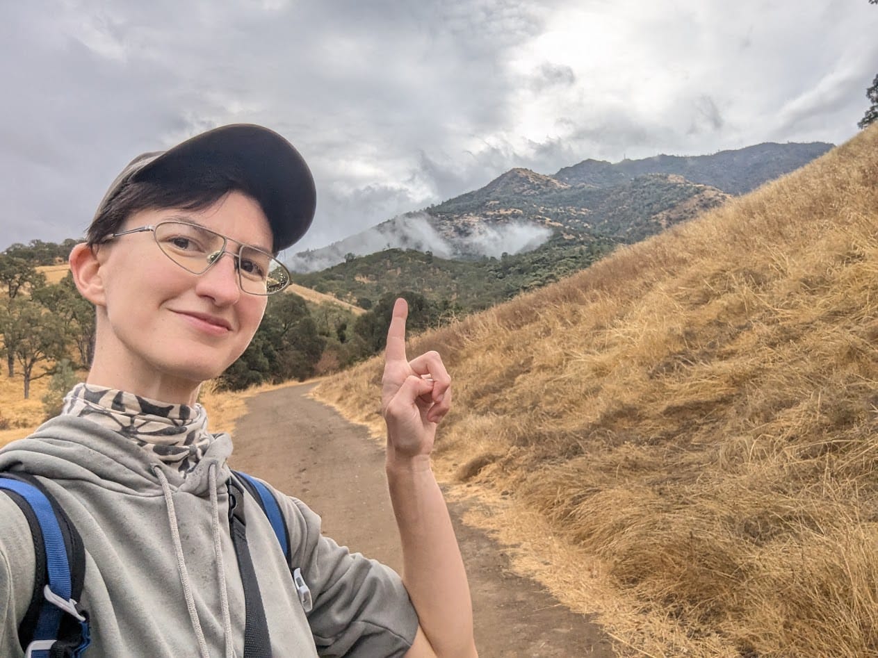
So this past week, I decided to revisit a route with some significance to me, the Mt Diablo Six Peaks Loop. I've been hiking this route for years; I've probably done it 3-4 times at least. It is so challenging that I had turned it into almost a ritual, last year it was the first hike I did after New Year's. It's 16 miles of constant elevation gain and challenging terrain, and even when I started doing hikes in the 20+ mile range, I still considered it one of the hardest hikes in the Bay Area.
I used to plan for it days in advance, psych myself up, and end up sleeping 4-5 hours on and off the night before out of anxiety. This time, I decided to just up and do it, treat it like a normal hike and see how it goes.
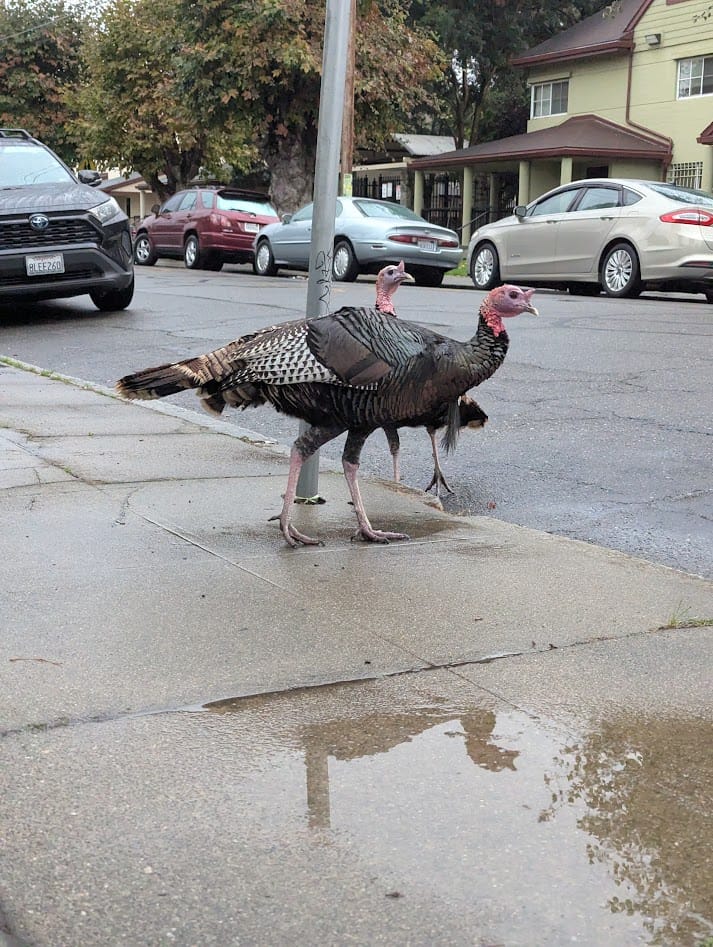
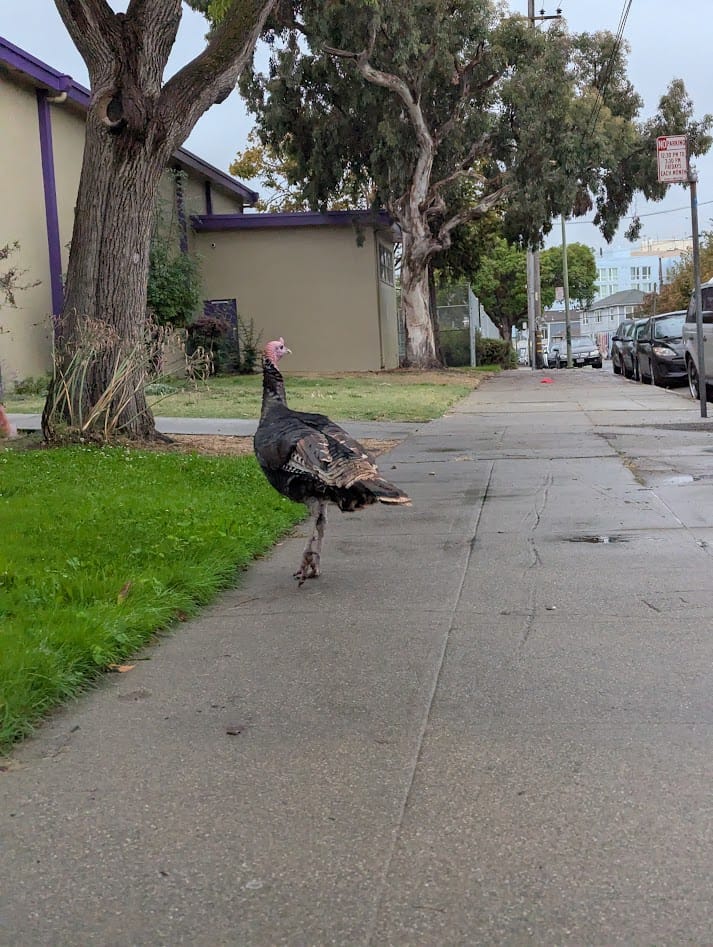
I woke up early - this time of year I was actually worried about having enough daylight - and took a train and a bus to Clayton. On the walk to the BART station I ran into West Oakland's resident wild turkeys, strutting around next to the elementary school.
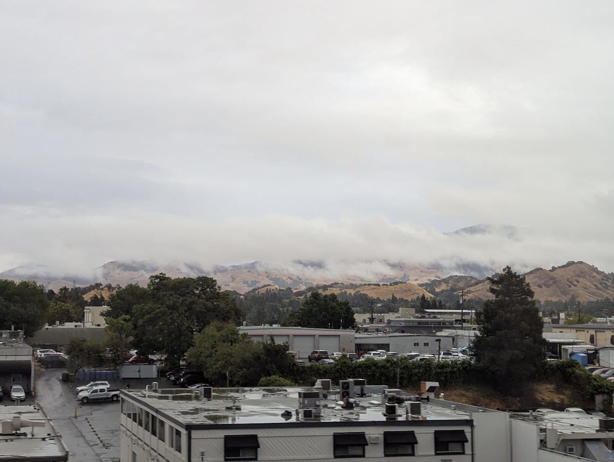
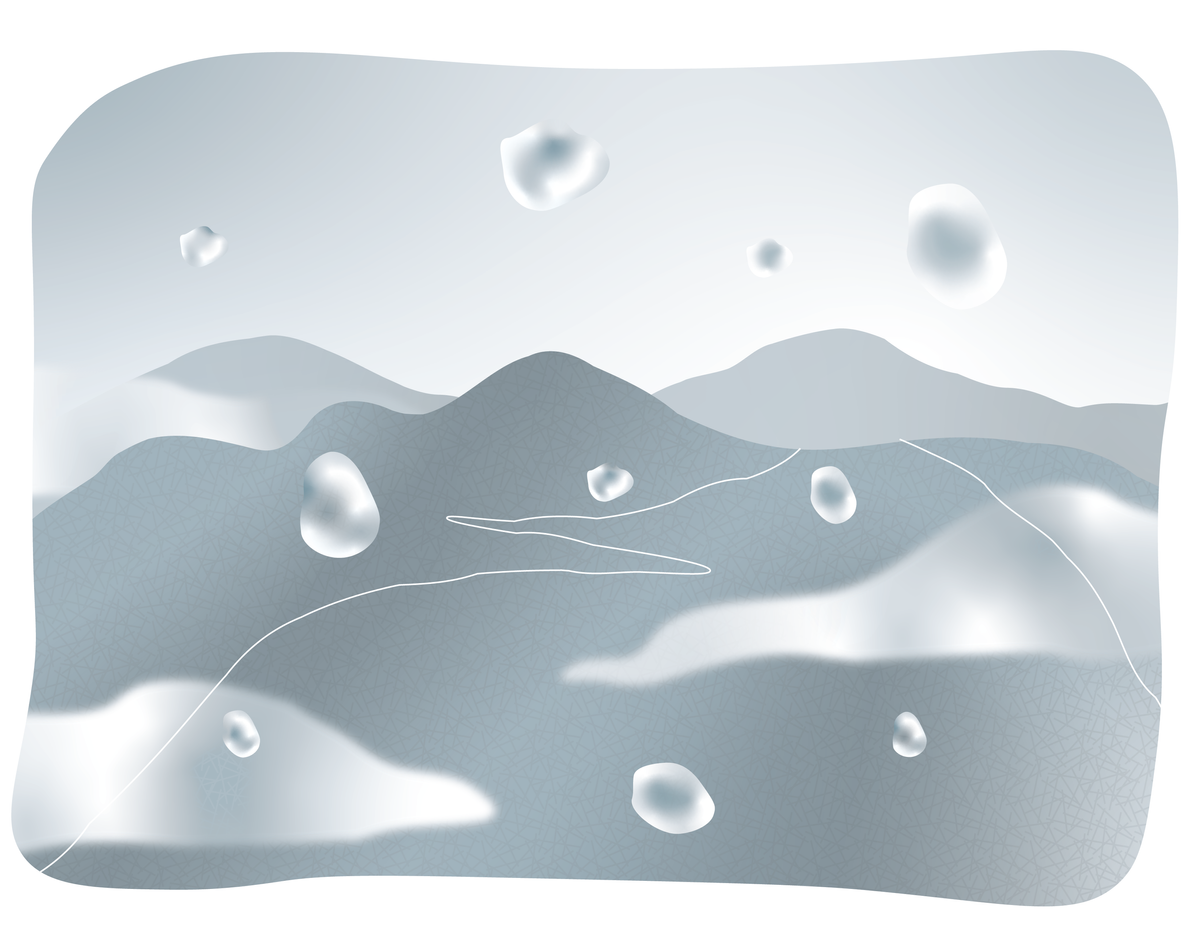
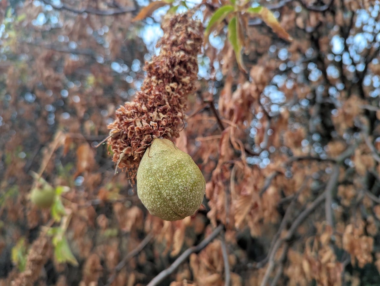
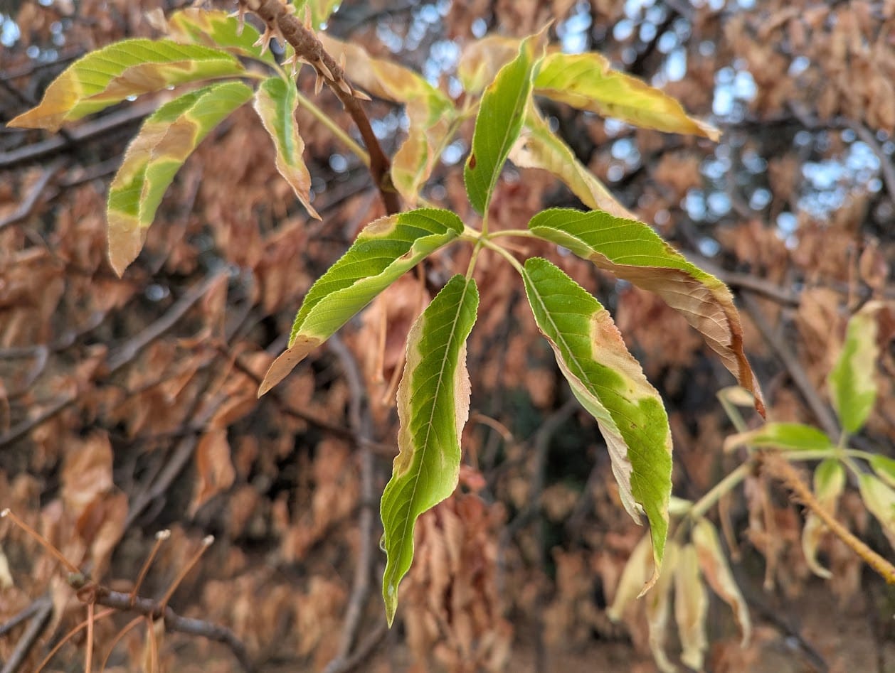
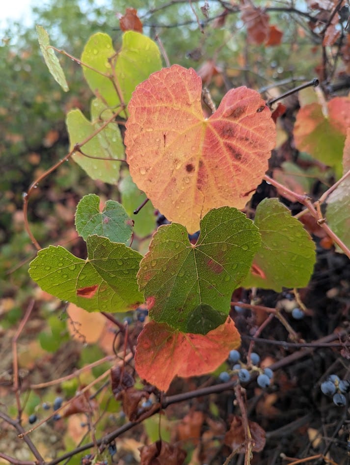
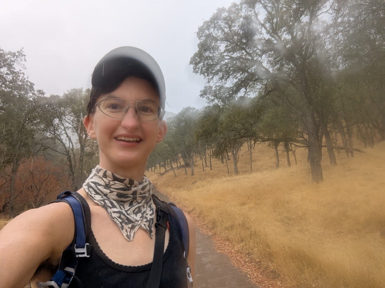
Once I arrived I could already tell I was entering as close as we get to a fall colors wonderland in the Bay. The buckeyes were putting out buckeyes. The leaves that change color were changing. And much to my delight, it was gorgeously grey and foggy.
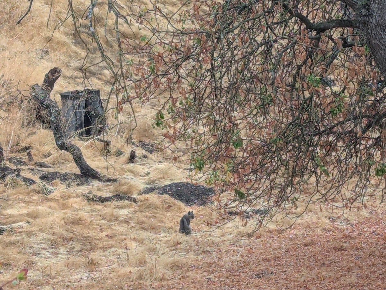
I had barely left the neighborhood where I began my hike when I saw a bobcat!! I had to do a double-take, I've only seen one other bobcat in my 1000 or so miles of hiking over the past few years. It took lots of restraint not to go pet her on the noggin, but I Respect The Wildlife, so I observed from the road. I wasn't entirely convinced she wasn't a stump until her head turned slowly to follow me as I walked past.
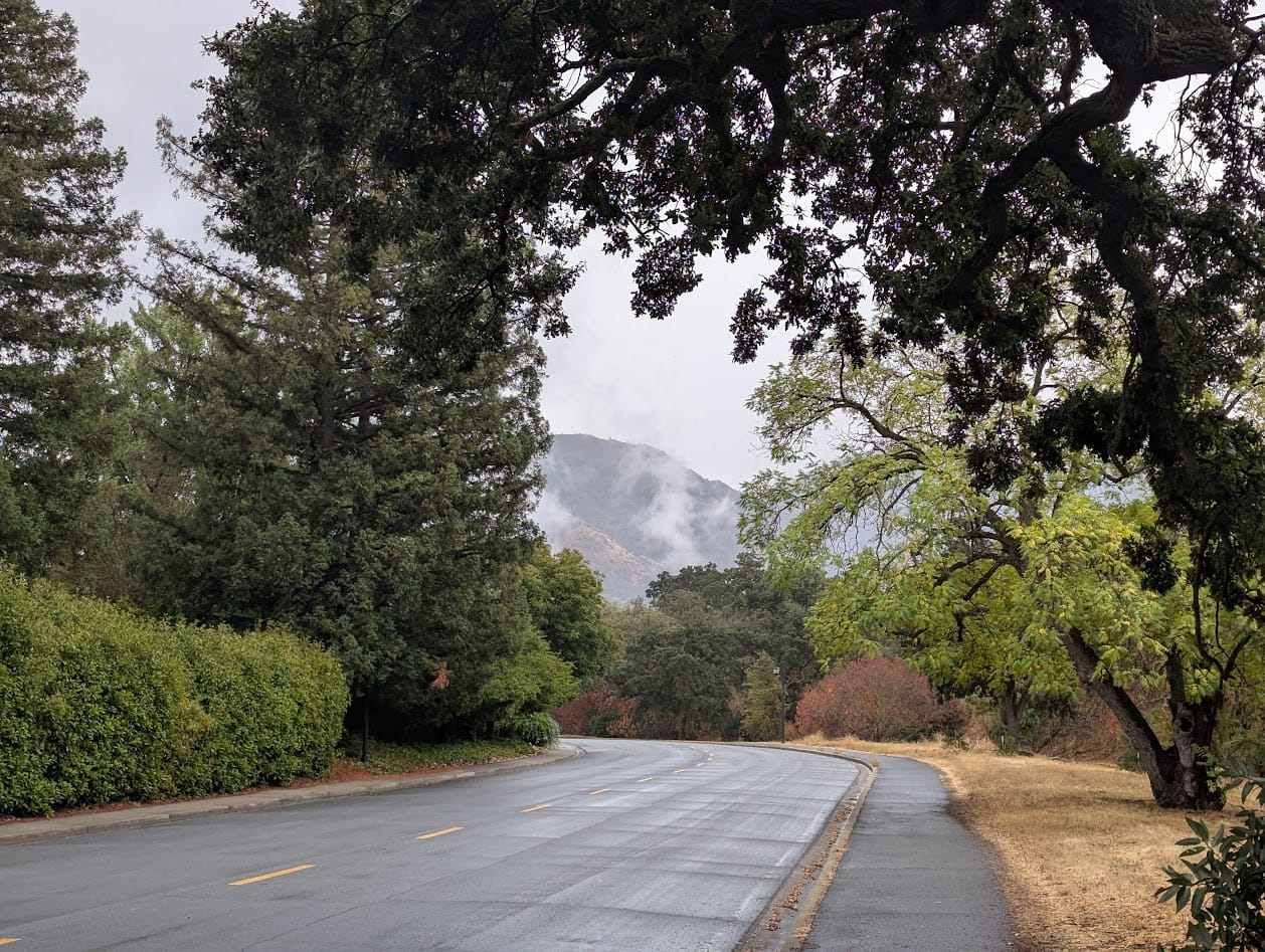
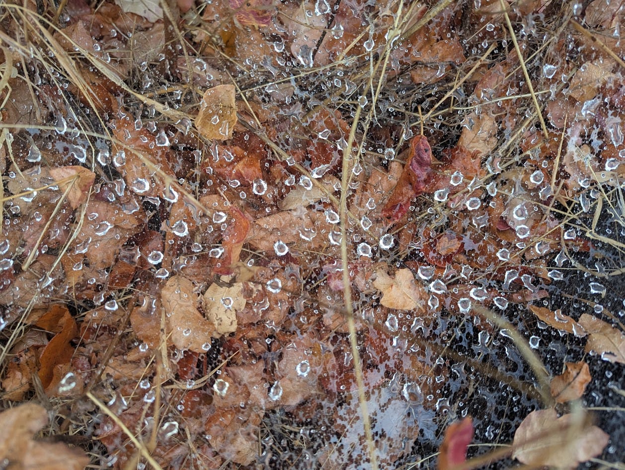
I continued on, knowing that the sun would burn off all these beautiful clouds in a few hours, and hoping I would get to hike up into them at least once. My first stretch of elevation basically had me ice skating up a muddy hill with an inch of mud on the bottom of my shoes, having to catch myself here and there with my hands to keep from sliding back down. I had a blast.
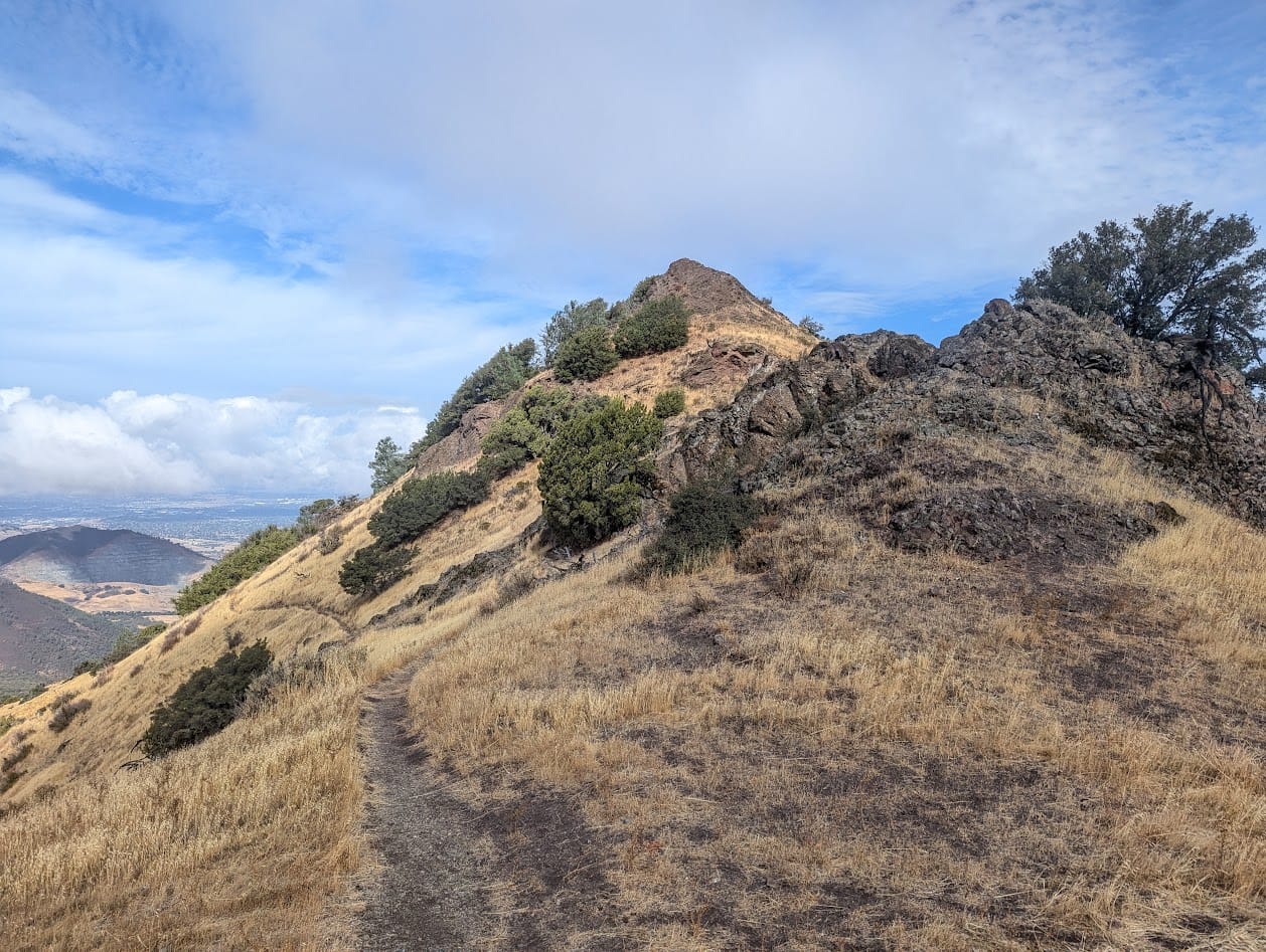
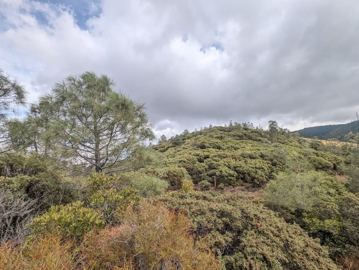
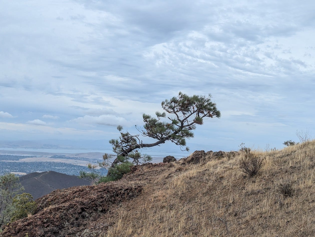
As I made my way up the base of Mt Olympia, I passed through a stretch of manzanita forest. I love how the rain really sets off their shiny red bark.
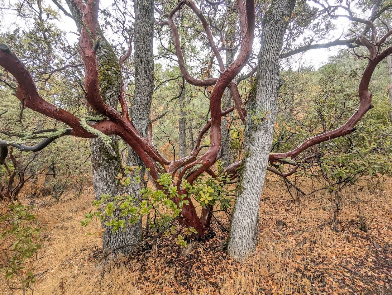
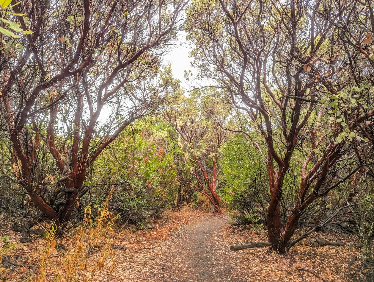
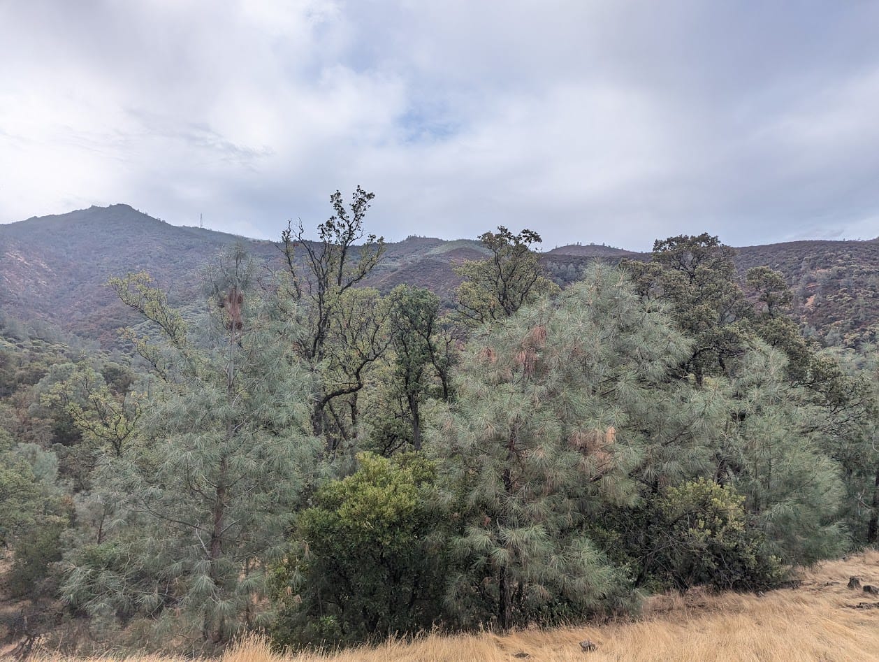
The views from this climb are really beautiful, looking out over a mix of coulter and/or grey pine and manzanitas.
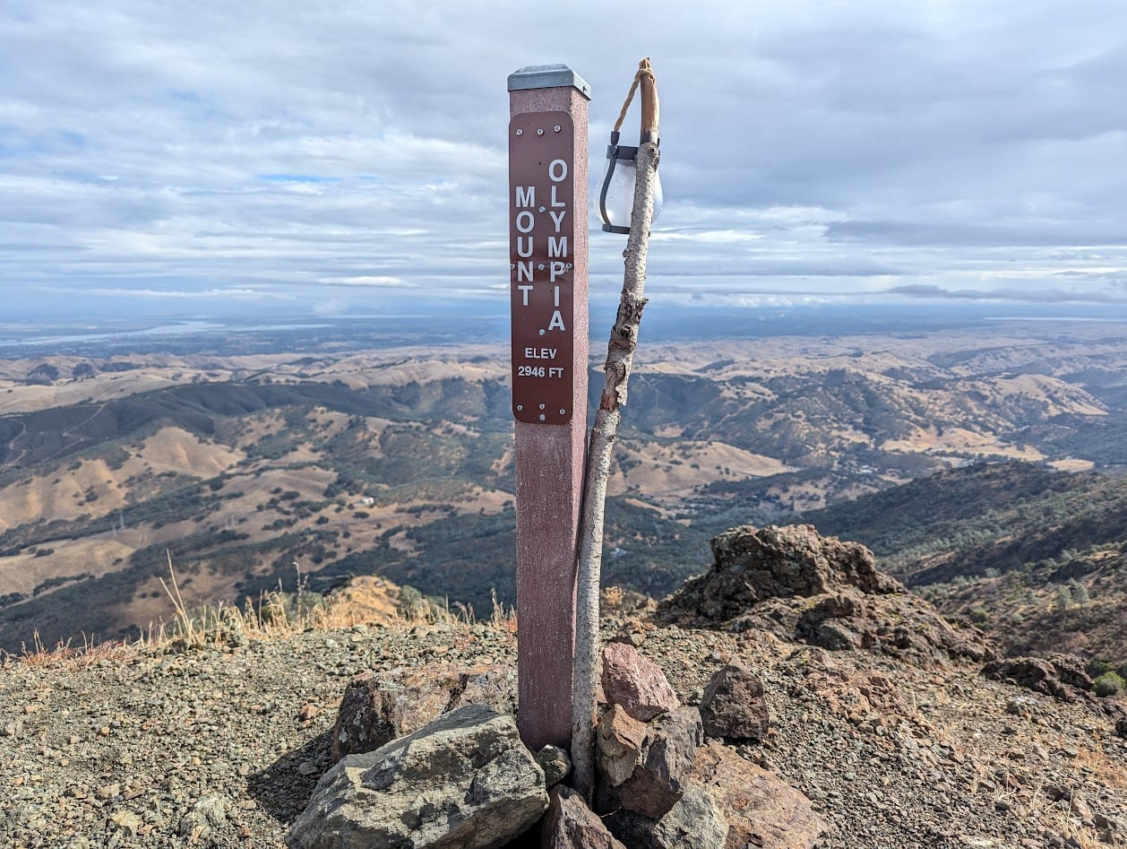
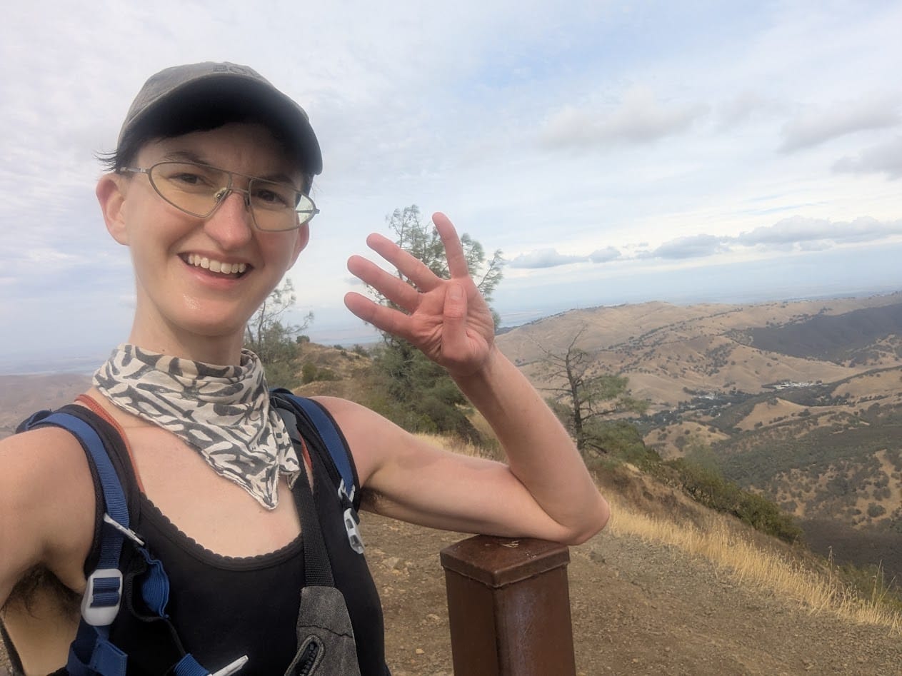
Peak 1: Mt Olympia
I made my way up to the first peak, Mt Olympia. This climb takes a while, as it's the only one on the route where you're climbing all the way from street level. The rest of the peaks are connected by a ridge. I like this peak, it's always quiet and the views are nice.
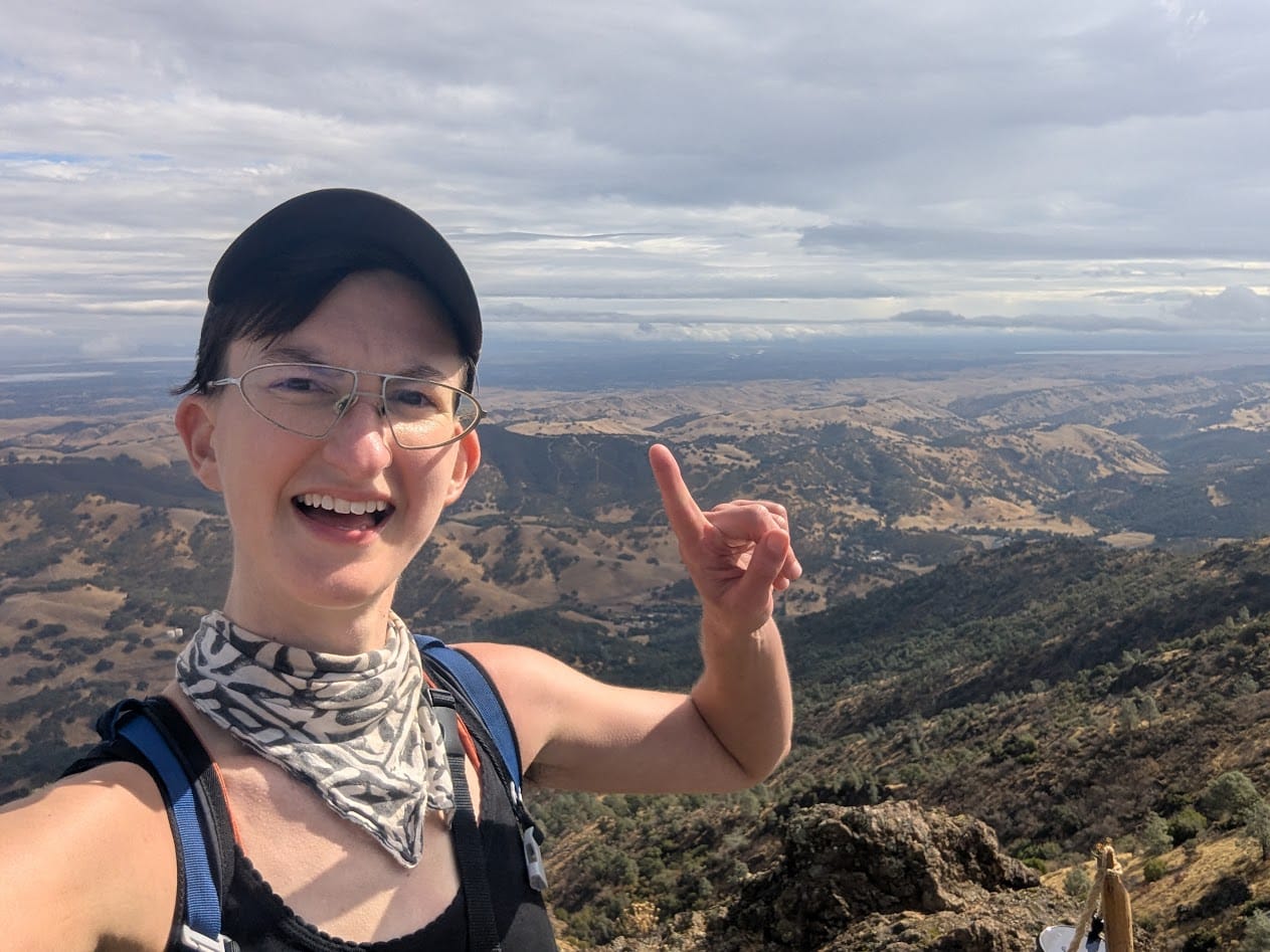
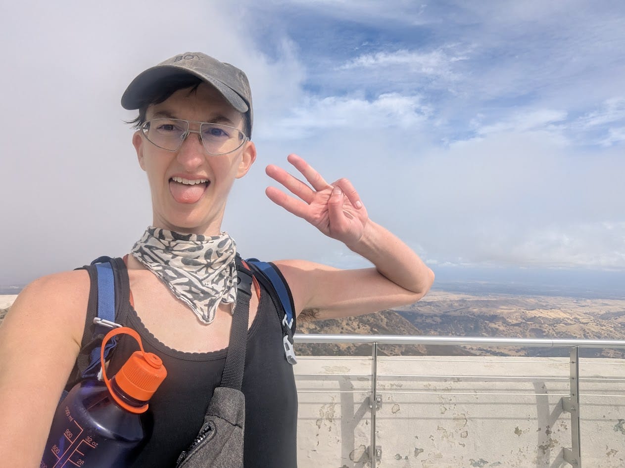
This is the start of a series of increasingly goofy ass photos of me holding up fingers for each of the 6 peaks. I started doing this the first time I hiked this route and can not stop.
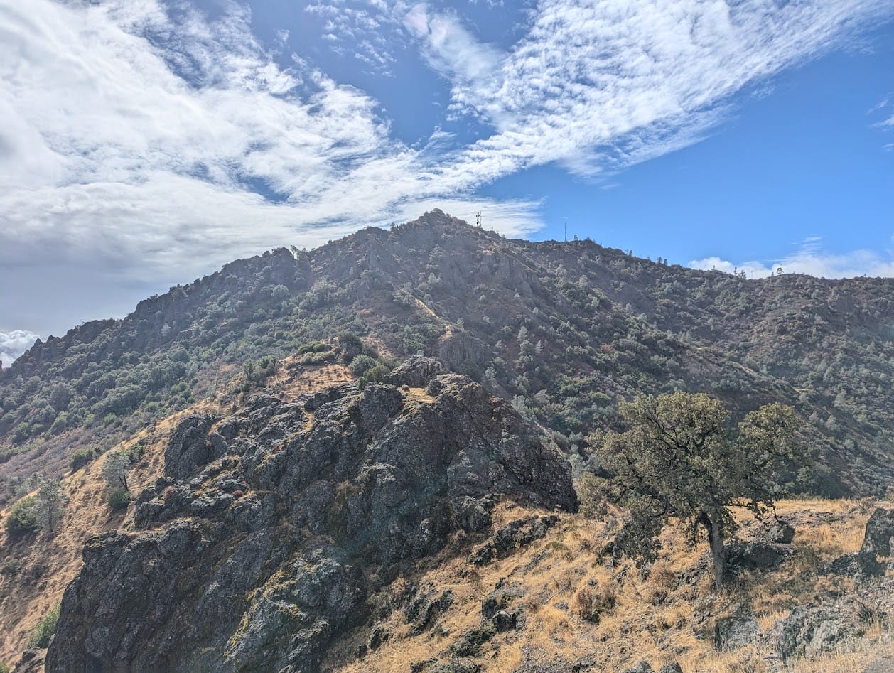
Peak 2: North Peak
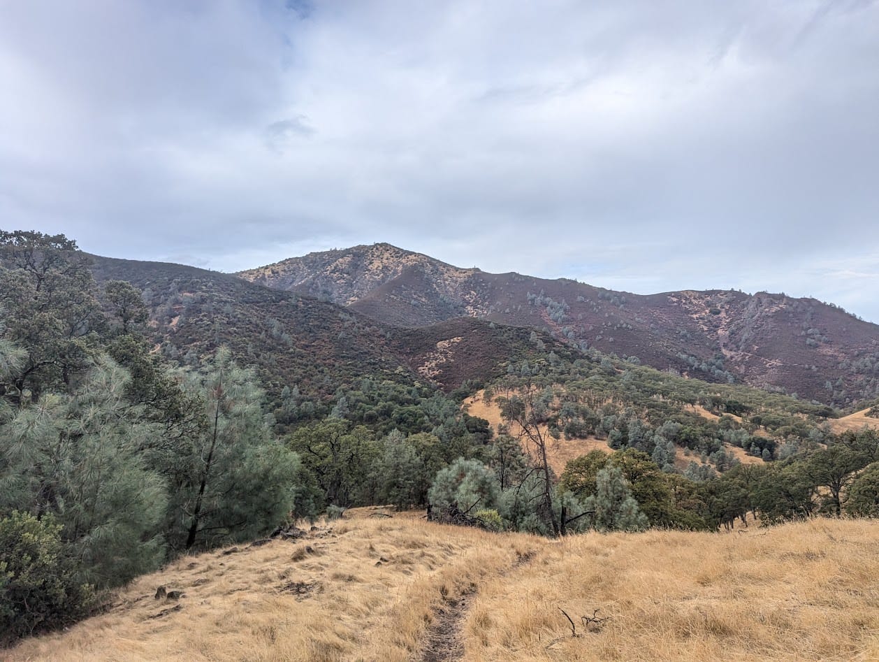
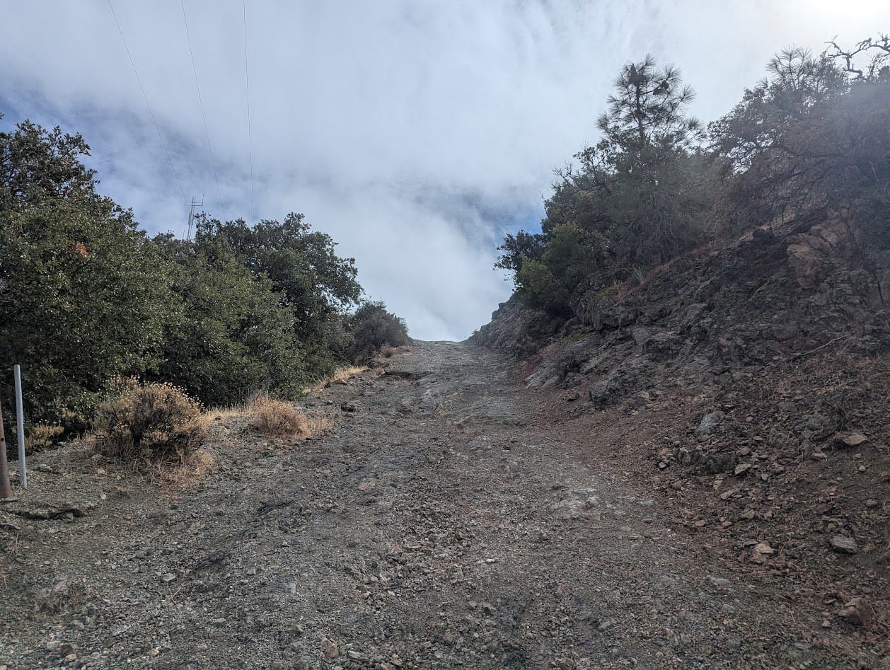
After Mt Olympia, I hiked along a saddle connecting it to North Peak. North Peak is the second tallest peak both on this hike and in this park, and the climb to the top is a total bitch. Based on Alltrails reviews, it seems universally beloathed. The summit trail is less trail and more utility road you can hike on, so it's a washed-out vertical climb up slippery gravel.
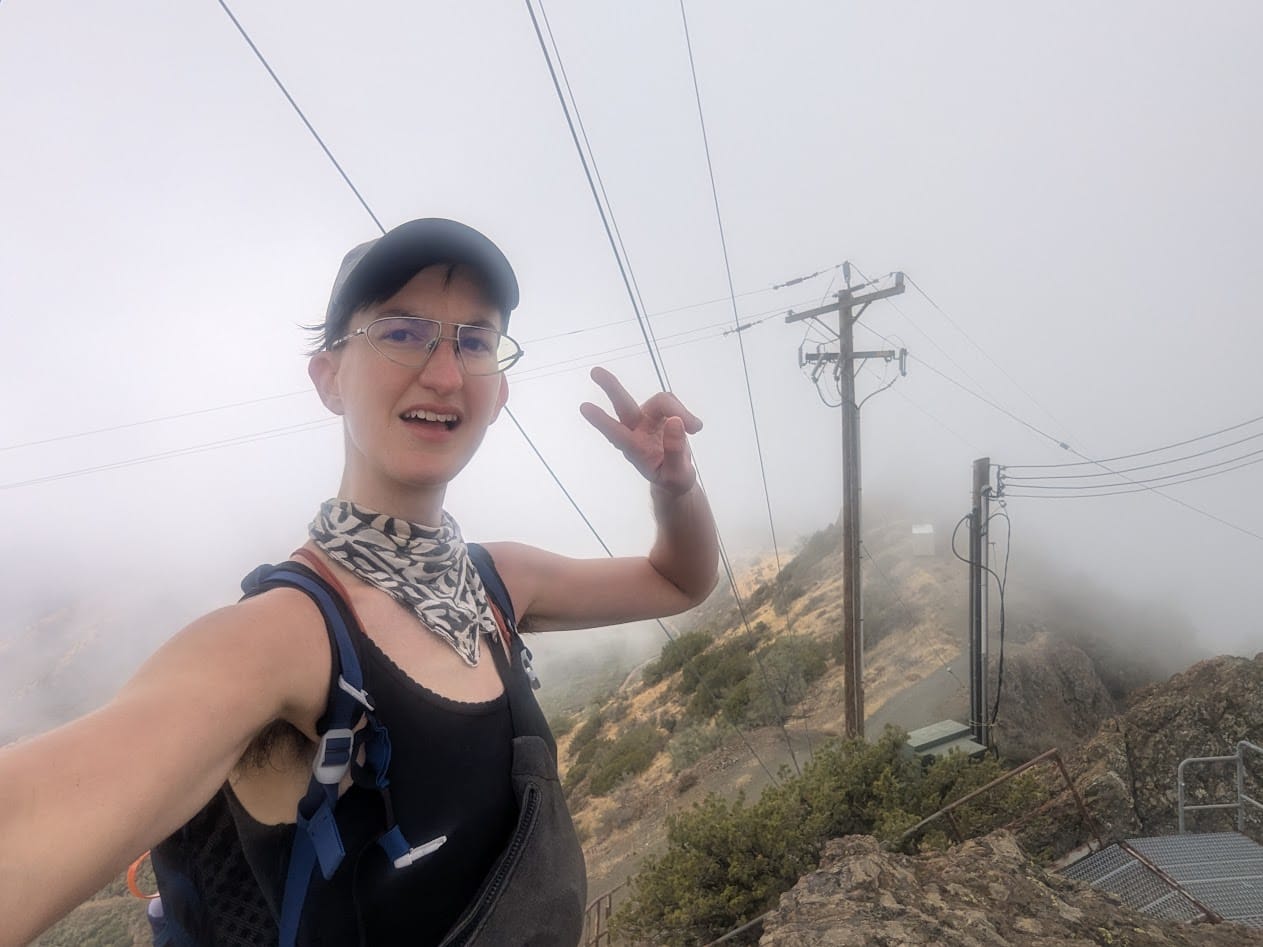
I made it to the top with much less struggle than previous attempts, and I got my wish of hiking up into the cloud.
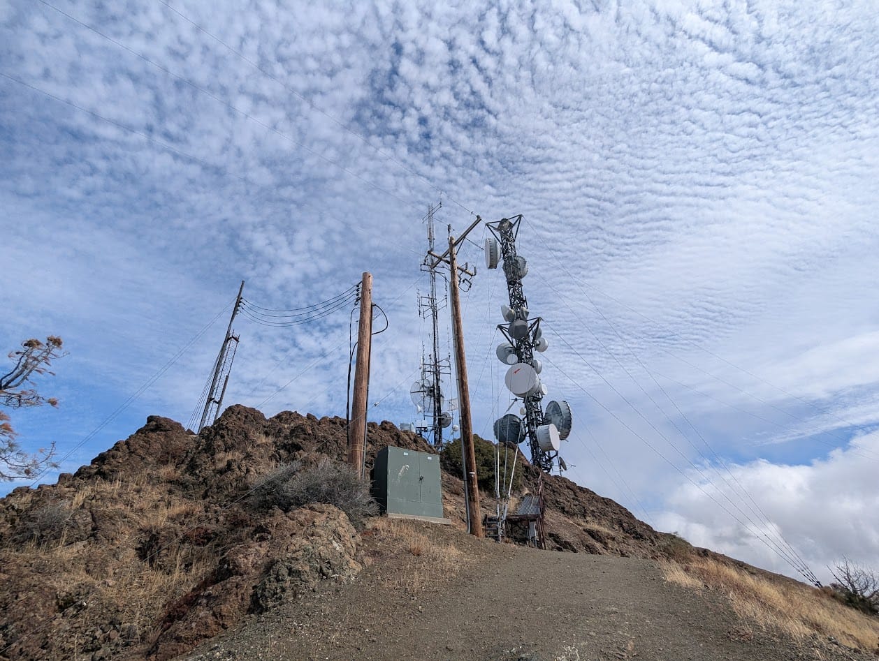
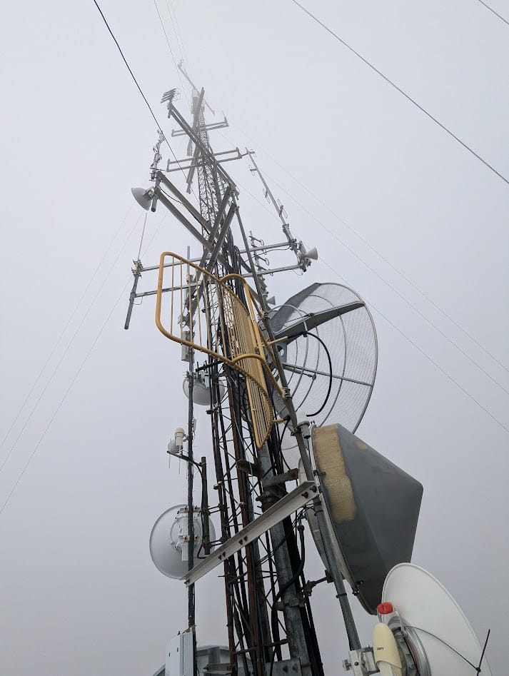
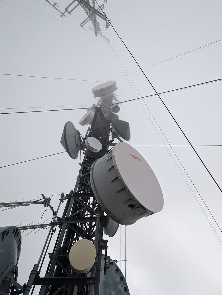
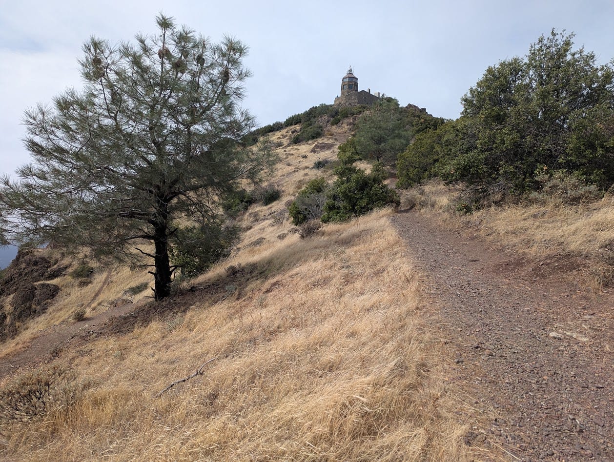
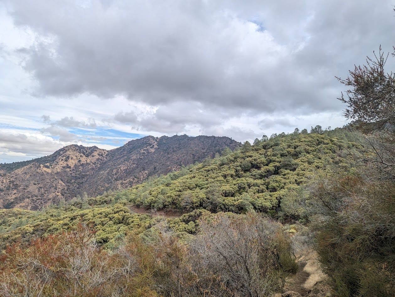
Peak 3: Mt Diablo Summit
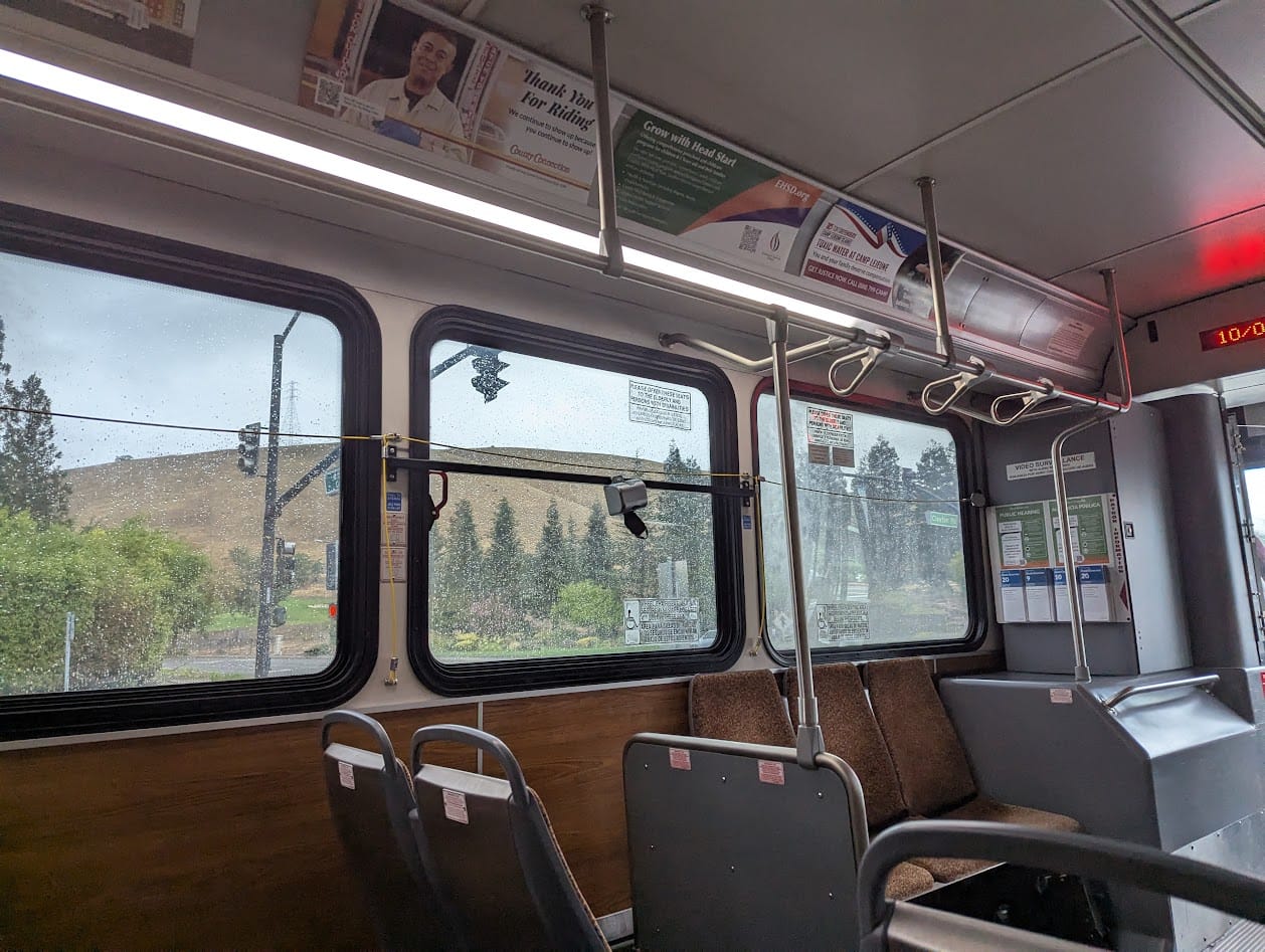
The hike to the summit of Mt Diablo is an out-and-back, leaving the ridge that connects the other peaks for an extra little bit of climb. At 3,848' it's the highest peak in the Bay Area that you can legally go on (there are others that are on "private property"). I really love the look of this side of the mountain, with its view out over endless hills. An old-timer I chatted with at the summit on my last go at this hike pointed out that on a clear day, you can see the Sierras.
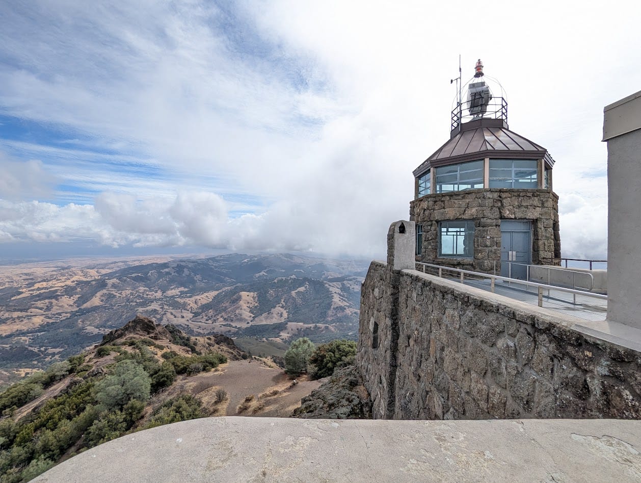
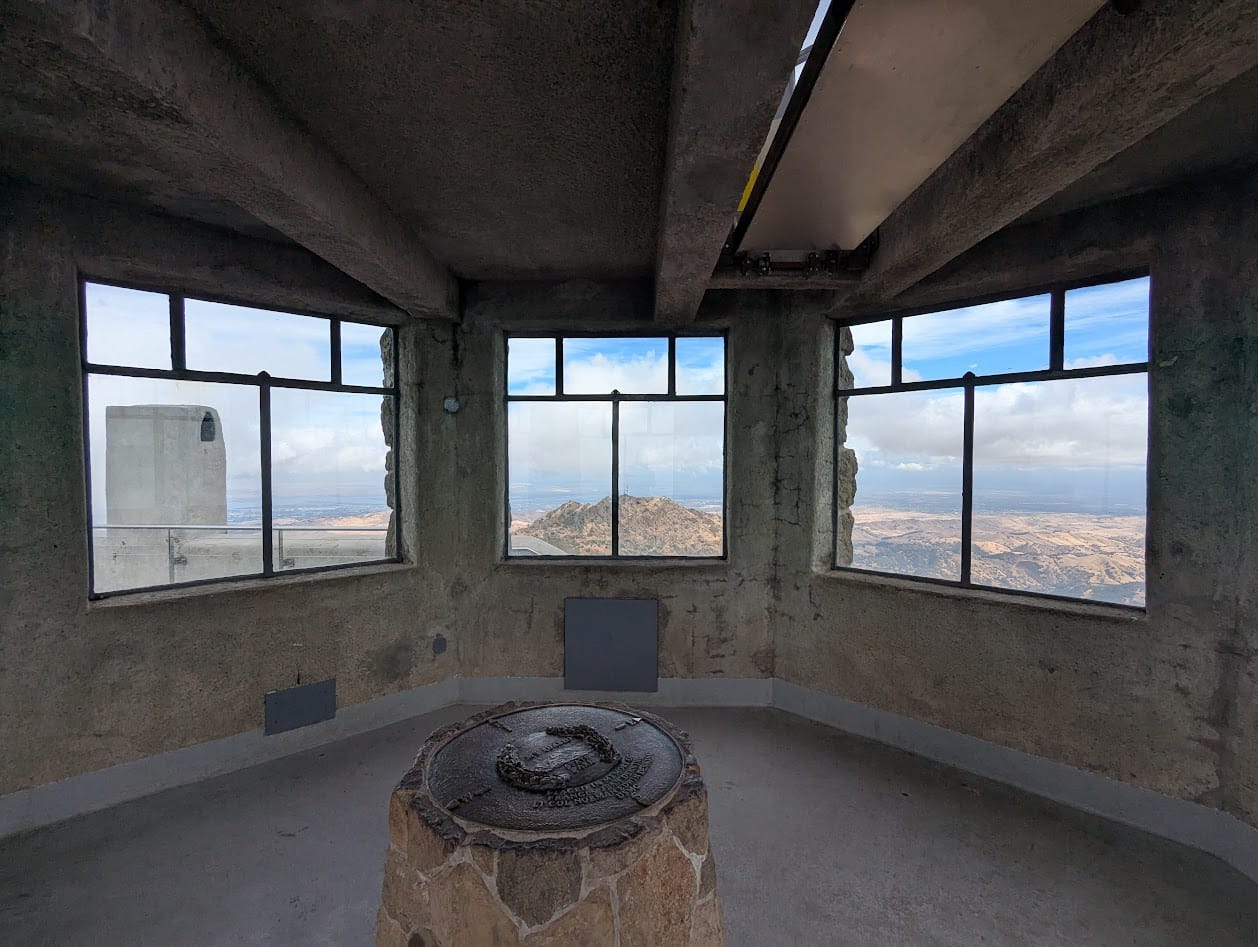
That's North Peak through the windows
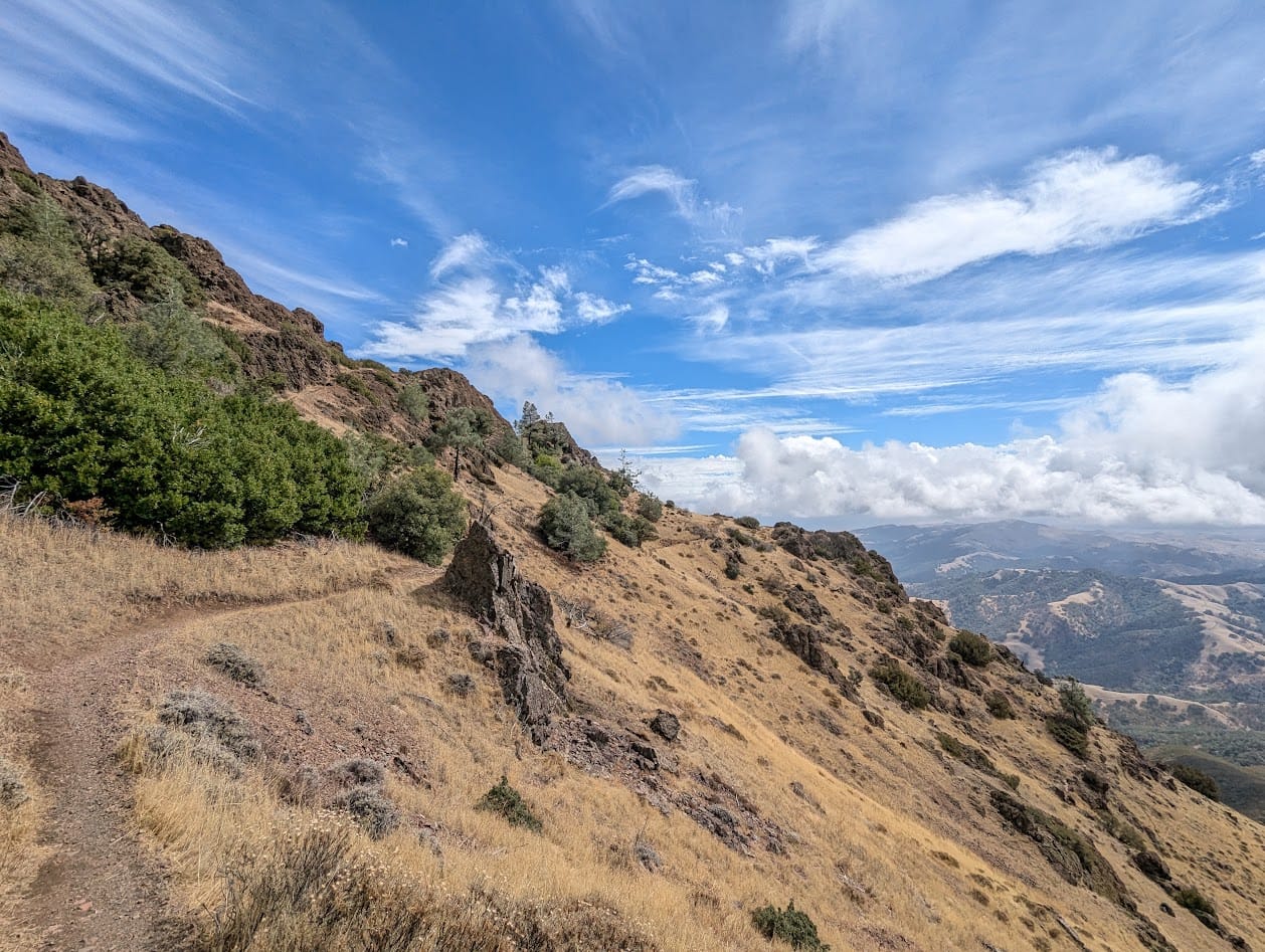
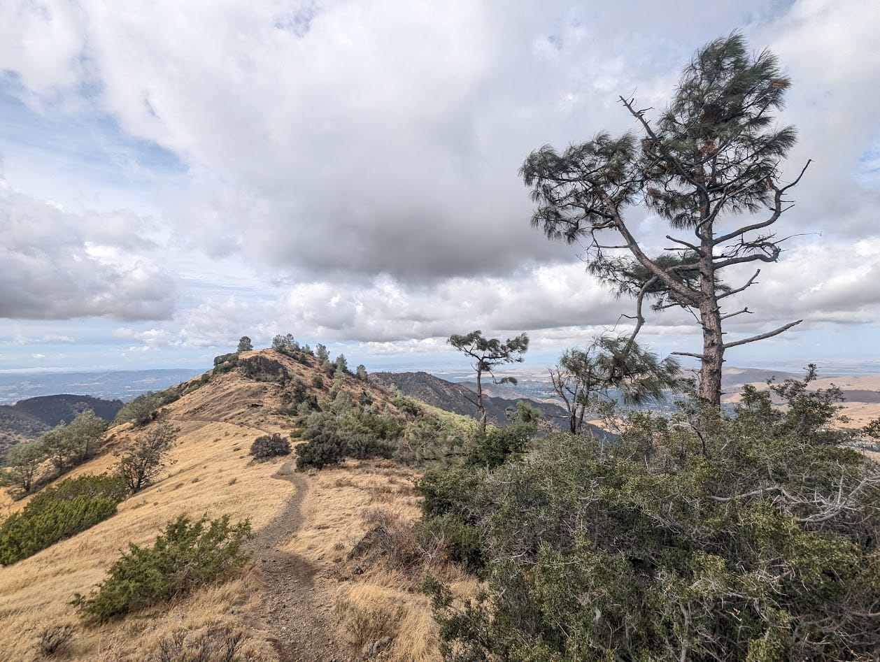
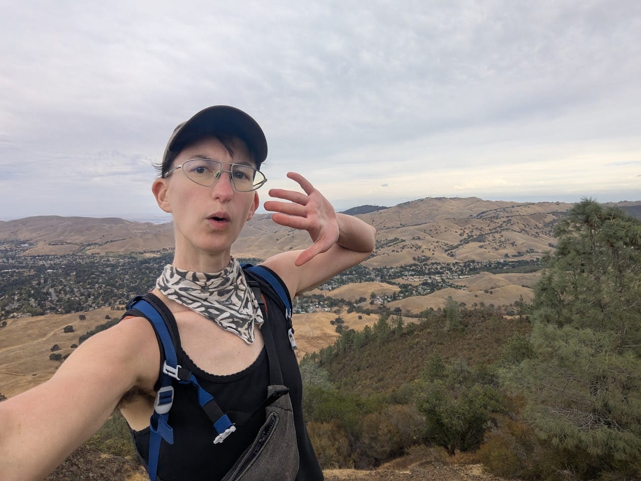
Peak 4 - Eagle Peak
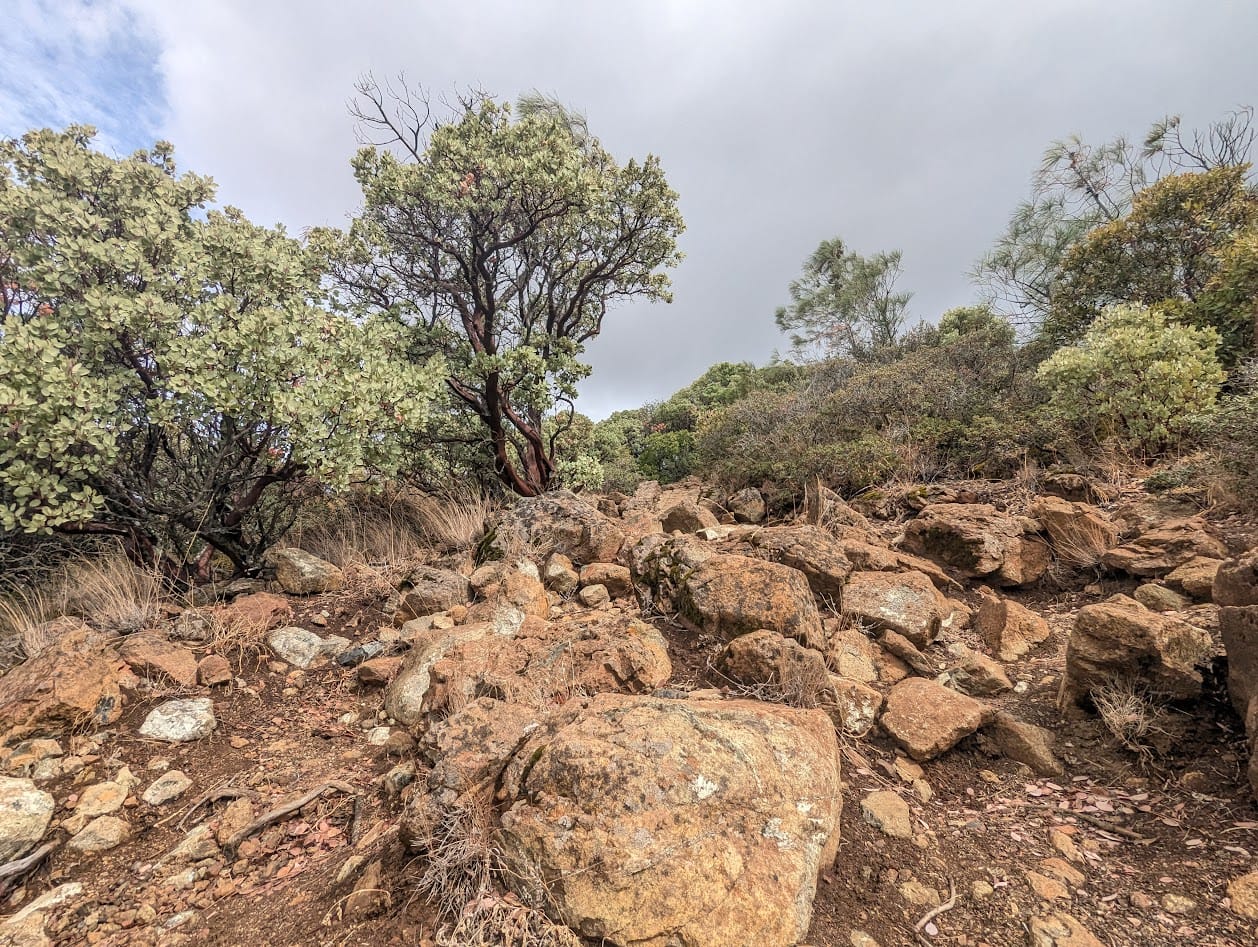
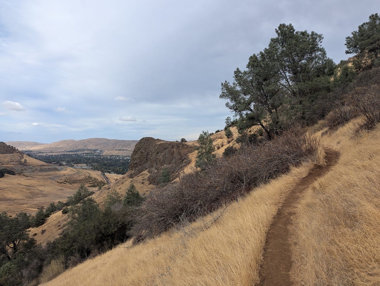
Eagle Peak is the last of what I'd actually qualify as a "peak", as the final two "peaks" are kind of just small rock formations. The hike to Eagle Peak starts with a long stretch along this weird ridge that I like a lot for some reason, and then gets very scrambly. The terrain starts to feel like a prank after a while.
Peaks 5 & 6 - Twin Peaks & Mitchell Rock
The last bit of this loop is mostly making your way down off the ridge and stopping at a couple of rock formations. Overall this hike didn't kill me in the way that it did on previous attempts, but I was still extremely tired, and my knees and ankles had had it.
I finally ran into a few more hikers on this stretch after having the entire park to myself for the first 12 or more miles!
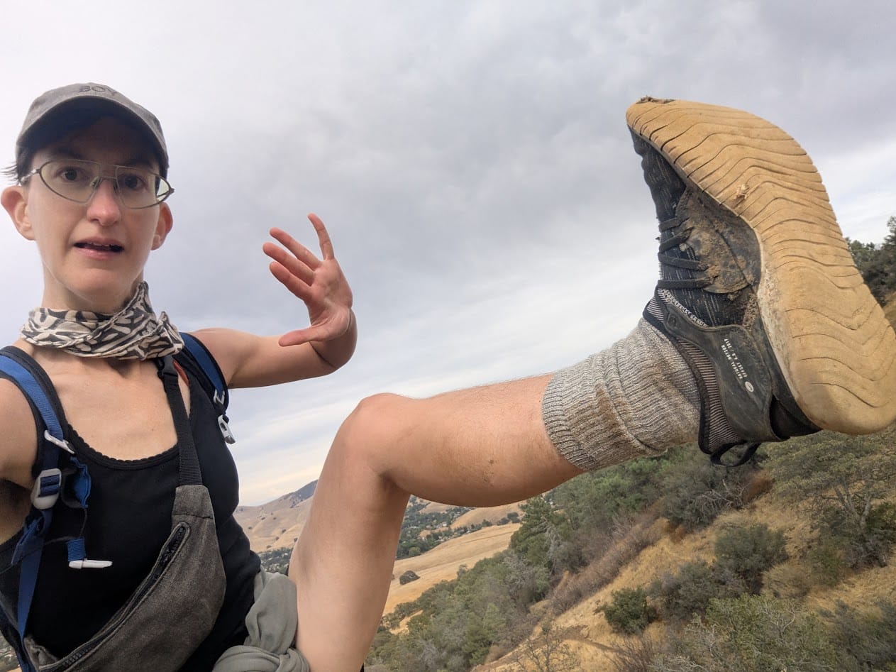
I ran out of fingers to hold up and also hold my phone so enjoy me trying to get my foot in frame while also not tumbling to my death
I made it to my bus home a full hour earlier than anticipated! I ended up doing the whole thing in 7 hours, 3-4 hours shorter than my first attempt a few years ago.
I don't really do any of this for the stats, but I'm very proud of the progress I've made! I even ended up jogging some of the rare flat stretches of this route.
I almost forgot to mention the tarantulas
Tarantula season lasts from August to October, as the males who have reached maturity after 7 or so years come out and visit females' burrows, looking for one last fling before they all die off around Halloween. I was lucky enough to see two this trip!
Good luck, fellas!