Hikepost_008 - 4 Hikes for the Price of One

A couple of weeks ago I was googling something unrelated, and came across this brochure from the Friends of Mt Tam:
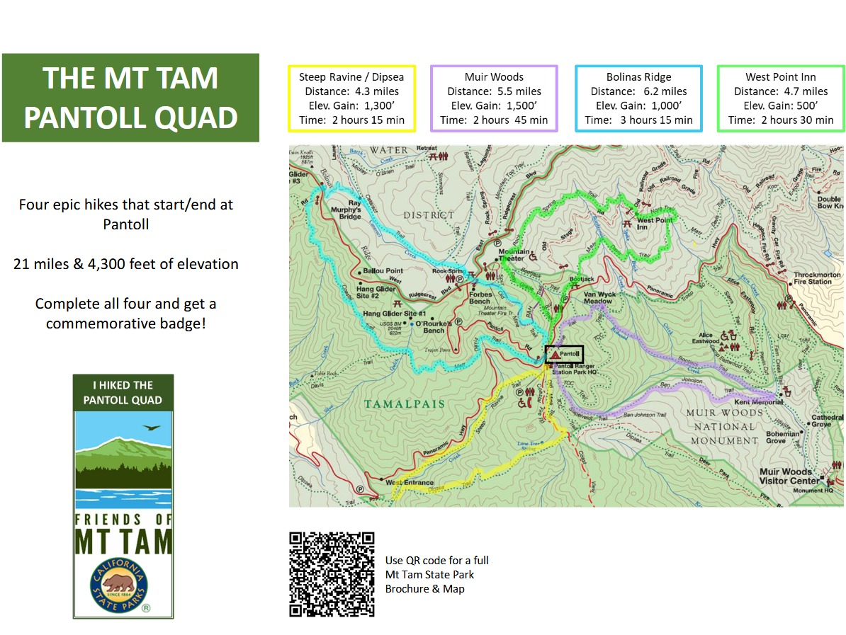
My eyes went straight to the stats on the left of the image. I thought "damn, 21 miles and 4300' of elevation, that's gonna be a tough one but I can do it." I was kind of surprised that the local family-friendly volunteer org would put out a challenge that sounded like some ill-advised scheme I'd come up with.
Then I read it a little more closely and realized the hikes are meant to be done cumulatively - over a few weekends, or over the course of a summer; check each hike off when you finish it, and receive a *commemorative badge*! (Alltrails says I've hiked almost 1000' miles over the past few years, and no one's ever given me an award for it!)
Of course I decided to still do it as one big hike, because I have Hiker's Madness, and am incapable of being casual about anything.
The route
All 4 of the hikes are loops that start and end at Pantoll Campground, which is most of the way up the ridge of Mt Tam. Each loop is roughly the same length, going off in each of the 4 cardinal directions before looping back to home base.
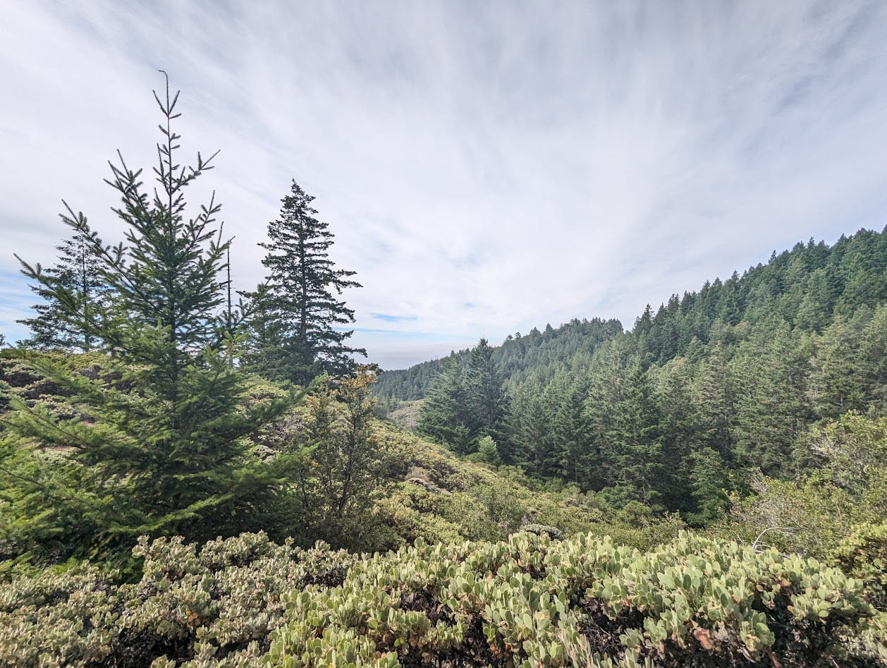
I've hiked these trails extensively, and could tell that this was going to be a tour of just about every biome on the mountain: the east and south loops go through some of the best redwood forest, the north loop is lots of rocky serpentine habitat, with views out over the bay. The west loop has douglas-fir forest and coastal grasslands looking over the ocean.
There was an attempt
A few weeks ago, I made it through 3 of the loops, but had to call it quits early, as I was running out of daylight. It's not my fault - my first bus was running so late that I missed my next 2 buses and got there 4 hours later than I was planning!
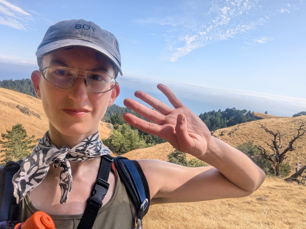
Did the thing
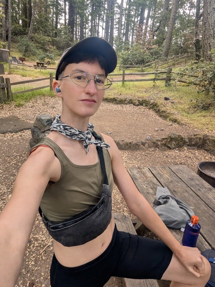
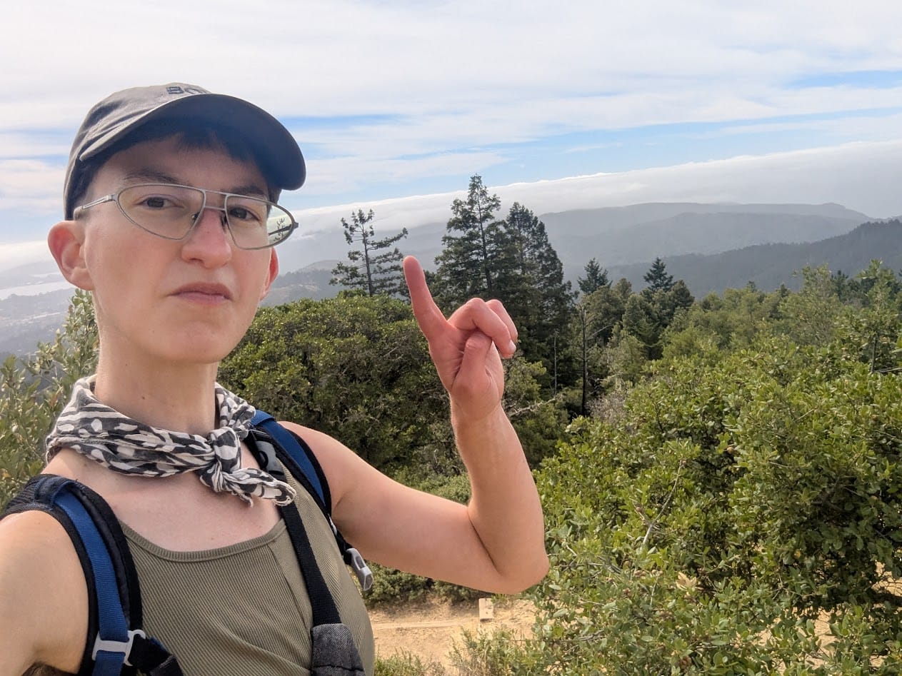
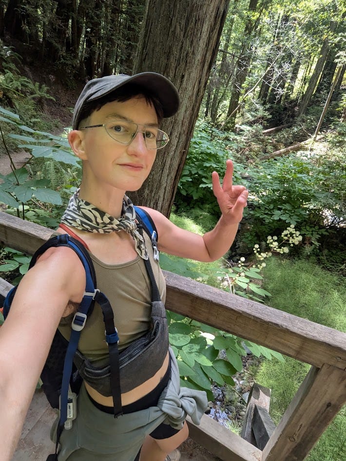
Only 2 weeks later, I was already ready to give it another go. The transit gods smiled upon me, and I made it to Pantoll a little after 9 am. I posted up at a picnic table to get myself ready, then I took off.
LOOP 1
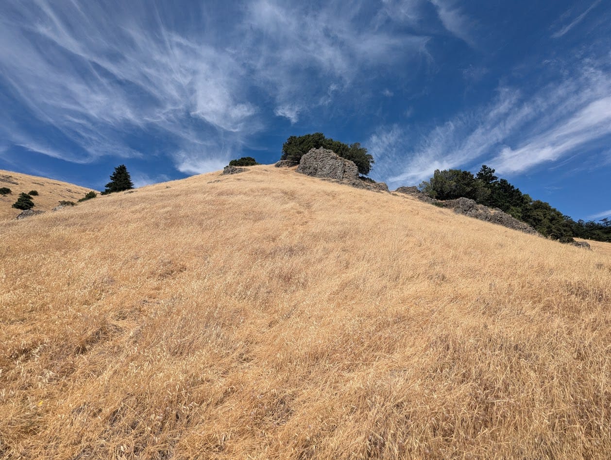
The first loop headed northeast, through some forest, then out to an open ridgeline, where serpentinite rock under the surface creates clearings in the trees. Translated: lots of panoramic views of the Bay, and some minor rocky scramble.
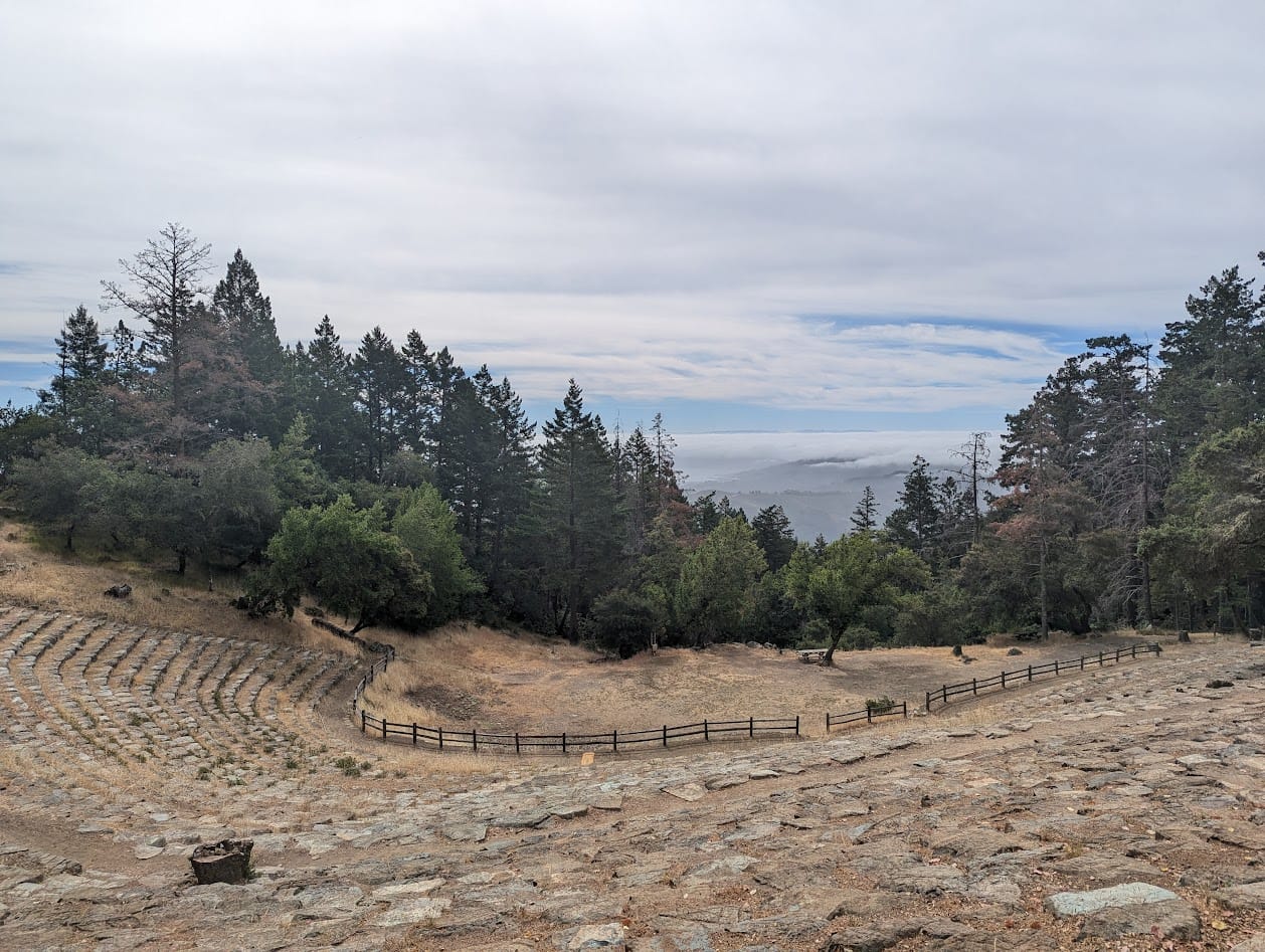
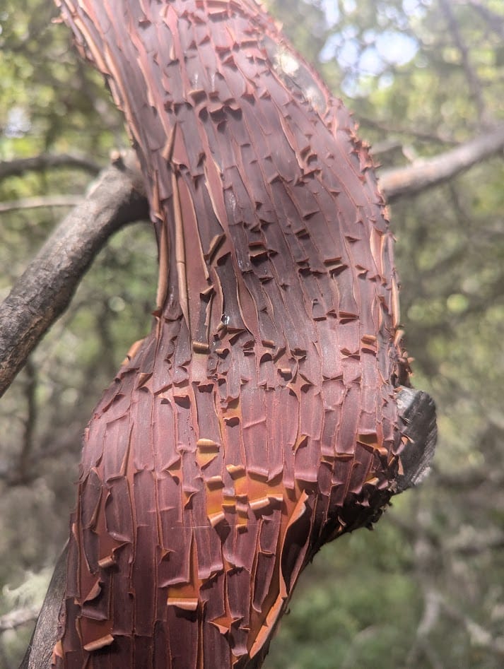
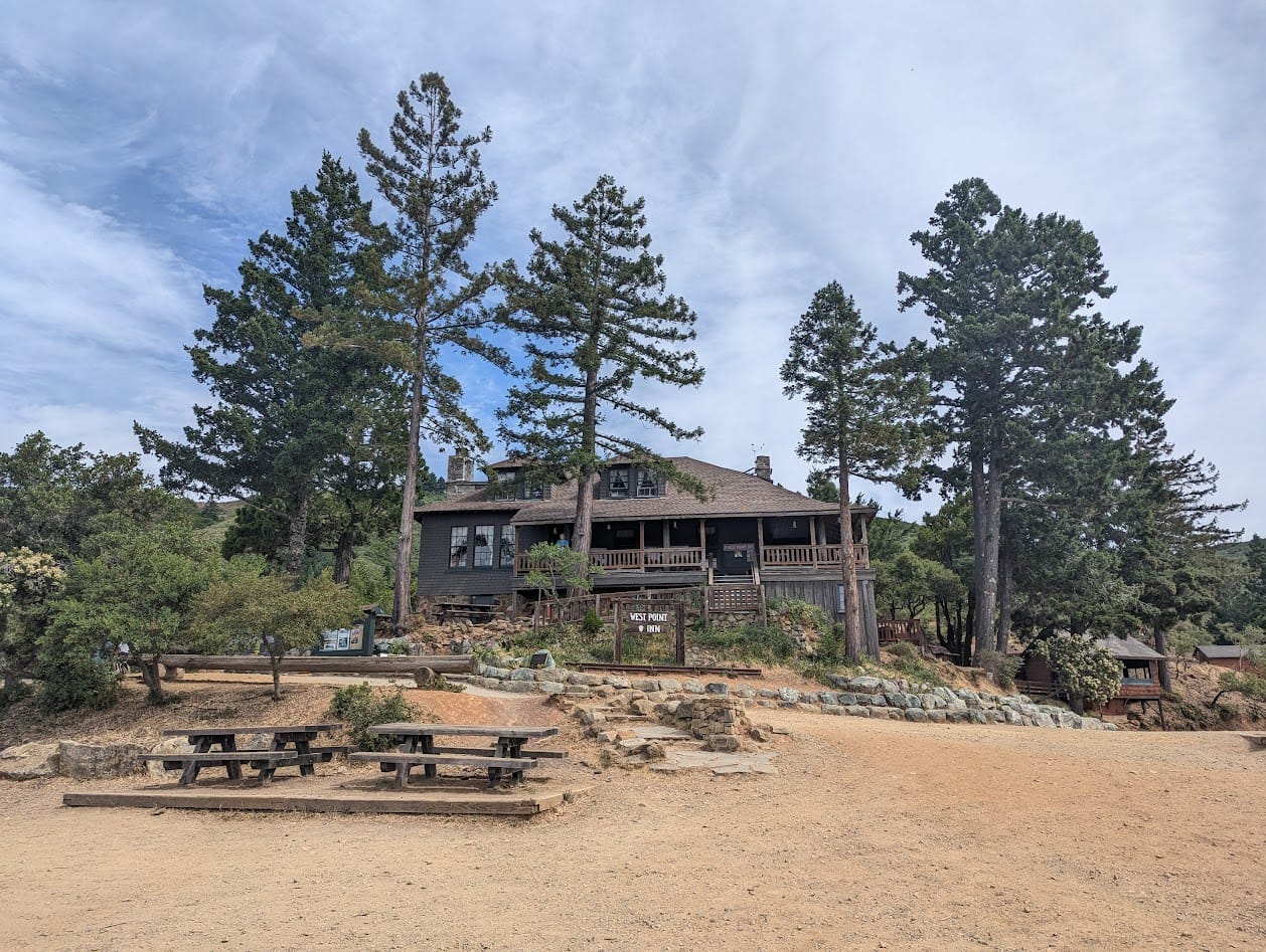
Cushing Memorial Ampitheater, manzanita bark, West Point Inn
LOOP 2
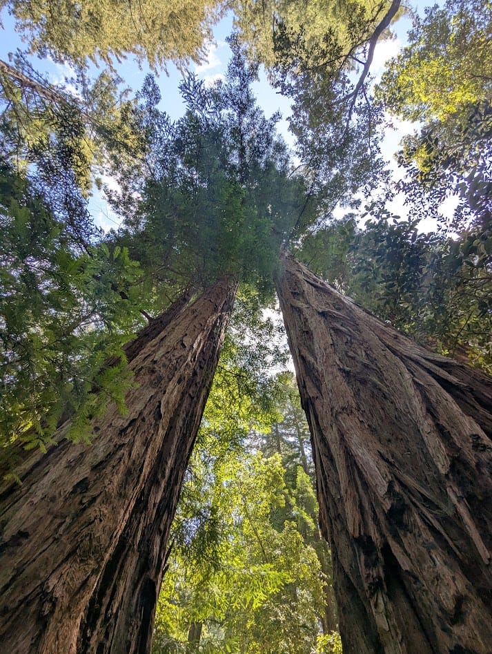
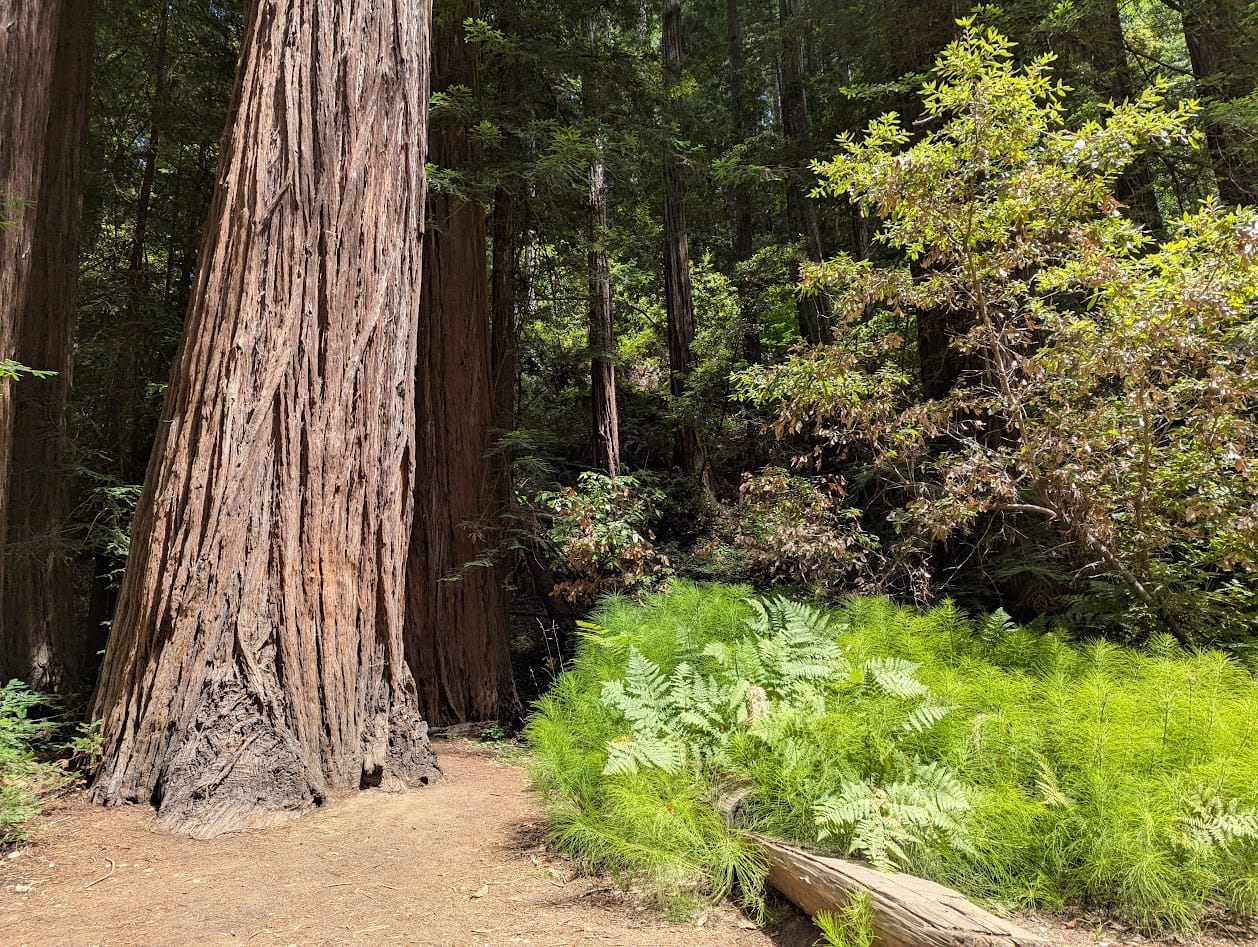
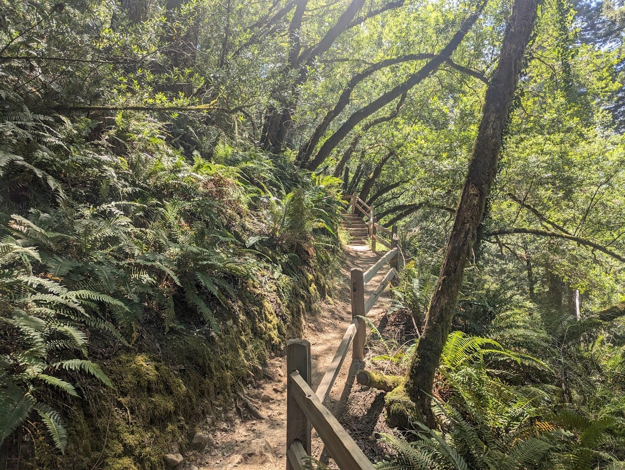
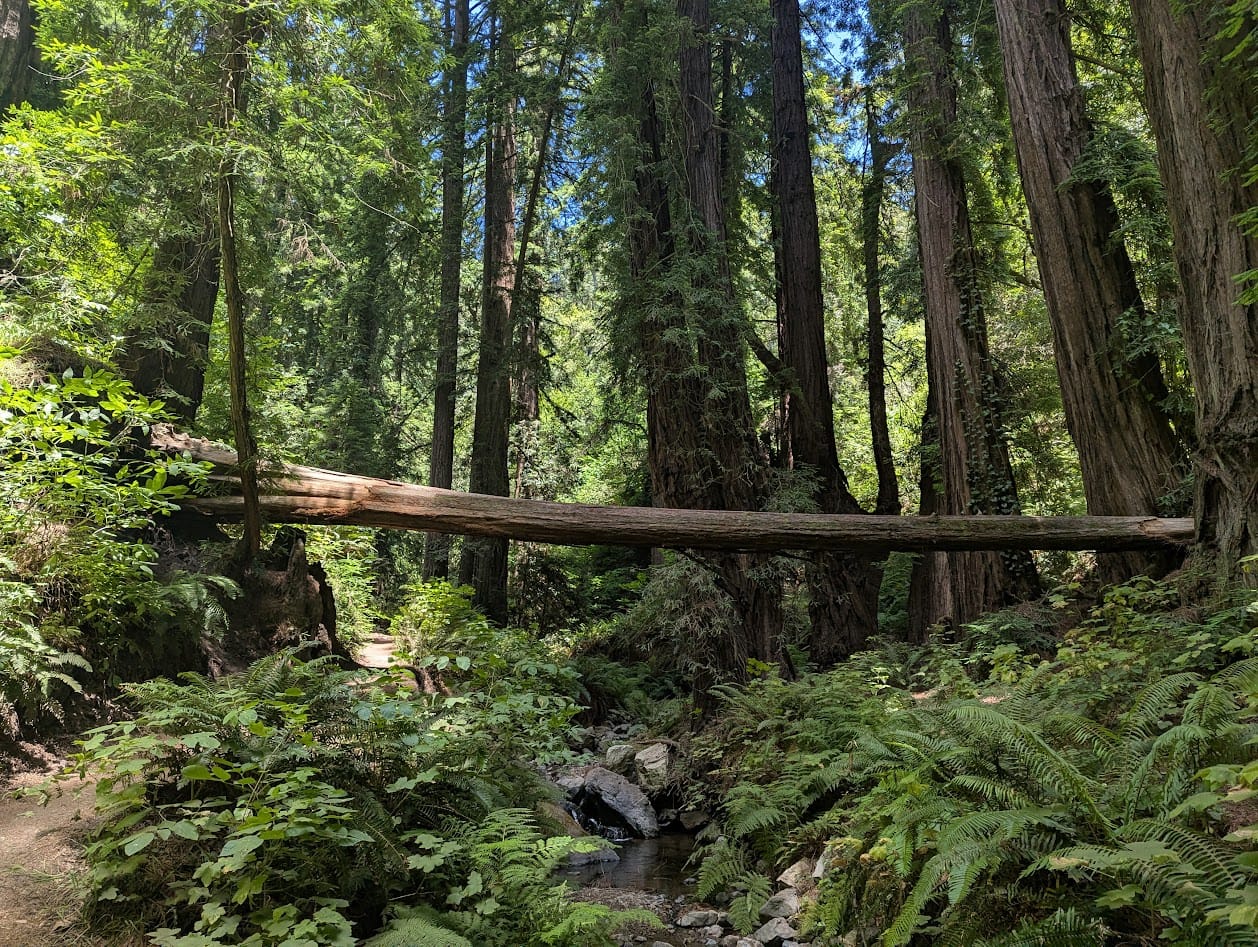
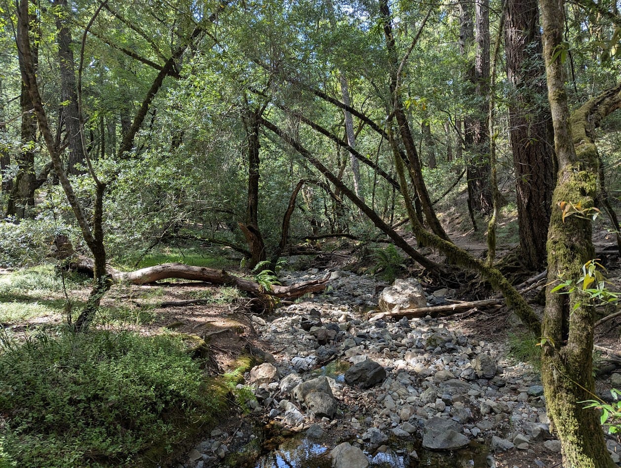
The second loop makes its way down the side of the mountain, ending in Muir Woods. This loop, combined with the next one, contains some of the nicest redwood hiking in the whole Bay. Ben Johnson and Bootjack Trails have been two of my favorites for a while.
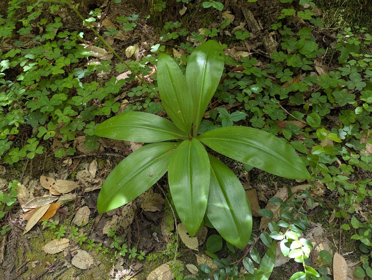
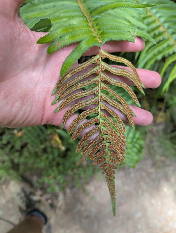
leaves growing in a patch of redwood sorrel, a sword fern with spores
Muir Woods is incredible for about a thousand different reasons, but one of my favorite parts is the forest floor. I love seeing lush carpets of redwood sorrel, a plant in the oxalis family that looks like clover. But I get extra giddy when I see the big patches of horsetails. They catch the sun in a really beautiful way. They're related to ferns, reproduce via spores, and are considered a "living fossil." And they look the part.
I passed a group of friends who were also fascinated by the horsetails. One of them said it looked computer generated. I had to agree. I did a really good job of not interrupting and verbally reciting the wiki article about horsetails to them. I didn't even tell them how horsetails, and the growth pattern of their leaves, are said to have inspired mathematician John Napier to discover logarithms.

horsetails, my love
LOOP 3
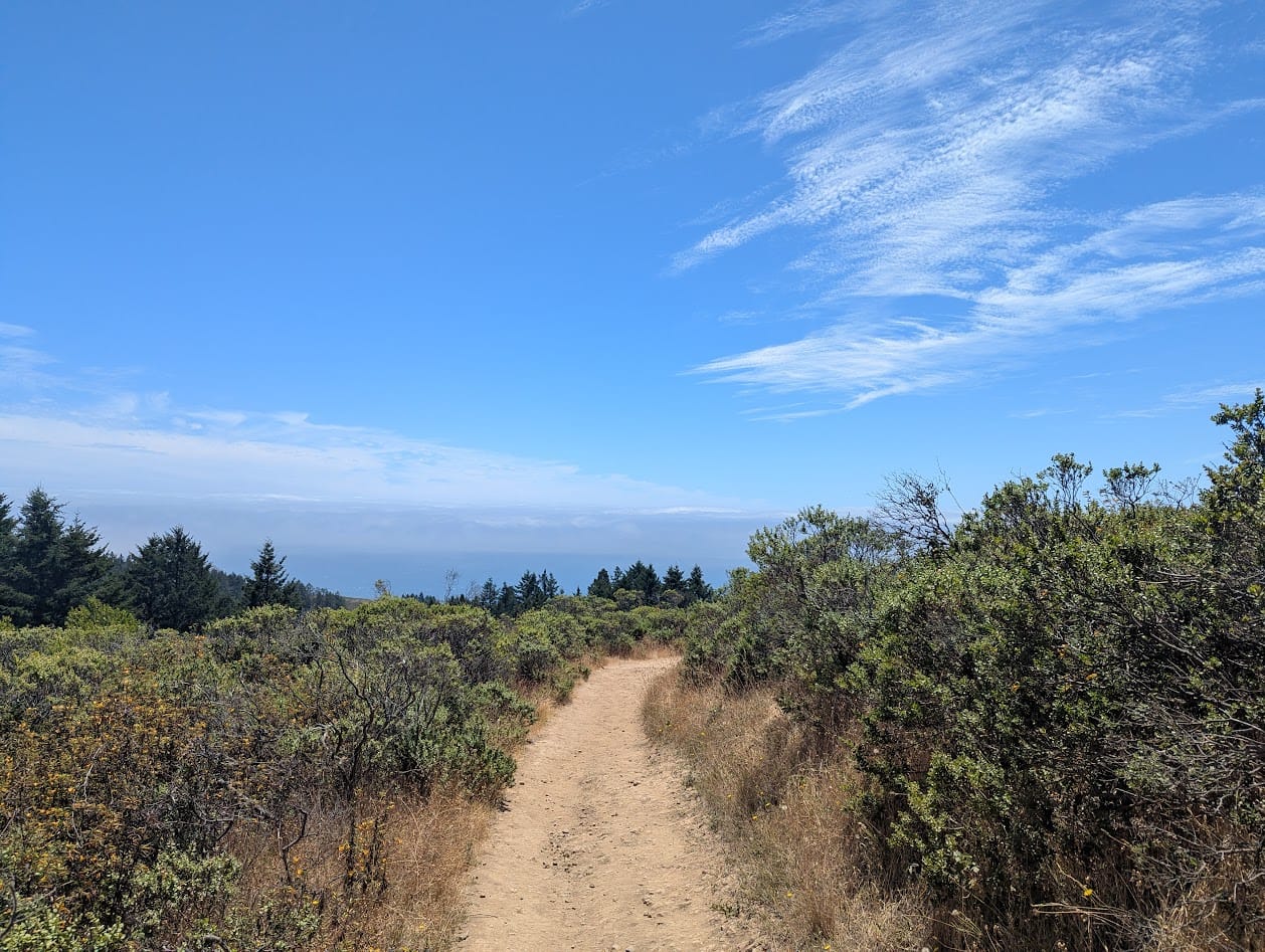
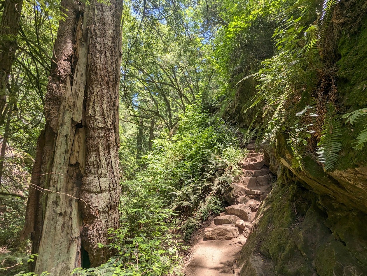
The first part of this loop starts out on the famed Dipsea Trail - If you can name only one trail in the Bay Area, chances are it's Dipsea. This trail is mostly associated with its million stairs climbing up through the forest, but this loop contains one of my favorite parts - the section where the trail pops out of the redwoods, into coastal scrub and manzanita forest, with sweeping views of a distant San Francisco and the ocean.
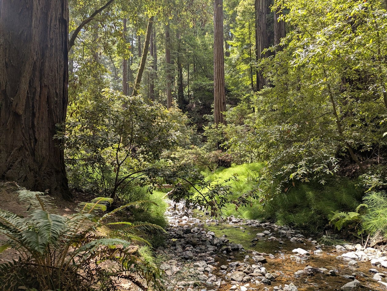
The loop then descends down part of said stairs, before turning onto Steep Ravine trail to climb back up the mountain. Steep Ravine is another favorite, known especially for the wooden ladder you have to climb to get over a massive rock. The steep slope of the terrain means you're surrounded by almost vertical walls of ferns.
ferns and trees, trees and ferns
cc: a pan from one side of a trail in the redwoods to the other, showing the steep terrain and excess of green
LOOP 4
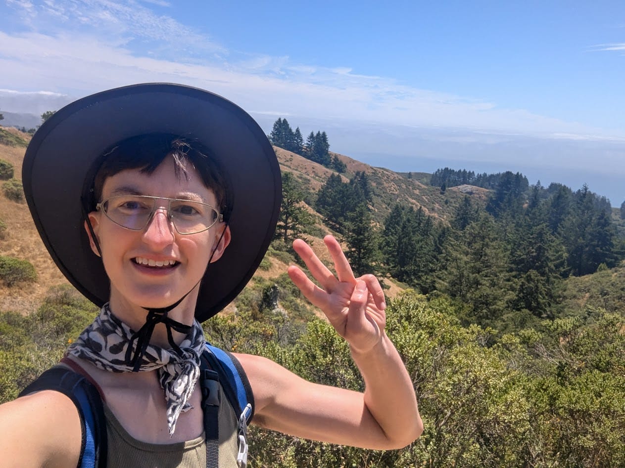
I somehow made it to the fourth loop before I was rotating the phrase "I'm never going hiking again" in my mind. The last few miles of a 20+ miler are rarely enjoyable. 14-16 miles is probably my sweet spot and yet...
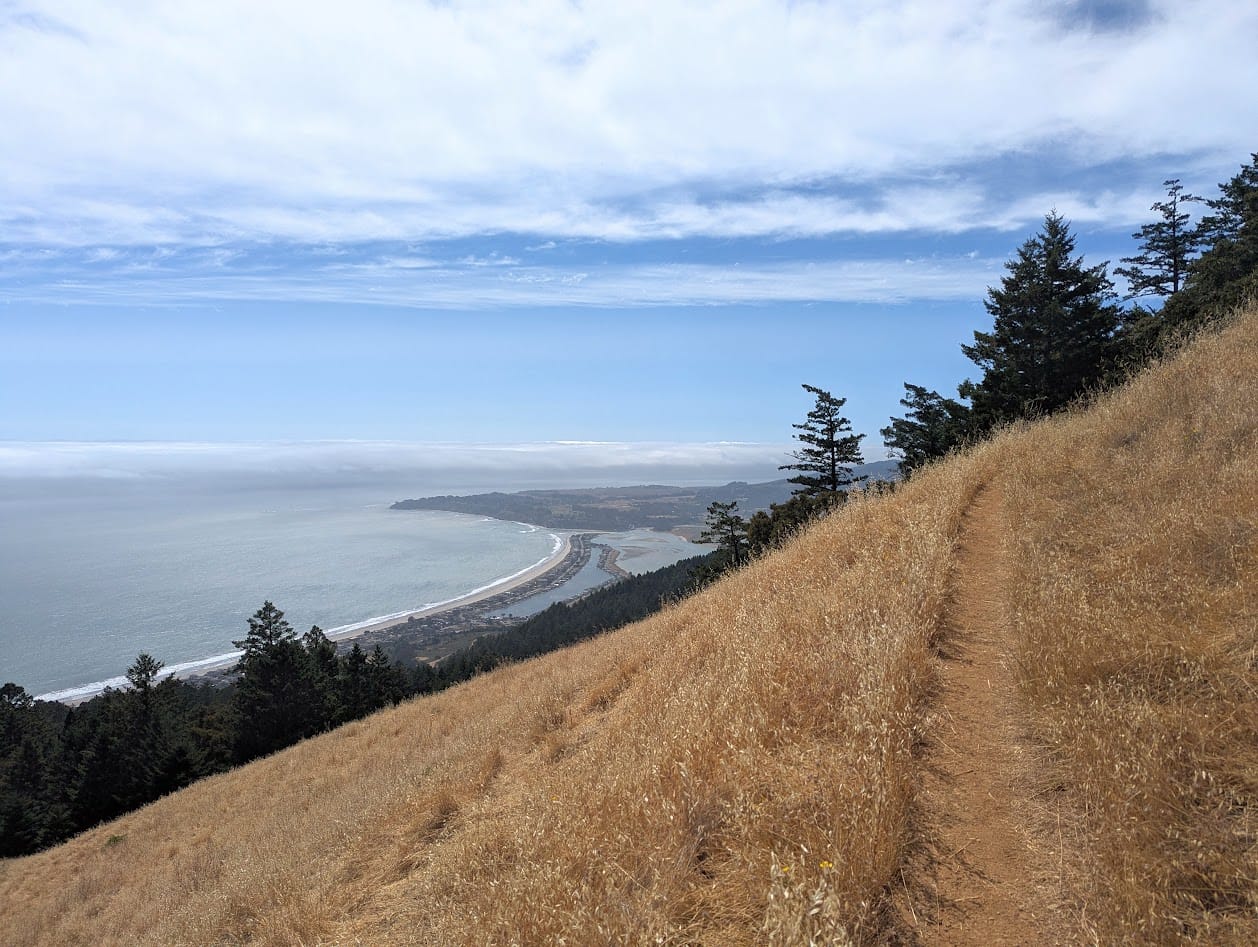
Luckily, half of this loop is a section of the Coastal Trail, along the Bolinas Ridge looking out over Stinson Beach. The trail is narrow single-track, hanging on for dear life to the edge of impossibly-shaped hills. It's one of my all-time favorite bits of trail, and changes so much depending on the weather and the season.
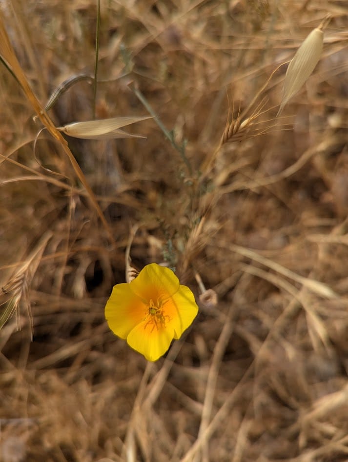
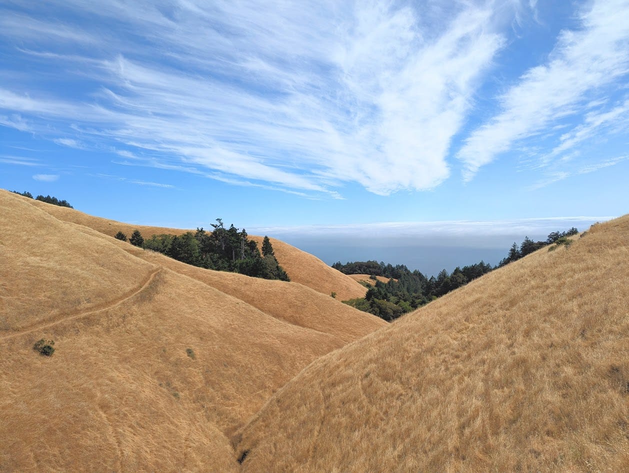
A late-season california poppy - the ones on exposed hillsides like this often grow smaller and lower to the ground, with yellow around the edges. The town of Stinson Beach in the next to last photo
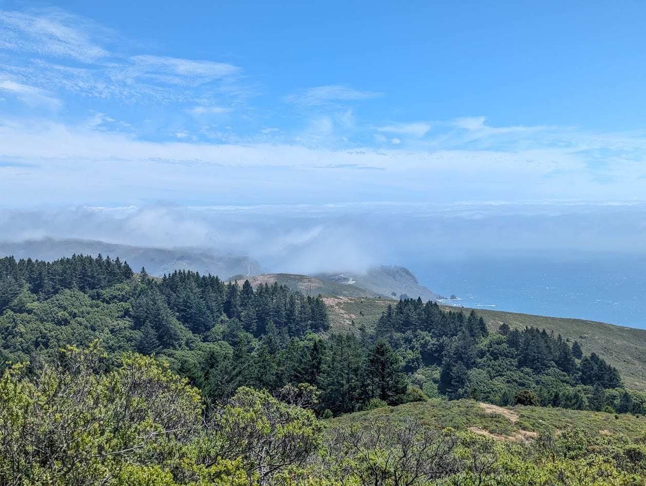
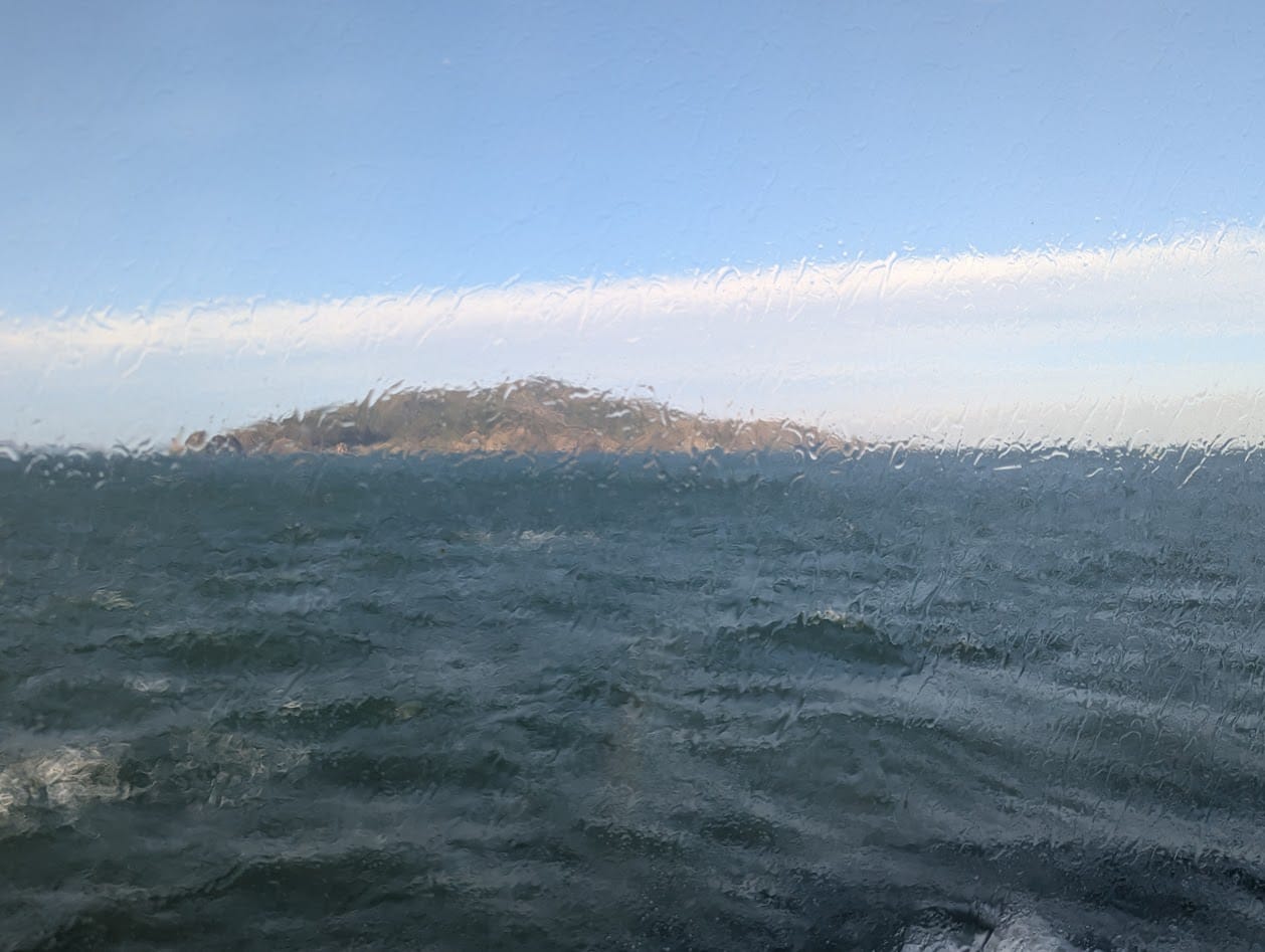
Eventually, the loop headed back into the woods, popping out briefly on the western peak of Mt Tam overlooking the bay and the ocean, before meandering back down the hill to Pantoll again.
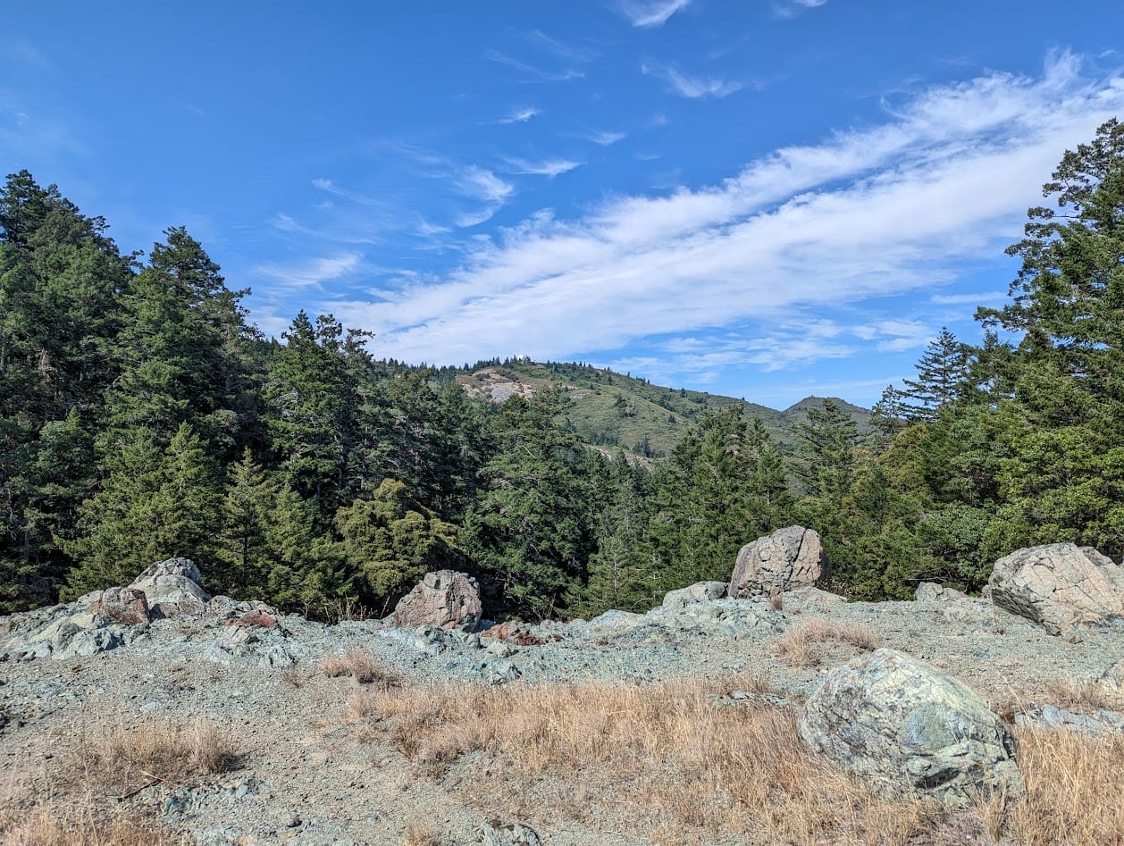
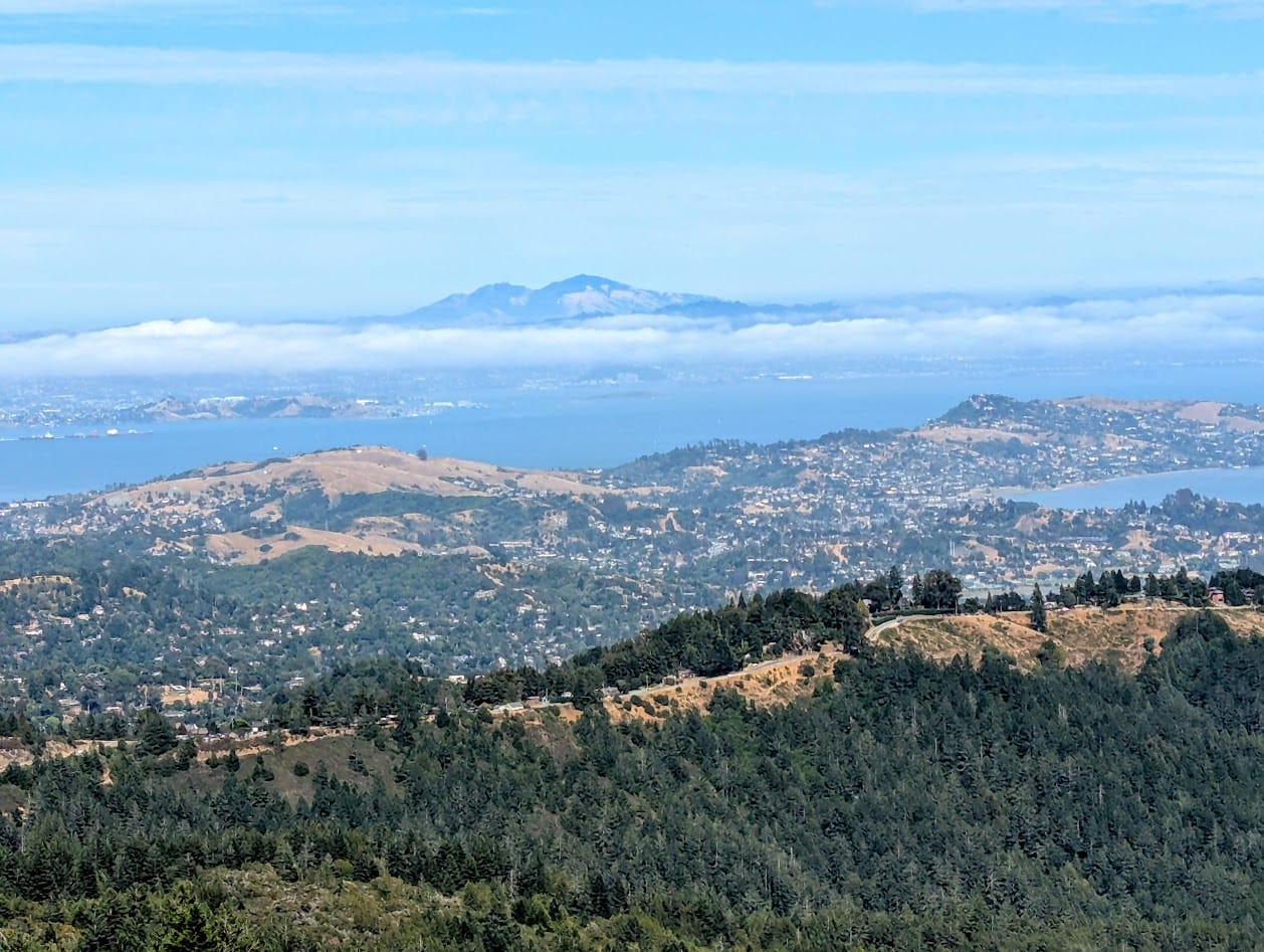
Cataract Creek, some serpentine rock, view of Marin and the East Bay, with Mt. Diablo in the background
Thoughts
I was excited about this route from the get-go; I've hiked just about every bit of it at least once, in many cases several times. I knew from seeing the routes on a map that I was basically going on a greatest hits of Mt Tam tour. Any of these 4 loops would be perfect if you had a friend in town and wanted to show them how fucking beautiful it is here. If you hate said friend: do all 4 loops in a day.
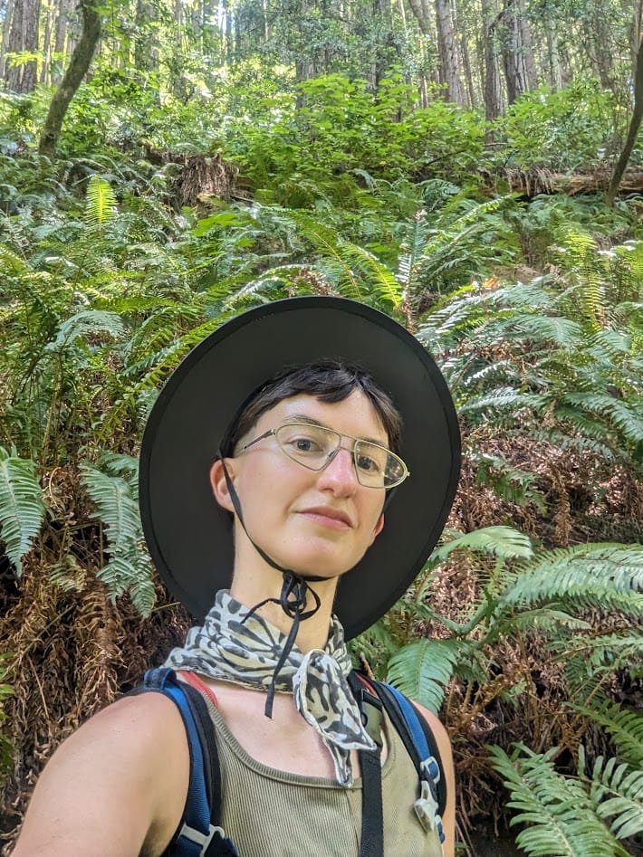
Scenery aside, I really enjoyed this route as a day hike. I'm one to skip rest breaks, put on sunscreen once, maybe twice for a full day's worth of exposure. I'm also very used to having to carry extra water, because I often venture out far from any kind of infrastructure.
The fact that every loop starts and ends at Pantoll Campground meant that I developed a nice rhythm: hike a few miles, come back, take my boots off for a bit, put on sunscreen, have a snack, fill up my bottle.
I ended up sitting in just about the same spot for each break, right near the busy visitor center. Ditto for my first attempt a couple weeks ago. I love the idea that I might've confused the hell out of some park staff member, appearing as some kind of glitch in the matrix, respawning at the same point every couple hours like a video game character.
Trail Running?
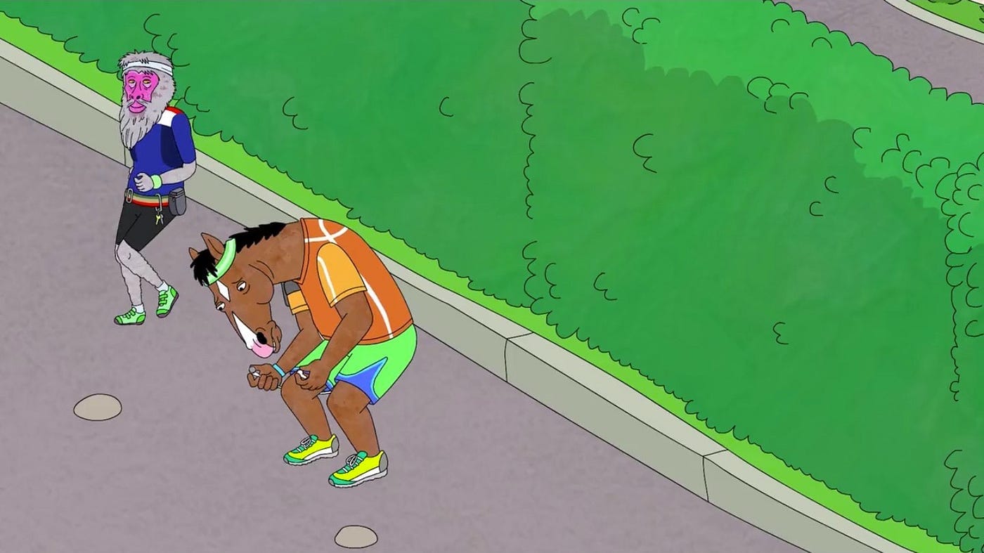
Here's another thing: I ended up running quite a bit of it (when I say running, picture the jogging baboon from Bojack Horseman. And at times, jogging Bojack Horseman from Bojack Horseman). I never set out to become a trail runner; as I started doing extra long routes I would sometimes be like "ok this is taking too forever, I'm gonna run a bit." Combine that with the fact that sometimes running means the difference in catching one bus, or catching the next bus in 3 hours, and eventually you find yourself able to run a few miles without too much effort.
I ended up running probably 5-6 miles of the route in total, at least. When the trail's not crowded, I actually quite enjoy it. Nothing makes me feel more like a Creature than running over terrain in the forest, jumping over logs, dodging branches.
Even with all the running, I still *barely* caught the last bus home.
Taking medical advice from strangers
Oh also, at one point I yelled a string of unholy words into the redwoods, feeling a pinching pain on the front of my ankle. A wasp or yellow jacket had become stuck under the tongue of my boots (how??) and stung me through my wool socks.
A nice woman who passed by told me to put mud on it, which is supposed to dry out the sting and make it hurt less. This probably isn't science, but I poured a little water on the ground and put a little poultice of mud on it anyway. Placebo or not, it did eventually stop hurting!
One of my silly background fears as a solo outdoorsperson is that I'll get stung or bitten by something I don't know I'm allergic to. Well, at least now I know I'm either not allergic to wasps or not allergic to yellow jackets. Helpful!
The end
The ferry ended up being my best route home, schedule-wise. I had to kill some time before my bus home from SF, and ate probably the second most satisfying frozen yogurt I've ever had (first being the swirl cone I had in Death Valley on a 127° day)

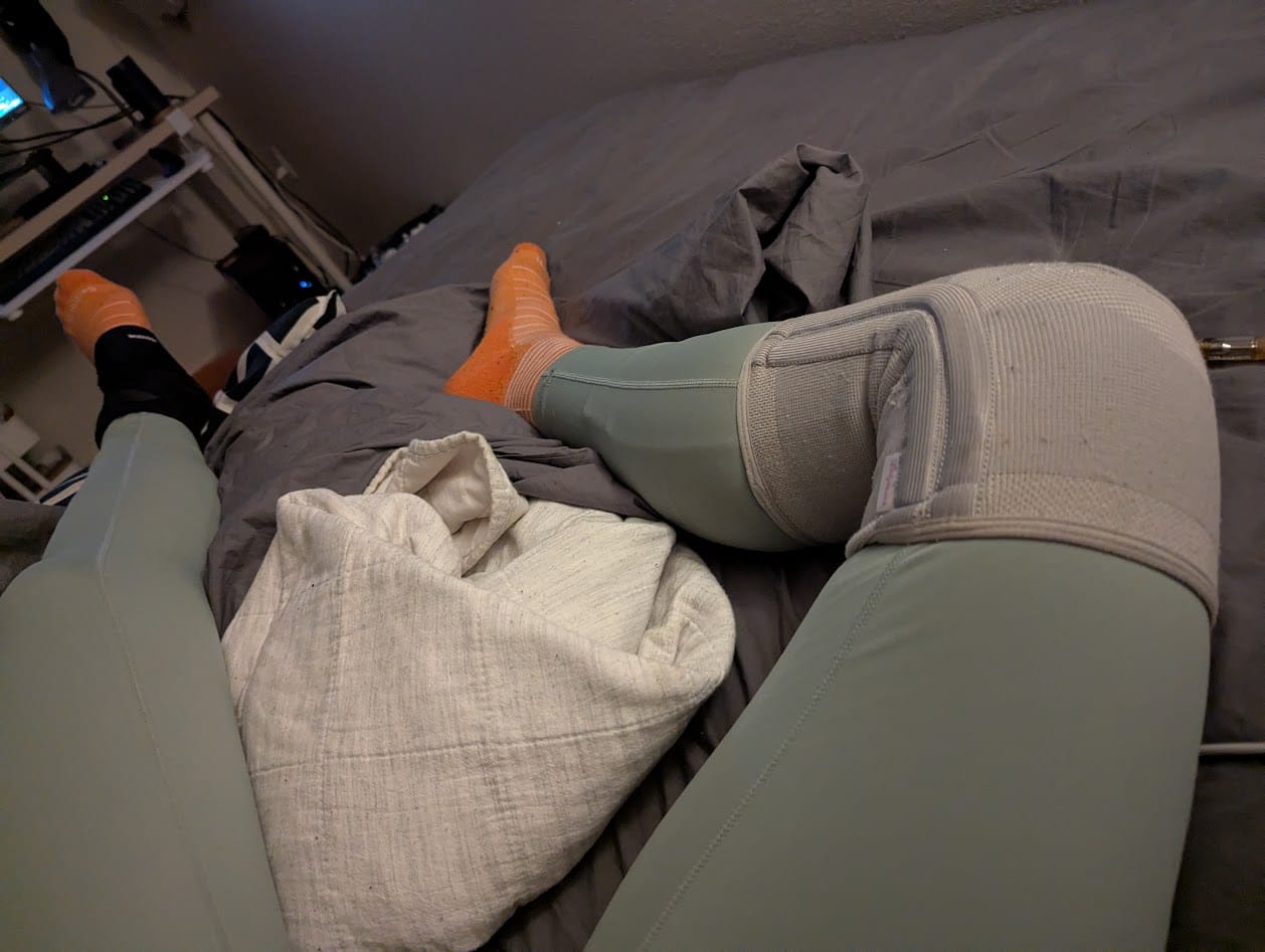
ferry ride, fleur de sel & dulce de leche swirl cone, suffering at home later with compression socks, knee brace, and ankle brace
Post script
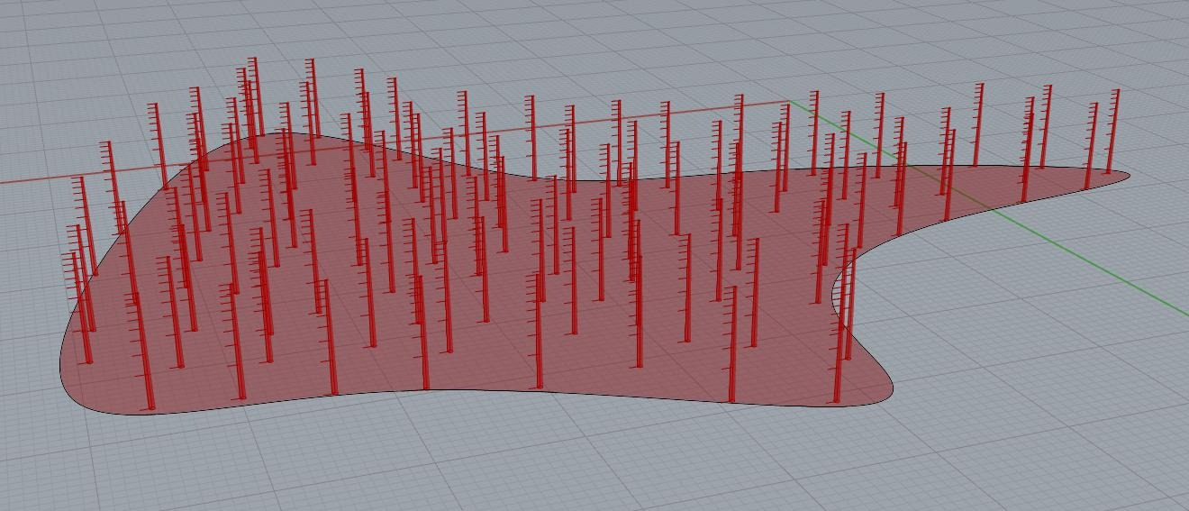
I am like 2 weeks late posting this, because I hyperfixated on procedurally generating horsetails in Rhino + Grasshopper to use in my cover image. Maybe I'll do a post about that process later!