Hikepost_005 - Hiking 22 Miles To Look At Weird Mud
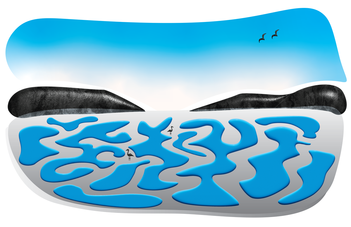

Why did I hike 22 miles to look at weird mud?
I'm coming up on 2 years of going outside (almost) every single Thursday, and in that time I've accidentally built up quite a bit of endurance, to the extent that anything less than 12 miles doesn't feel like a "real" hike to me anymore. After hiking virtually all the trails in more easily transit-accessible areas, I started venturing out further to lesser-loved trails in further-flung locations.
Looking at maps to find places I hadn't been before, that I could get to by transit, became kind of a hobby unto itself. And the more I looked at maps and went outside, the more I could start to imagine what a place would look like just by looking at a topo or satellite map. Which then led to finding interesting looking places just by looking for anomalies on the map.
One area that I became fixated on was the Drake's Estero area of Point Reyes, where it looks like the point is trying to tear itself apart from the rest of the continent. (Actually, Point Reyes is on a separate continental plate from the rest of the state.)


I'd spent quite a bit of time on Point Reyes, including many long, meandering day hikes and one overnight backpacking trip that still feels a bit like a hallucination. Point Reyes feels Big and more wild than almost anywhere else in the Bay. Some specific points of interest have crowds, but in the vast expanse of the interior? I've gone an entire day without running into another person.
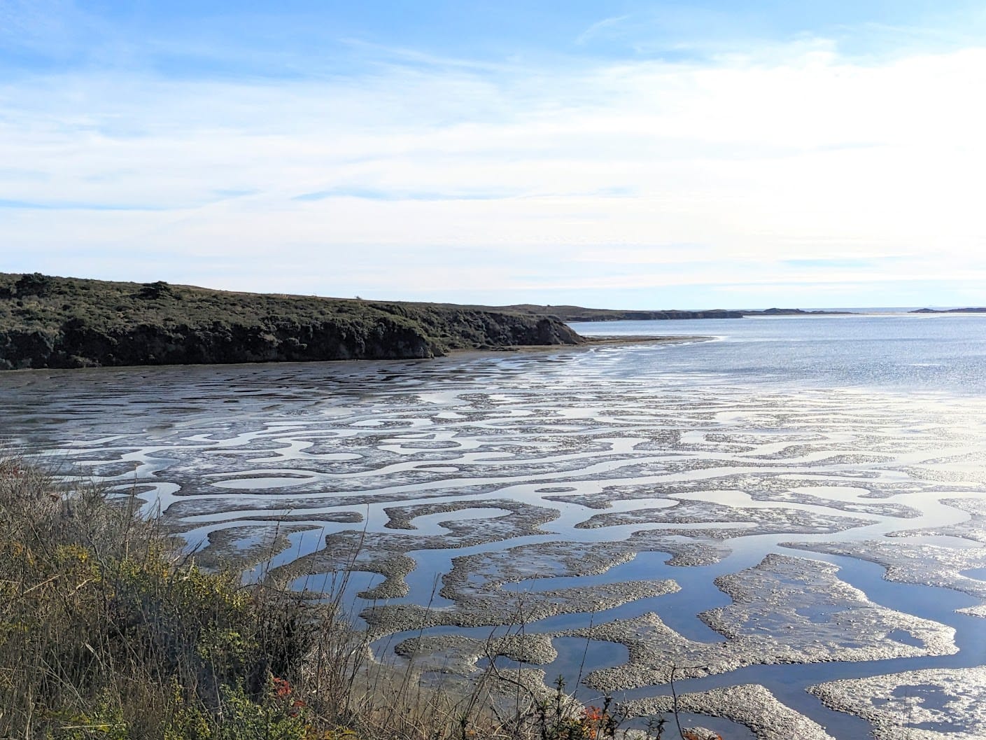
This estuarine area, while relatively easily accessible by car (as accessible as anything way the hell out on Point Reyes can be), was tantalizingly just out of reach of my distance capabilities at the time. I looked at photos from some of the trails on Alltrails and saw a completely surreal landscape of the source of an estuary at low tide, with exposed mud forming fractal-like patterns. Beautiful squiggly lines and wetlands go hand in hand but I had never seen anything that looked quite like this before. I became obsessed for like a year.
Fast forward to this year - I eventually realized that wait, I've done at least 4-5 20+ mile hikes now, the big scary hike is now fully achievable!
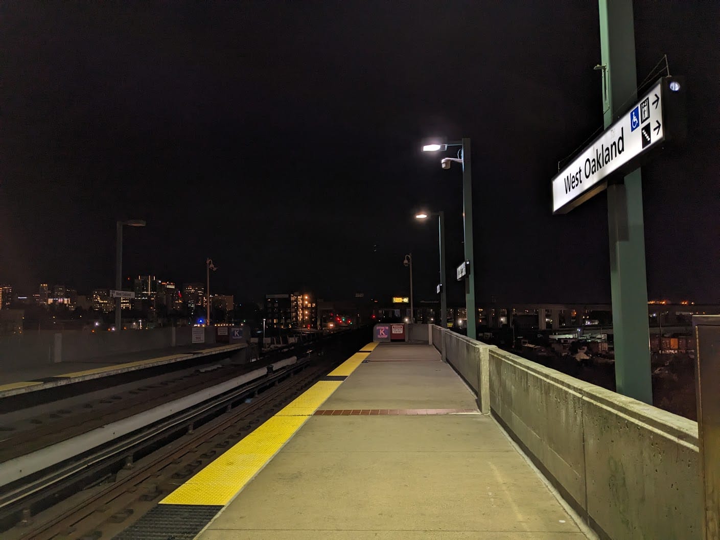
So, it was that time again, time to go worm mode (leave at 5 am to take a train and 2 buses 3.5 hours each way)

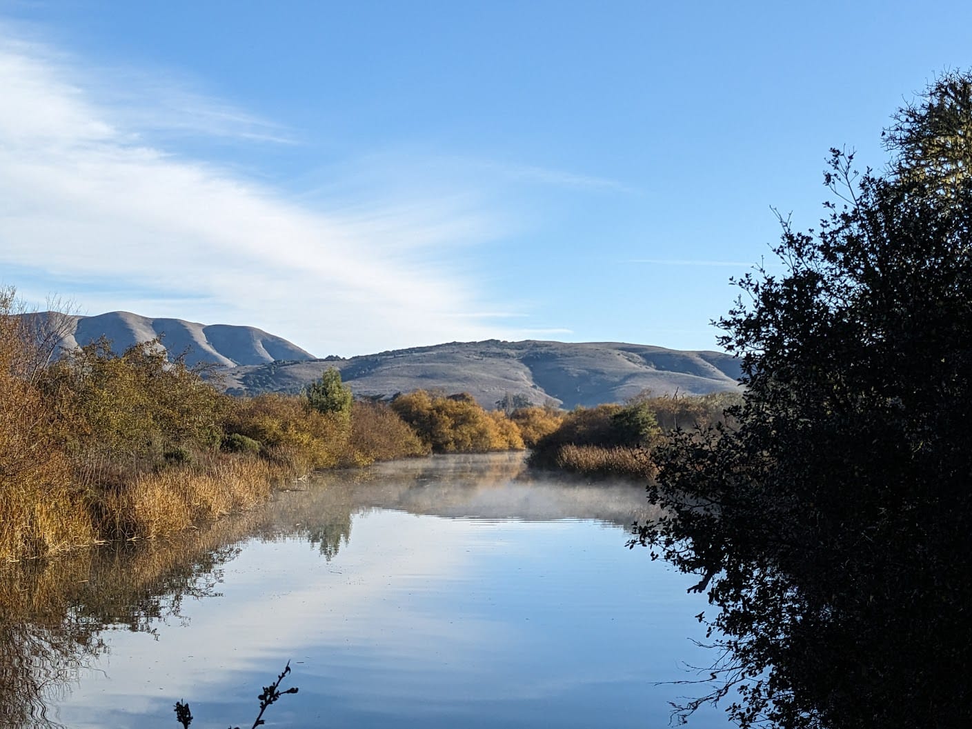
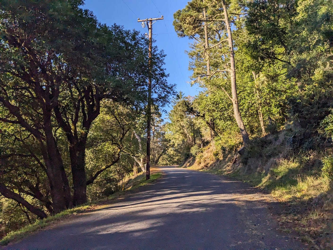
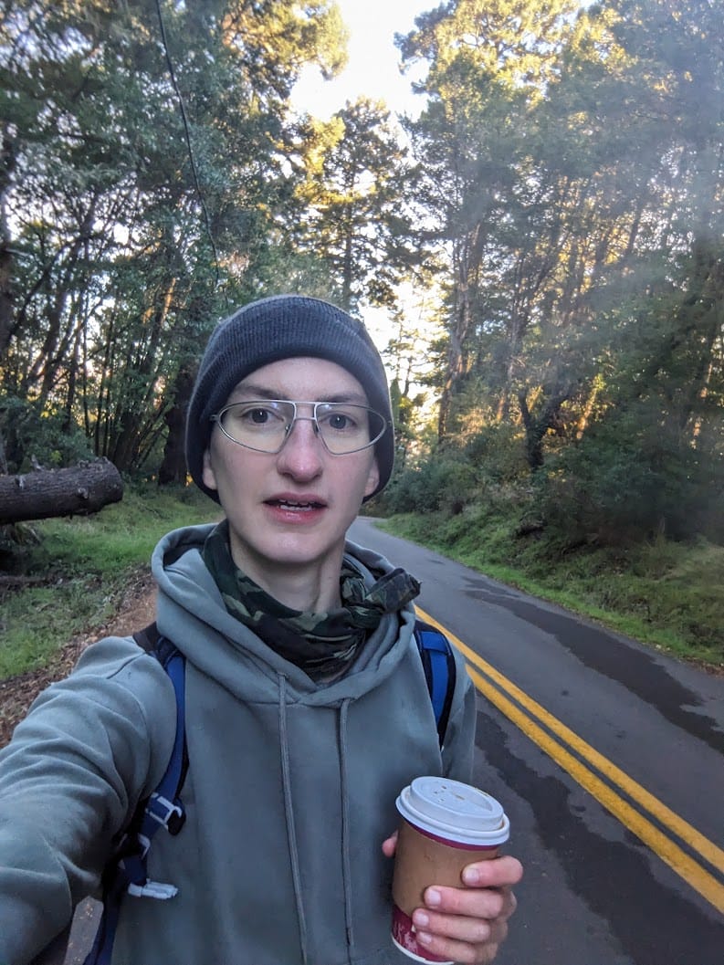
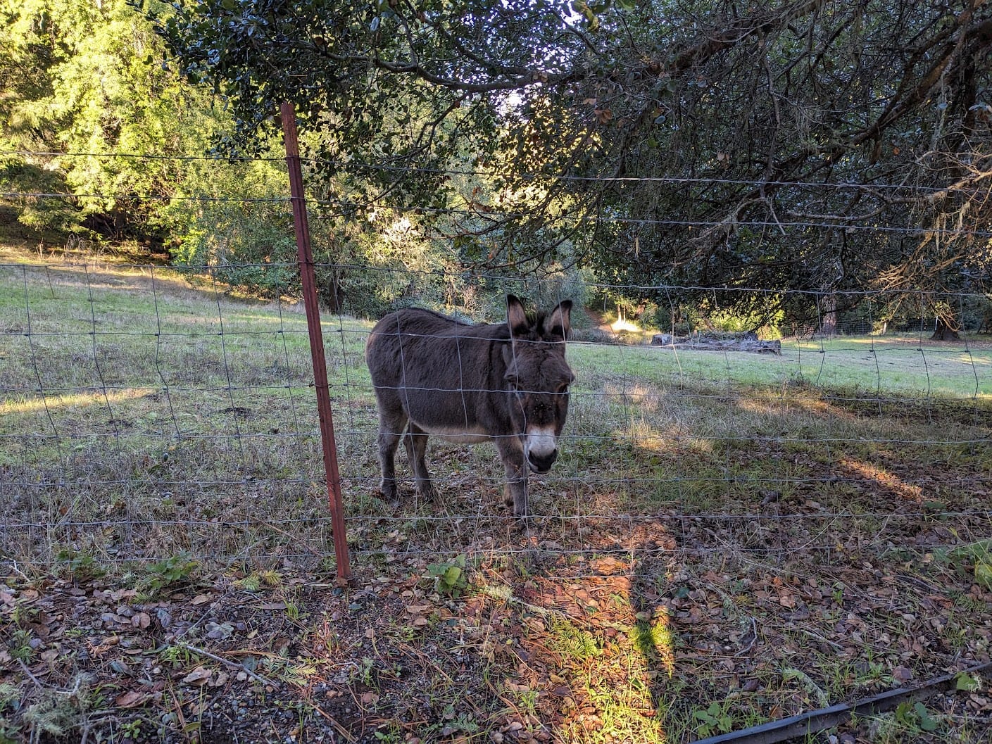
I have done 90% of this hike so, so many times before, I basically barely have to look at my map anymore, but I am still not tired of it. Nowhere else looks exactly like this.
I am obsessed with this beautiful dead tree, and get legitimately excited to go visit it like an old friend.
Also the clouds were doing cool things all day.
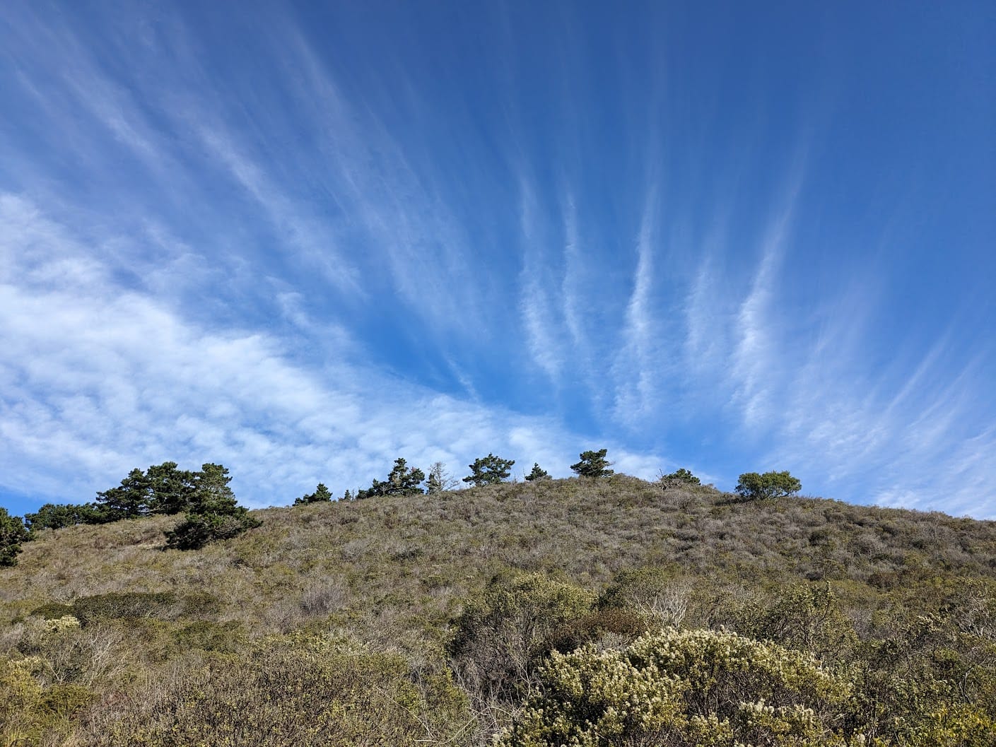
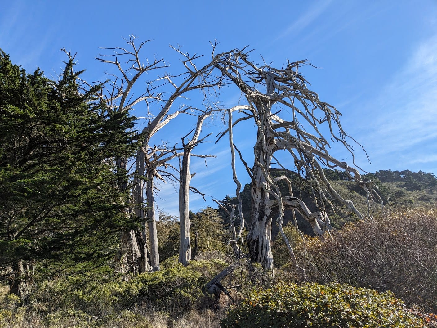
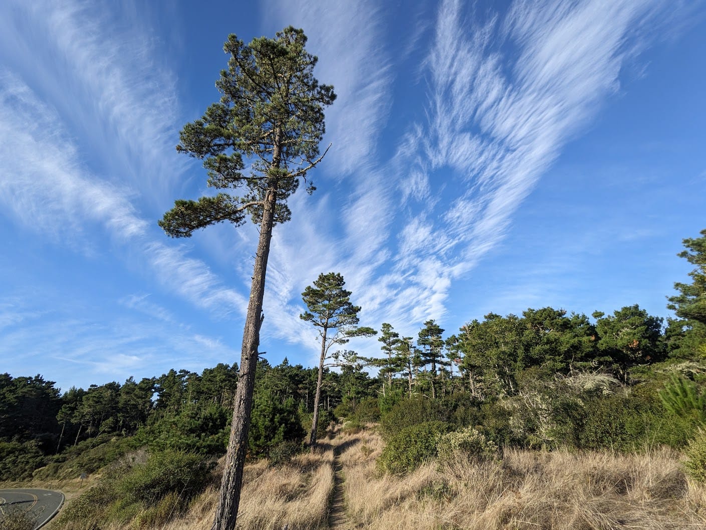
The hike out to the end of Drake's Head, the one part that was new to me, was kind of just a boring flat trek out by a cow pasture. I was kind of grumpy about suddenly finding myself in farmland after miles and miles of vast, rugged landscape.
But then the ranch faded into the distance and I came up over a little bit of a hill, and got my first view down into the estuary along the right edge of Drake's Head. A little further up, I could begin to see the ocean.
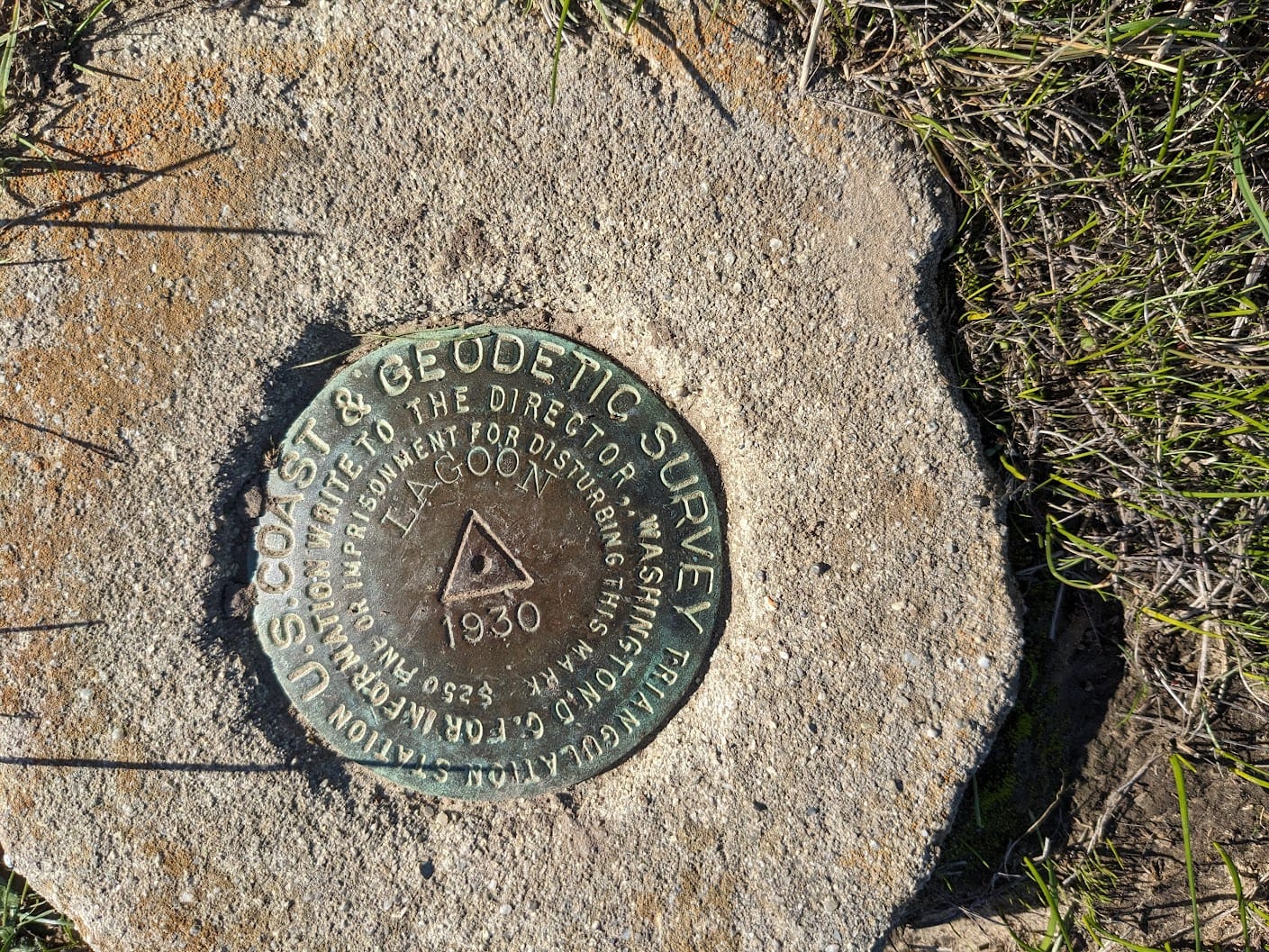
For Thanksgiving the day before we'd done a big spread of charcuterie, so I enjoyed a leftover cheese plate at the end of Drake's Head/at the edge of the world/at this geodetic survey marker from 1930
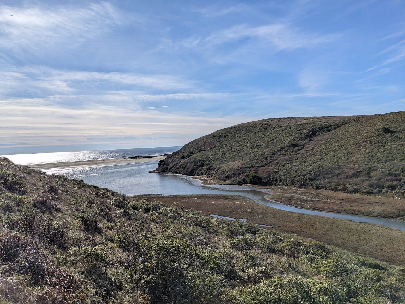
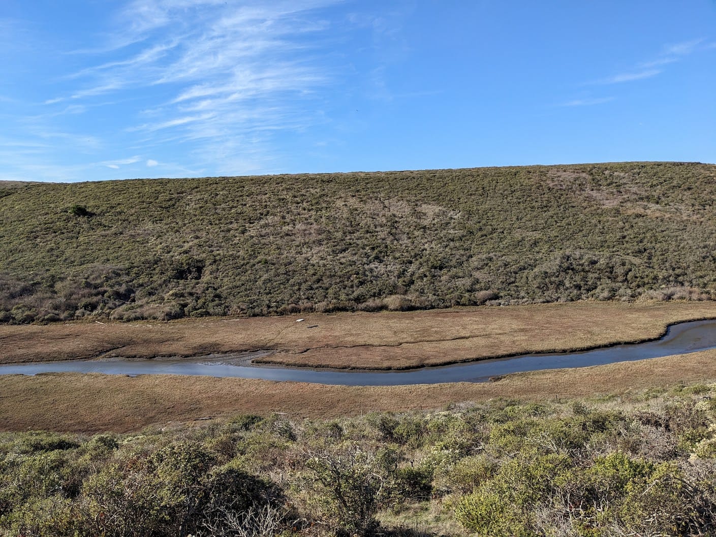
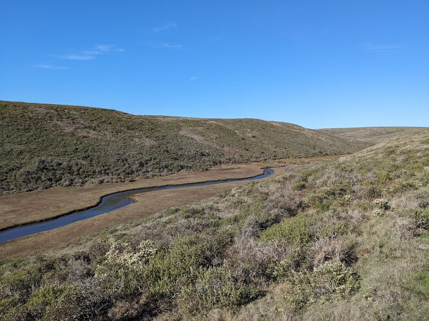
Little inlet on the west side of Drake's Head
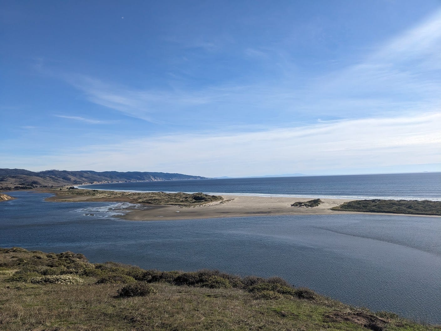
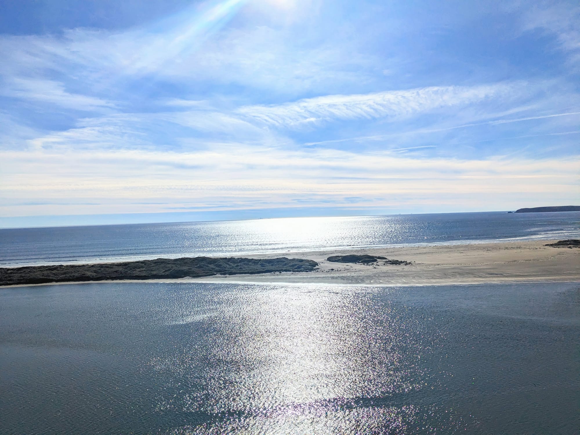
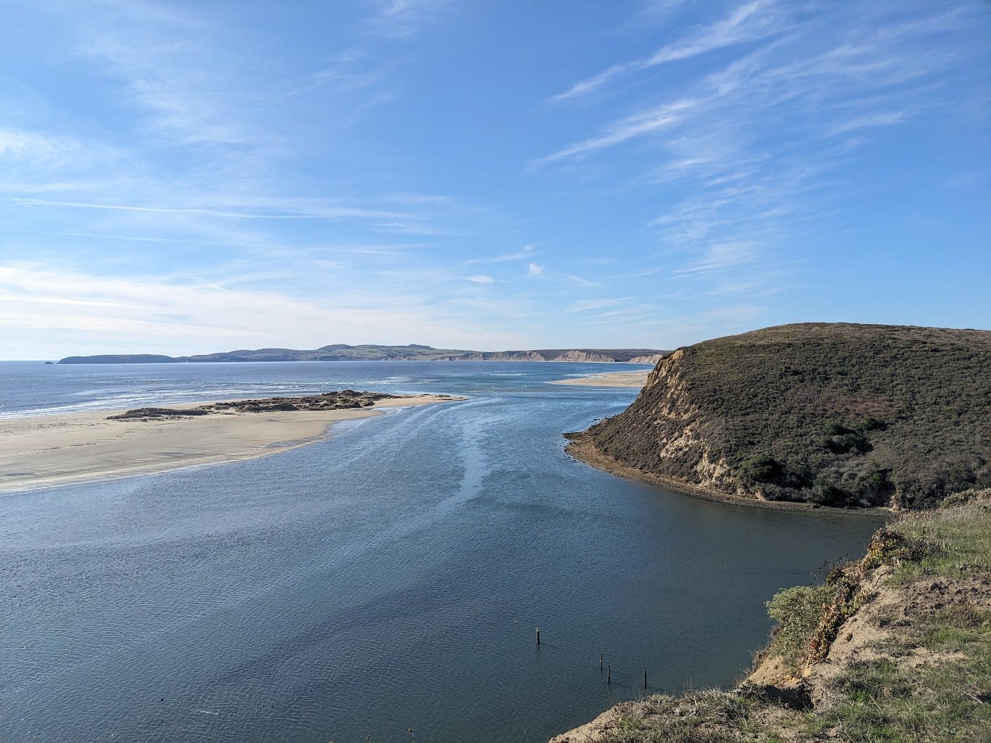
Standing on the end of Drake's Head looking out over Estero de Limantour, and Limantour Beach (and the entire Pacific Ocean)
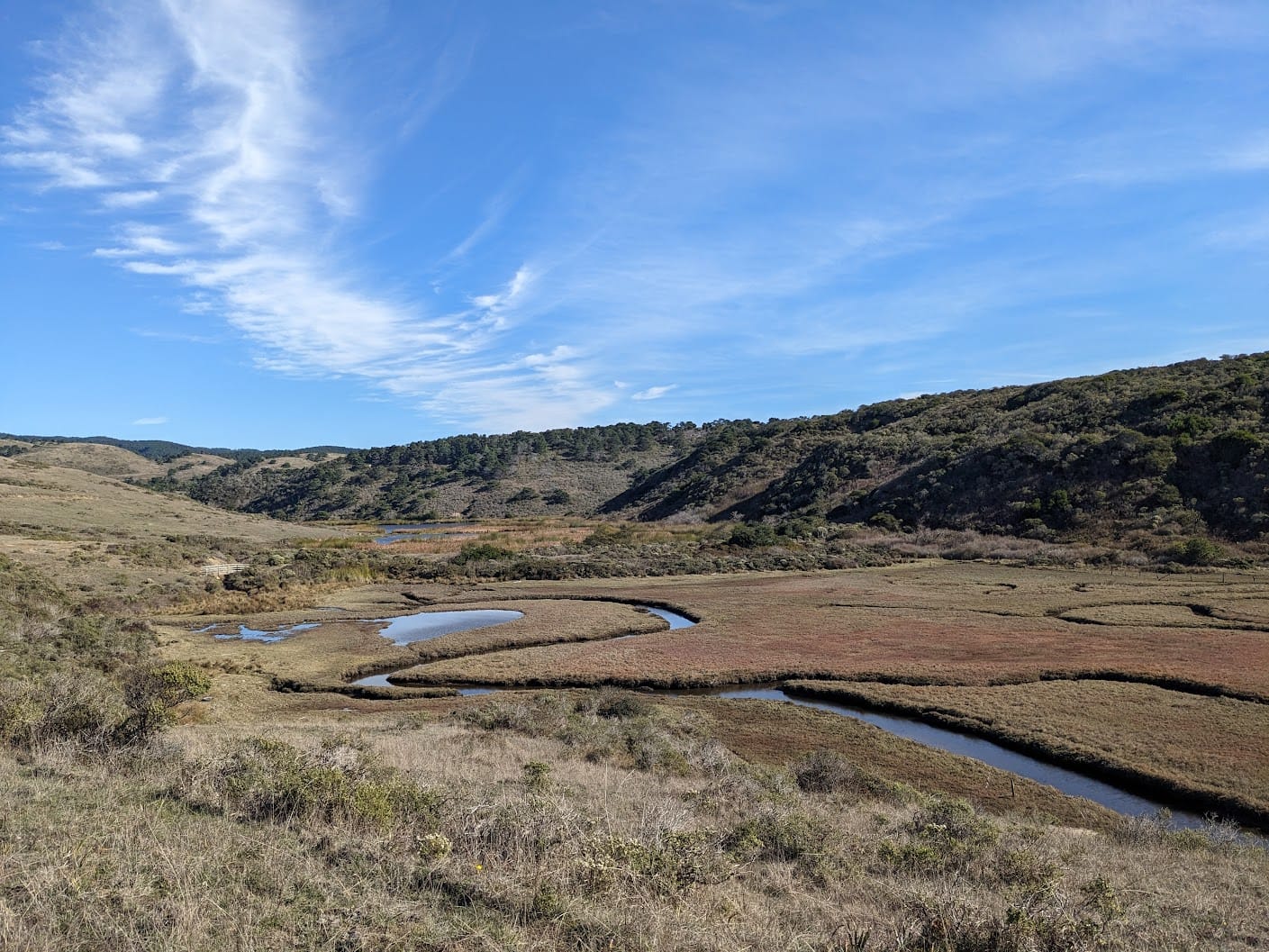
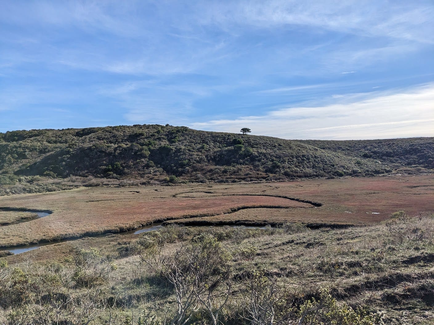
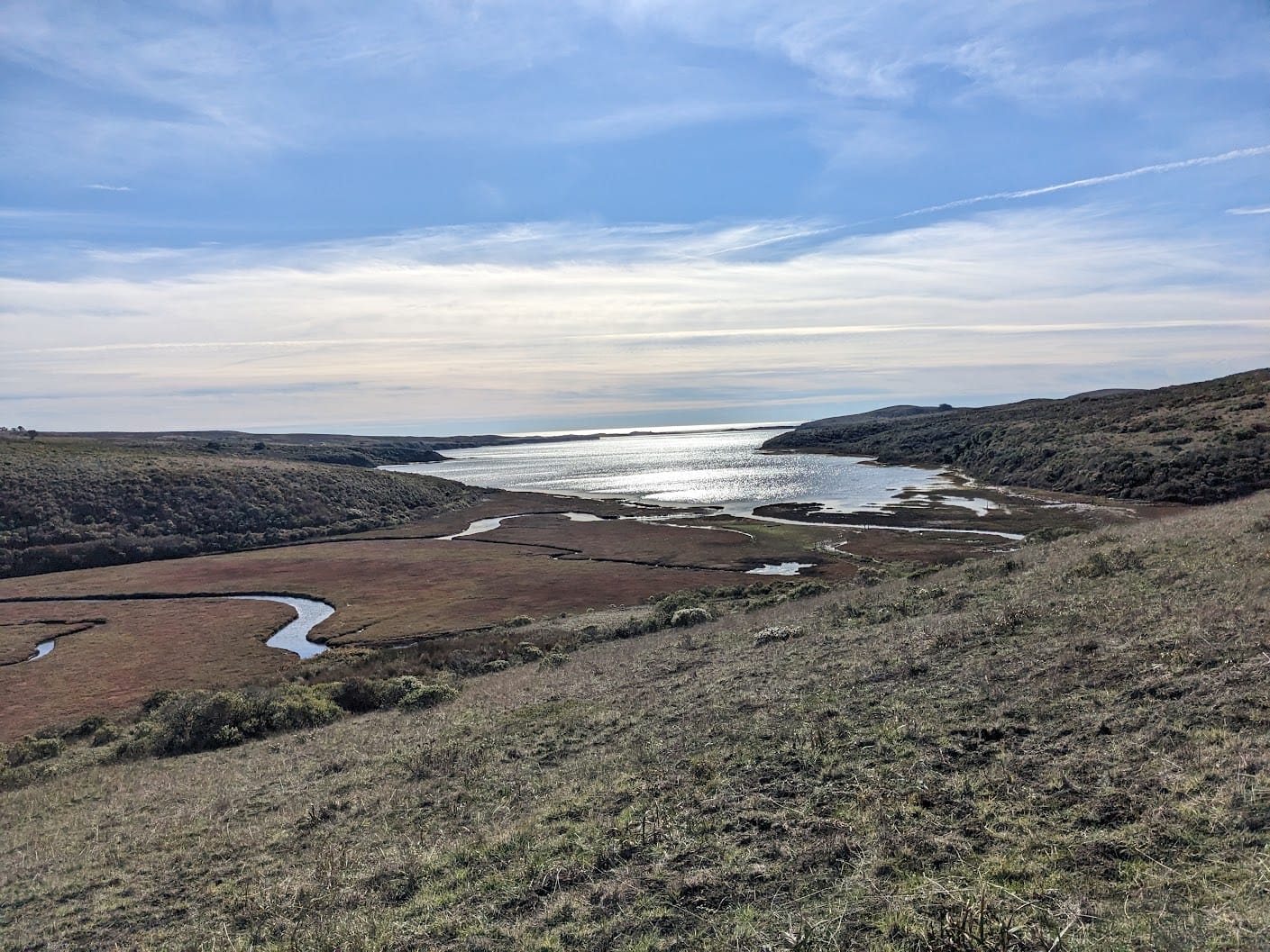
Marshy area feeding into Estero de Limantour. The Weird Mud Zone happens in the area in the third photo, when the tide goes out.
The weird mud that was so surreal looking I ran like 2-3 miles to catch my bus
After my cheese lunch I backtracked to the start of Drake's Head, this time heading east to the source of Estero de Limantour. The tide was receding, revealing the fractal-like surface underneath. The water reflected the blue from the sky, and the mud almost looked metallic in the light. It was one of the wildest things I'd ever seen (and my photos all look like shit because there was a bit of pollution-y haze in the distance that confused the hell out of my phone's camera). I didn't want to leave.
However. There's a big gap in the Inverness bus schedule between 4pm and 7pm. I knew if I stood here and stared at this scene long enough, I'd miss the 4 pm and be sitting at the bus stop in the cold for a couple of hours. I did it anyway.
I ended up cutting it so close that I ran the last 2-3 miles of the total 22, making it to the bus stop with a few minutes to spare. This isn't the first time I have done this. Hiking in Inverness has inadvertently turned me into an occasional trail runner.
I'll stop taking 7 hour round trip transit odysseys to Point Reyes when Point Reyes stops surprising me with completely made up looking landscapes the likes of which I've never seen before.
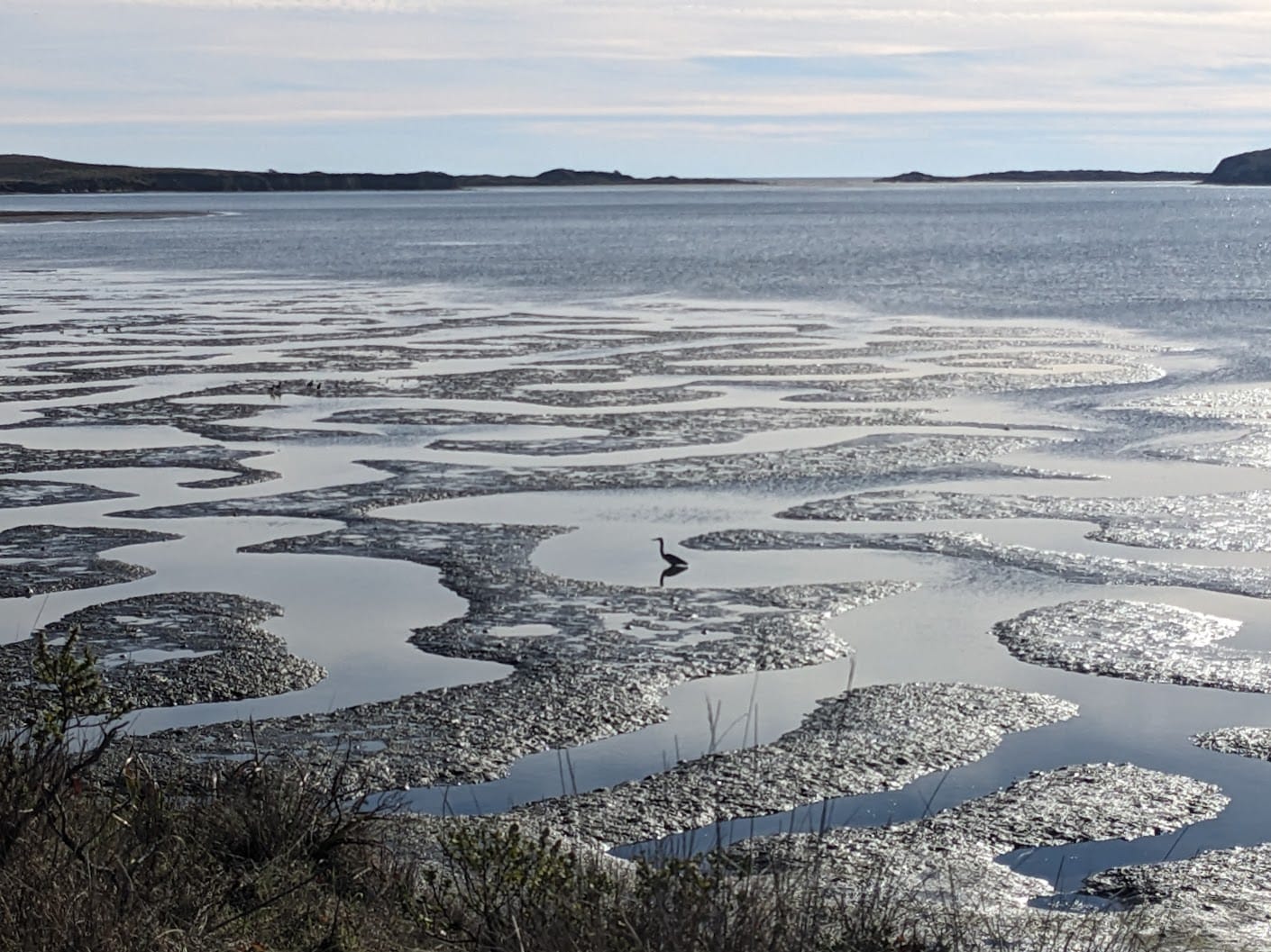
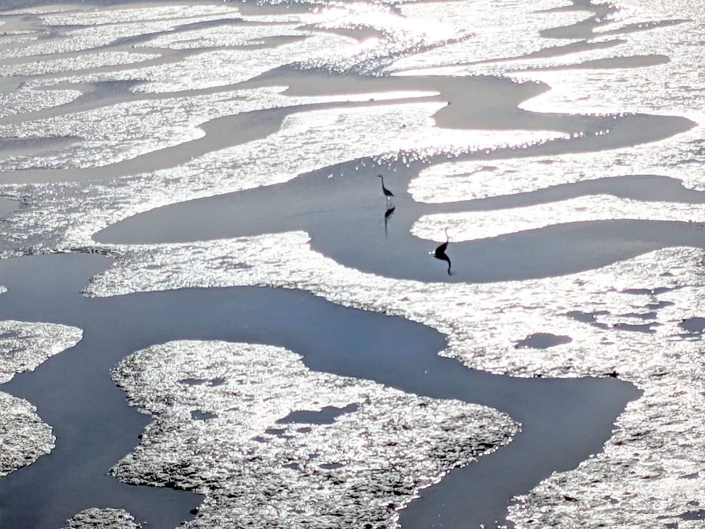
At one point I was watching all these birds wade around and realized this surreal mudscape appears every single day, every time the tide goes out
Every few mintues these little birds would all take off and fly around in a murmuration, before landing again


