Hikepost 003 - Following Google Maps' Weird Suggestions and Ending Up In T̶h̶e̶ A Cloud
I didn't want to go hiking this week. Freelancing is using up 110% of my brain capacity, and I just didn't have time to plan anything. However, I make a very strong effort to keep to my Hiking Thursdays, so I decided to take the almost 3 hour trek to Lagunitas and Samuel P Taylor State Park. I've been wanting to check out some of the peaks on the north side of this stretch of Sir Francis Drake, so I picked out a route I'd plotted a few weeks ago and headed out.
West Marin is way out there, like waaaay out there. I am out "in nature" every week, but West Marin is one of the few places around here that feels truly rural. (Sorry, dudes in the East Bay suburbs with giant ass trucks, you don't count.) There's two lane roads, cow fields, one general store towns, and a lot of unpopular trails that don't really go anywhere - my favorite!
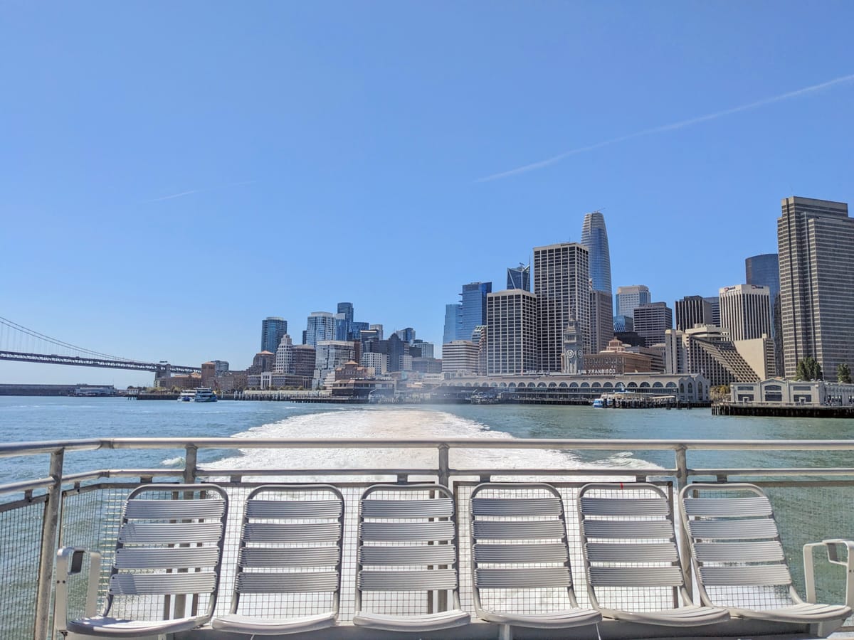
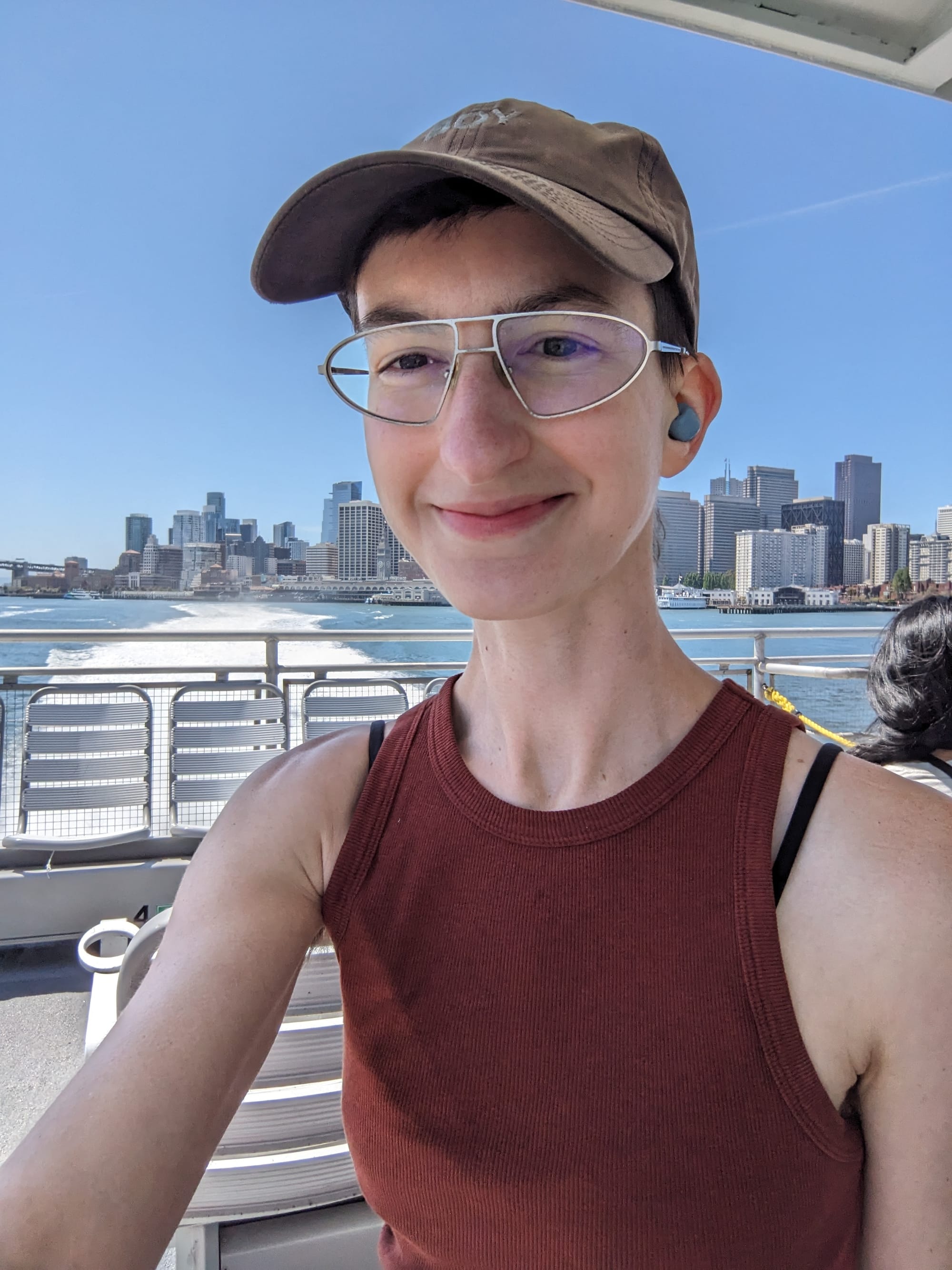
It also takes fucking forever to get to if you don't have a car (and isn't a quick drive either). Often Google Maps will suggest a route that no human would actually choose (Take a bus to another bus to a Greyhound station! Take the Greyhound 1 stop! Board Caltrain-). This week, I just decided instead of fighting Maps to try to find a more sane route, I'd just follow its goofy suggestions. So it was a quick bus'n'a'train to San Francisco, then off to the ferry terminal. I got on the ferry to Larkspur, then ran to catch Maps's's next selection: 1 stop on the SMART train. The SMART line goes up north to wine country, but I was only going to take it as far as the next town north.
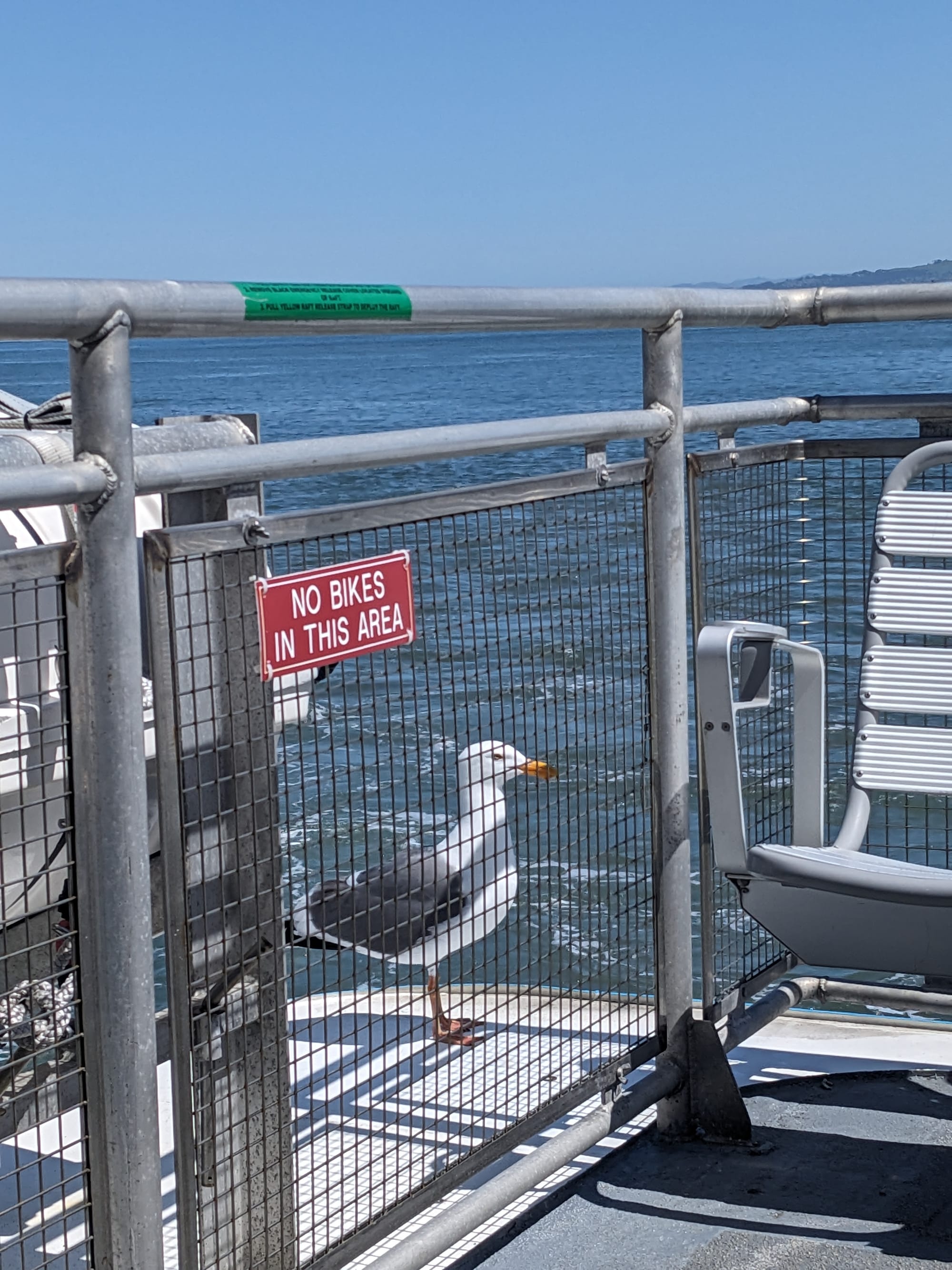
The seagull stayed on the ferry for a minute or two after we left SF. He is commuting to work!
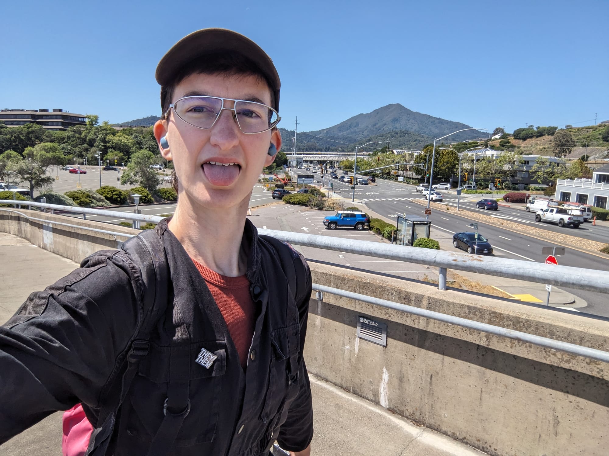
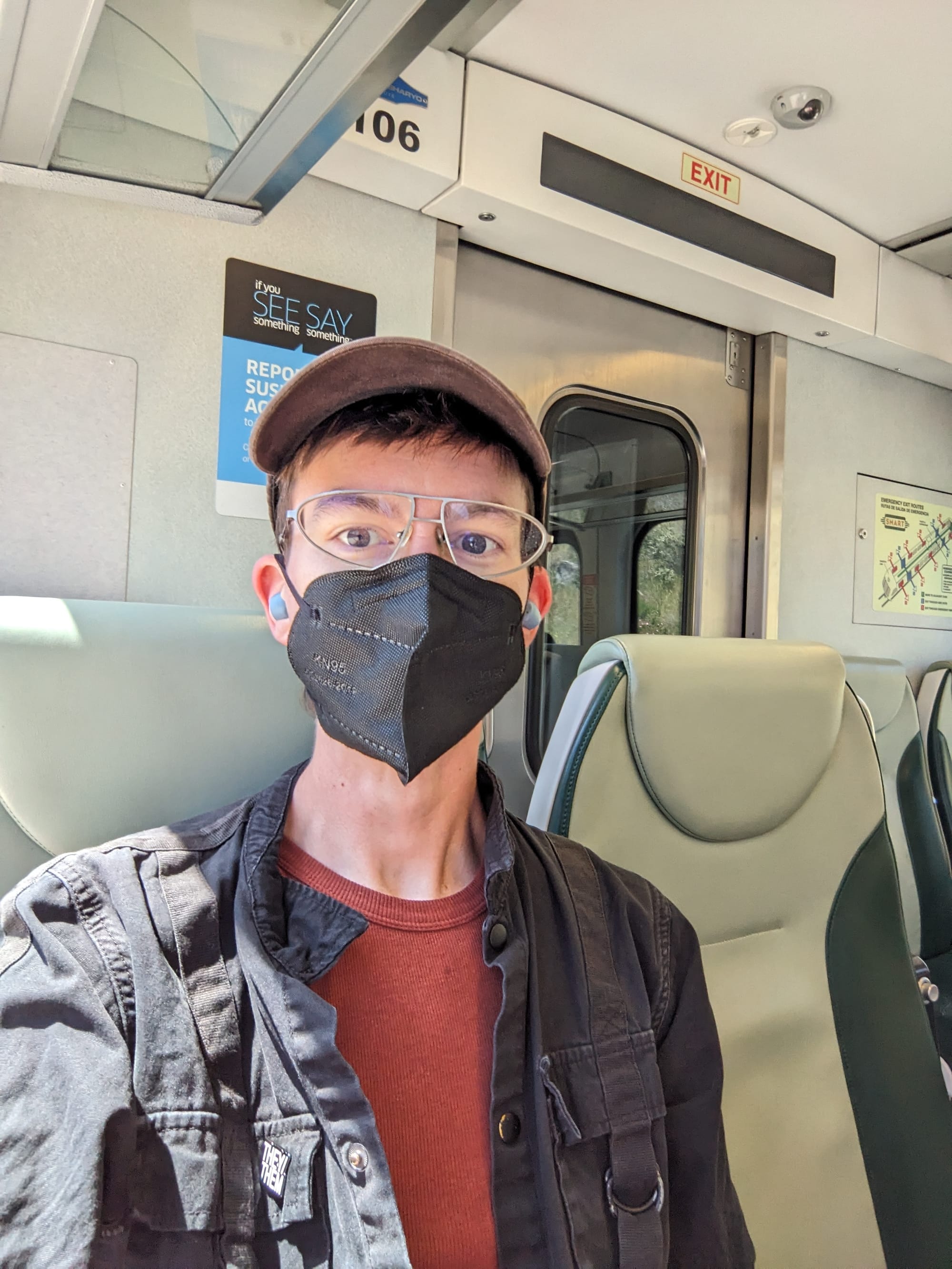
Paying $7.50 to go one stop on the train, that's not very SMART of me! (Jokes aside, I'd love to take this train up to Napa or somewhere someday)
Then I arrived at the San Rafael Transit center, where I caught a final bus to Lagunitas. (Remind me to do a whole post about the West Marin buses sometime)
Oh also here's one of my many favorite Marin County Business Names. <Thing>: <A Different Thing> is an incredible naming convention.

Ok the actual hiking part. First up, the classic Hiking Some Distance In West Marin tradition: walking about a quarter mile or so down Sir Francis Drake. Then, some pointless elevation gain on boring county trails, some fun bridges across Lagunitas Creek, and a quick visit to the Leo T Cronin Fish Viewing Area, another of my favorite Marin County location names. After all that: another climb up to the Bolinas Ridge Trail.
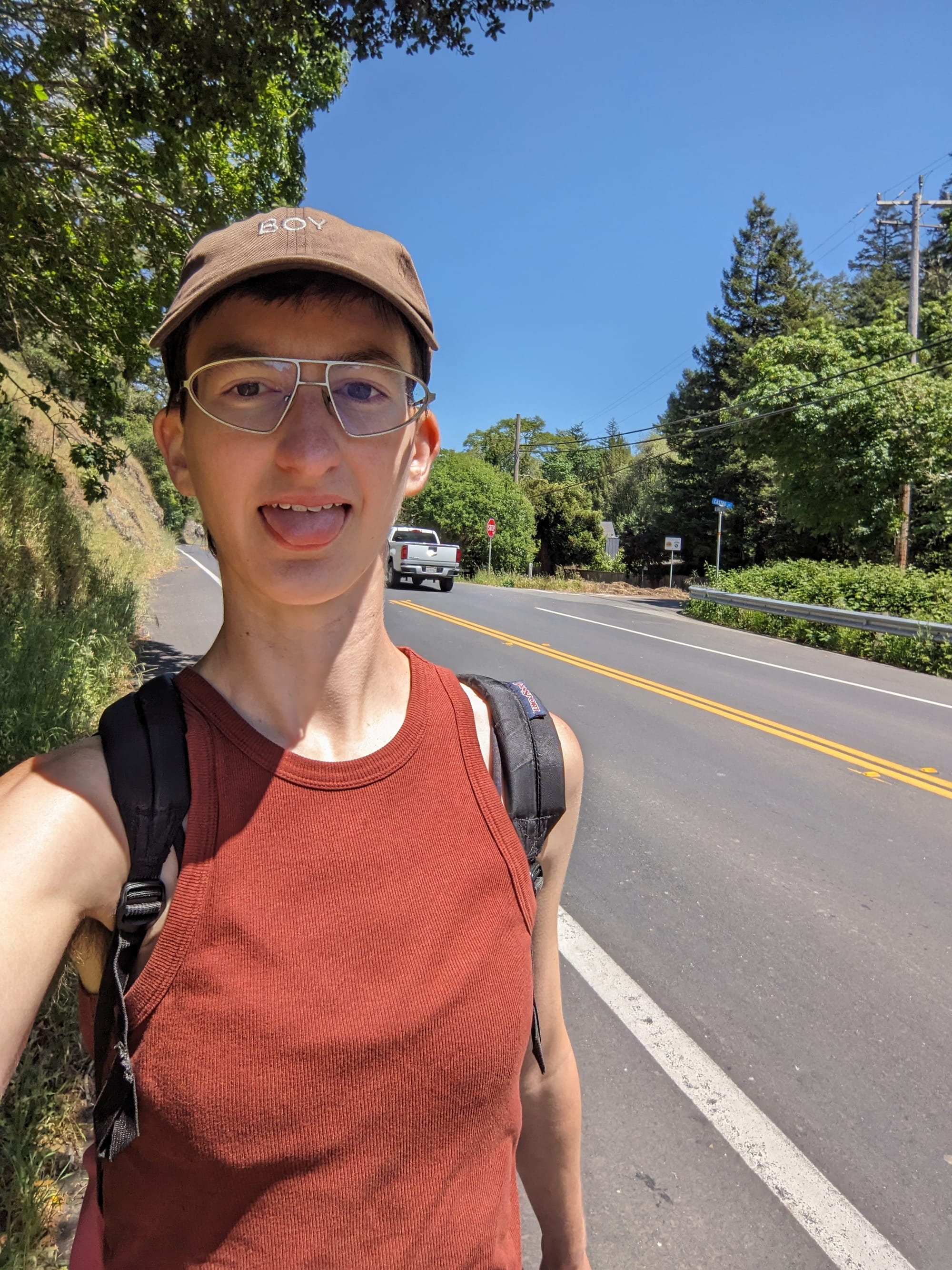
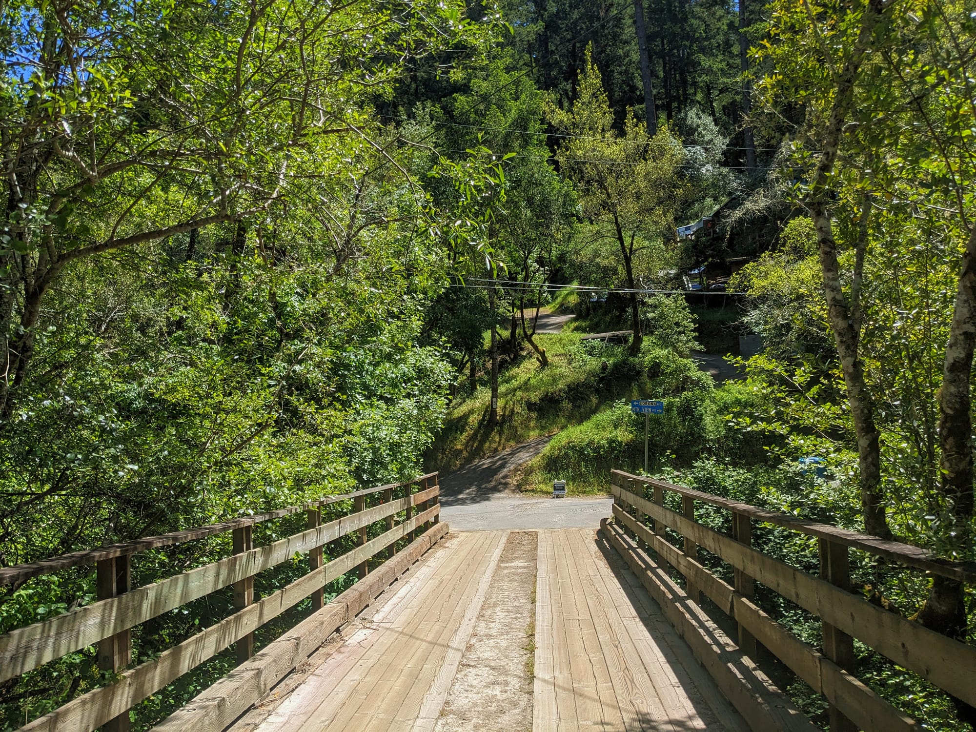
The Bolinas Ridge Trail gets a 4.3 star rating on Alltrails, which basically translates to "this place is a dump." I disagree - it's one of the best examples of the type of trail I mentioned before, perfect for a long trek to nowhere. Actually, it's where I did my first 20+ mile hike, from Stinson Beach to Lagunitas. The first half is some of the most beautiful and quiet redwood hiking in the whole Bay Area. The second half, the half I hiked on this particular occasion is... cow pasture. But it's pretty cow pasture! And right now it is full of wildflowers. And I love hiking through wide open fields with big expansive skies.
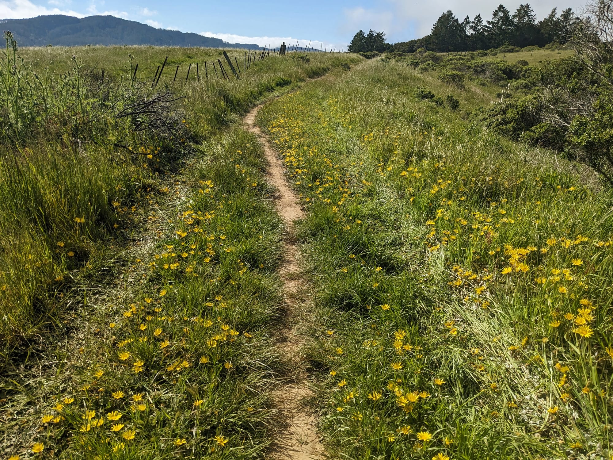
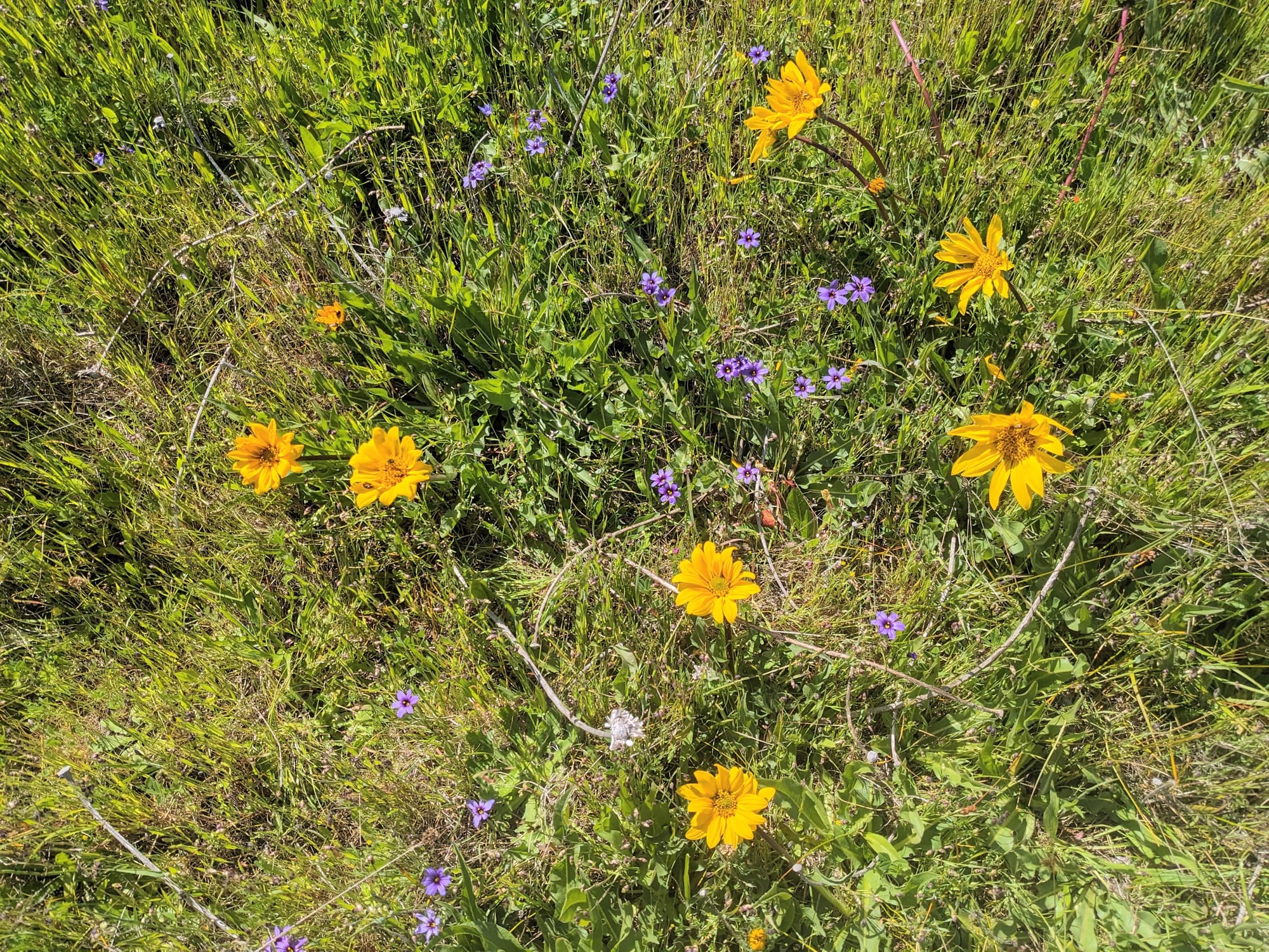
The ground is flowers!
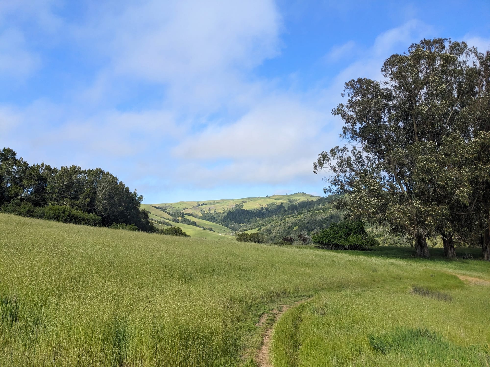
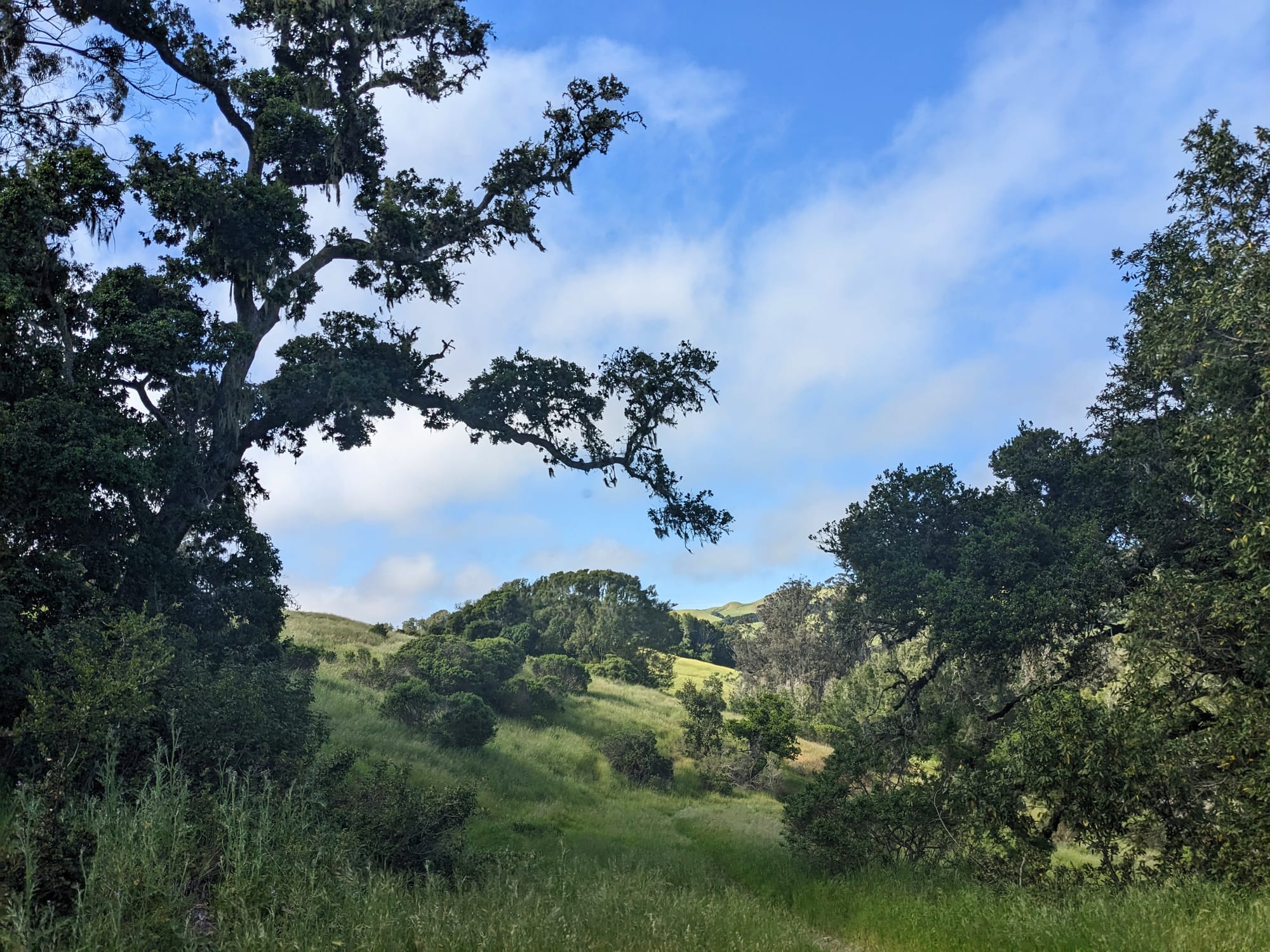
They invented the word "pastoral" to describe places like this
After Bolinas Ridge, I headed down into Samuel P Taylor to check out Barnabe Peak, which is supposed to have great, wide views, and which I'd never been up before. I was also hoping to check out Bill's Trail, which has always looked interesting on the map but is closed in the rainy season.
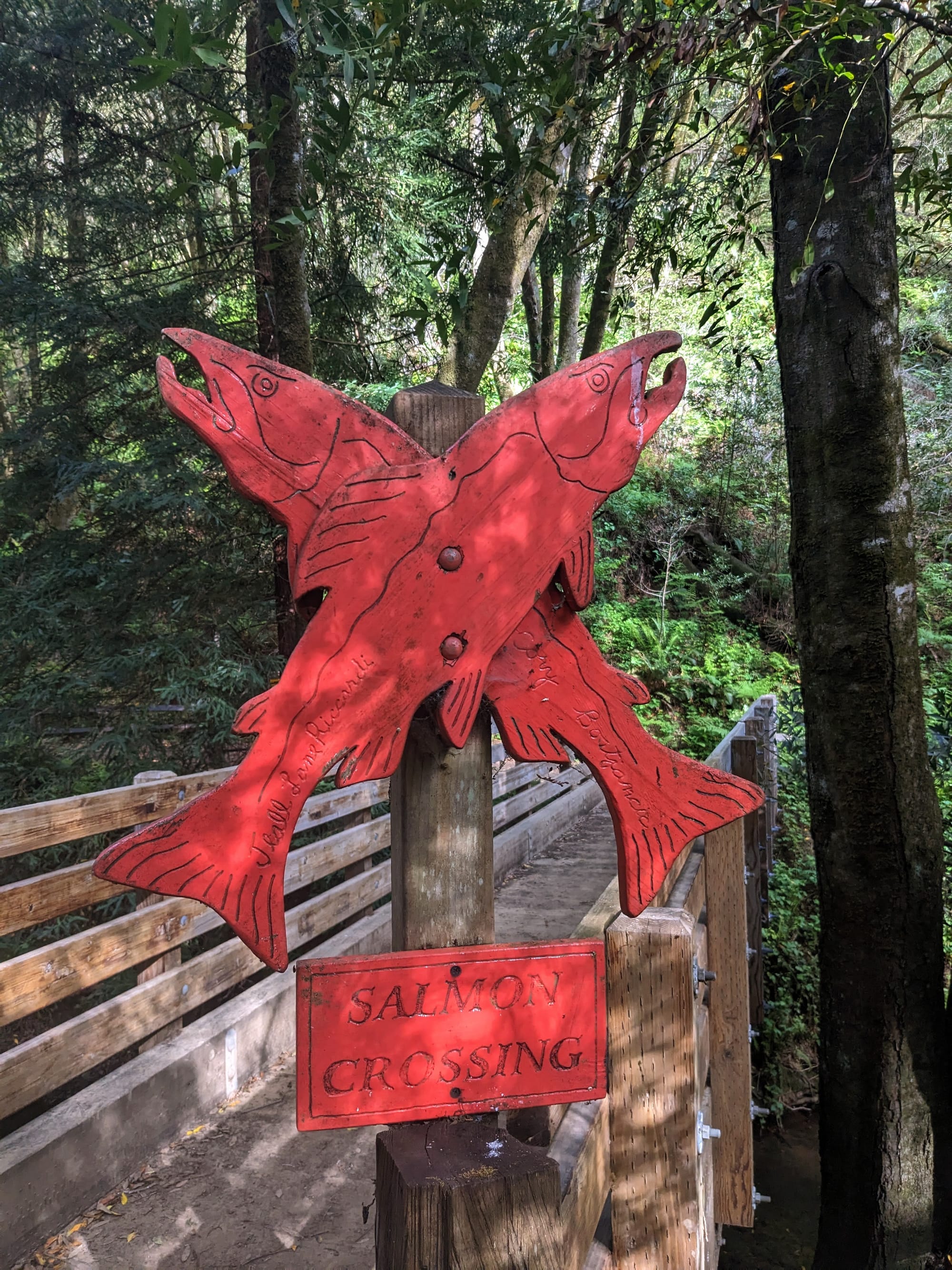
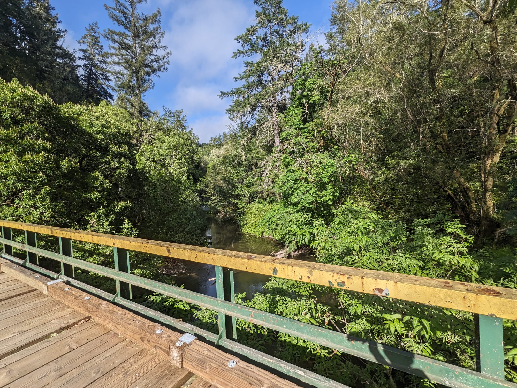
Samuel P Taylor is home to Lagunitas Creek, which is a protected salmon spawning zone
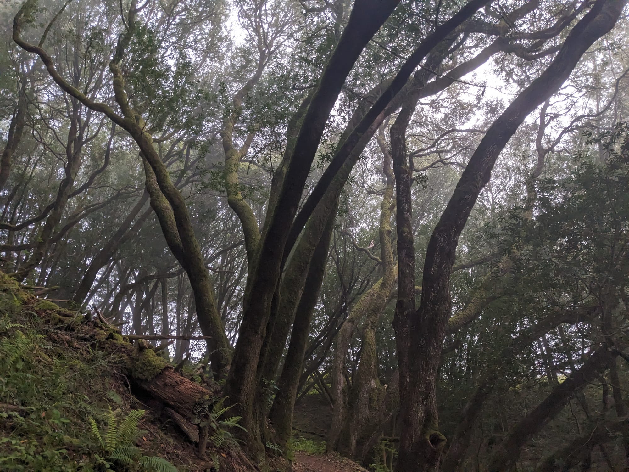
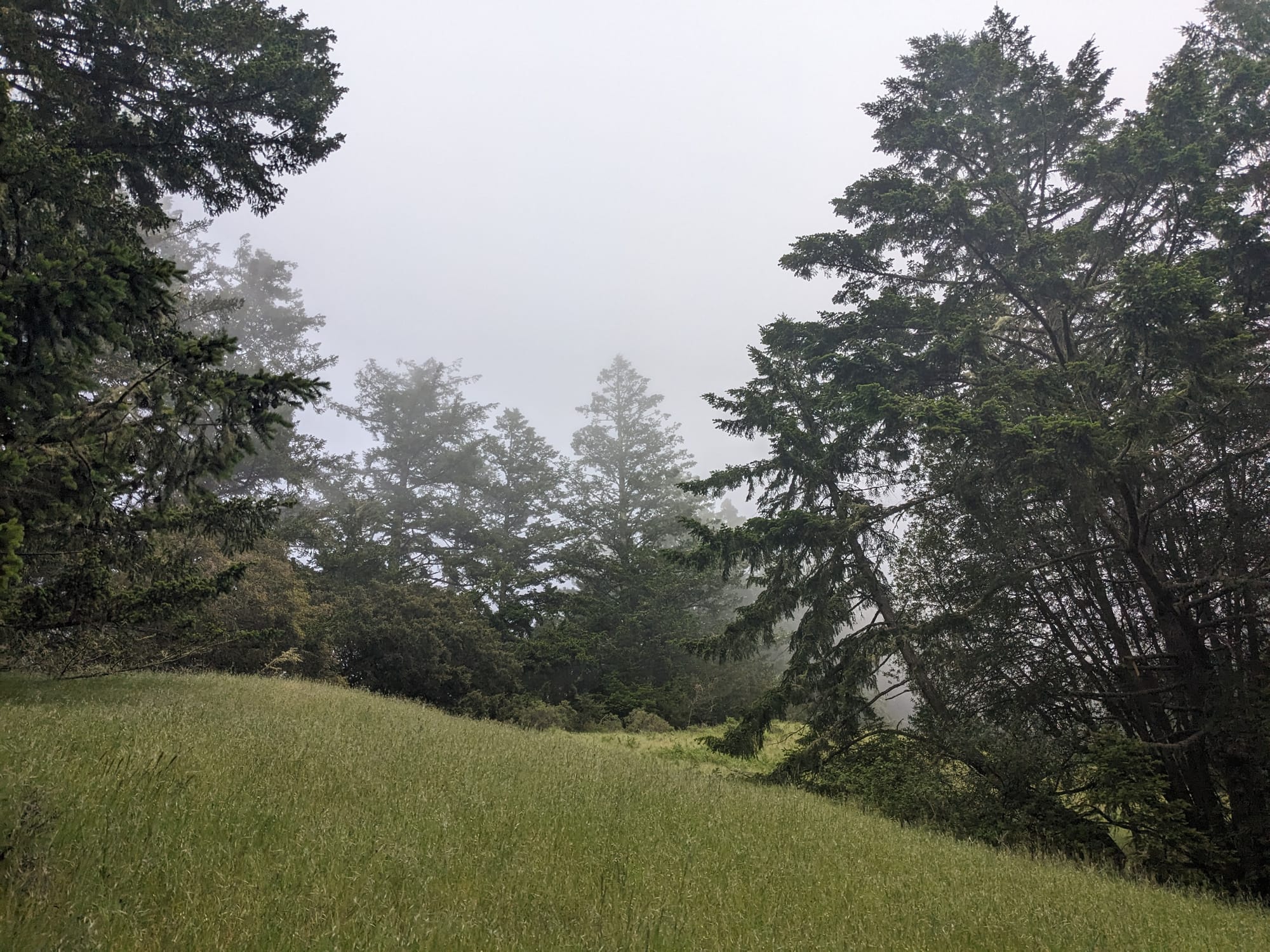
Bill's Trail was lovely, with miles of comfortably graded switchbacks and lots of little footbridges. It felt quintessentially West Marin: weaving through prehistoric looking forest and occasionally catching a break in trees for a peek out over green hills. It reminded me of parts of Point Reyes.
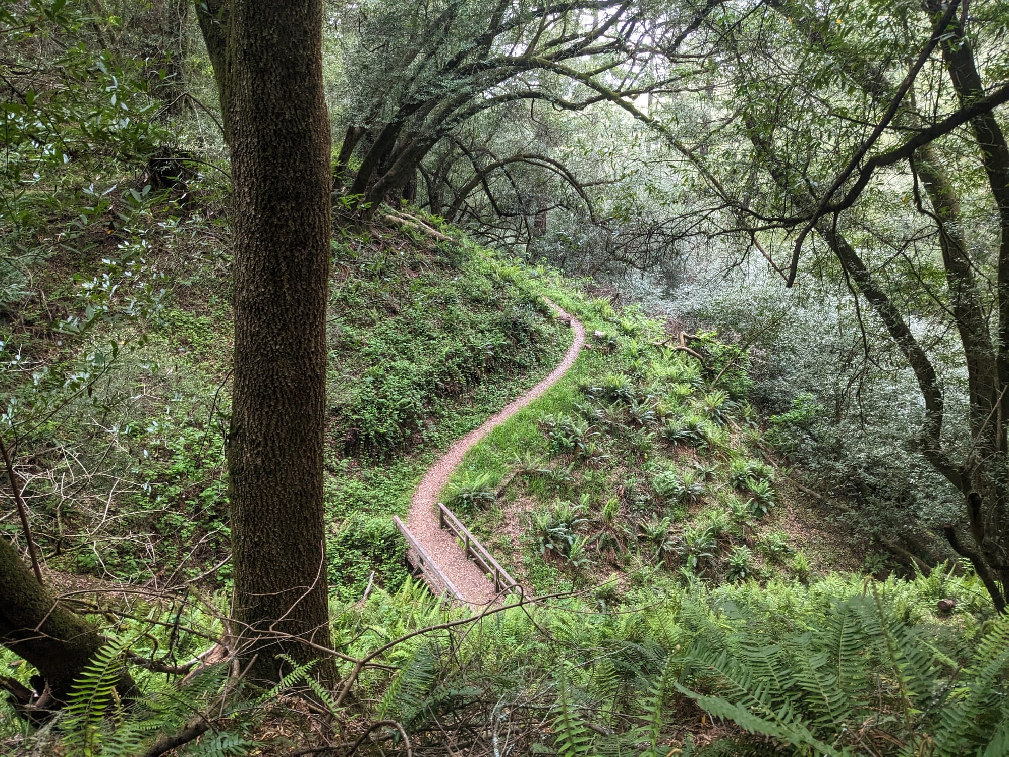
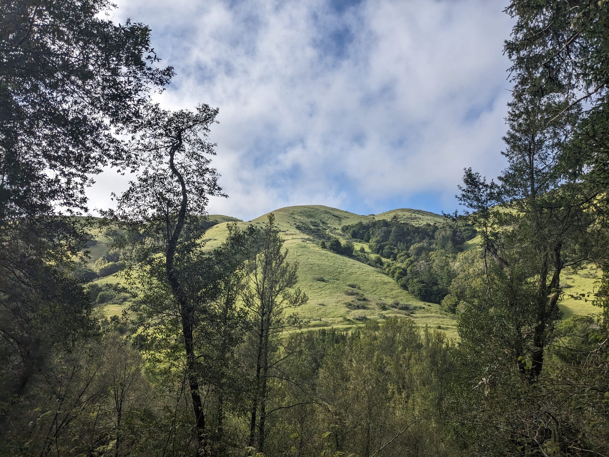
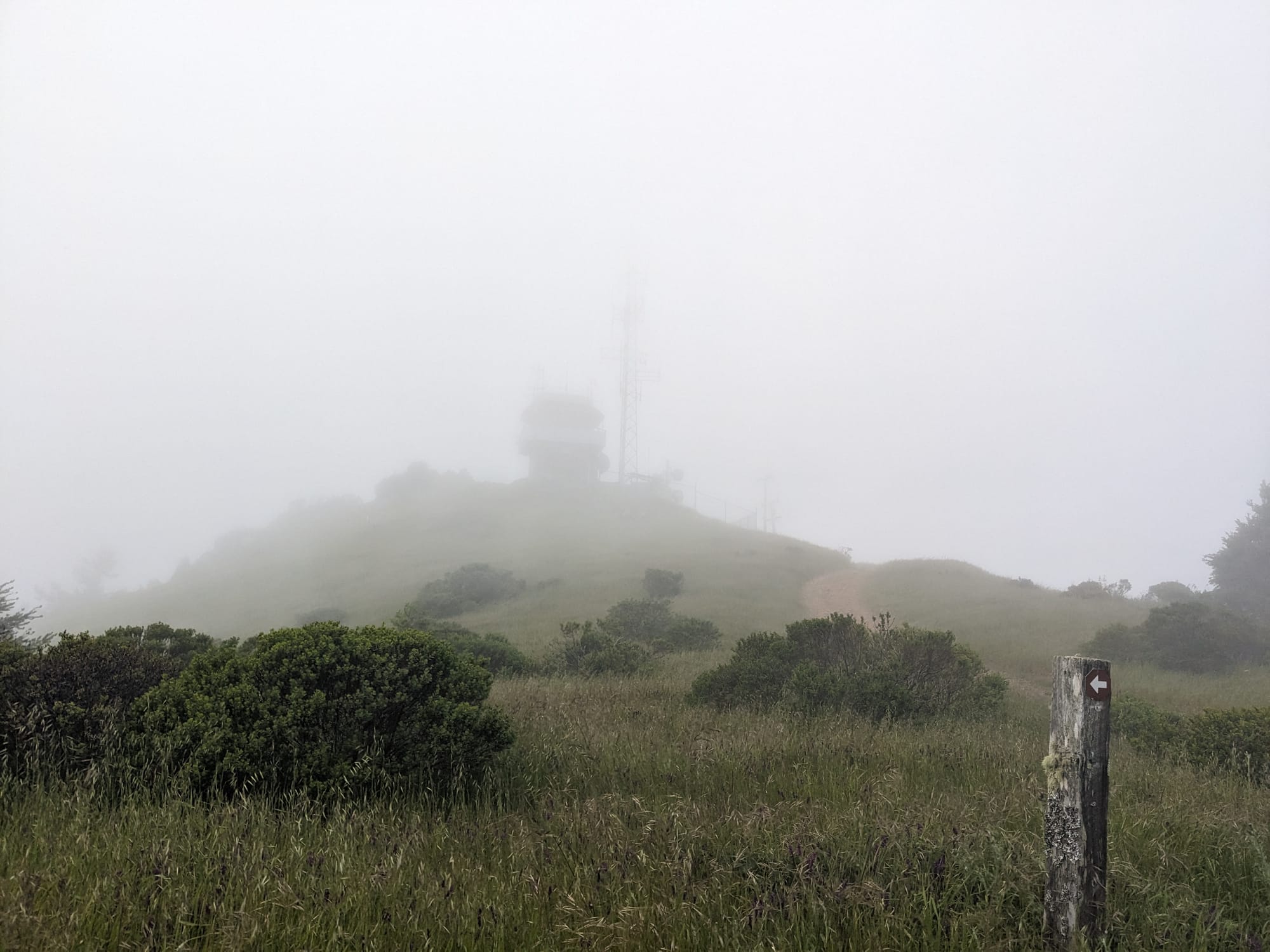
As I climbed up switchback after switchback, I suddenly found myself in a cloud! By the time I got to the peak, it was windy as hell and I could only see a few yards ahead of me. Ok, Barnabe Peak, keep your secrets!
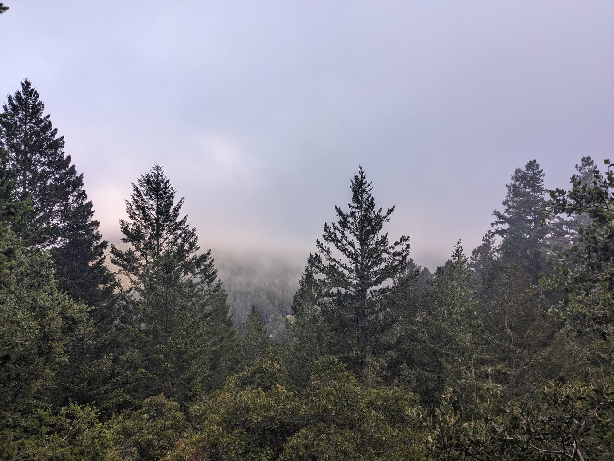
I'll definitely be back here later this summer. Bill's Trail is a delight, and although I had fun in the cloud, I would like to see those views I was promised.


