Hikepost 001 - Mt Diablo Again
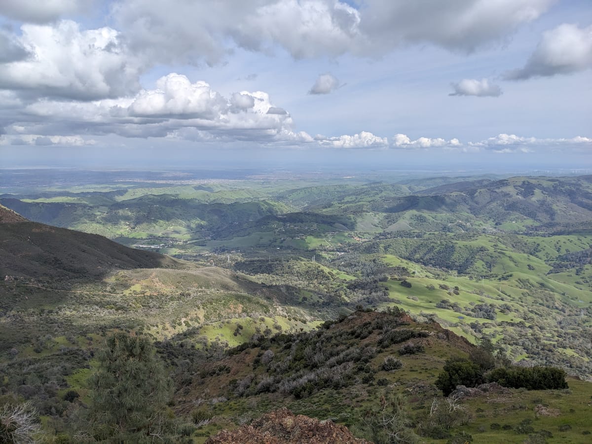
Mt Diablo SP is one of a couple of East Bay parks I can't get enough of. I got my start hiking in the high desert, and the landscape at Mt Diablo has a lot of the same qualities I love about desert hiking: rocky terrain, punishing inclines, scrubby plants, and wide open vistas.
I always describe this park as a large, U-shaped basin, with jagged mountains forming a perimeter around a lush, interior canyon. As such, you can easily experience a variety of ecosystems in one hike. At lower elevations, oak savanna and riparian habitats following the many creeks that run through the park. As you climb, there's manzanita forest and other various forms of chaparral (a landscape defined by dense, short shrubs and trees, found throughout California).
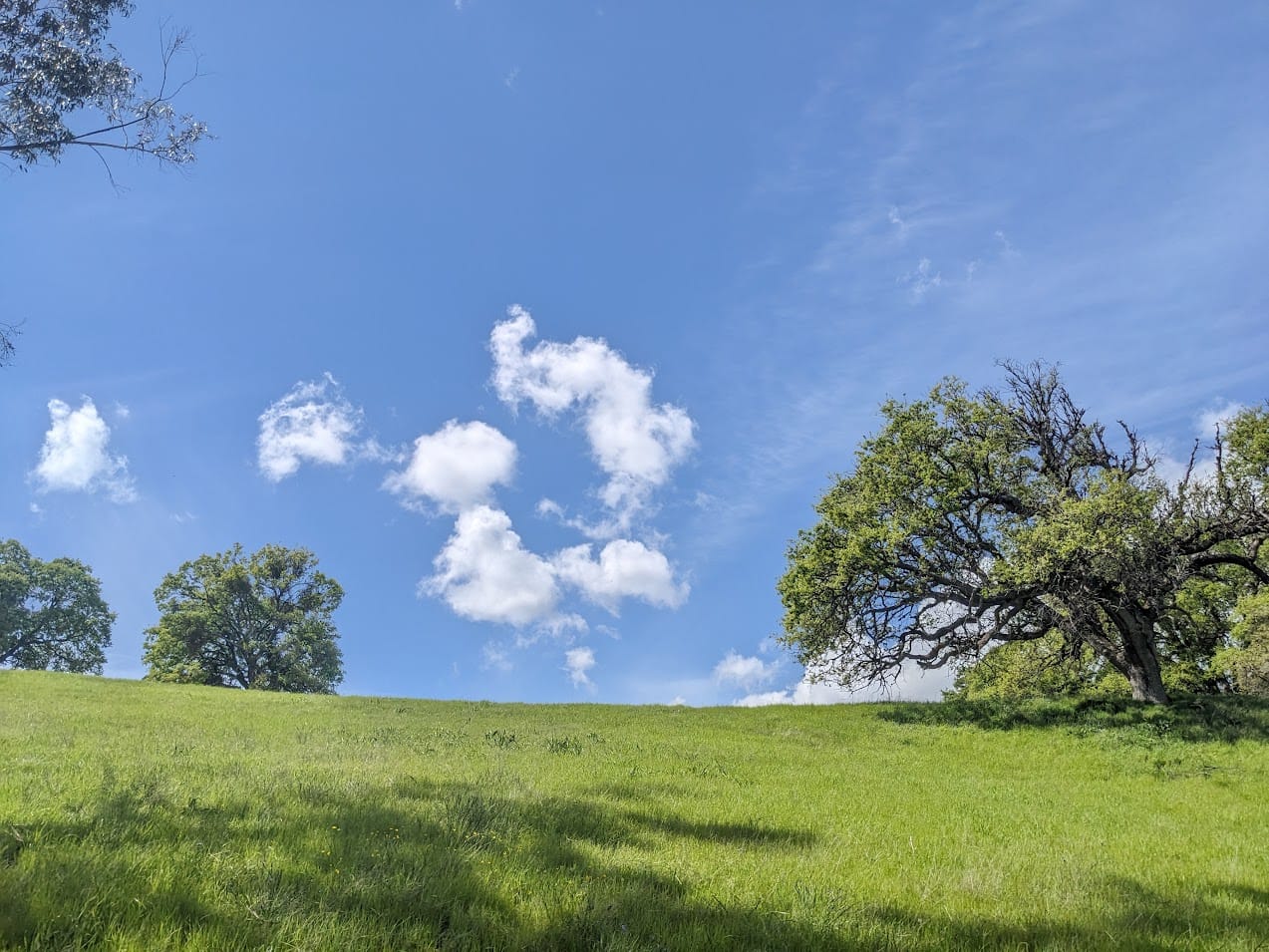
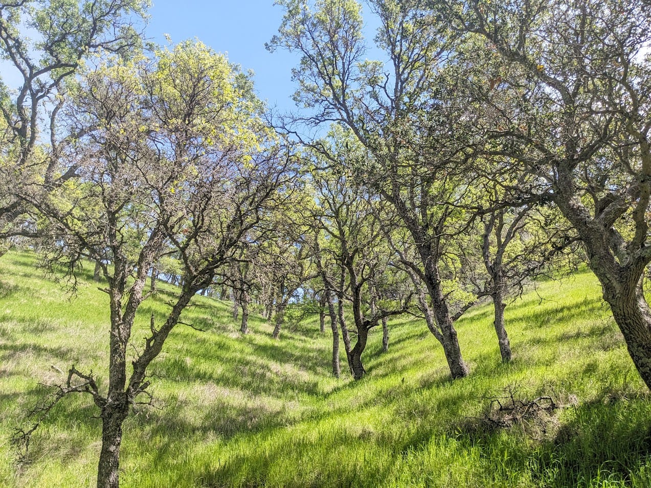
As I take public transit for the majority of my hikes, I took BART to Concord and transfered to this bus, which stops right by a public walking path that leads to the park. From this entrance, no matter where you're headed, you're treated to some nice oak savanna (which in the spring in its verdant state looks reminiscent the Windows XP desktop background)
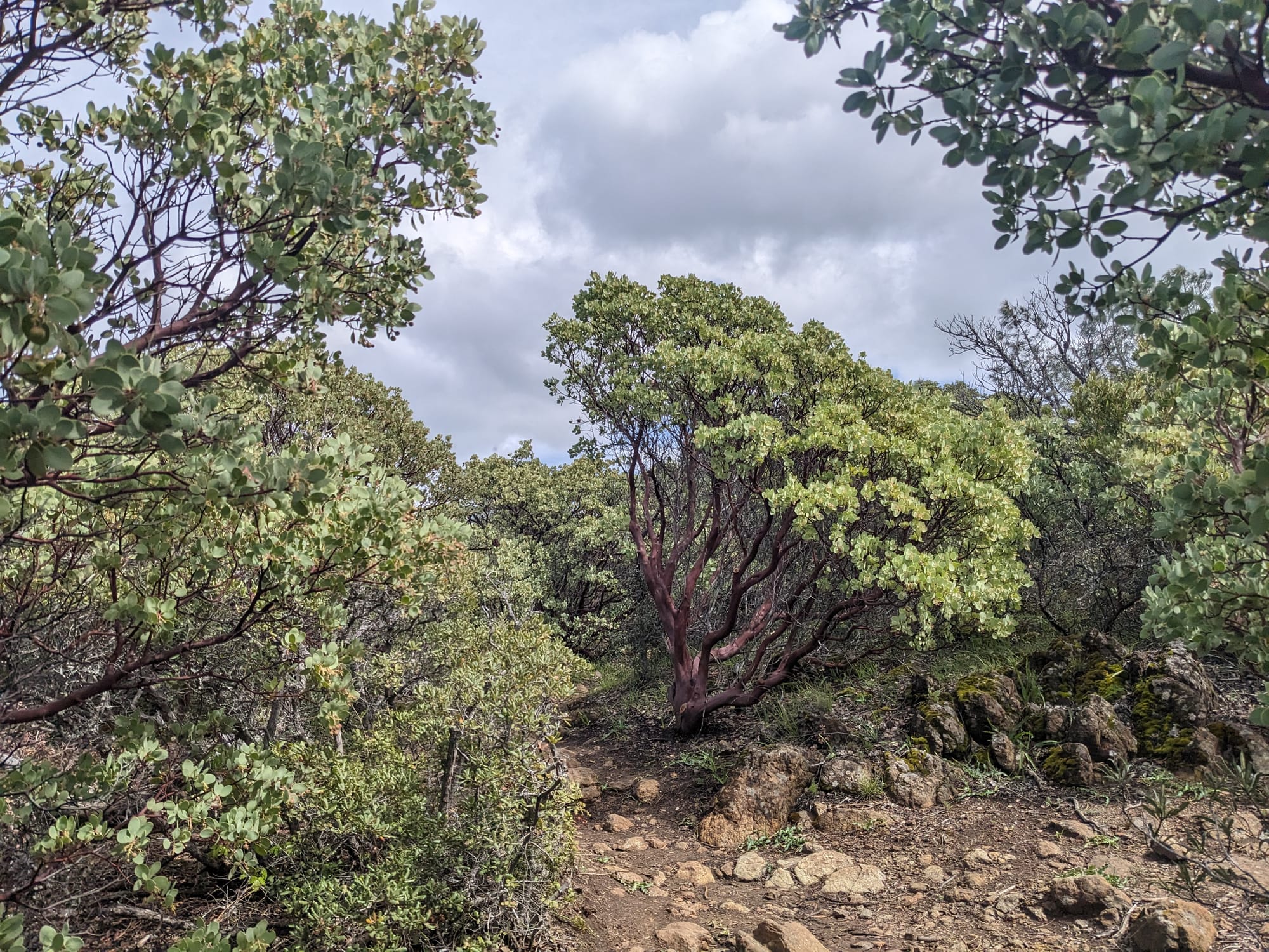
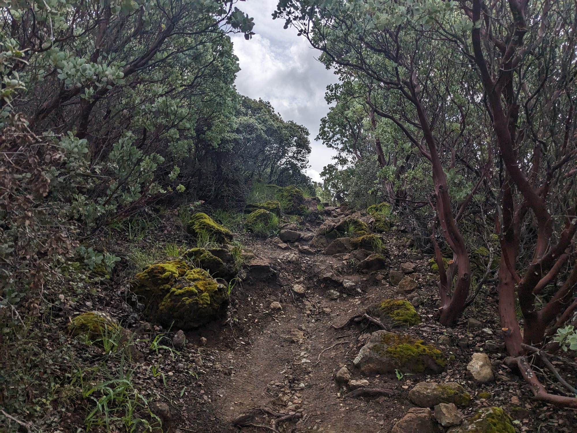
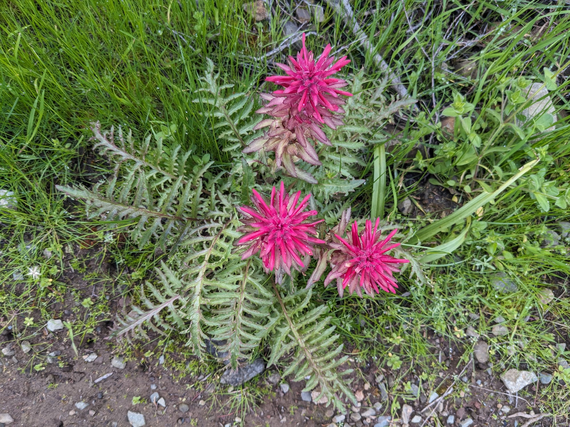
Then, it was time for about 5-6 miles of straight incline, weaving my way up the innocuous-sounding-but-brutal Back Creek Trail to eventually reach the summit of Mt Diablo. This trail starts out following a lovely creek and then gets right down to it, zigzagging up a narrow path cut through bedrock and manzanitas. There were lots of wildflowers coming up between the rocks in the open areas between sections of forest - I think it's going to be a great season after all the rain this winter.
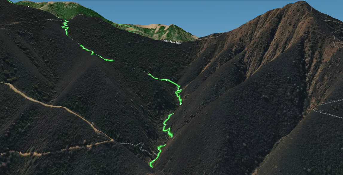
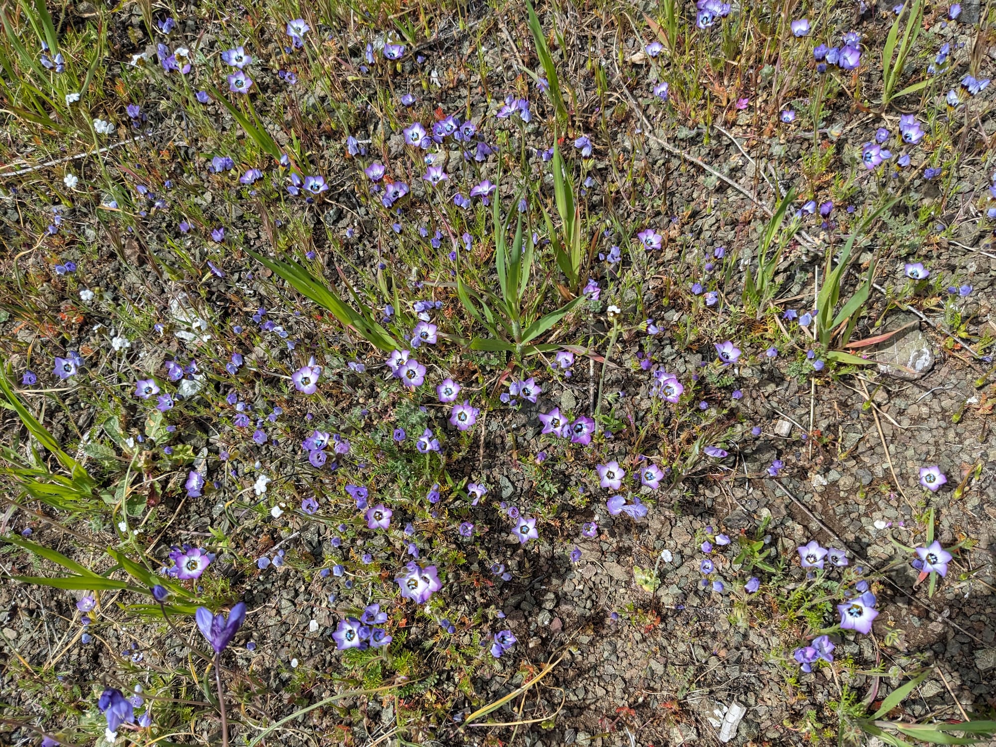
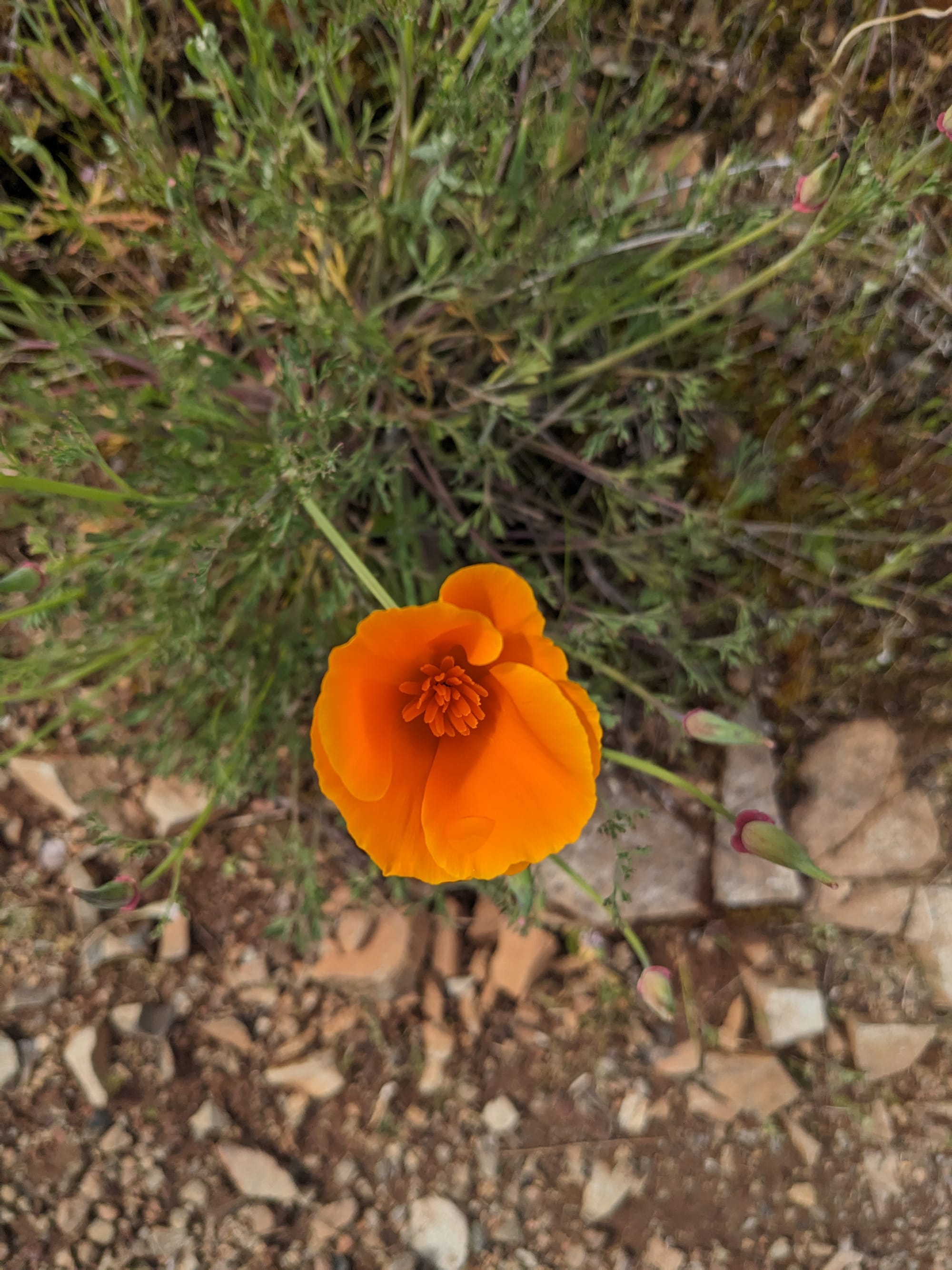
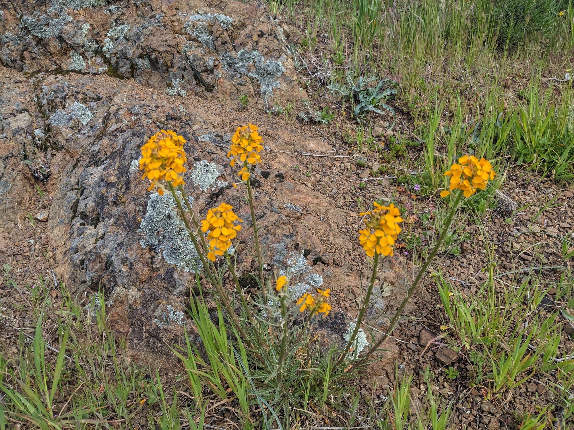
Then, after that brutal climb, it was time for another brutal climb; this time to the summit. This is one of my favorite stretches of trail in the park, following Bald Ridge Trail up, well, a ridge, before wrapping around the south side of the peak (and up to the top). This trail has a lot of nice views looking out over the park's other peaks and the surrounding towns. You start to see Towani pines and some of the other pines that are relatively unique to this park, and lots of silvery, sun-bleached dead trees, which I'm very obsessed with.
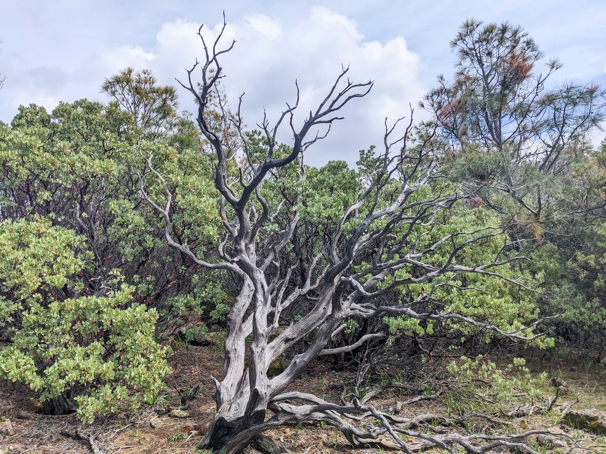
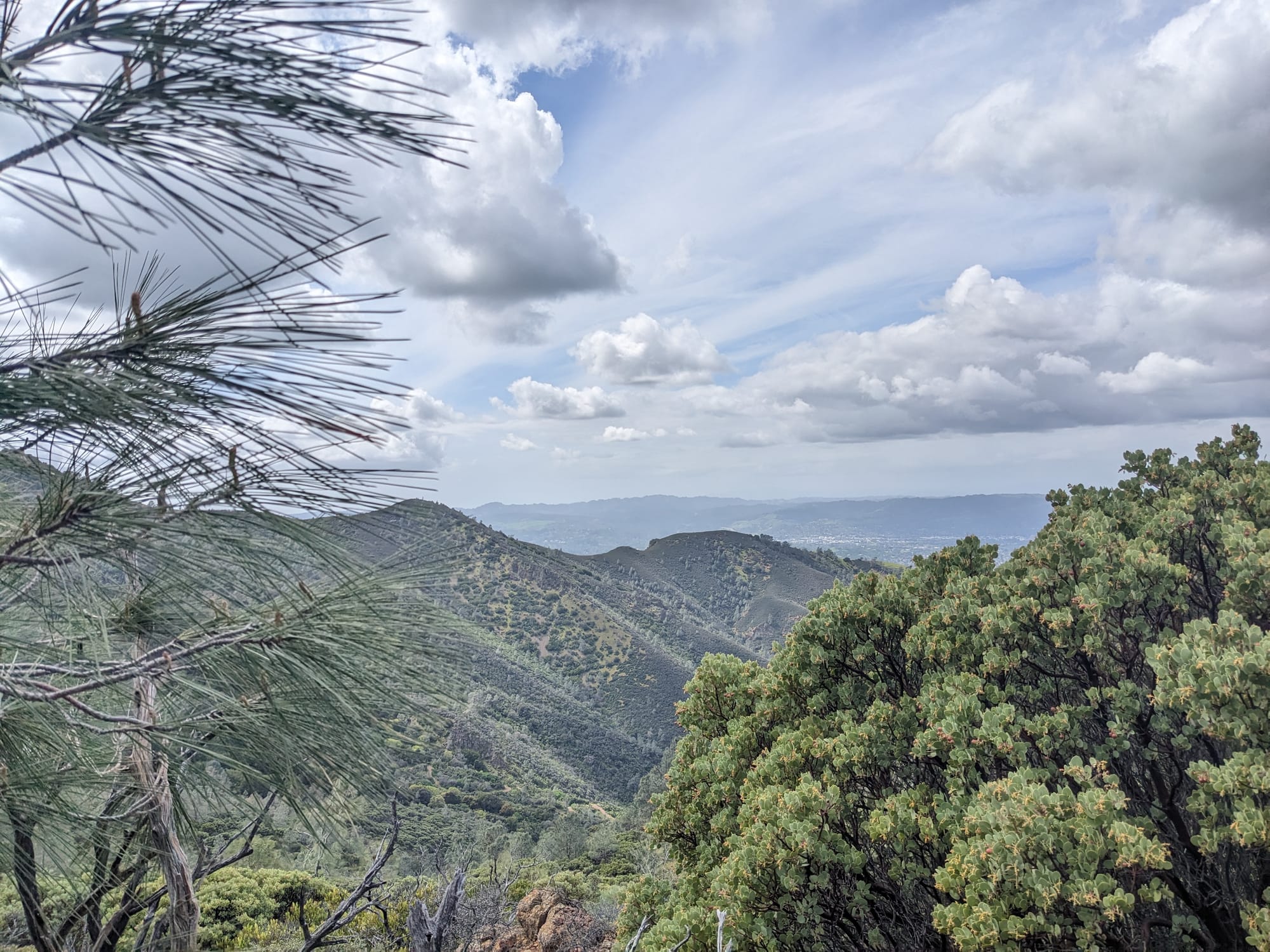
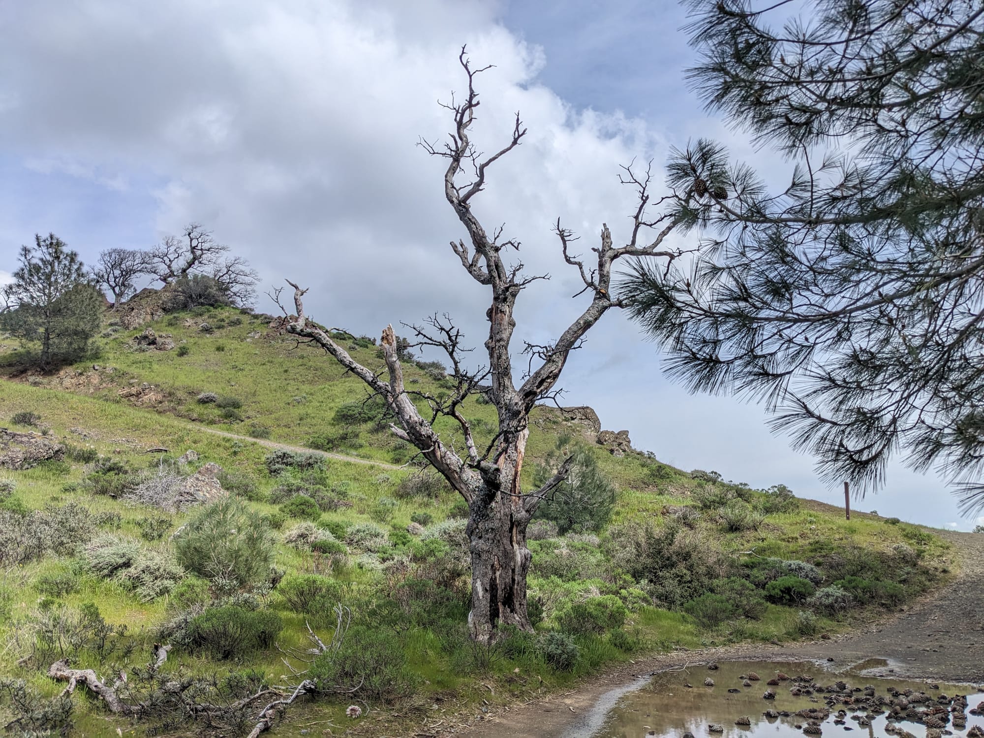
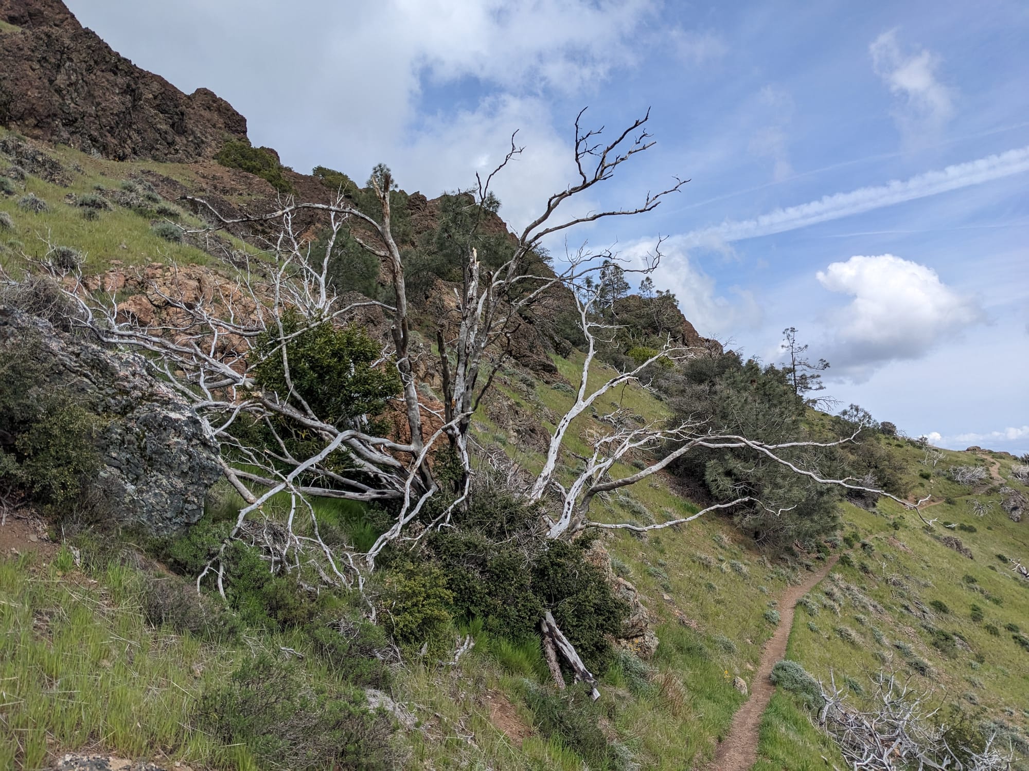
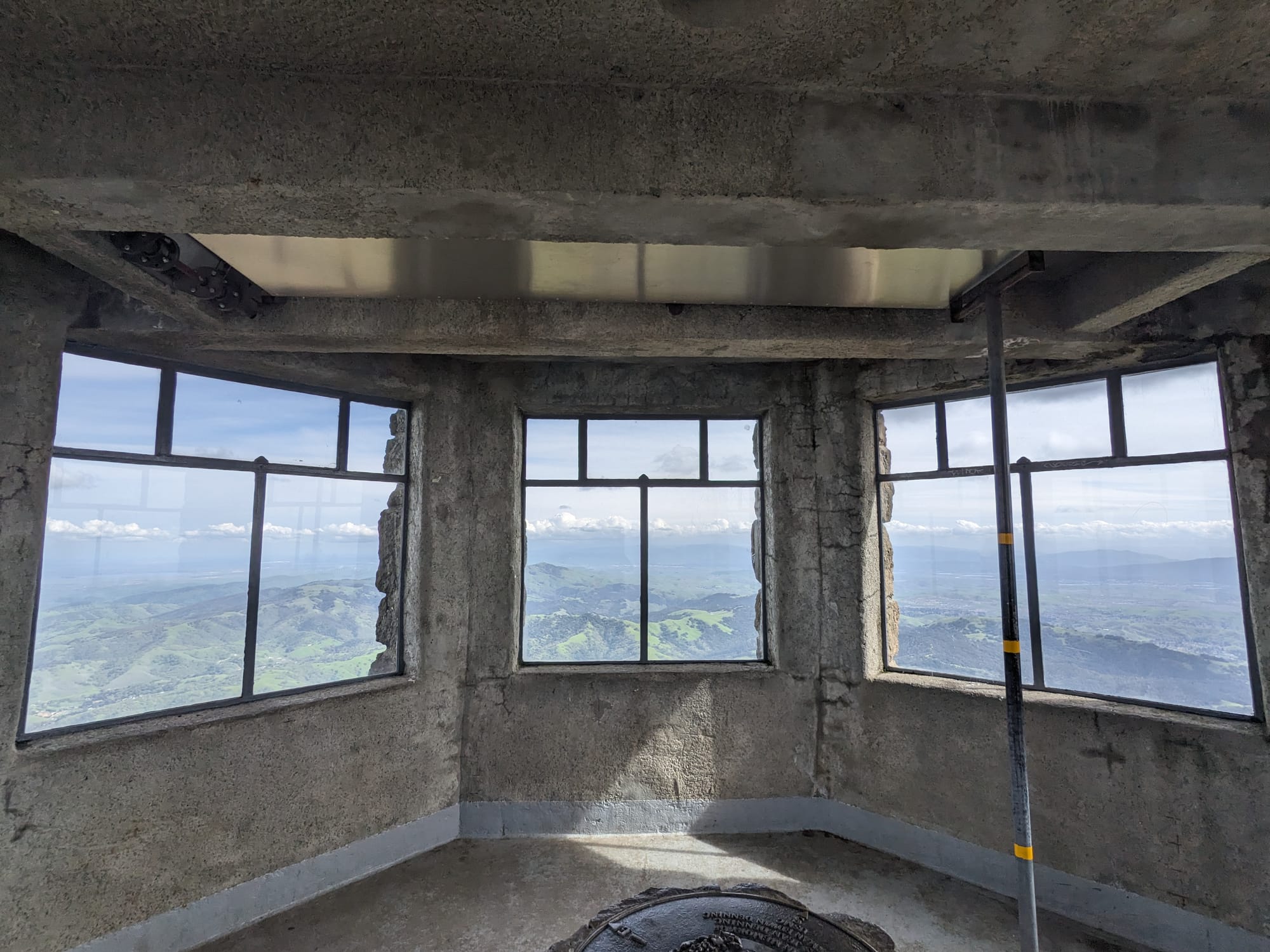
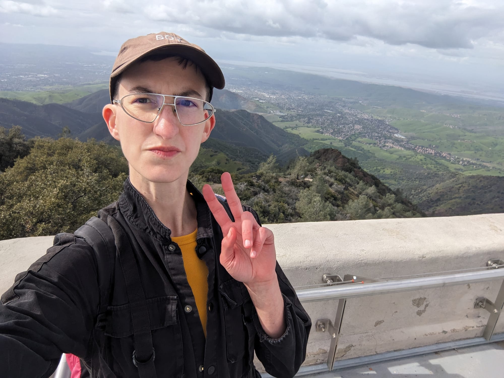
I'm glad this part of the trail is super visually interesting, because it is a slog. It's always a funny contrast at the top after what is a pretty remote hike up, with the observation tower and gift shop and smattering of tourists whose legs don't hurt, because they drove there. And then me, emerging from the brush all sweaty and regretting some of my life choices. I love a good framed view so I always have to pop up into the observation tower for some photos.
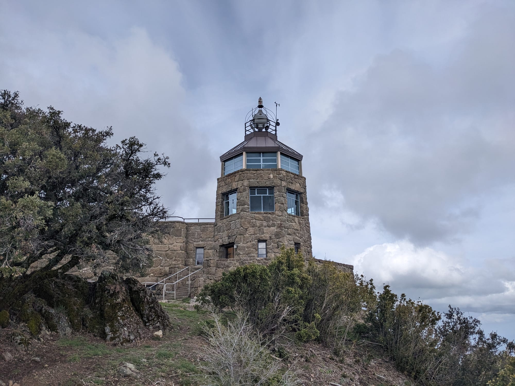
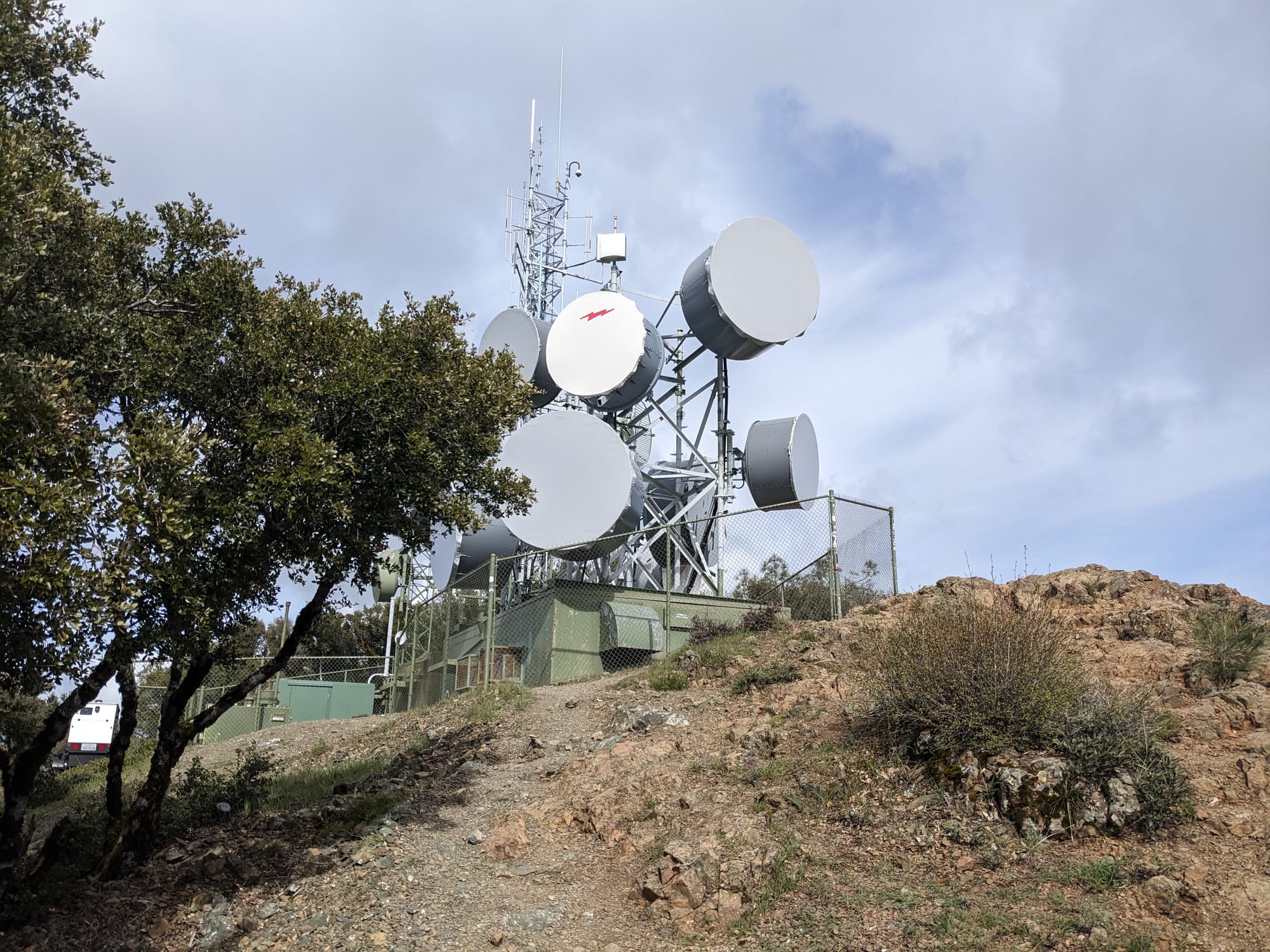
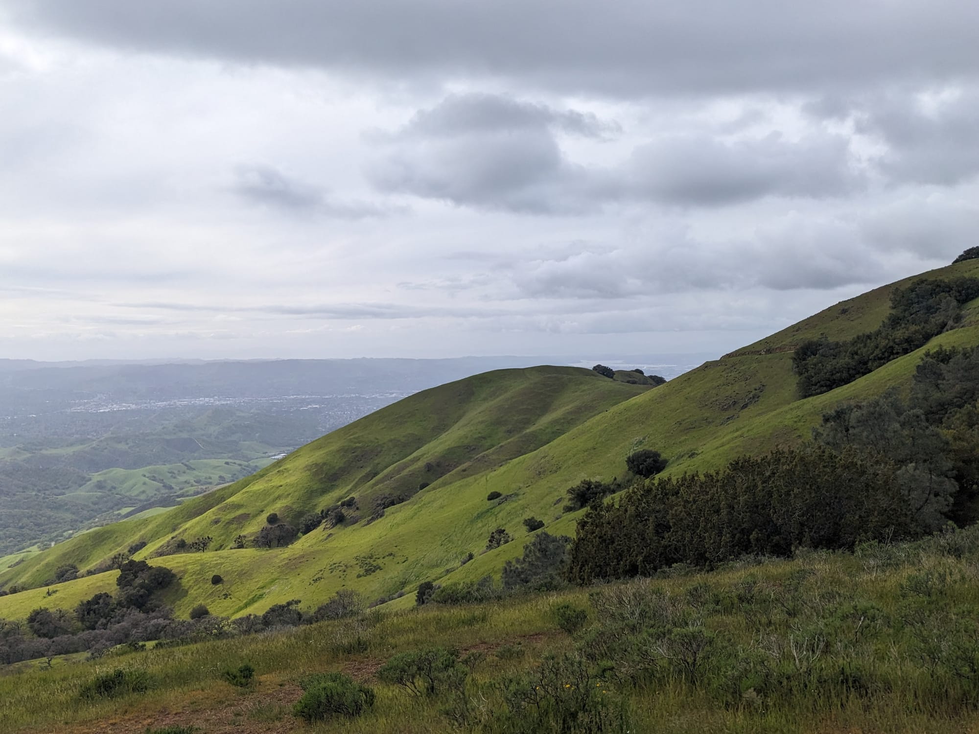
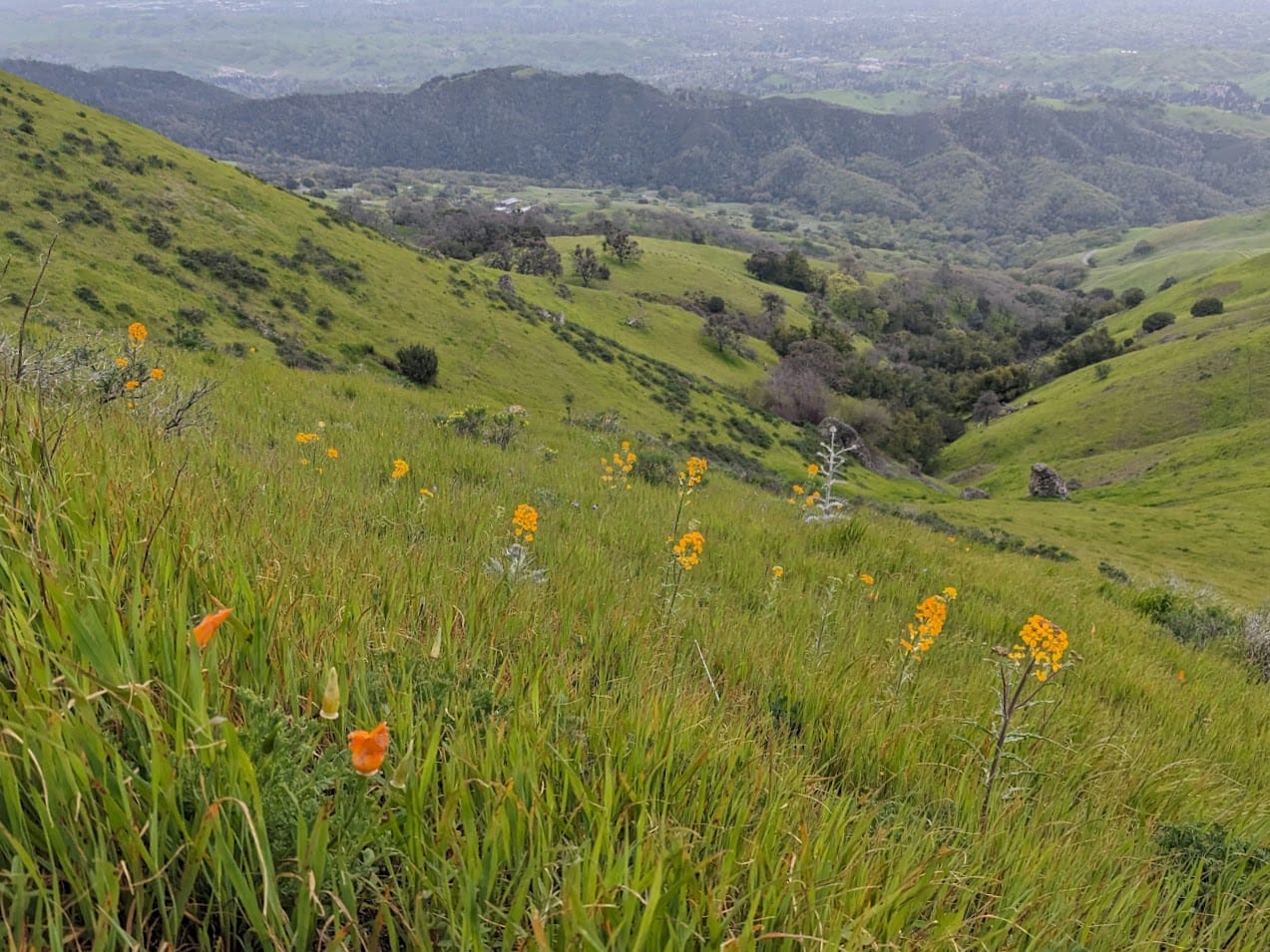
After the summit, I looped around the south side of the mountain on a section of the Juniper Trail that I'd never been on before. I wanted to check out this hillside that I visited last April during what I called a superbloom, although I don't know the exact criteria. It was lush and green, with a few flowers, but I bet it'll be spectacular in about a month.
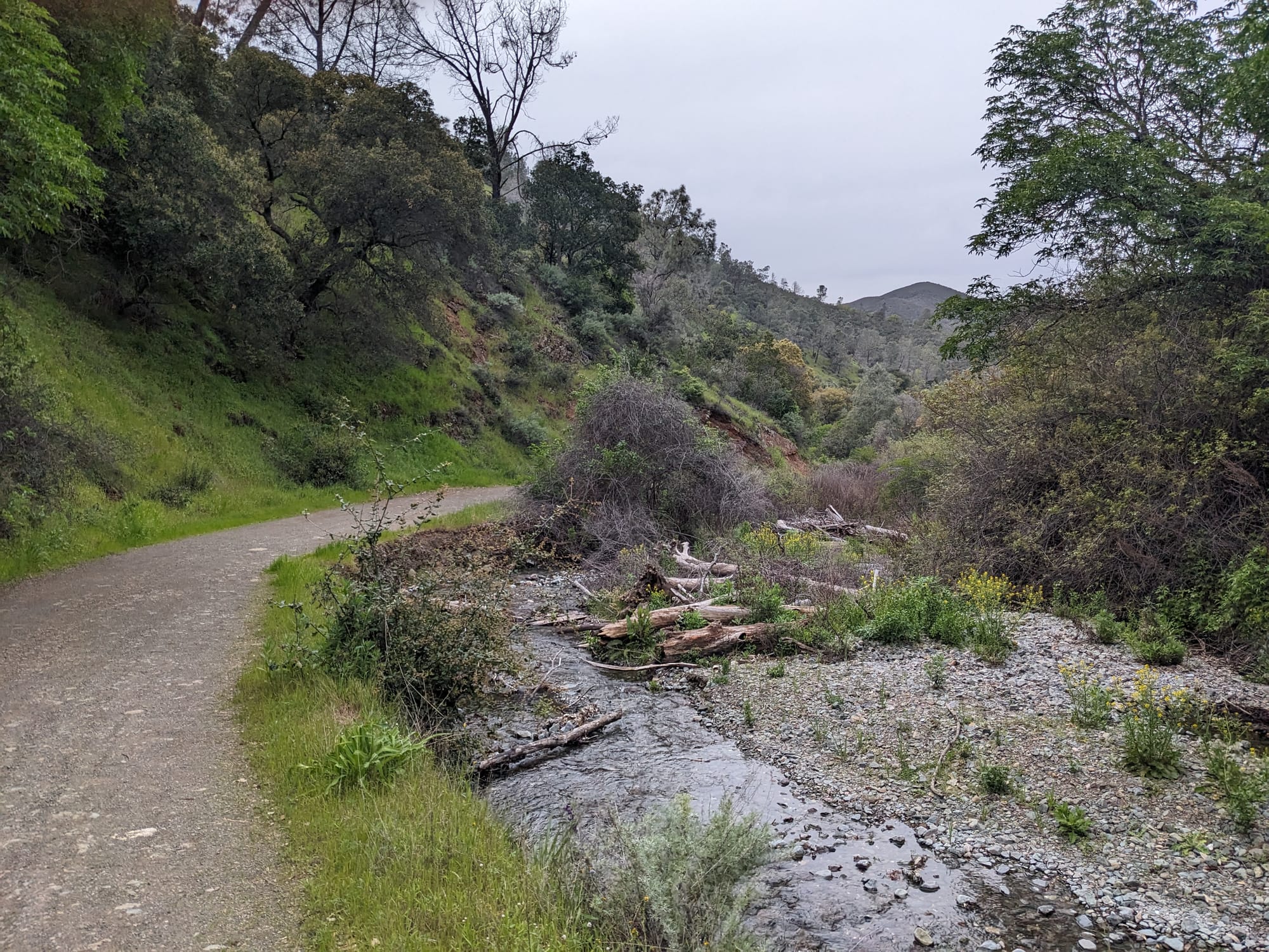
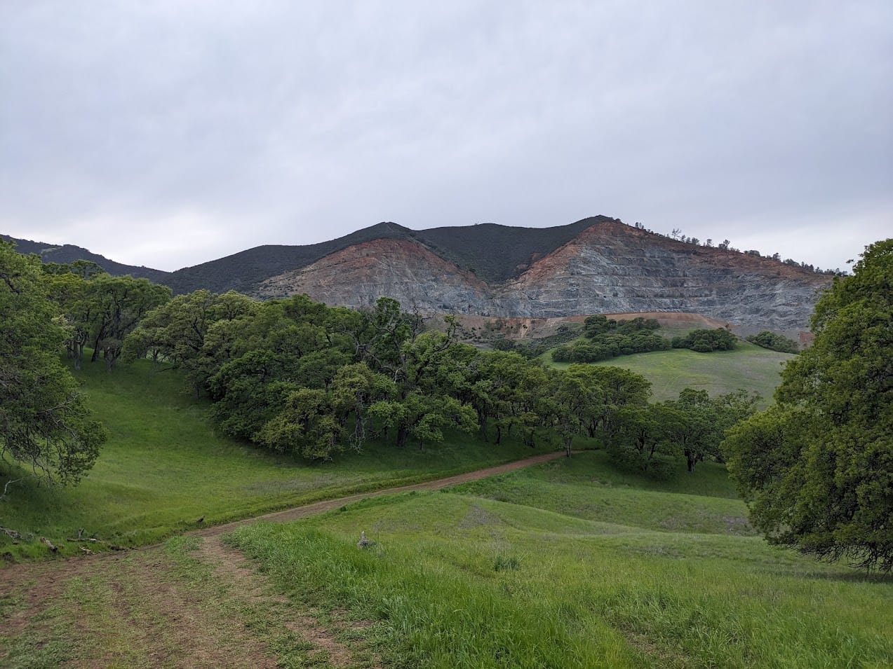
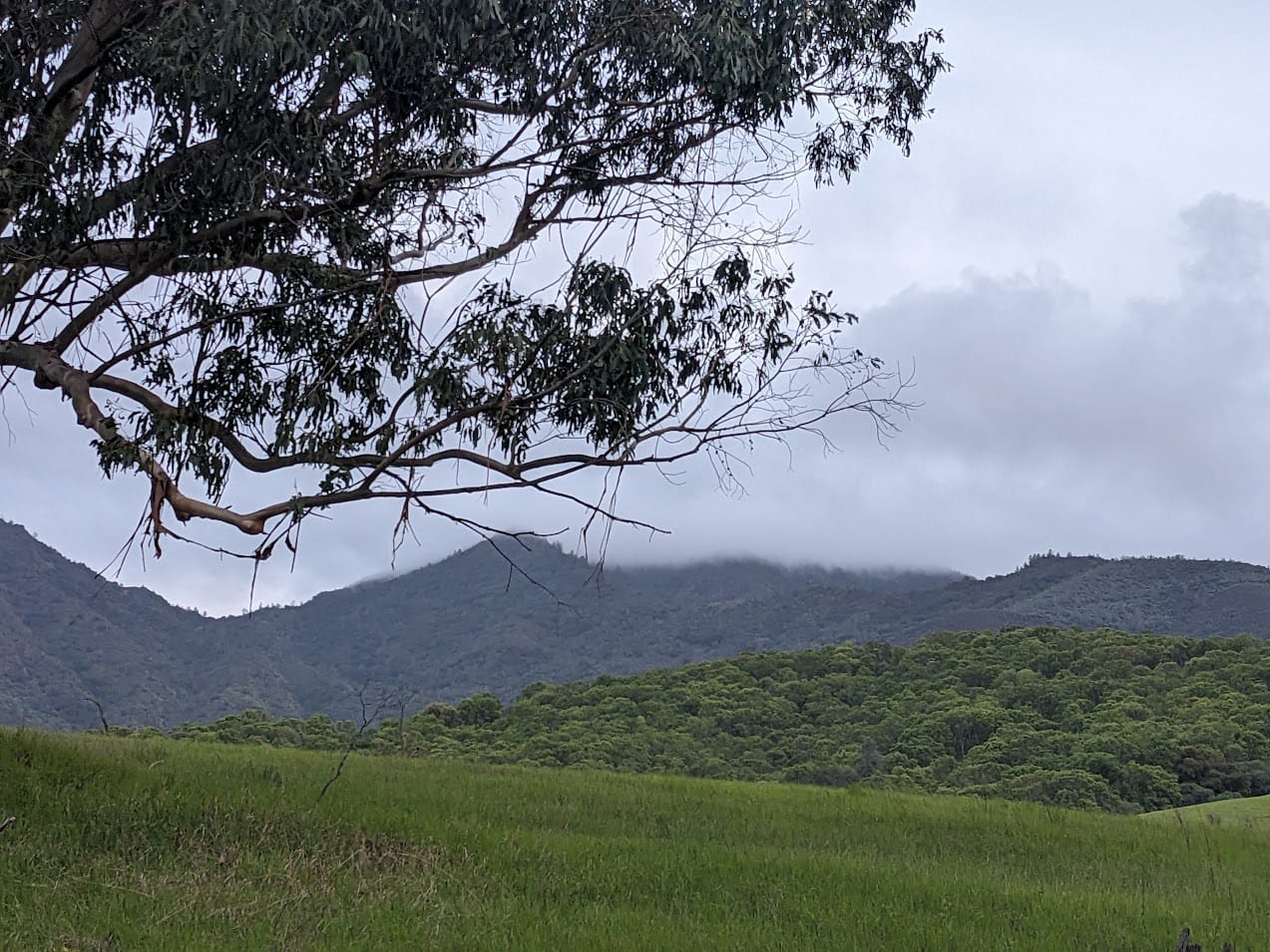
After that I descended on a series of fire roads down through Mitchell Canyon, getting to peek at the other side of a bunch of the peaks I've hiked before. This part was a little boring, and at one point I was so cold and tired I swore off hiking for good. I'm not dramatic, YOU'RE dramatic! At the end I was rewarded with a nice little stream area and a close-up view of the mine at Mt Zion. By the time I had the park entrance in sight, the clouds had fully swallowed the summit!
I'll be back here soon, training for this absolute madness, which I hope to complete some time this year. Sooner rather than later, since it is supposed to take 14 hours and I'll need all the daylight I can get!


