Backpackpost 001 - Henry W Coe State Park
If last year was the year of hiking every single week, this year was going to be the year of backpacking and learning backcountry skills. I've wanted to do this for years, and always assumed I'd have to take a class or learn by going with someone more experience. But years passed and those things hadn't happened, so I decided I'd just figure it out for myself!
After some research and lots and lots of planning, I decided on a 2-night trip in Henry W. Coe State Park. This seemed like a great place to take this next step in my wilderness skills. It's huge, and incredibly remote, but also relatively close to civilization and not far from home. And it would be a familiar environment, as it is a part of the Diablo Range along with many of the parks I hike in often in the East Bay.
The Park
I don't even know how I found Coe. Probably looking at google maps for big uninterrupted green areas I've never been to before, a frequent worm pastime. The park is huge, 87,000 acres, plus 22,000 acres in the adjoining Orestimba Wilderness. It's the largest state park in northern California, and almost no one has even heard about it.
It's mostly popular with mountain bikers and backpackers. The western side near the main entrance has minimal infrastructure, and offers primitive campsites. East of this area is almost completely undeveloped: few roads, no pit toilets (or structures of any kind really), no potable water, minimal signage. Here, dispersed camping is allowed.
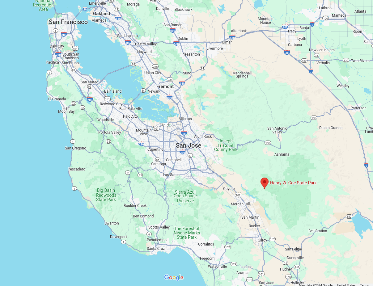
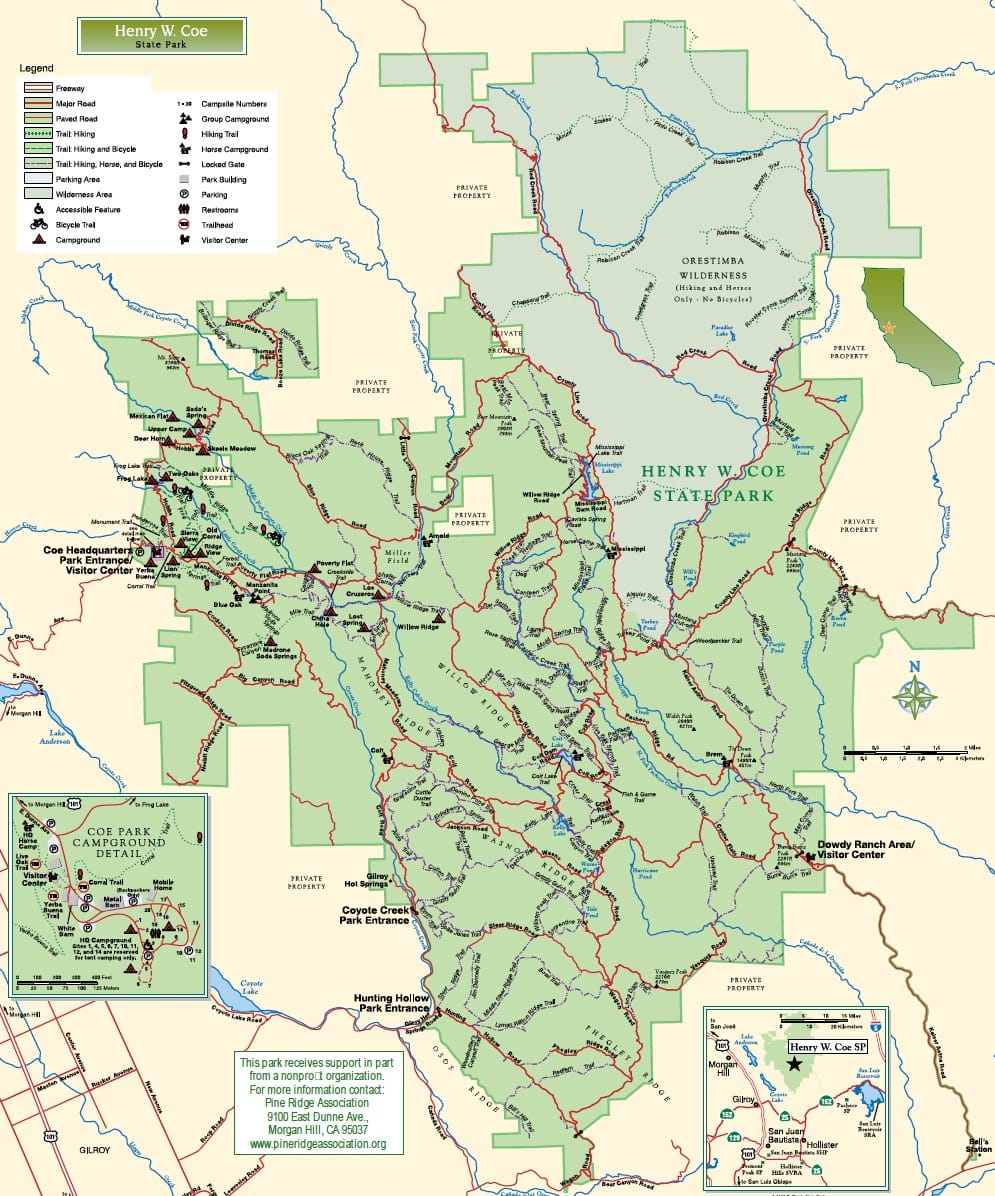
My plan was to hike out into the Orestimba Wilderness on the eastern side on Wednesday night, and find my own campsite in a valley. Thursday, I'd hike along a ridge to a primitive campsite on the side of a hill, and Friday, I'd hike back.
Preparation
I spent weeks prepping for this trip. Since I didn't have backcountry experience, and was going to be going alone, I decided I'd be fine if I just researched the hell out of everything and covered all my bases. I made about 6 google docs, read a million articles, called the park to check the water availability, and even went on a hike to test out my new water filter. (this filter, which I am not sponsored by but highly recommend!!)
I guess I'll probably need a tent
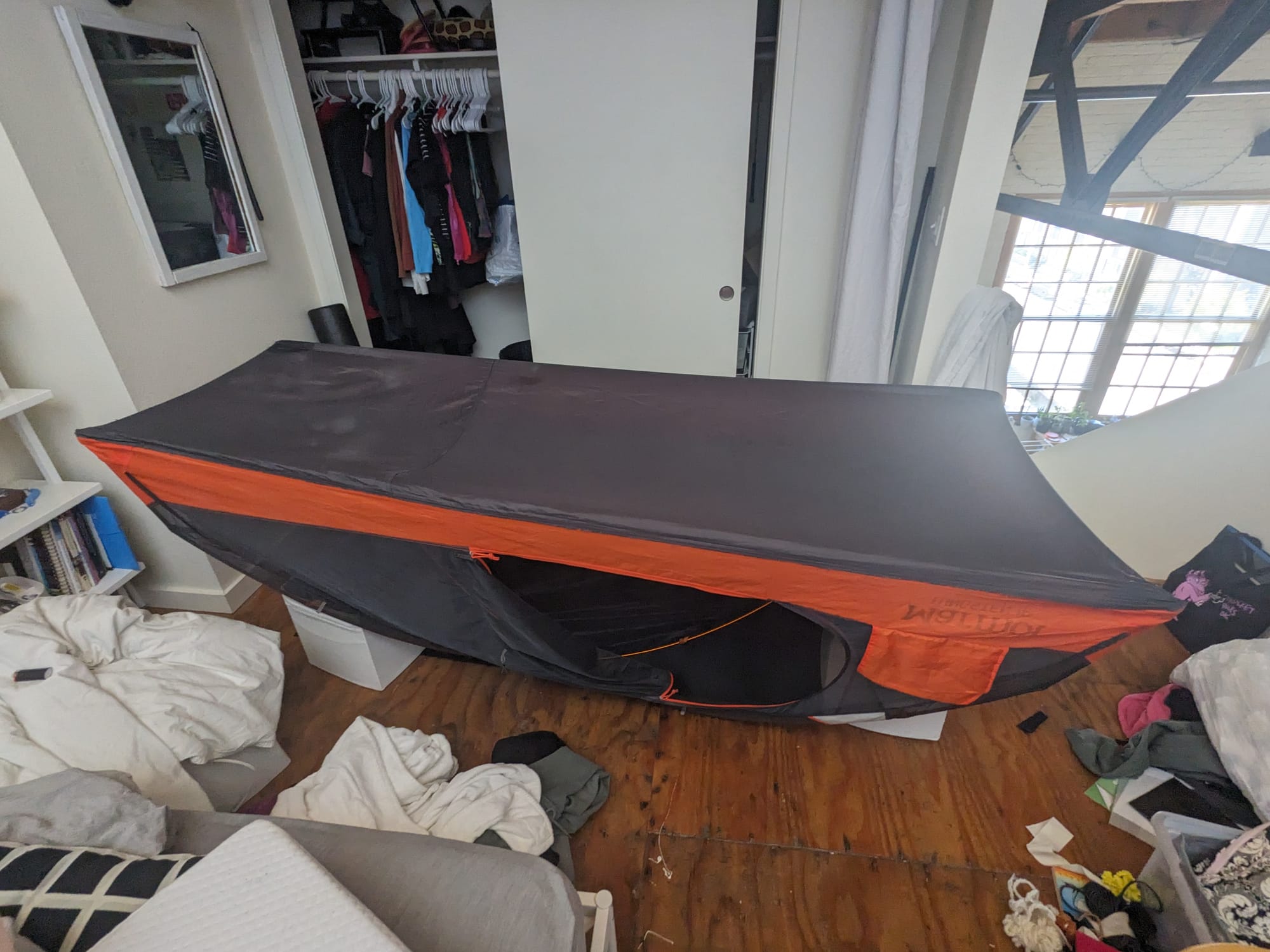
This trip also meant finally finishing an annoying-as-fuck task I started literal months ago and kept putting off: re-waterproofing my backpacking tent that I accidentally de-waterproofed with bug spray on my Point Reyes trip. This involved removing the existing, degrading polyurethane, applying seam sealant to all the seams, and adding a new coat of waterproofing to the entire "bathtub" floor of the tent, all without damaging the delicate fabric. This whole process was extremely stressful and sucked pretty much the whole time, (and I usually enjoy projects as onerous as this!)
Using the oven for a really, really long time
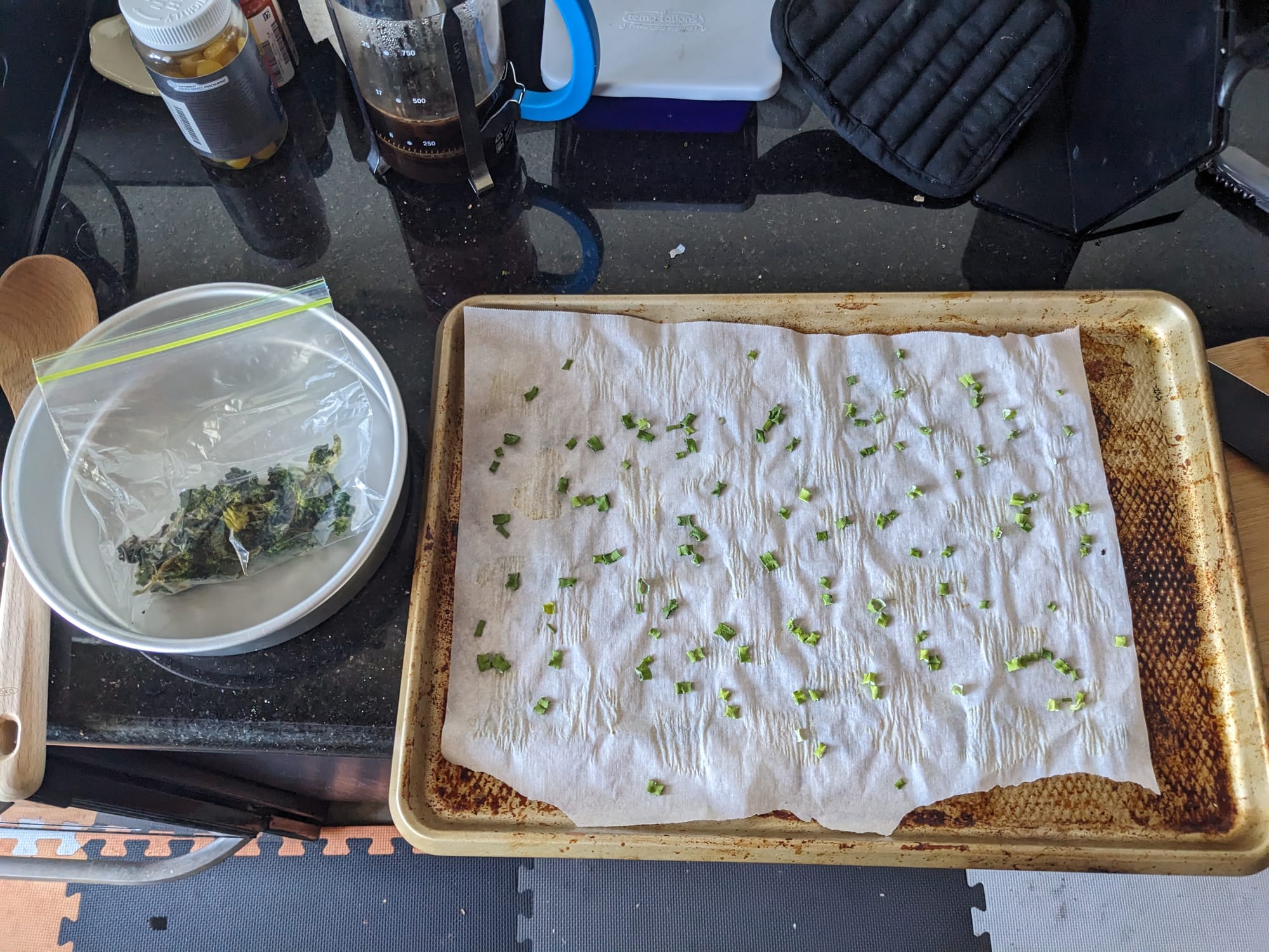
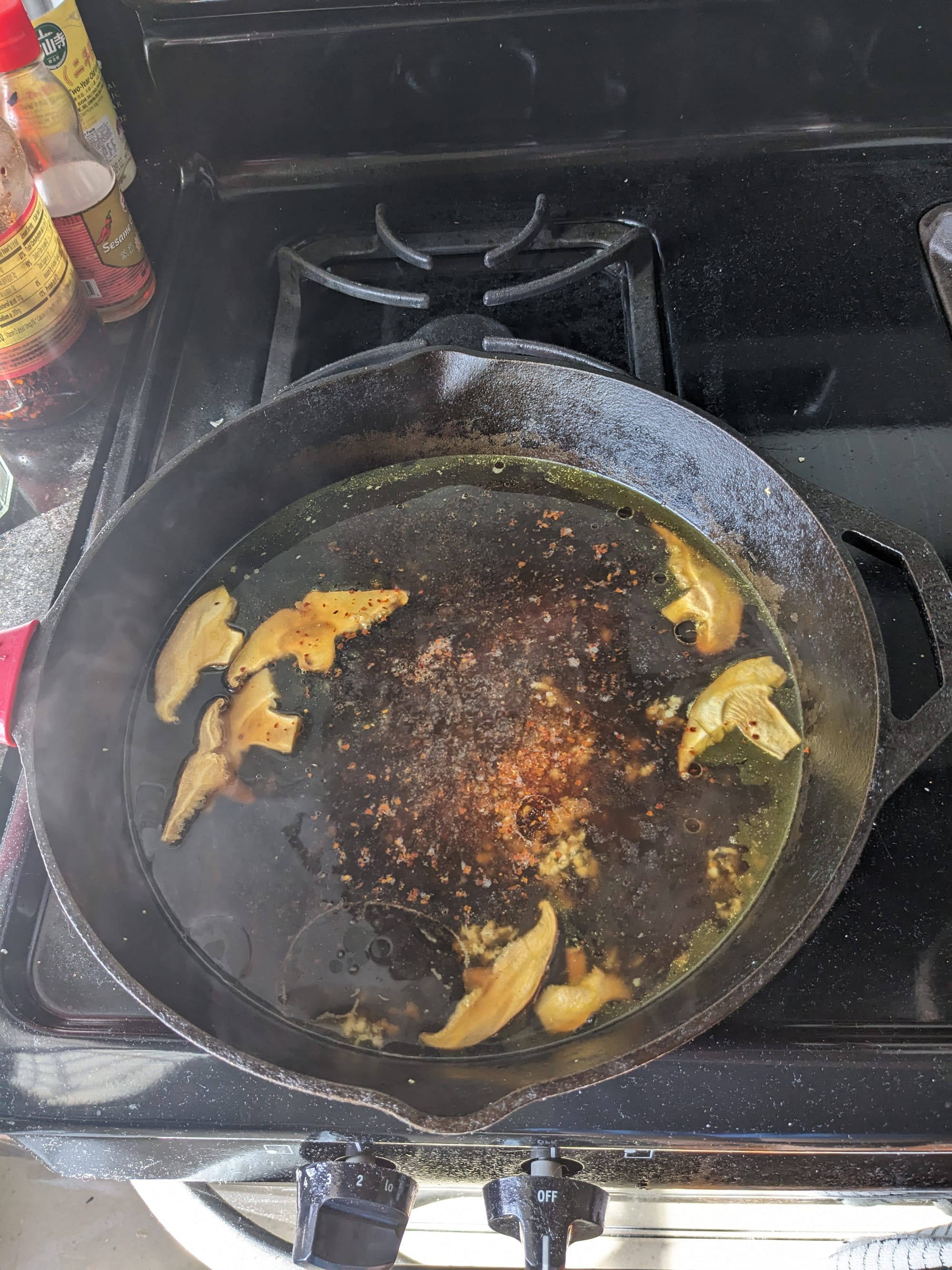
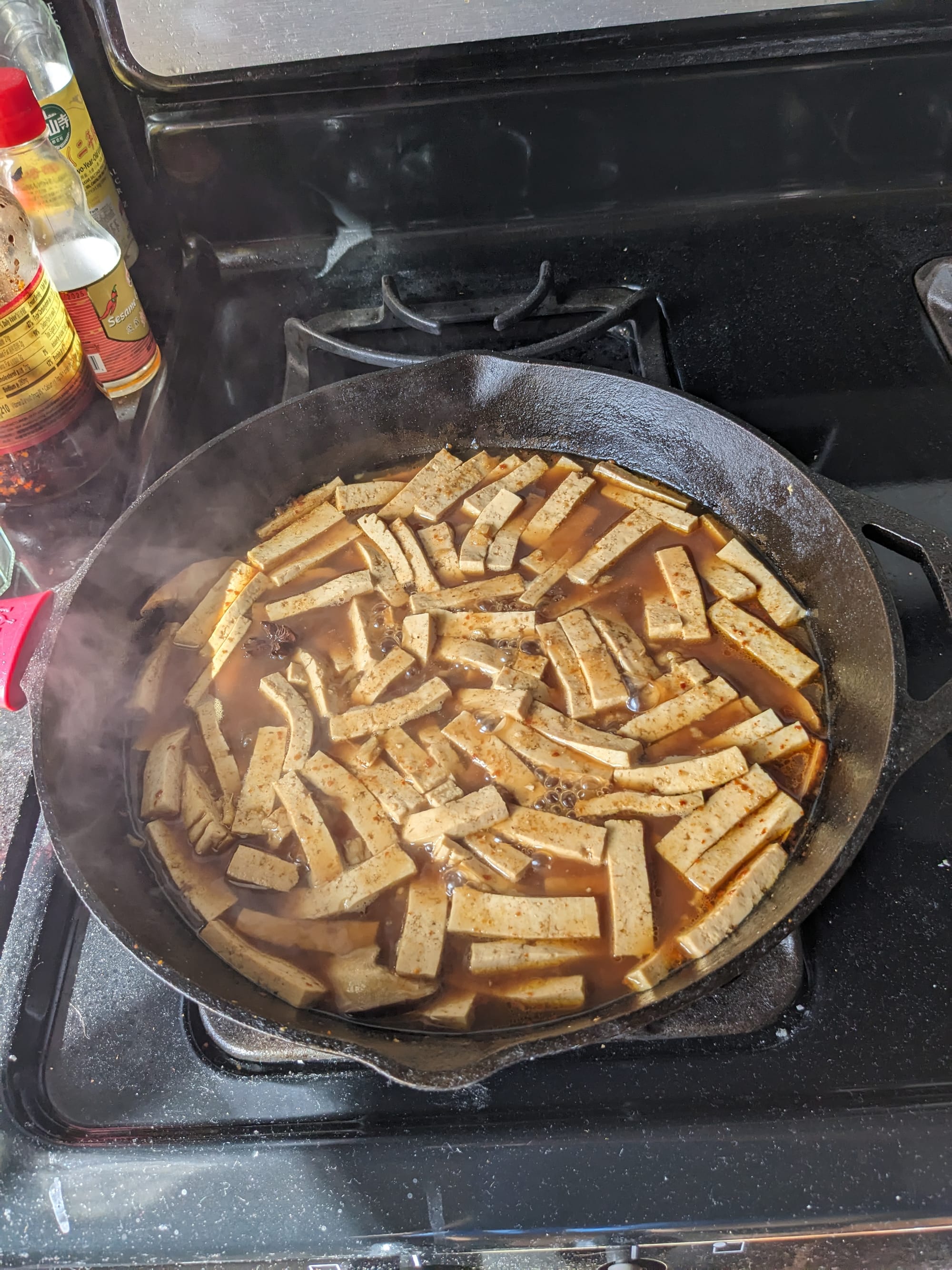
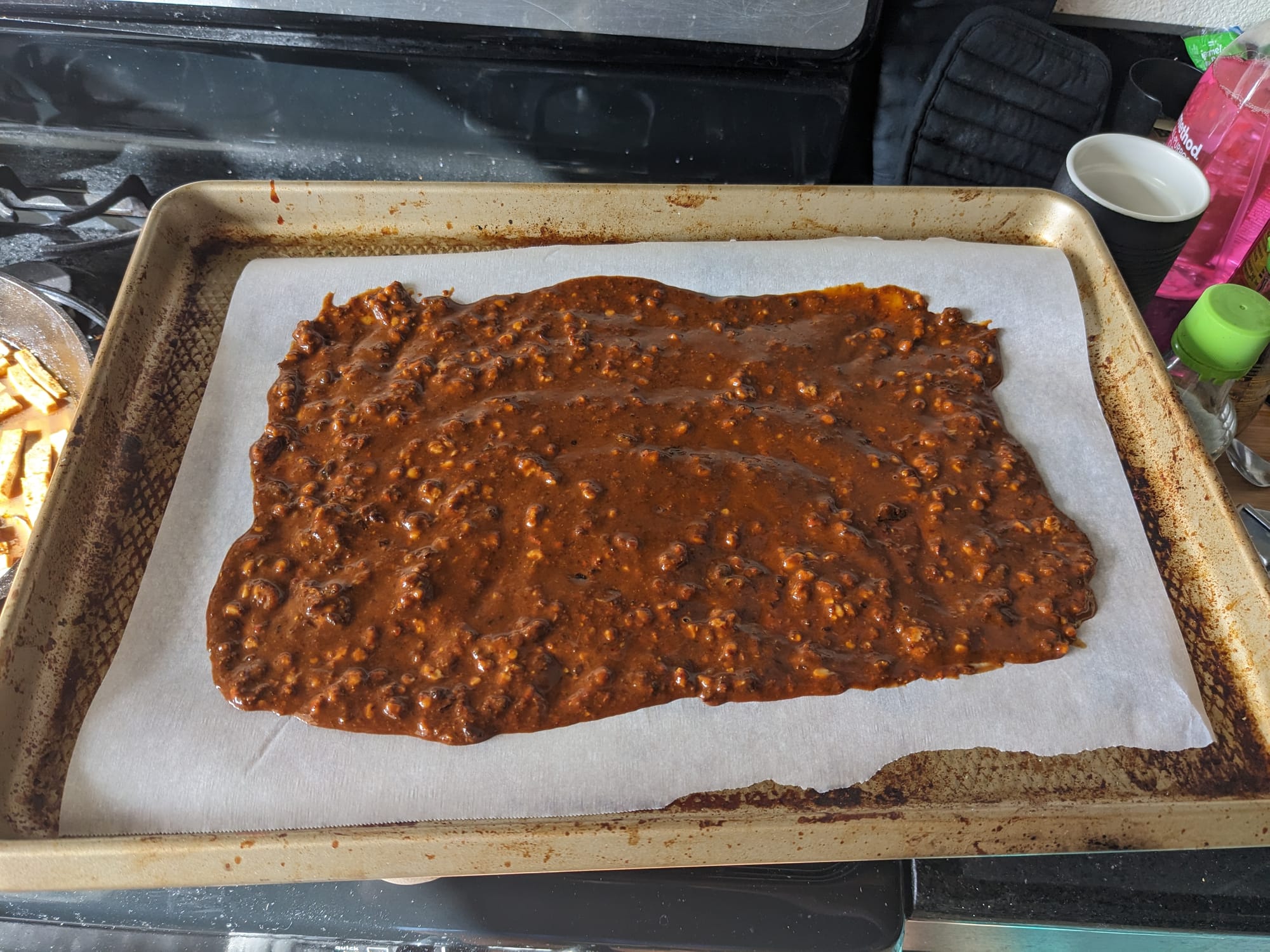
I want to level up my skills quickly, so every time I've gone camping this year I've tested things out for future, more advanced trips. So with this in mind, I decided to experiment with making my own dehydrated meals. There are lots of recipes for backpacking meals online, which all basically involve hours and hours of drying things out in the oven (or a dehydrator if you've fully committed to the lifestyle).
Here's some tofu and spicy peanut sauce that I dried in the oven. These came out surprisingly well and I enjoyed some pretty tasty noodles my first night! I also dehydrated some Soyrizo to add to boxed mac n cheese, and to go with some dehydrated Just Egg and potatoes for a breakfast burrito. Having vegetables on the trail was a fancy little touch too; I've come a long way from surviving on Clif bars and vibes.
So much stuff
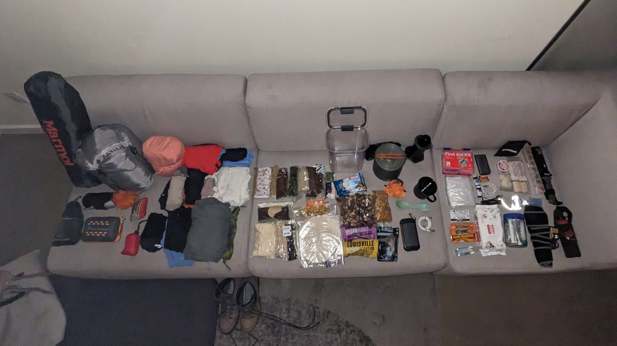
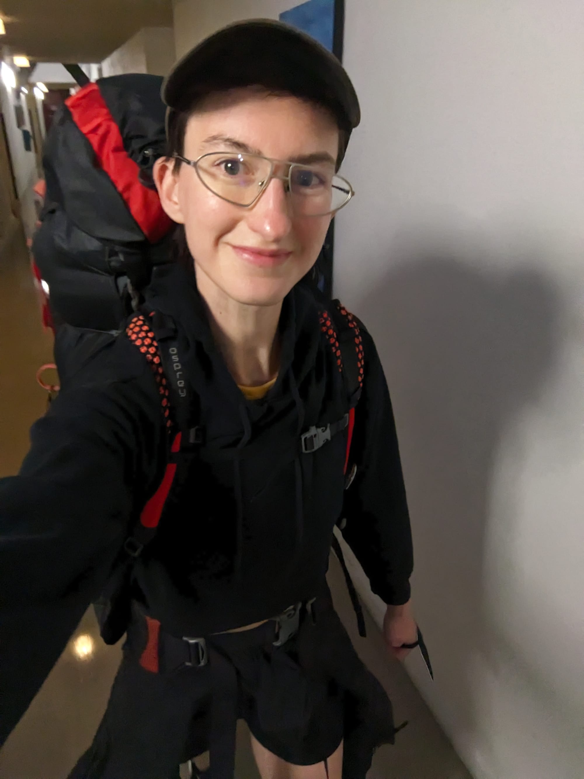
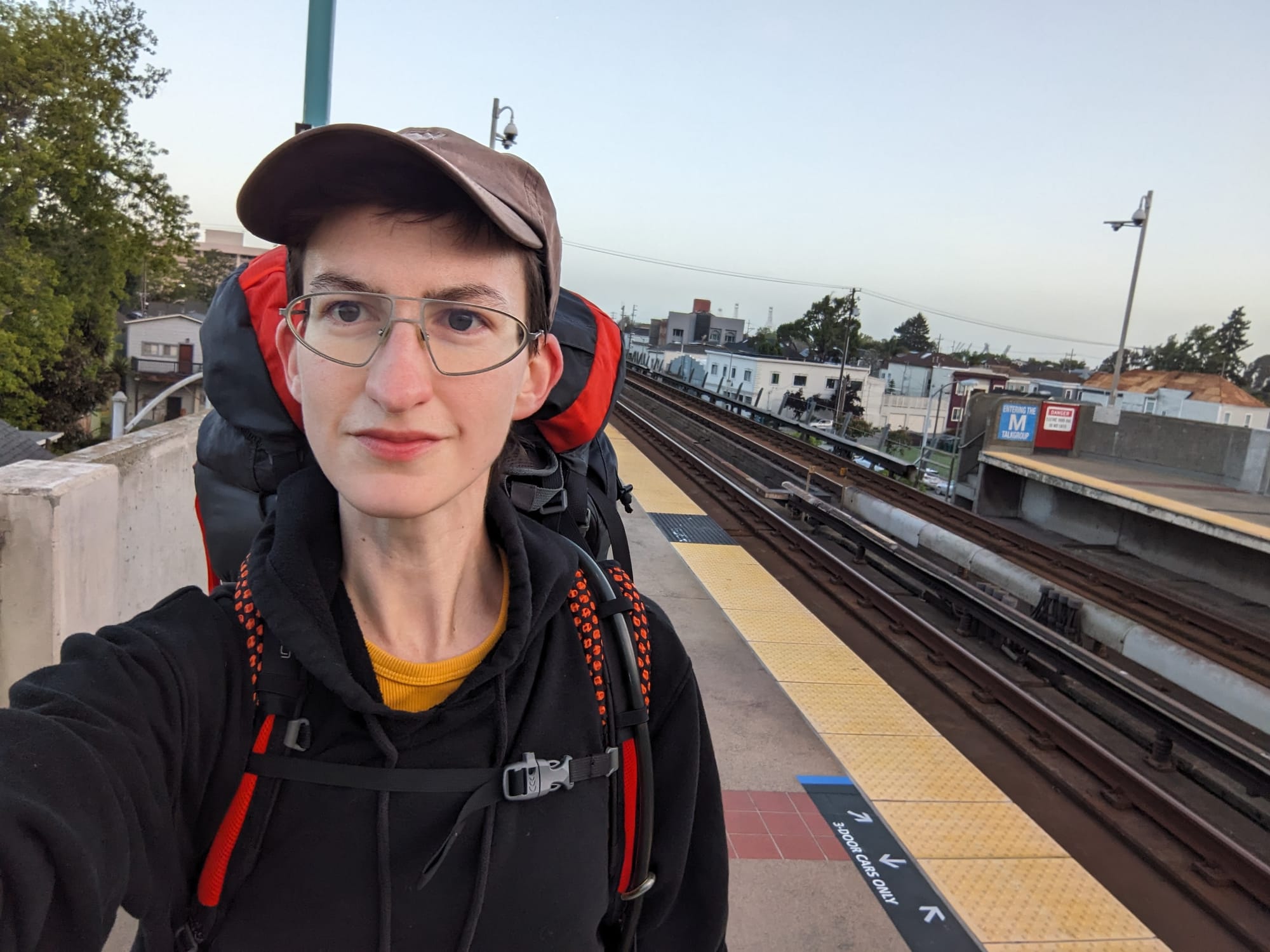
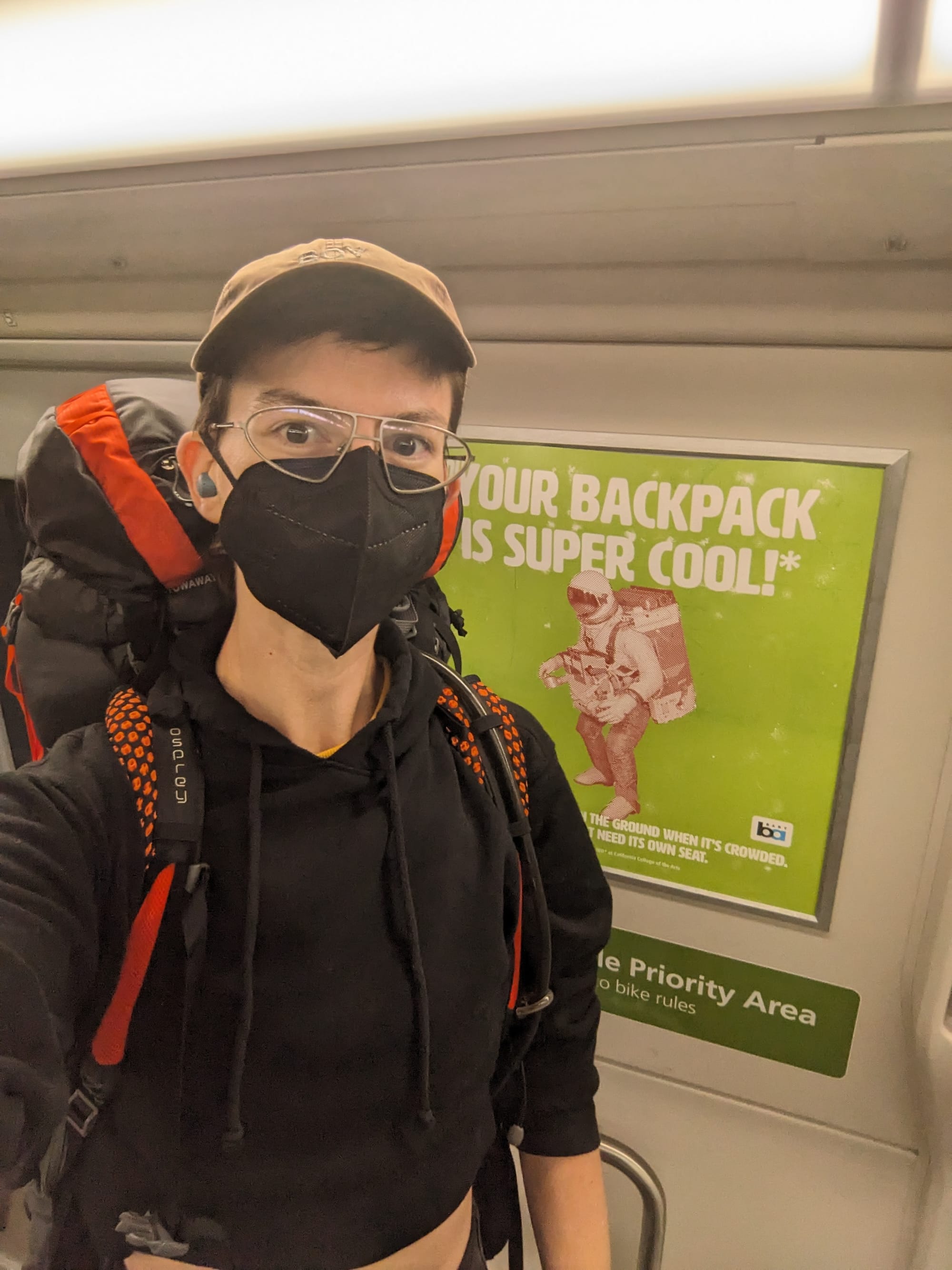
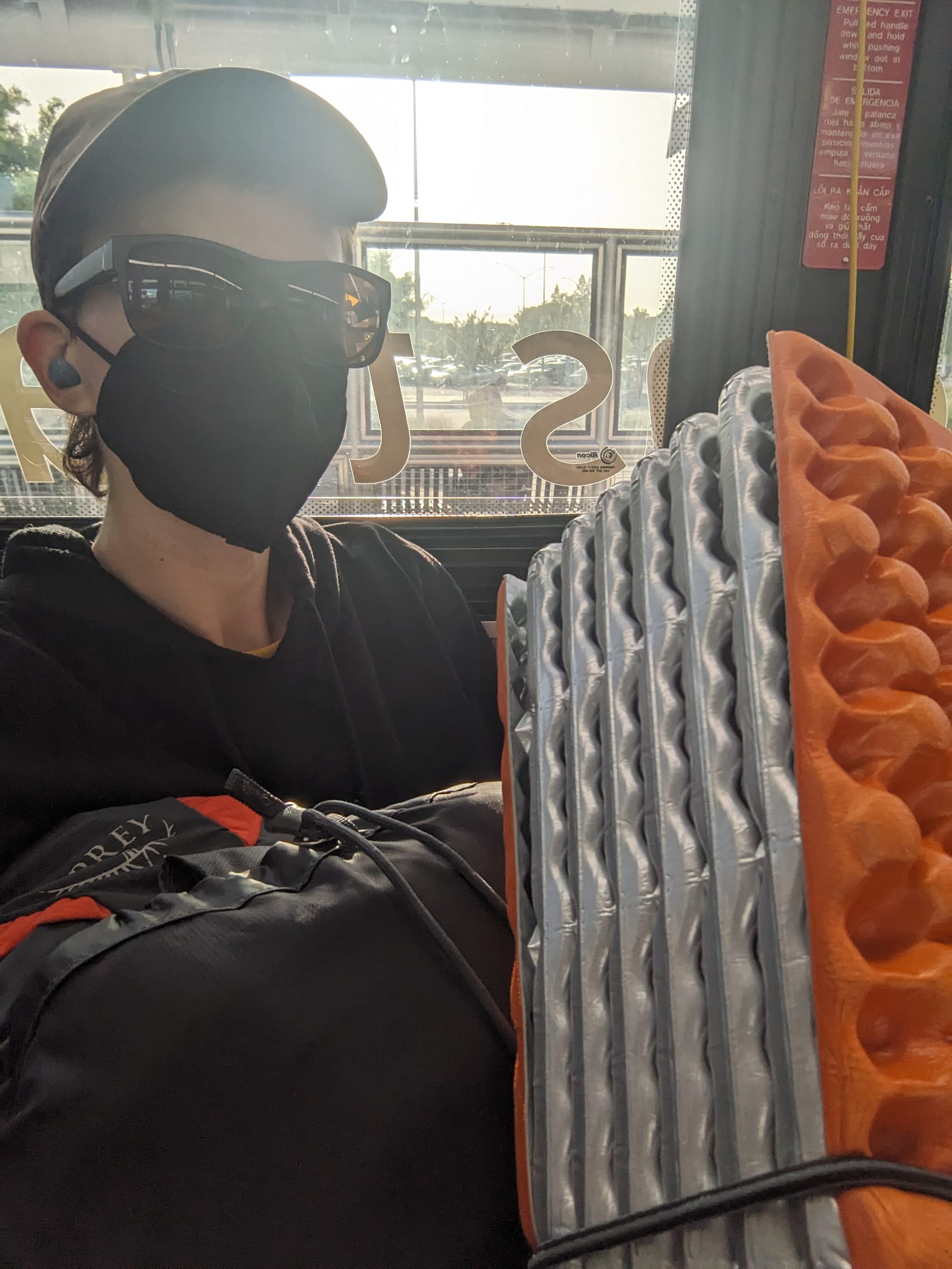
Ultimately, I probably ended up packing too much. Since this was my first multi-night trip, in the backcountry, solo, I brought backups for all critical items. I also decided to give myself the luxury of clean clothes every day since I would have so many other new inconveniences to adjust to. The bear spray and survival knife may have been overkill, but made me feel better about any possible scary animal (or dude) encounter. This is 2x as many weapons as I normally have on me at any given point and I laughed every time I remembered how armed to the teeth I was on my cute little nature walk.
After my trip I made notes on what to leave behind next time, but the one thing I was very happy I "splurged" on weight-wise, and will do again, was a small fleece blanket. I am a tough guy until it comes to the cold!
Getting there
I am stubborn, obstinate even, about taking transit to all of my outdoor adventures. There is no transit to the park itself, but I could get as far as downtown Morgan Hill, a smallish town right at the edge of where Silicon Valley turns into farm country, and a few miles west of the park entrance. I took a train, to a bus, to another bus, across multiple counties and transit agencies. I had a comical amount of stuff attached to me, and it was very funny doing all this during peak morning commute hours.
I sat in downtown Morgan Hill across the street from an old movie theatre with something like Morgan Hill Loves Cops And The Troops on the marquee, and called an Uber. I wasn't sure if I'd get any takers at all, considering it's a winding 30 minute drive up into the hills, but my ride was accepted pretty quickly. My driver had lots to talk about, and was very excited about the eco tech project he was working on in his home of Colombia.
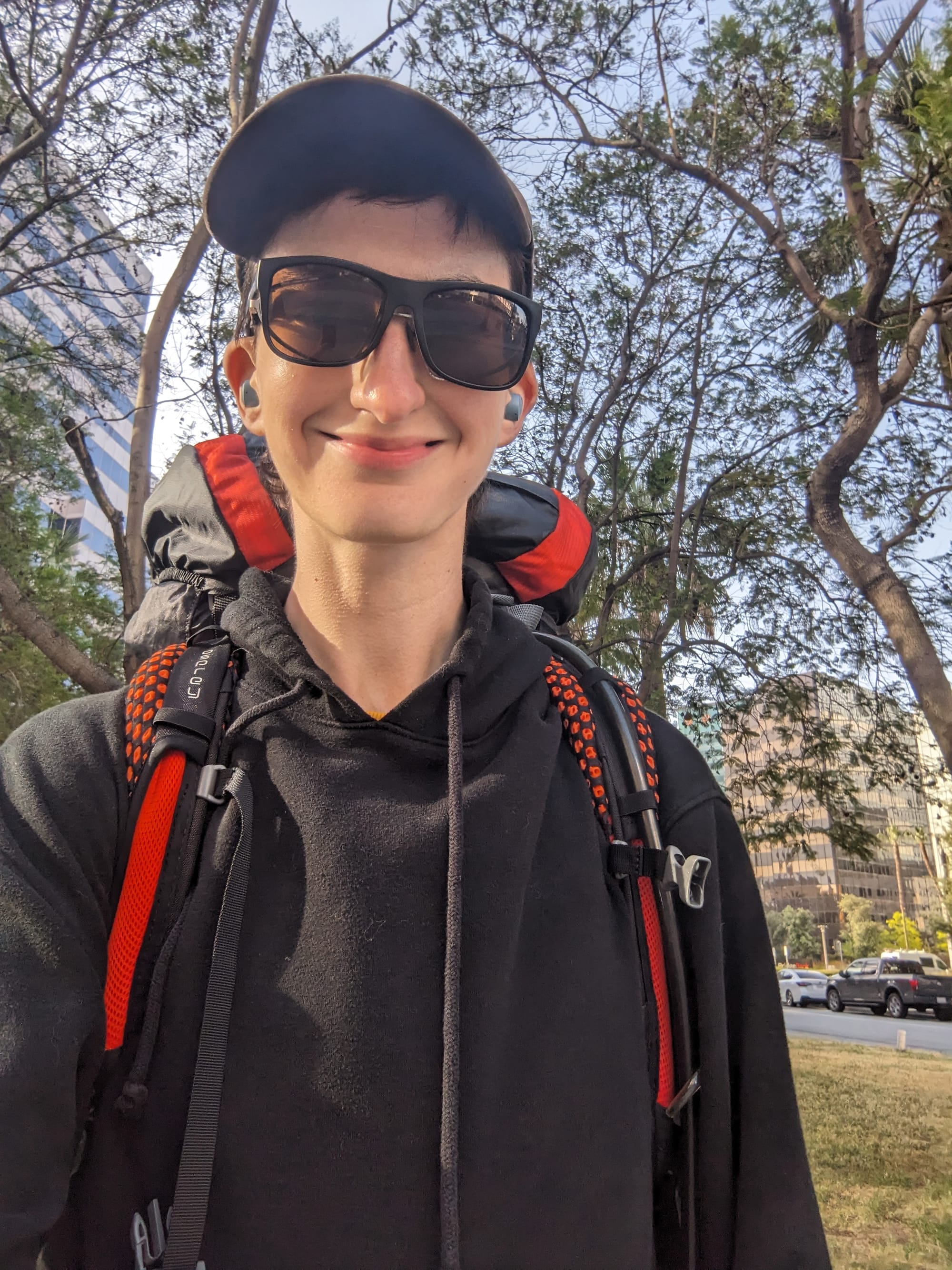
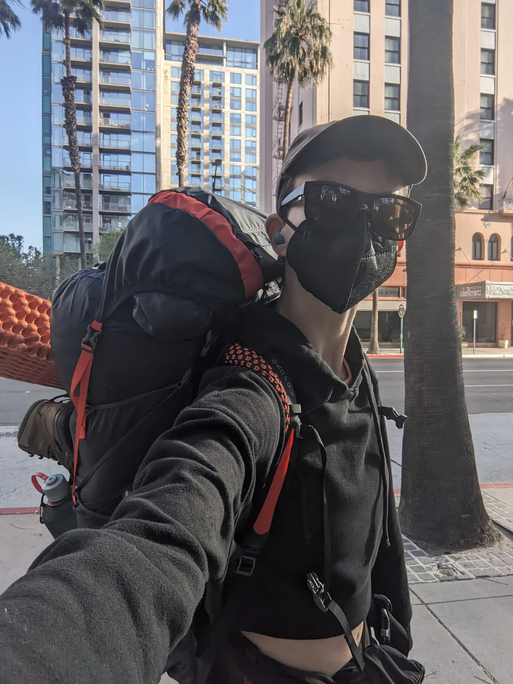
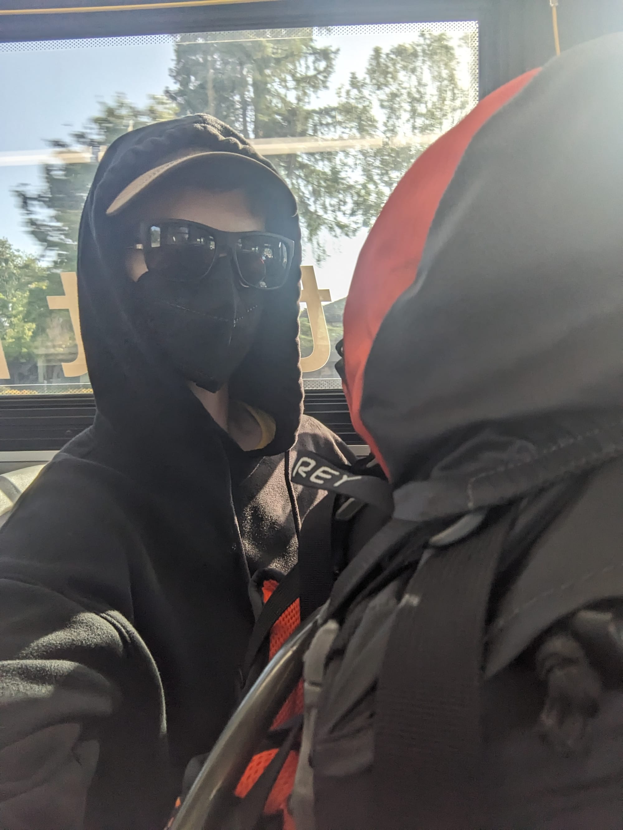
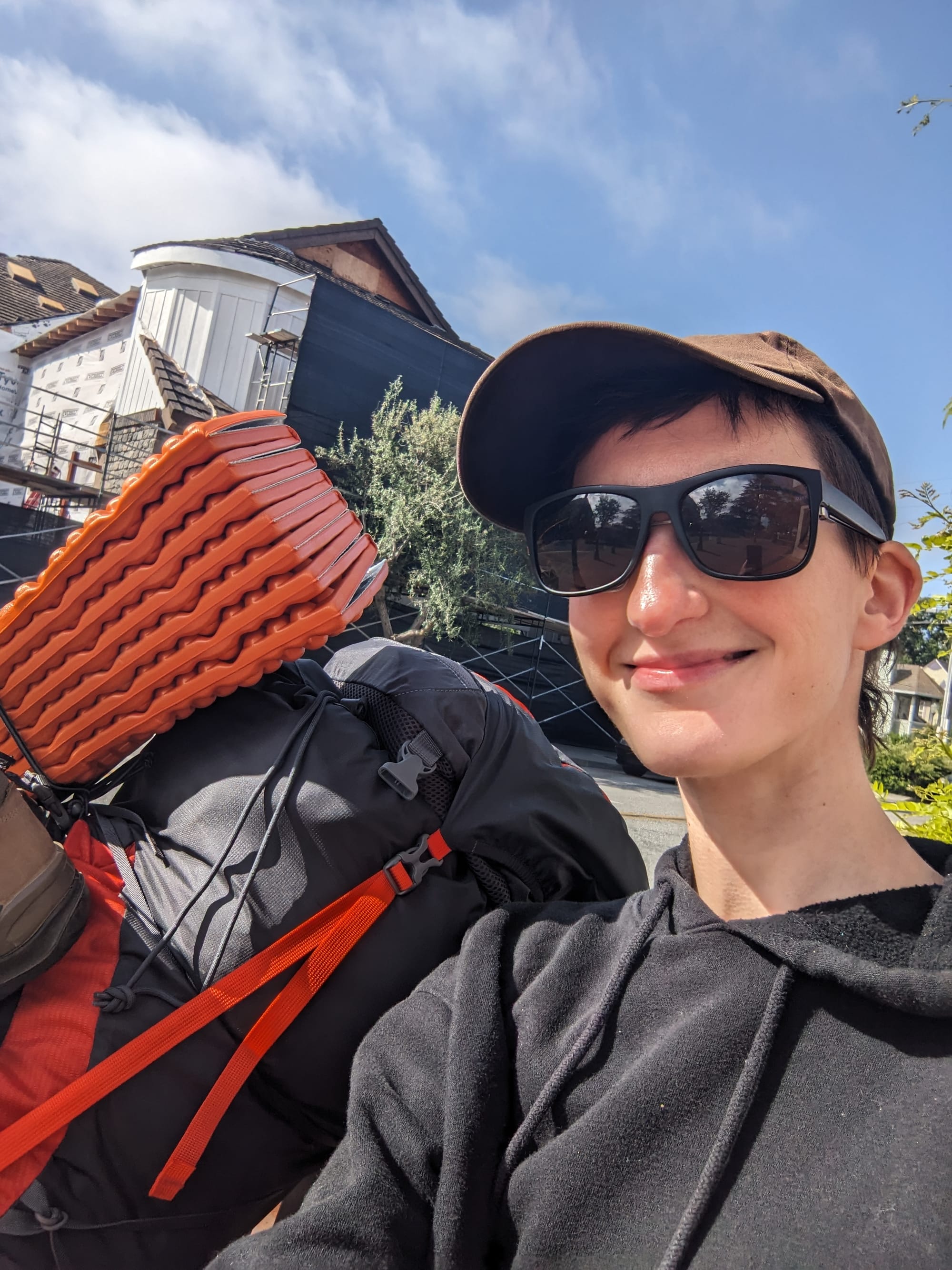
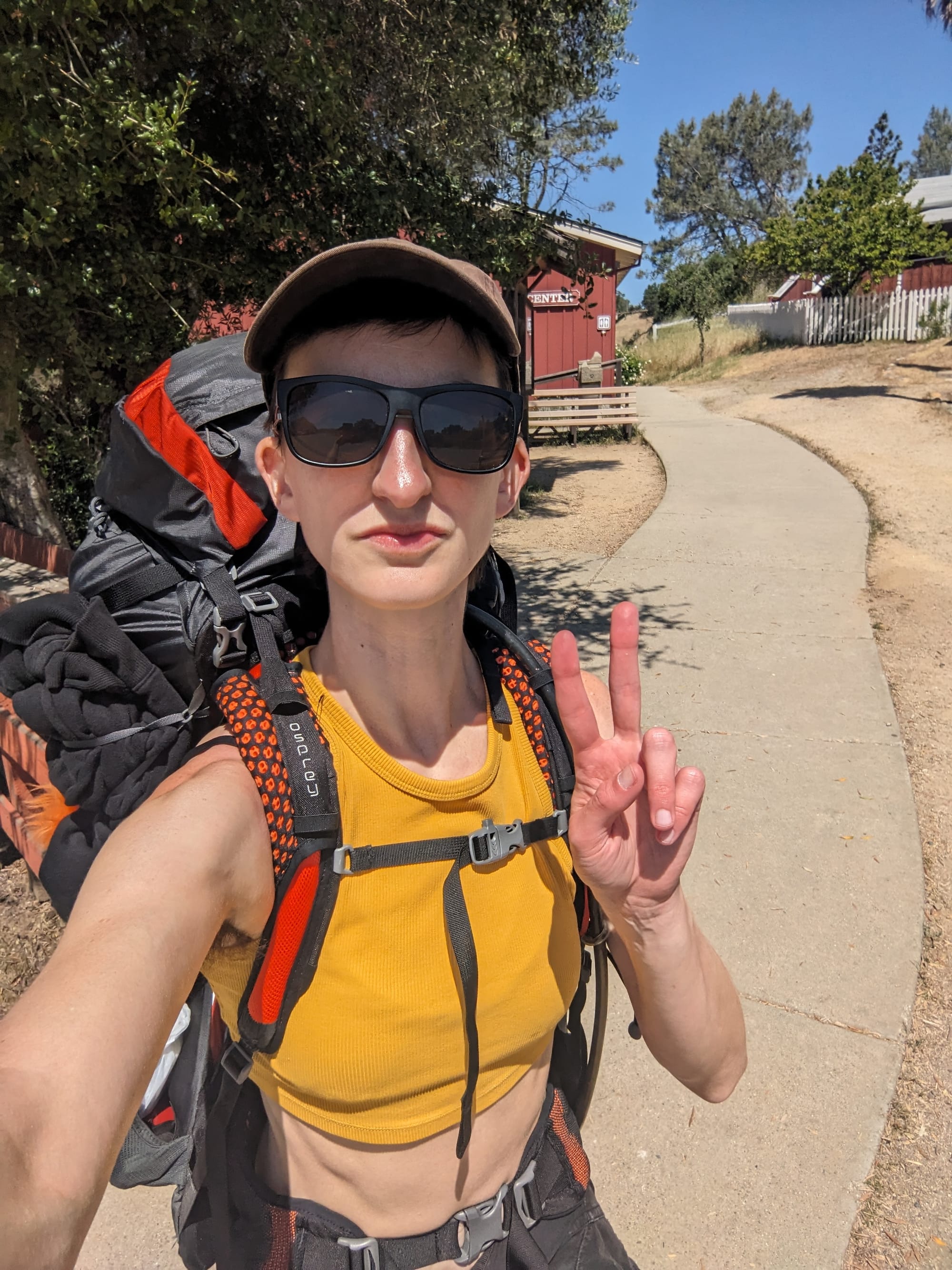
I finally arrived at the cute little visitor center, and had a great time talking to the two older park ranger gentlemen working the desk. They were excited by how excited I was, and one of them pointed out a ton of stuff on the big wall map. I paid the $5/night camping fee, and bought a Nice Big Map of the park, and told them about my overly ambitious itinerary (this is foreshadowing). They asked if I knew how far my first night's destination was, and I assured them I did, and was probably a little cocky about it. They were ultimately kind of like "well, good luck!"
I set off on my long first day of hiking, and was immediately put at ease by the familiar landscape. I'd been here before, even if I hadn't been here before.
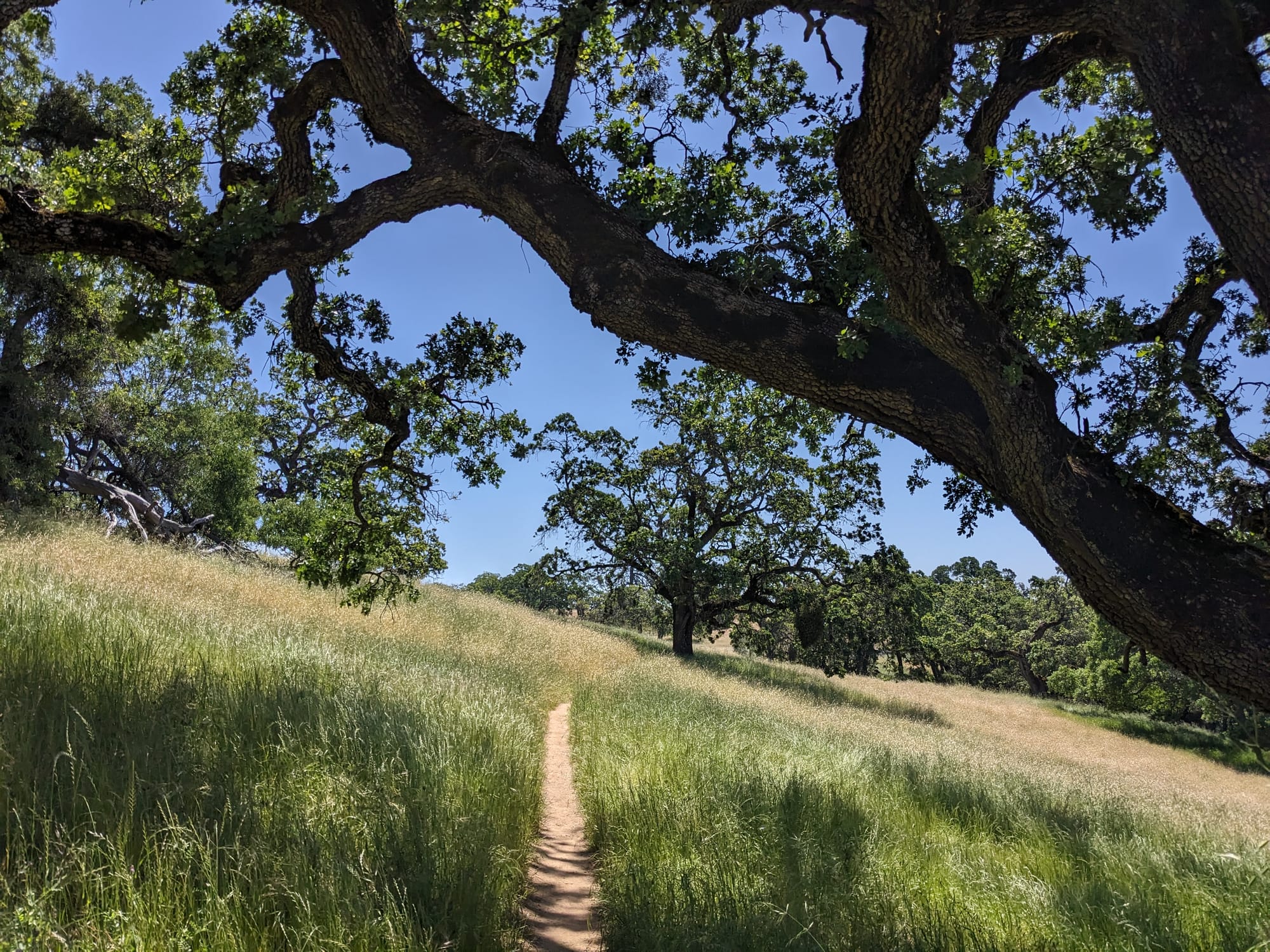
The wildflowers, also a familiar sight, were still going strong in late May. May is a great time to be in the Diablo Range because that is when the many varieties of mariposa lily are blooming.
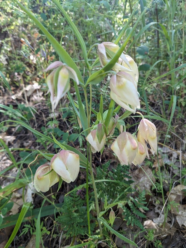
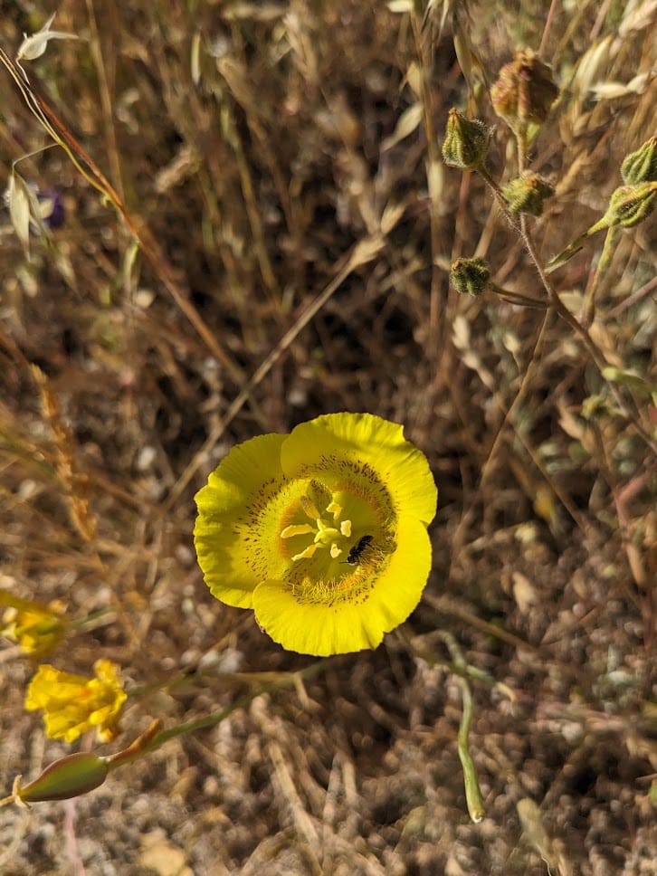
Two different varieties of mariposa lily
The Narrows
This is the first part of my trek where I really underestimated this park. I knew this place was huge. I knew I had a long first day with a lot of distance to cover. But when I was planning my route, it looked like just a bit of descent and then a chill several miles of walking along a creek. After all, "creek" in most Bay Area parks tends to mean trickle in the wet months, and dry rocks most of the year.
Bear Valley Trail on Point Reyes, which I've hiked many times, could also be described as "a trail alongside a creek", and it looks like this:
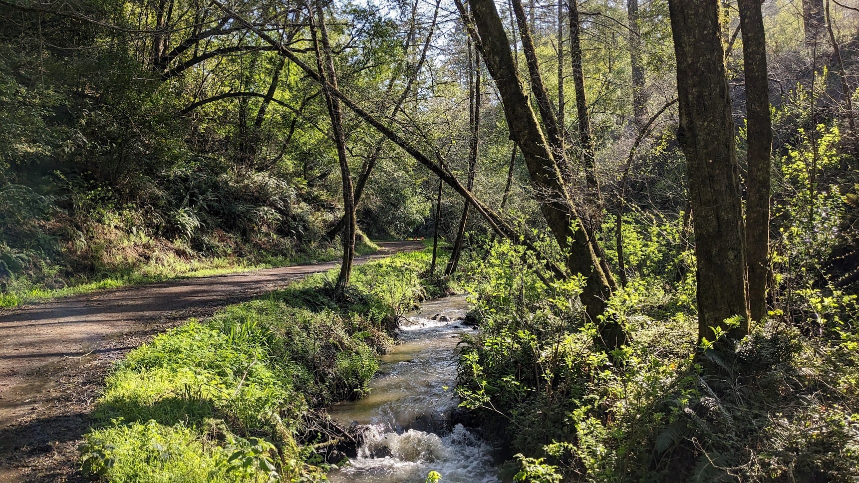
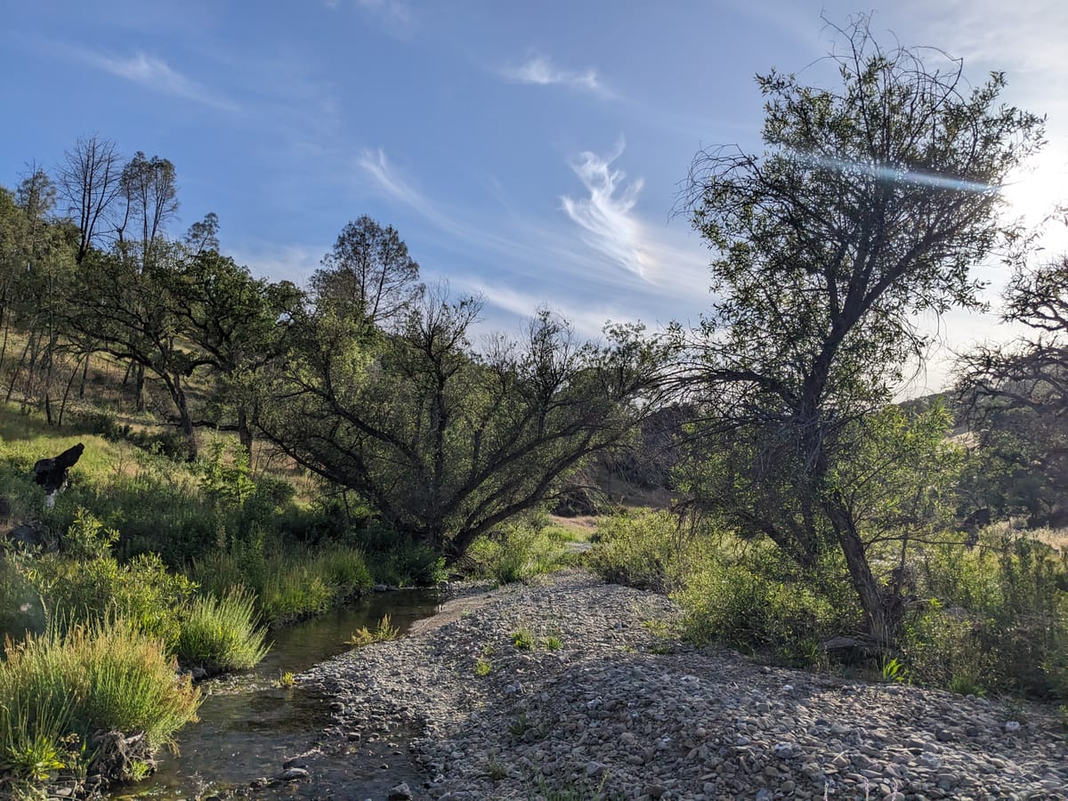
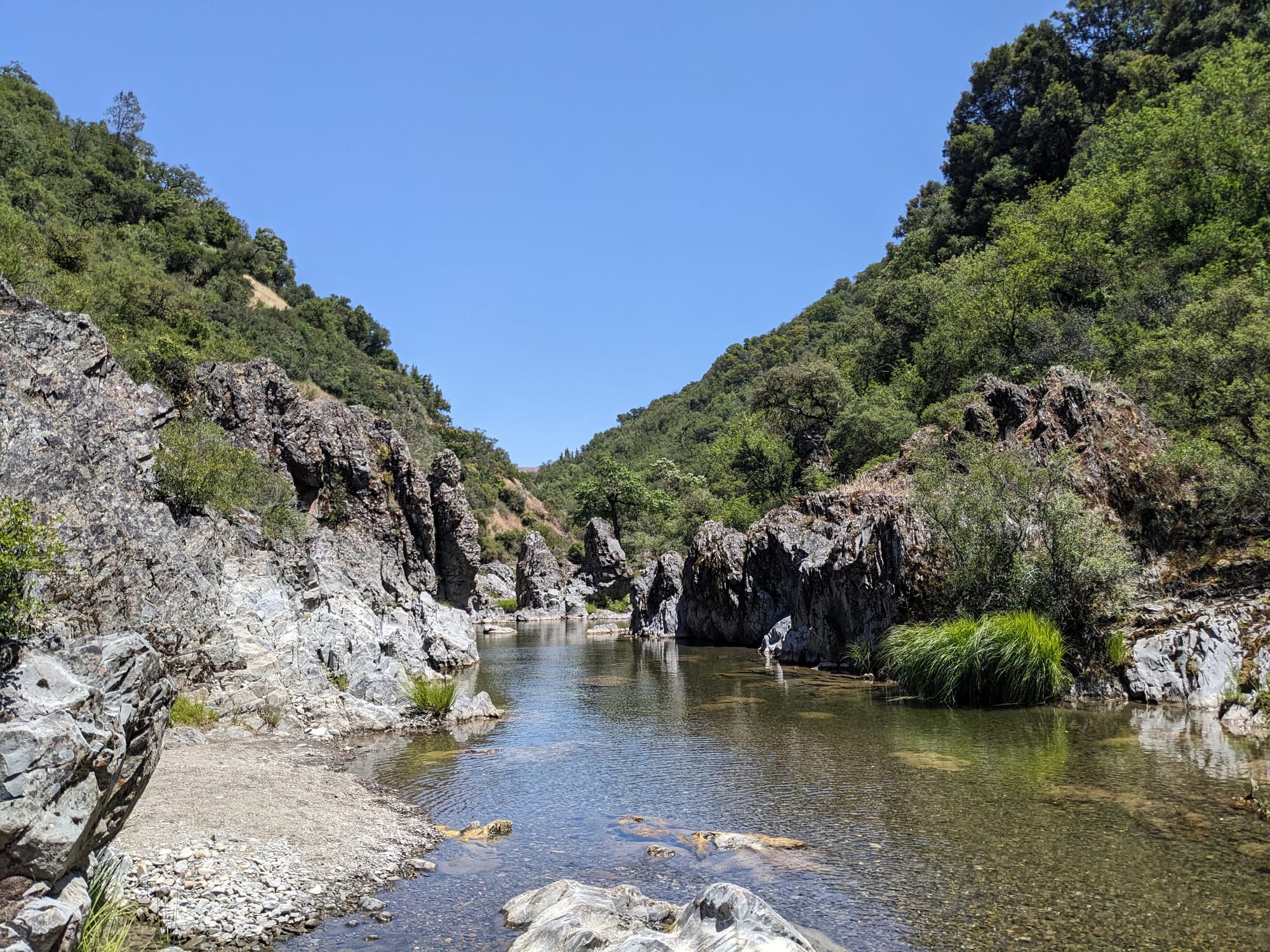
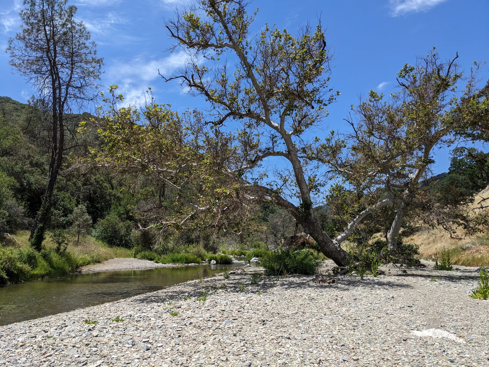
What I found was way more challenging and beautiful than anything I anticipated! No meandering single track following a small stream. Instead, a steep, narrow valley, with a full and healthy creek full of fish and tadpoles, and hardly a trail to be found. I panicked a bit at first, because I kept losing the trail, but I eventually started to pay less attention to AllTrails, consulted my Big Map, and realized I was just going to be following this creek for a long time. Turns out the "trail" was more "however you can get around over or through the creek".
I eventually relaxed and kind of enjoyed the challenge, and accepted that my boots were just going to be soaked for a lot of this trip. It was a slow-going obstacle course, all while trying to balance a giant backpack and not drop any electronic devices in the water. And there's just no possible way to walk quickly over those river rocks.
I didn't see a (human) soul for this entire stretch, and it's where I really got in the right mindset for the rest of the trip. Be calm, use your brain, embrace unexpected conditions, and keep in mind how lucky you are to be in a place this beautiful and expansive.
Climbing and Heat and Decisions
I was pretty tired from a few miles of negotiating the rocky creek bed with my heavy backpack, and my heart sank a little when I realized it was time to go Up. I knew I had a "little" "hill" to go up and over, and wasn't looking forward to it. I set off on a grueling climb up steep old ranch roads (which were graded for vehicles, not people) and watched the creek disappear into the distance. This is the second time I became aware of just how large this place is/how brutal the heat is with a giant backpack/how steep these old ranch roads are.
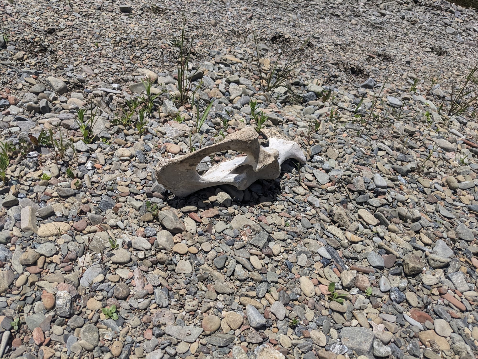
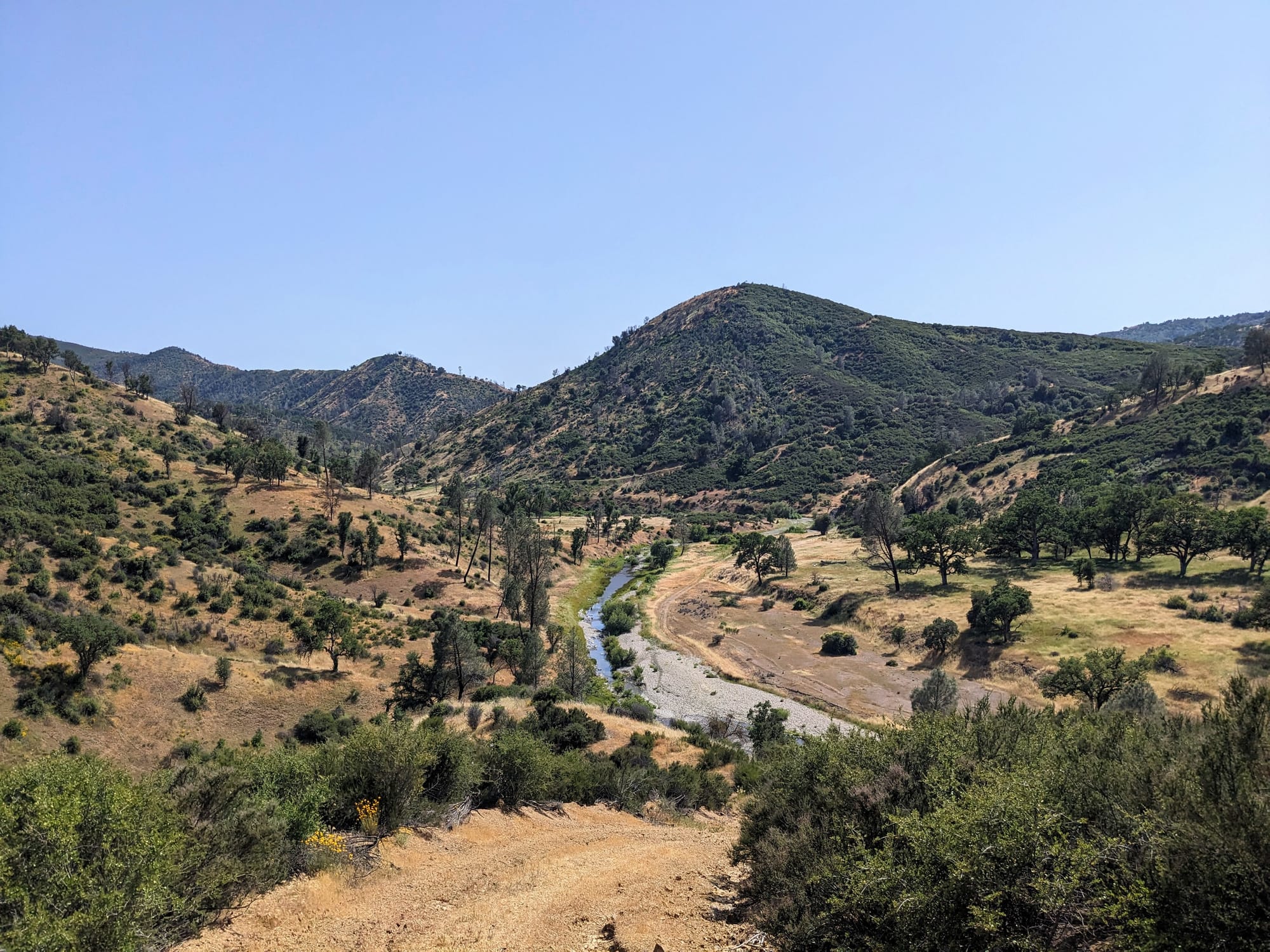
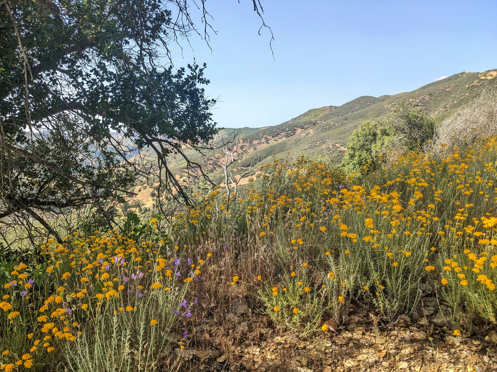
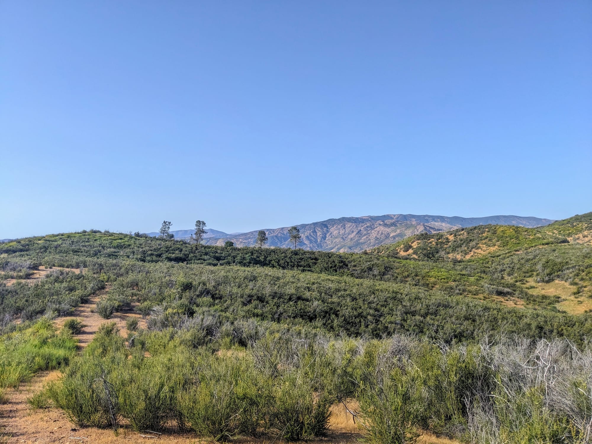
I climbed up and up, stopping frequently to cool down and catch my breath. This hill was much larger than I expected, and once I got closer to the top, I noticed something on the map. I hadn't noticed a small square of private property cutting off the trail until I looked closely at the paper map. If it had been larger, I would've assumed it was ranch land or something and I might have been Bad and snuck through. But with it being small and on top of a hill, I feared it might be FAA related or something like that, and the terrain was way too steep and dense to go around.
I kept going, and finally came up to a trail junction. I had less water left than I would have liked, and there would be none to be found up on the ridgeline. Looking at the map, I realized that turning off on a different trail meant I wouldn't reach my original destination, but I would be heading down towards a stream. I decided to play it safe, and headed down the offshoot trail.
First Night
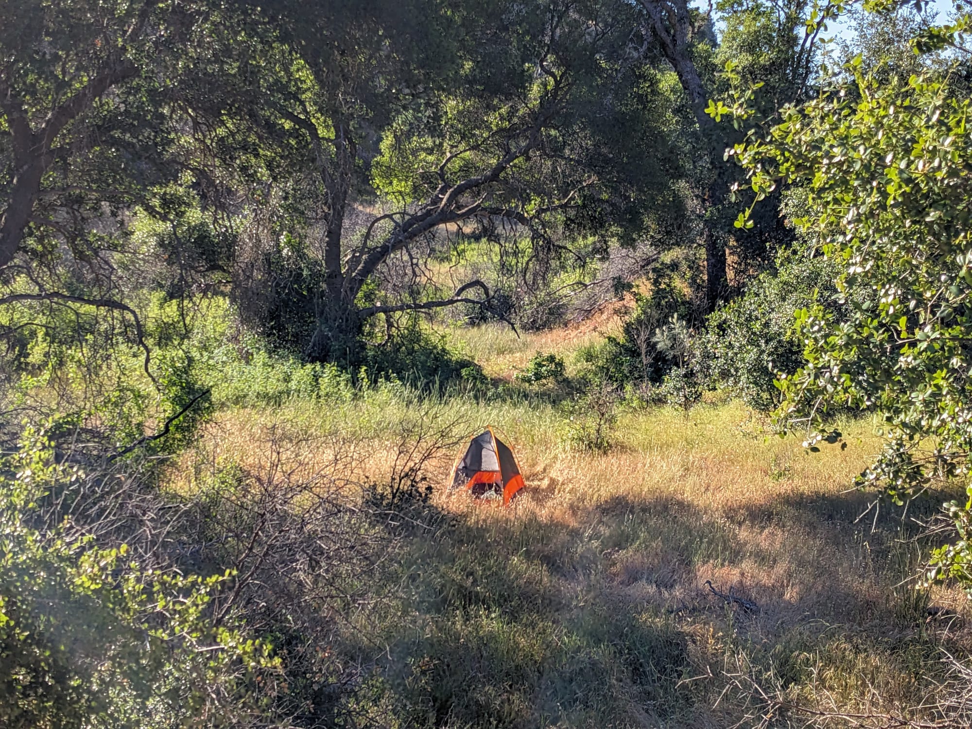
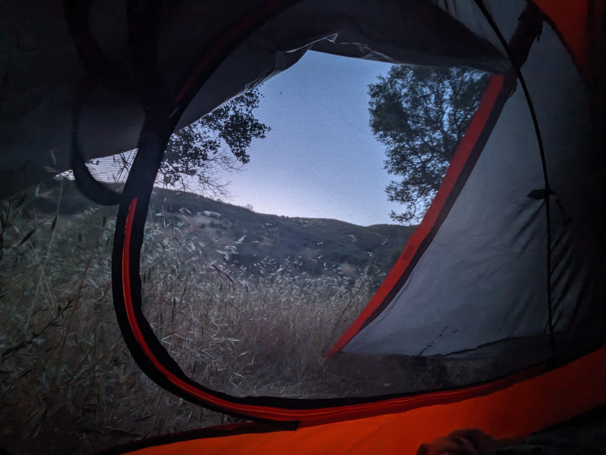
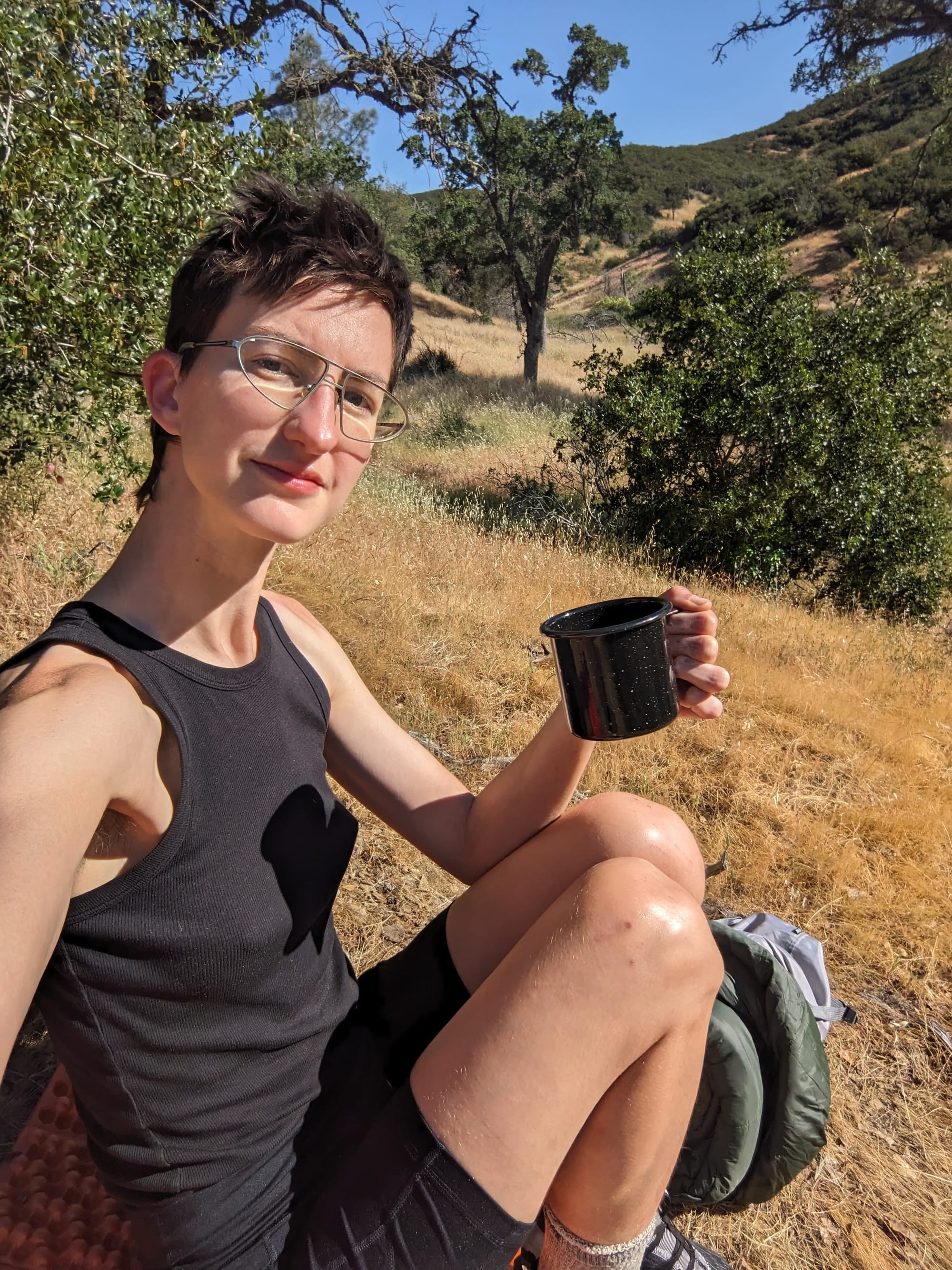
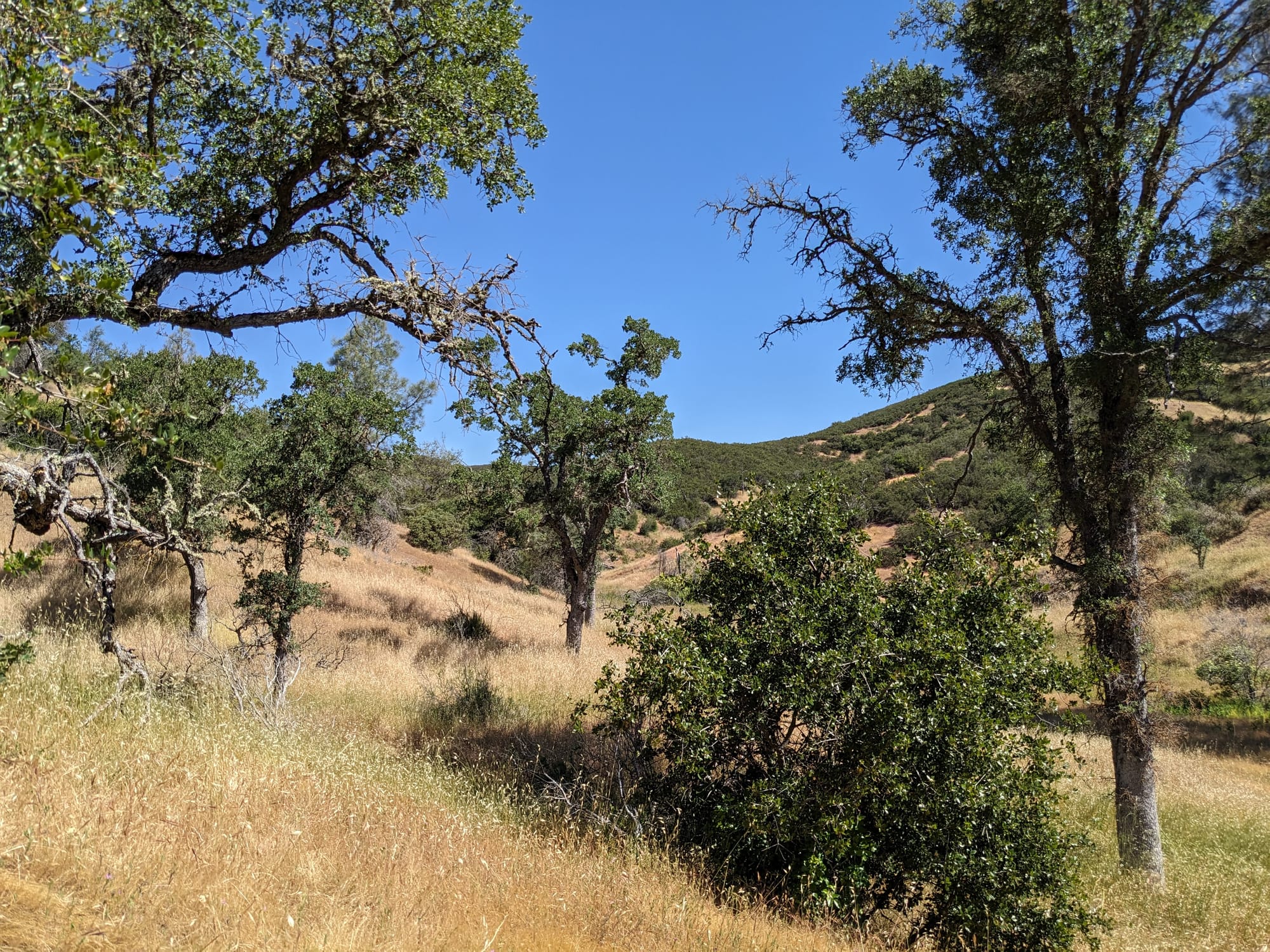
The sun was disappearing behind the mountains quickly and I was beyond exhausted, so after trying to reach some spots that looked good on hills that turned out to be too steep to even climb, I found a nice flat spot in a meadow a ways off the trail. It was extremely peaceful, and I got some of the best sleep I've ever had camping. I had relaxed morning packing up camp and drinking my coffee, and got to watch a deer run running across the hill across from me, completely unaware of my presence.
Willow Ridge
I hiked past Mississippi Lake, and gathered water. Then it was time to hike along Willow Ridge for several miles to reach my campsite near the top of a hill.
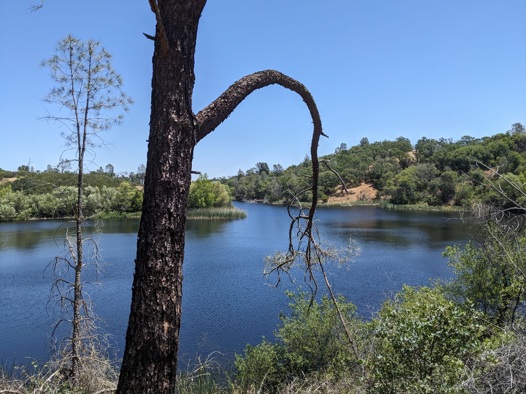
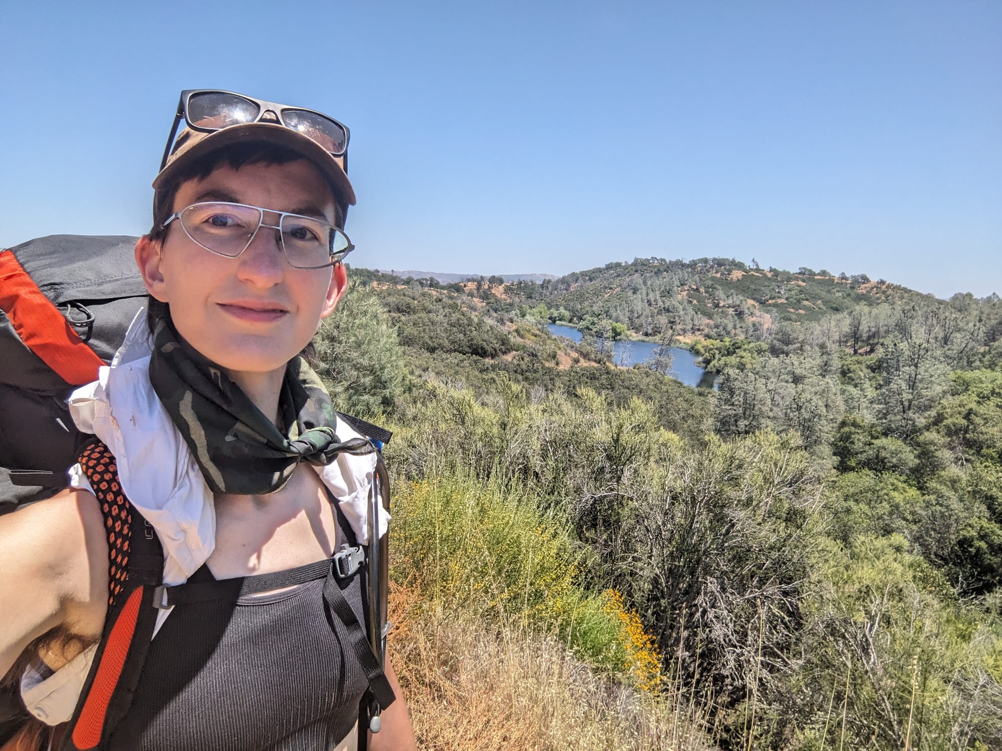
I love hiking ridgelines, especially those in the Diablo Range, with its small, steep hills and relentless ups and downs. It's fun to be able to see for miles, and visually spot your destination in the distance as you make your way towards it. This trail reminded me a lot of Las Trampas Ridge Trail, one of my favorite hikes in the whole Bay Area. Except this one felt as if it had been scaled up 150%. Like Las Trampas, and the miserable hill from the day before, this trail is an old ranch road, going right up and over the tops of hills with no switchbacks.
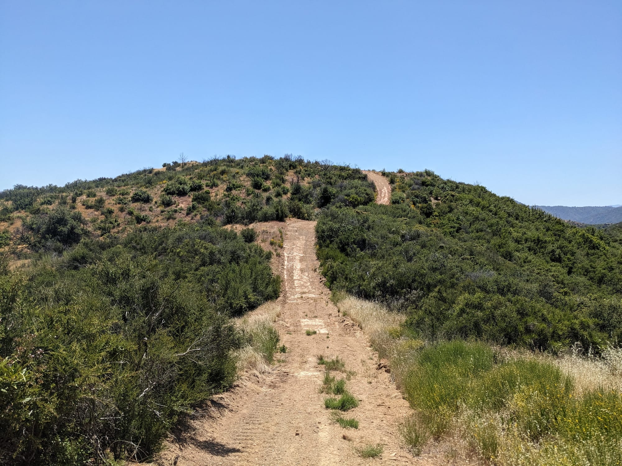
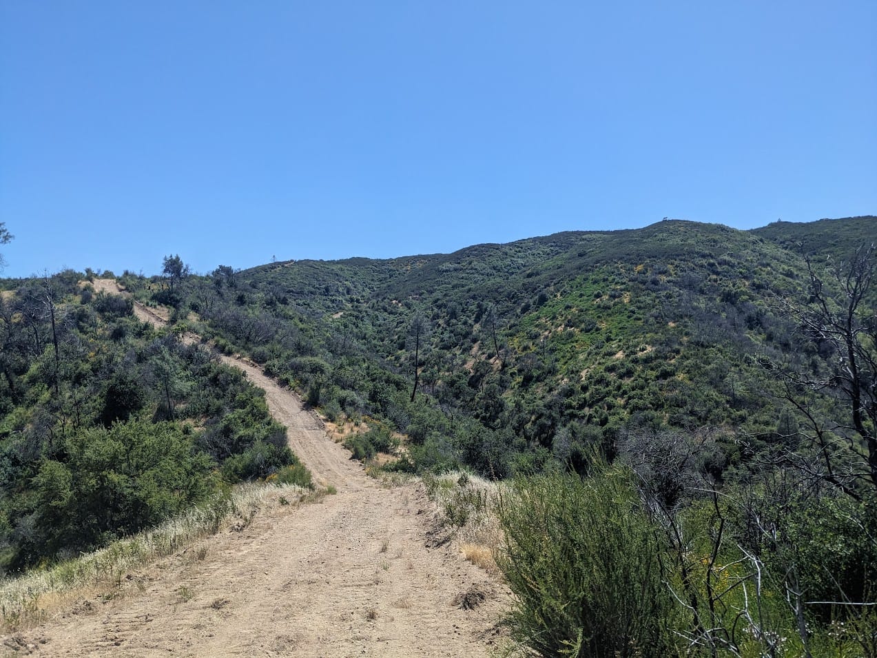
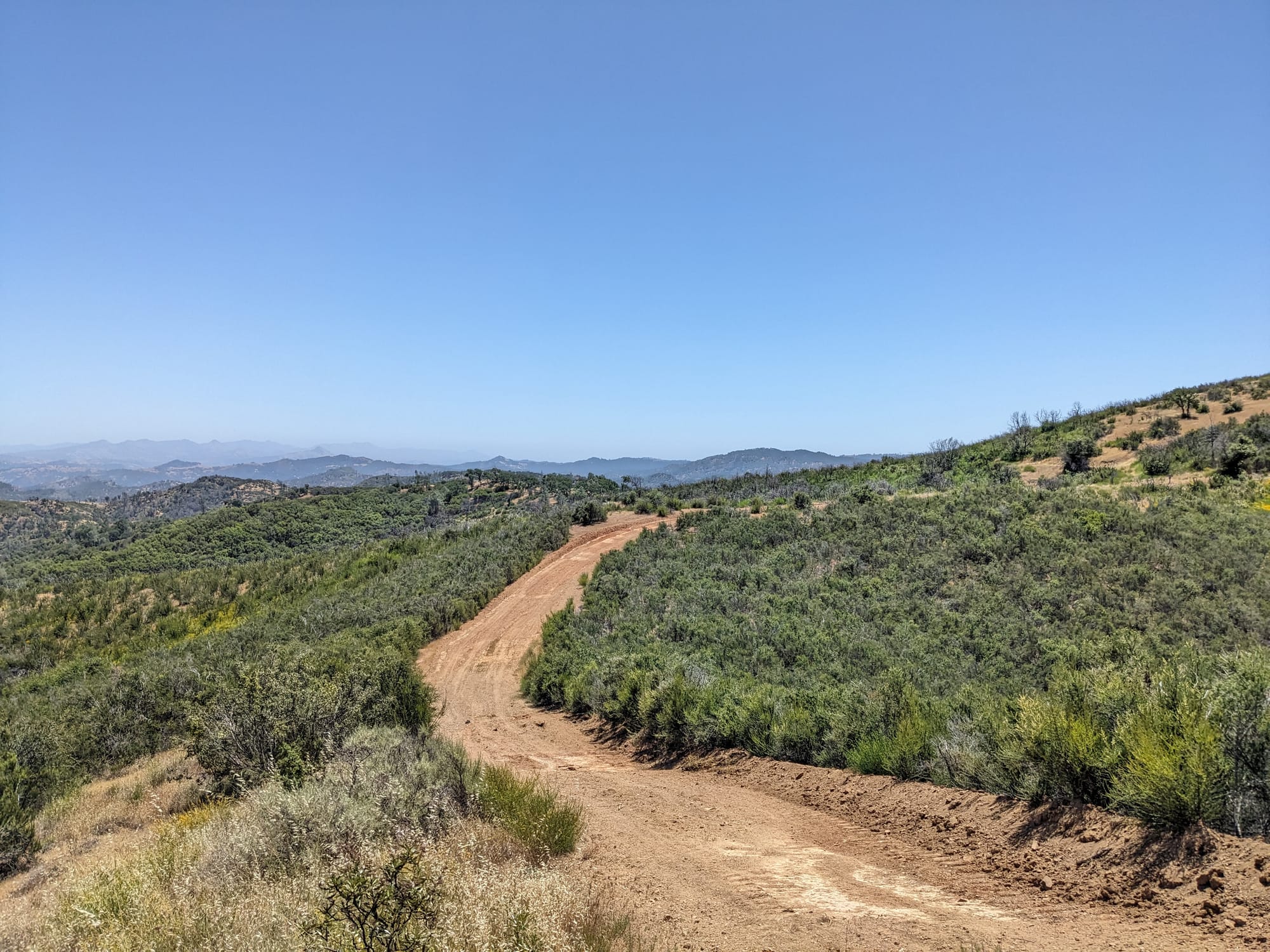
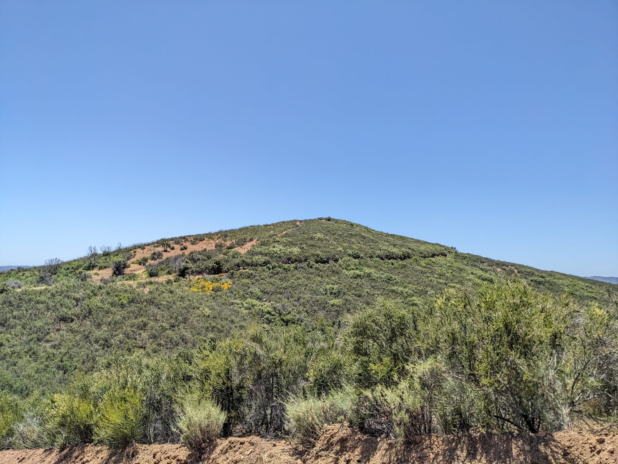
It was steeper than it looks I swear
The views were spectacular however, and this was some of the most peaceful hiking on my whole trip. I was VERY tired and sore, and my lack of upper body strength was starting to catch up with me. Somewhere along the way I stopped and texted Atomly, asking if we could go get a nice breakfast Saturday morning after I got back. Just so that I could emotionally continue.
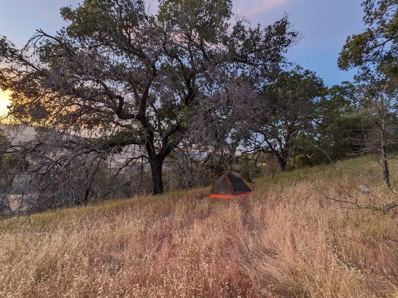
Eventually I made it to the campsite. There were two spots on the map. I passed up the nice, flat dirt spot and went for the one underneath a big oak tree. It really only existed on the map, so I set up my tent in a spot that looked like it had previously been camped on. I was about to make dinner when I realized I was almost out of water. There was a little manmade spring (small concrete well type structure) at the campsite, but it was full of wriggling mosquito larvae. Yeah yeah, I had both a filter and water purification drops, but I just couldn't do it.
My only other option, then, was to hike down 1000', a little over half a mile, to fill up in the creek. I grabbed all my reservoirs and started off down the hill. I was not excited about this even a little bit, but it was a really beautiful little hike at golden hour.
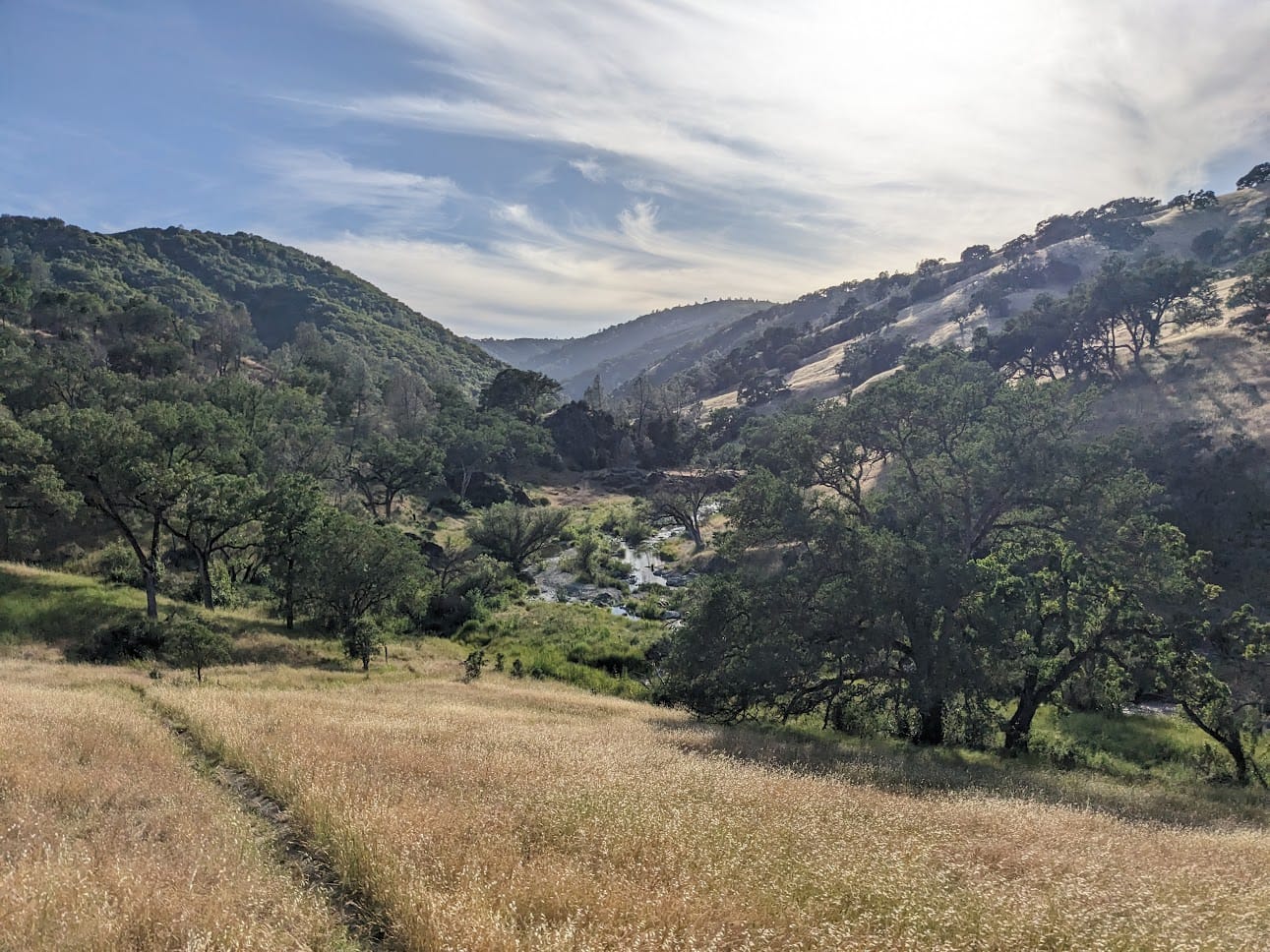
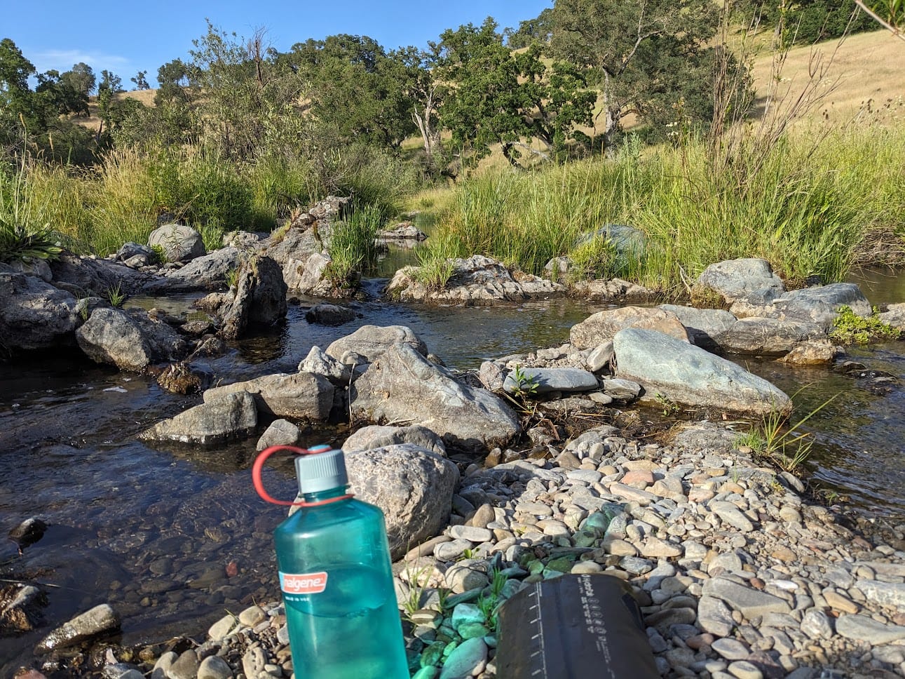
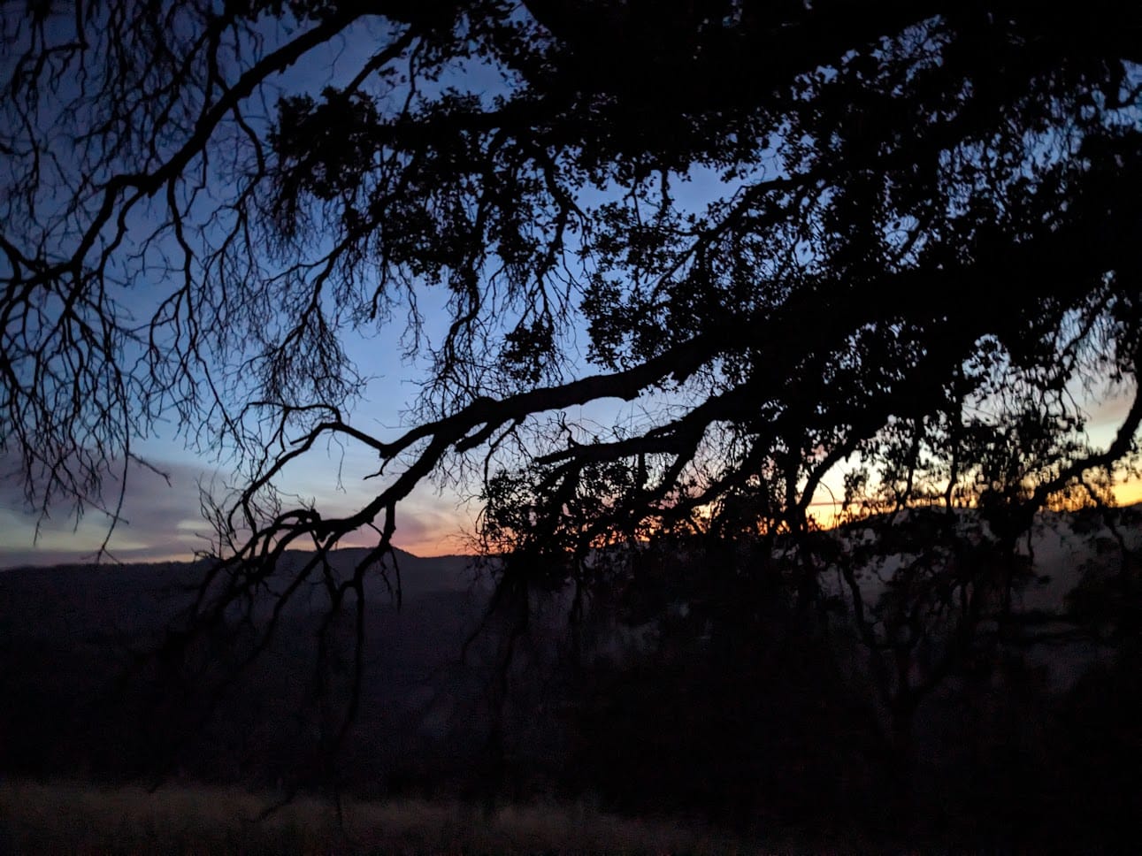
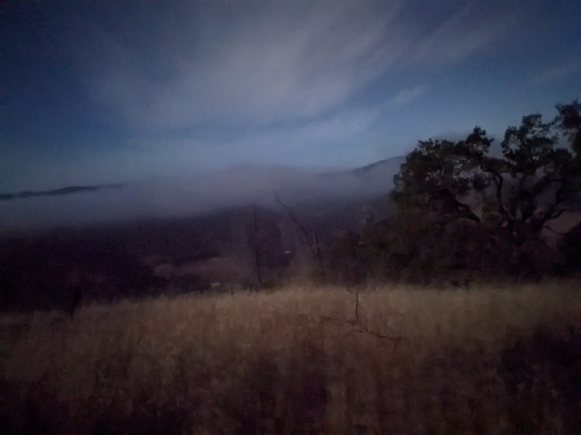
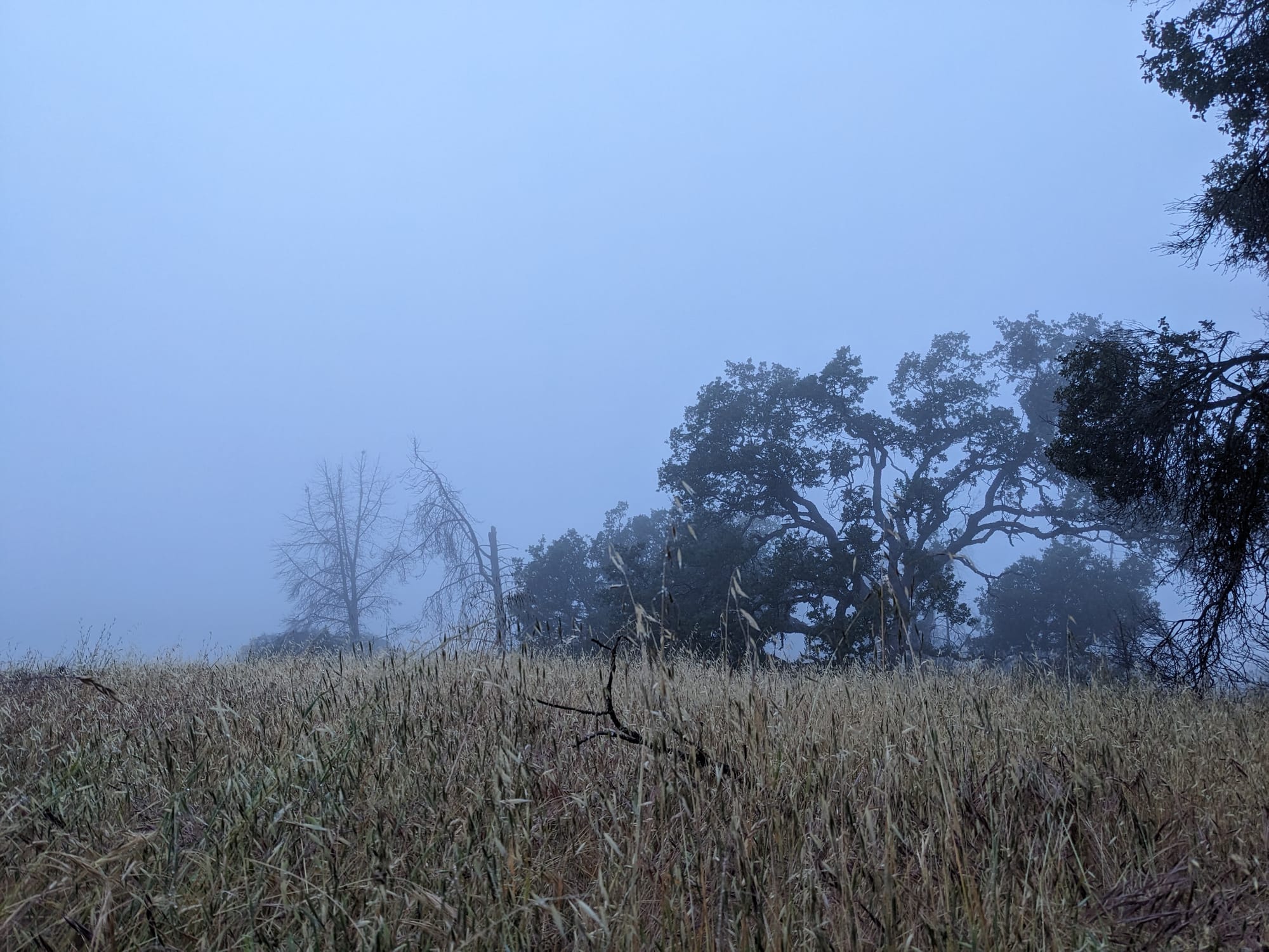
I made it back to camp eventually and had some delicious mac n cheese for dinner, enjoyed the sunset, and went to bed. I quickly realized my tent was on a pretty comical amount of slope, and I could do nothing to stop myself from sliding to the bottom end. I got up and moved my tent to what I thought was a flatter spot, but over the course of the night I gradually slid off what I referred to as "the continental shelf." The fog rolled in quickly, and my tent was getting practically flattened from the wind and pelted with water drops. I guess my waterproofing job turned out okay, because I stayed dry! It was not my most restful night of sleep.
Sada
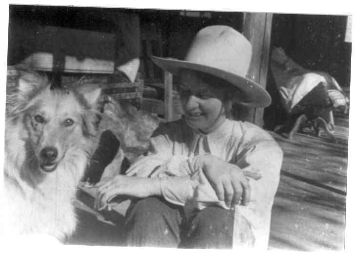
When I couldn't sleep, I was playing on my phone, and for some reason ended up on the park website. I learned about Sada Coe, the daughter of a rancher who used to own this land. She was known for riding her horse up and down the steep hills, "better than the men," and her love of the peaceful and mostly untouched landscape she grew up in inspired her to gift the land to the state as a state park.
This woman sounds amazing. I love picturing her galloping all up and down these hills in her big cowboy hat. Here's a cute picture of her with a ranch dog, and a quote that really resonated with my autistic, nature-loving brain.
The murmering hills sighed and whispered
softly as a distant lullaby
and I felt compelled to stop and listen.
The feeling of desolation gradually left me
and instead there was a strange sense of peace.
I felt a realization that nothing is ever lost.
There could be no death nor desolation...
but instead a vast spiritual life surrounded one.
The hills in their way could destroy and take from the flesh,
but in return their gift of a spiritual peace was eternal.
The final schlep
I'm not even going to fully tell on myself and say what my plans were for the final day. Ambitious doesn't even begin to cover it. All I had the energy for, and I barely had any at all, was making it back to the park entrance.
First up: the creek section again. I stopped along the way and took a little dip in China Hole, one of the park's popular swimming spots. I remembered where it was because when I passed it the first day I saw a guy's naked ass, and was like oh, this must be where the swimming hole is. On the way home I was like oh, this is where I saw that guy's naked ass, this must be where the swimming hole is.
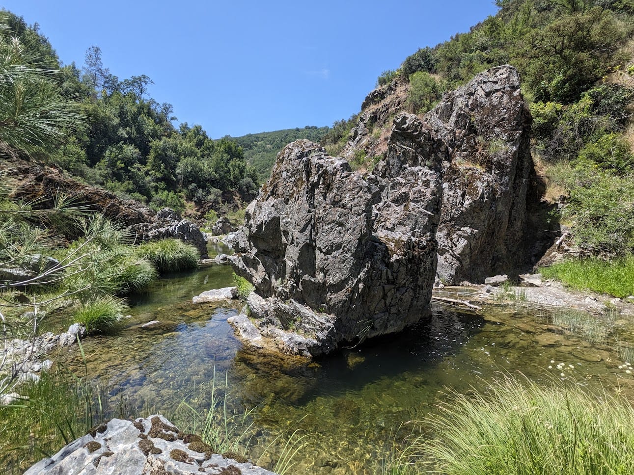
I came back on a Friday, and the weekend crowd was starting to show up (psshh, casuals). I got to laugh just a tiny bit when I saw people reach the creek section and try to figure out where the trail was, and witness the moment when they realized this was going to be a wet boots ordeal. Combination schadenfreude and "lol oof been there"
Finally, one last big climbing through chaparral to get back up to HQ, although this time luckily it was a trail that was built for humans instead of trucks. I could see for miles and miles, and the ridges seemed to continue infinitely into the distance. Being in such a large, uninterrupted natural area is really such a rare and special treat.
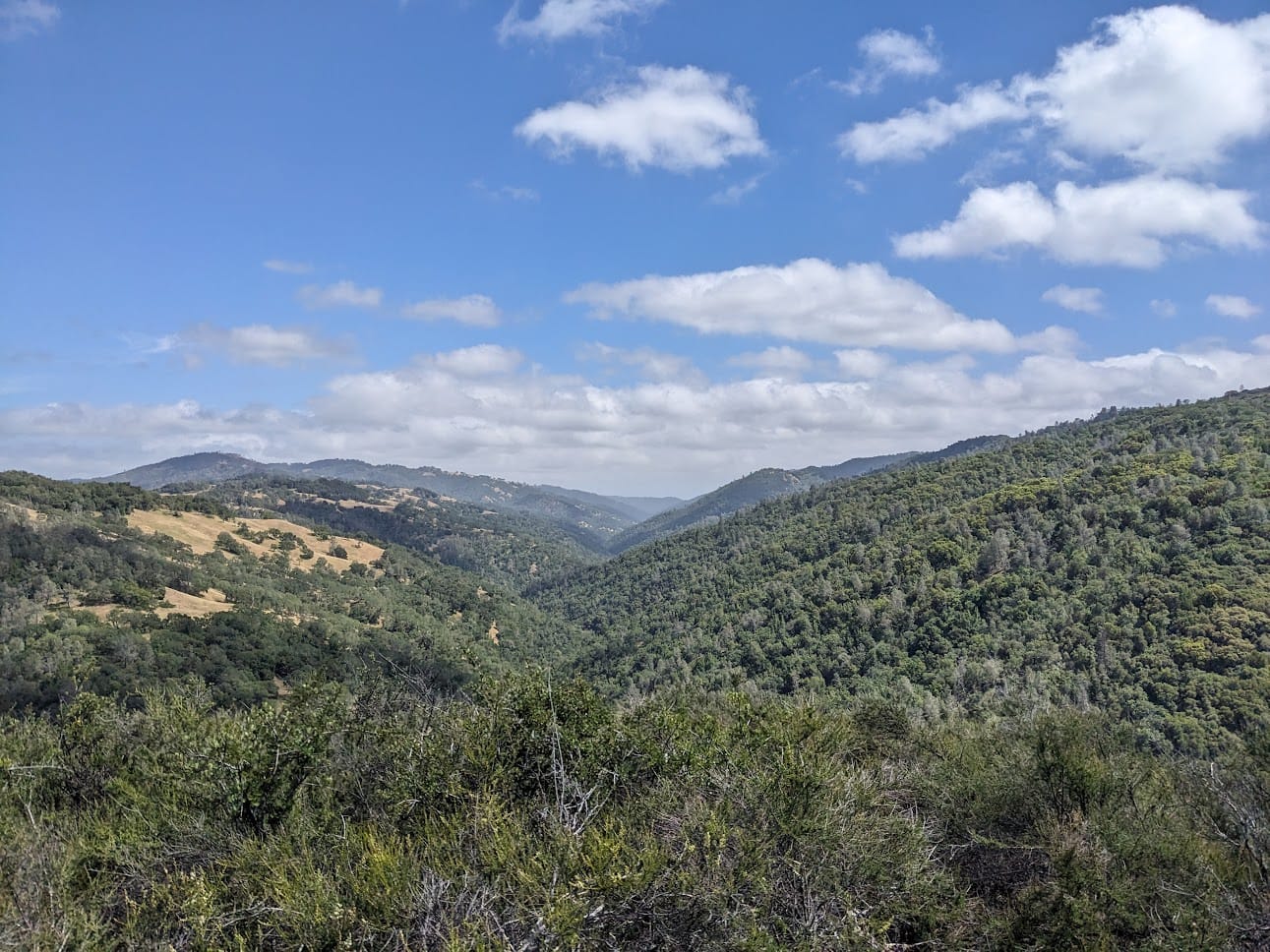
I finally made it back to the headquarters, and again caught an Uber relatively quickly. This driver was also great, a dad from Mexico. He talked about his harrowing experience crossing the border into the States, told me about his family, how he liked to go dancing for fun.
Closing thoughts
If my constant complaining in this post makes it sound like I didn't have fun on this trip, in a lot of ways I didn't! In other ways it was an exhilarating, challenging, life-changing experience. A total blast.
I have come to terms with the fact that I tend to learn best by biting off more than I can chew, and this trip was a perfect example of that. I pushed myself, learned a ton, and found incredible beauty and peace along the way. I haven't stopped thinking about this experience ever since I got back.
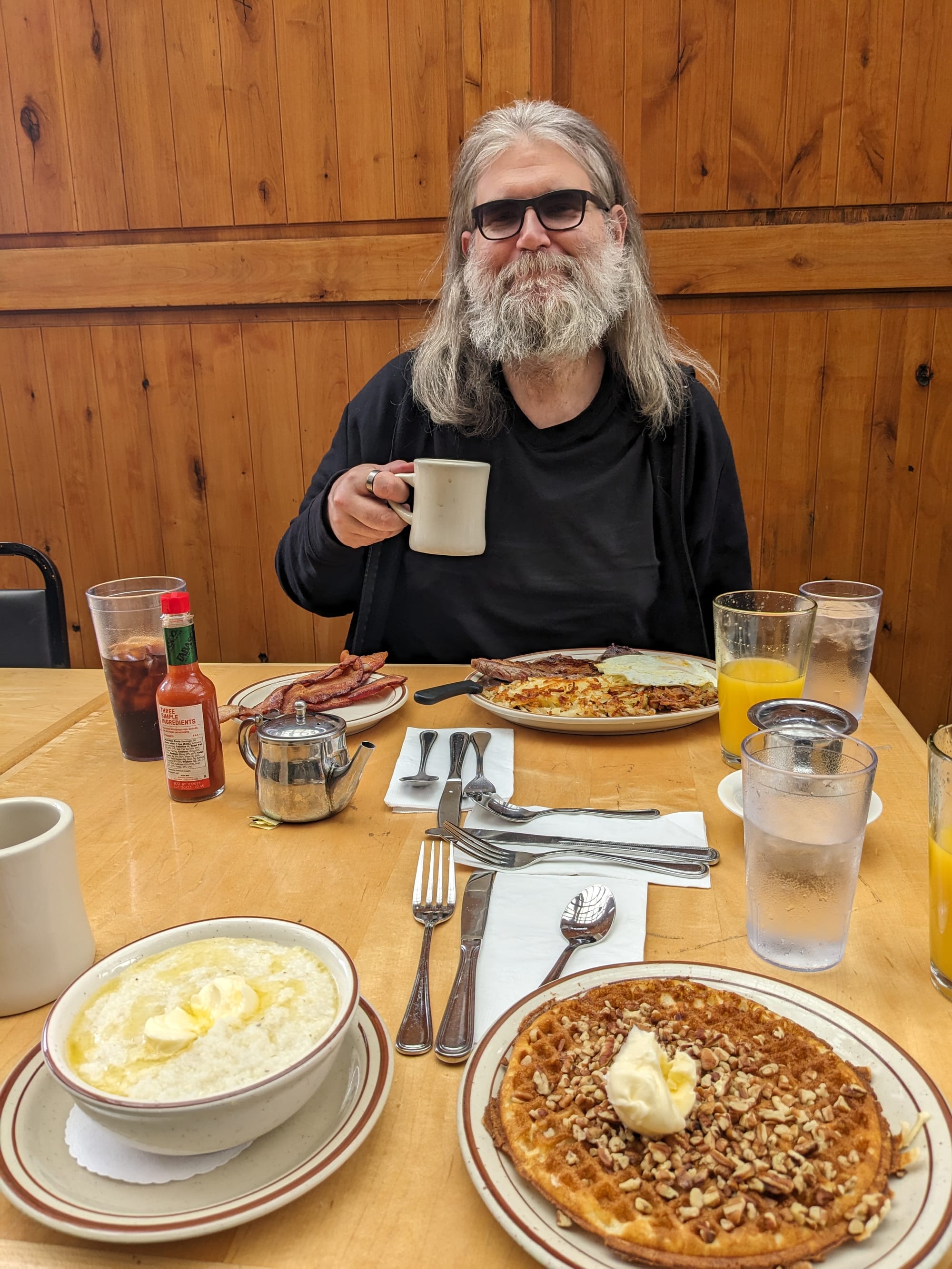
Oh, and about that breakfast:
