Backpackingpost_002 - 5 Day Solo Trek in the Wilderness of Henry Coe
This trip has been inevitable since around this time last year.
I tend to learn best by biting off way more than I can chew, and wilderness backpacking was no exception. Last May, I set off on my first backcountry trip (and only my second backpacking trip period) – 3 days and 2 nights.
The trip went just fine; I was in constant upper body pain because I did not quite have the strength to comfortably carry my backpack for that amount of time, and I'd brought way too much stuff (intentionally) because I wasn't quite sure what I'd need. I also way overestimated how tough the terrain would be, even compared to similar places I'd hiked around the Bay Area.
I'd vastly underestimated how much the heat and the terrain and the weight of my backpack would have on how many miles I could reasonably cover in a day. I was determined to spend my first night at the foot of Rooster Comb, a mountain with a distinctive rock formation on top, in the remote Orestimba Wilderness in the north part of the park. The hike from the visitor center was "only" 17 miles - a perfectly comfortable distance for me for a day hike. Needless to say, I did not make it that far, and camped in a nice meadow about 13 miles in, as the last of the daylight faded out.
That trip was overwhelming in every way, but I was already planning my next one by the time it was over (and not just because I had unfinished business!). I knew what I was up against this time, and wanted to come back more prepared for the task, with all the things I'd learned from my first go.
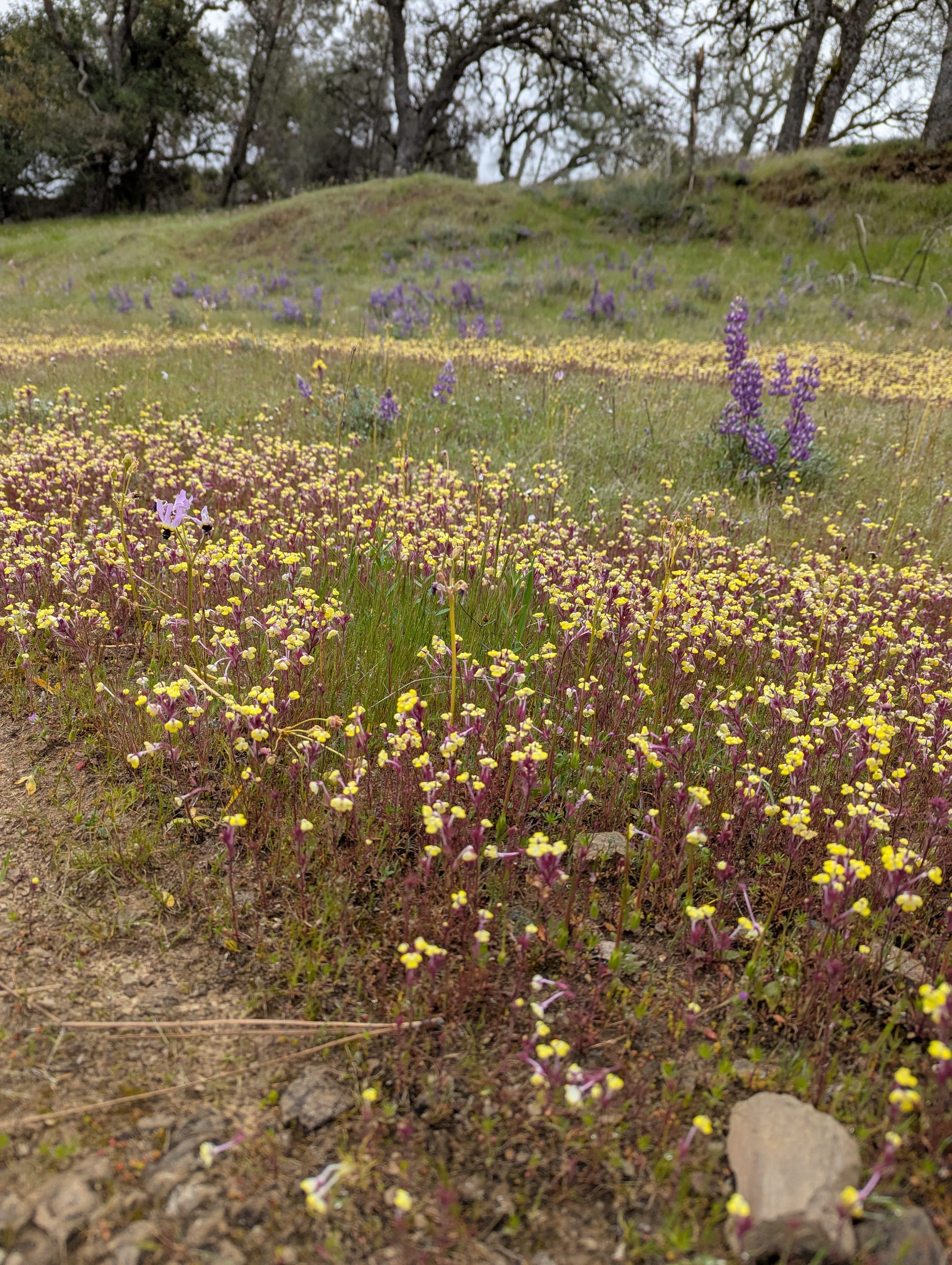
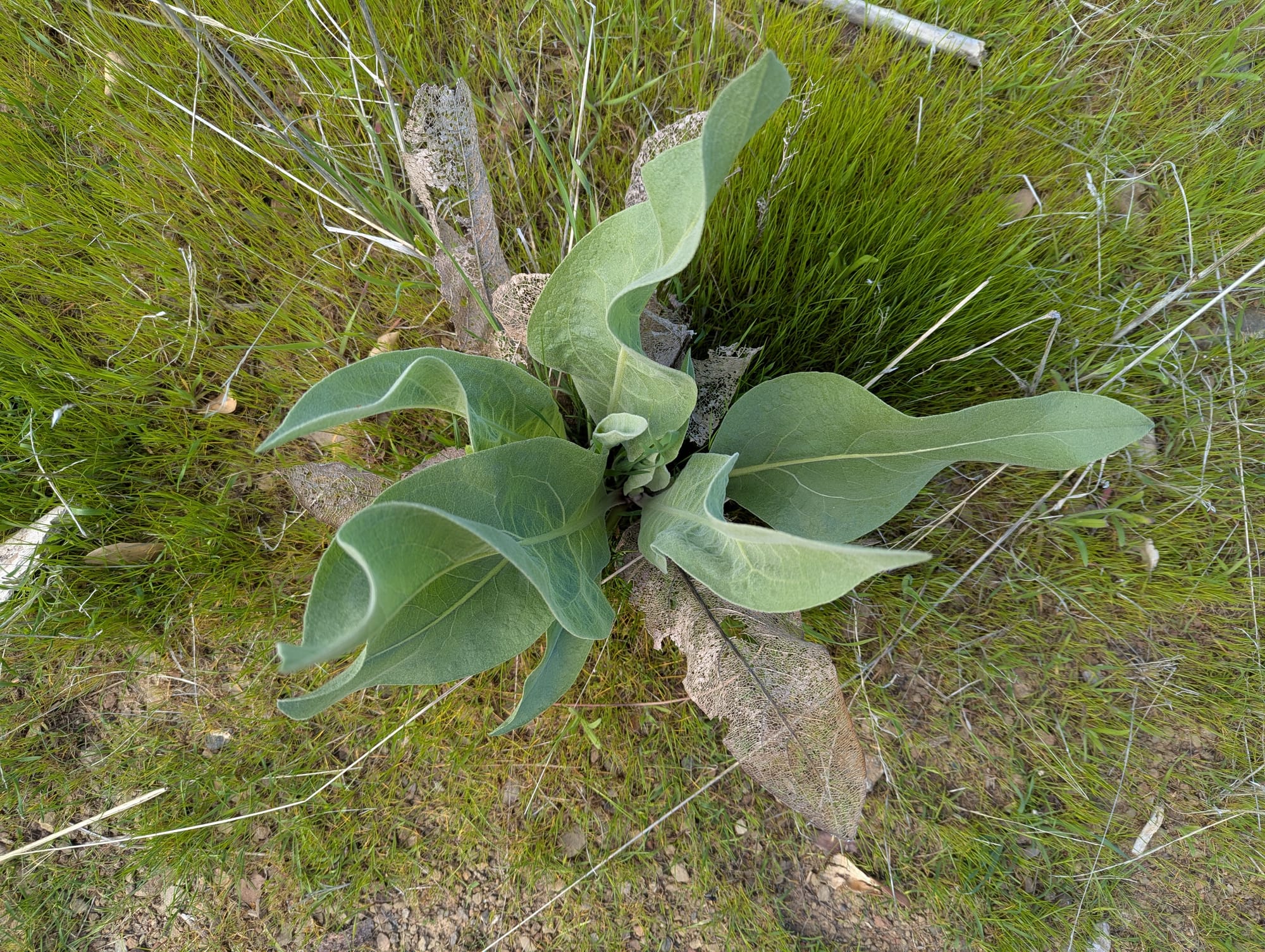
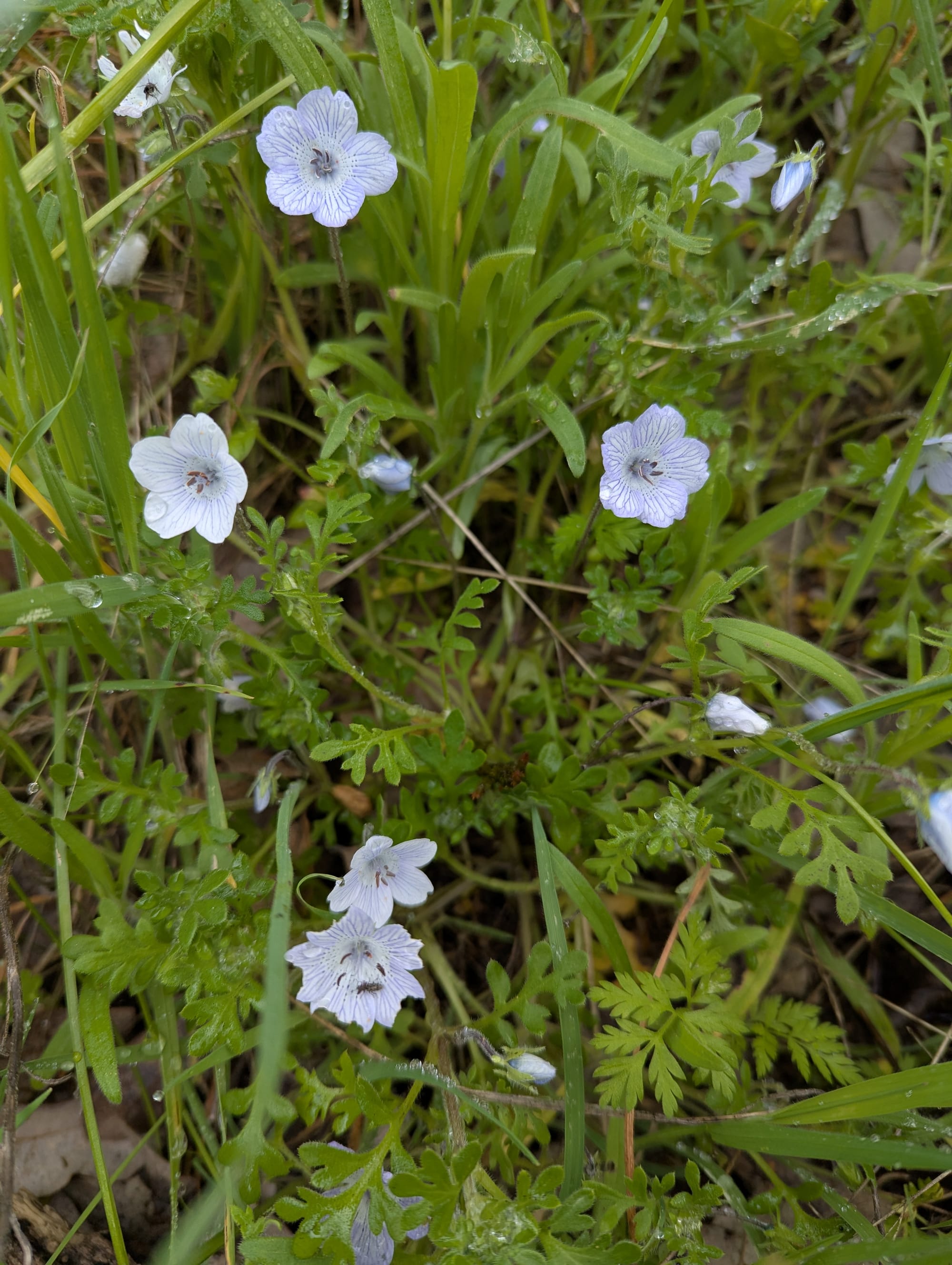
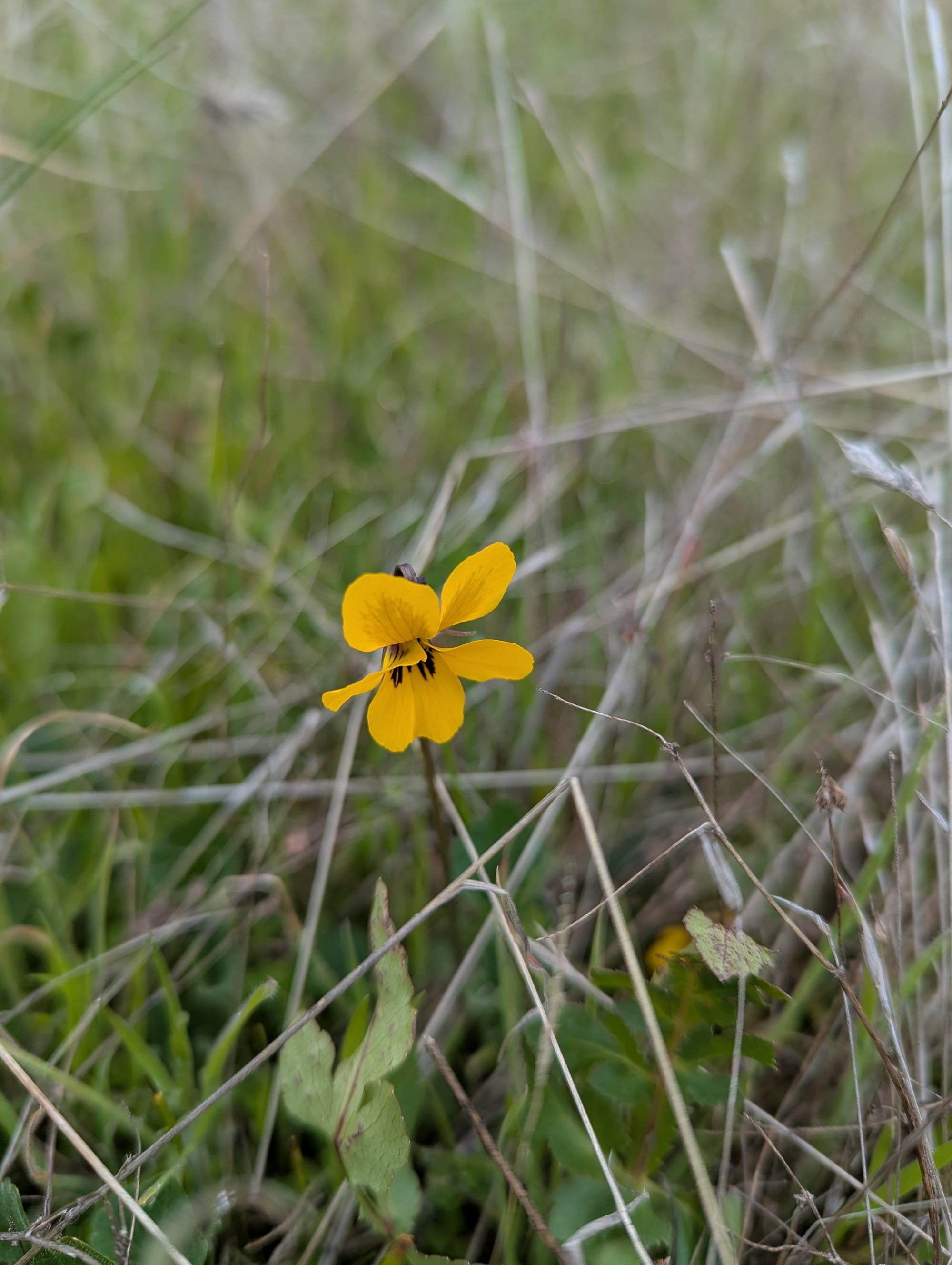
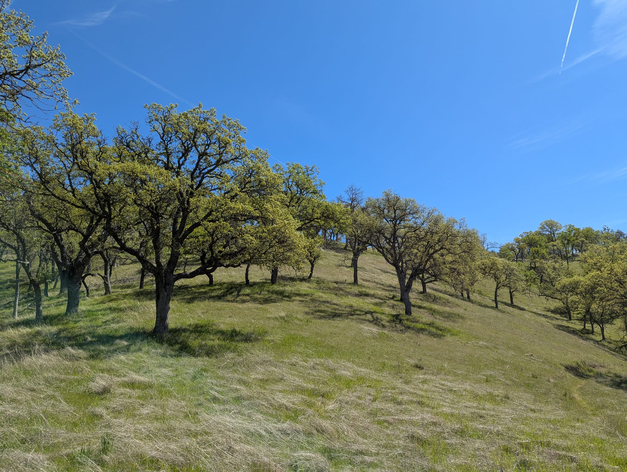
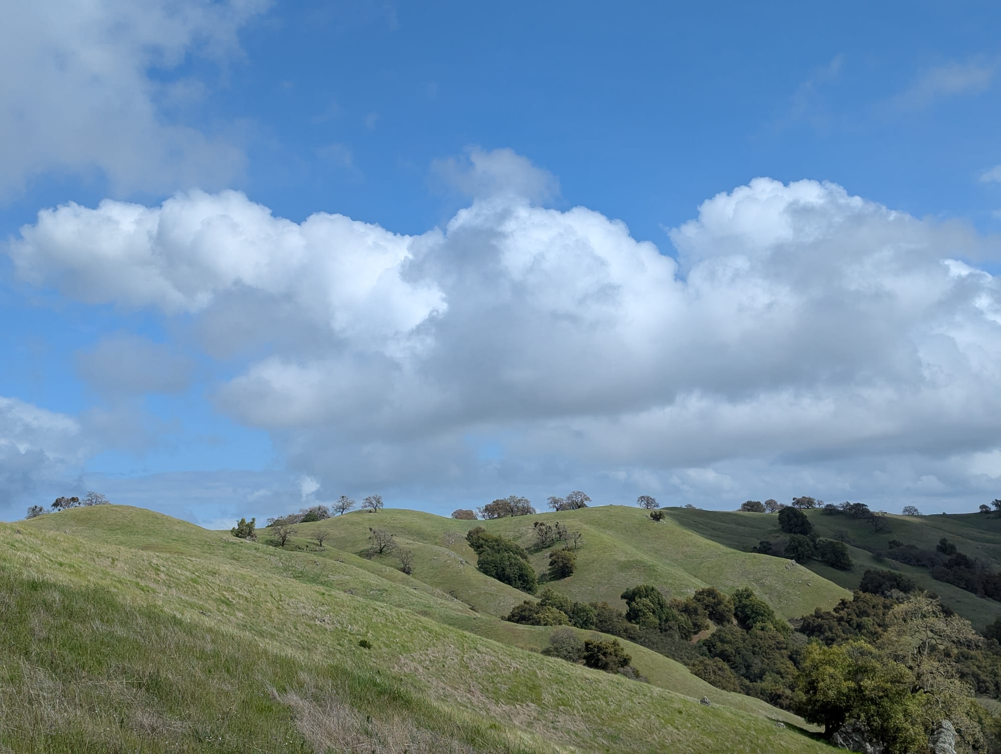
I decided on 5 days, to continue testing my capacity for living alone in the wilderness, and prepare for even longer, more remote trips in the future. Last year, I'd gone at the very end of May, when the grasses were golden and filled with various types of mariposa lilies, some that only grow in the Diablo Range. This year, I decided to go earlier in the spring, to see the park in Green Mode, and maybe have some rain, or at the very least, cooler temps.
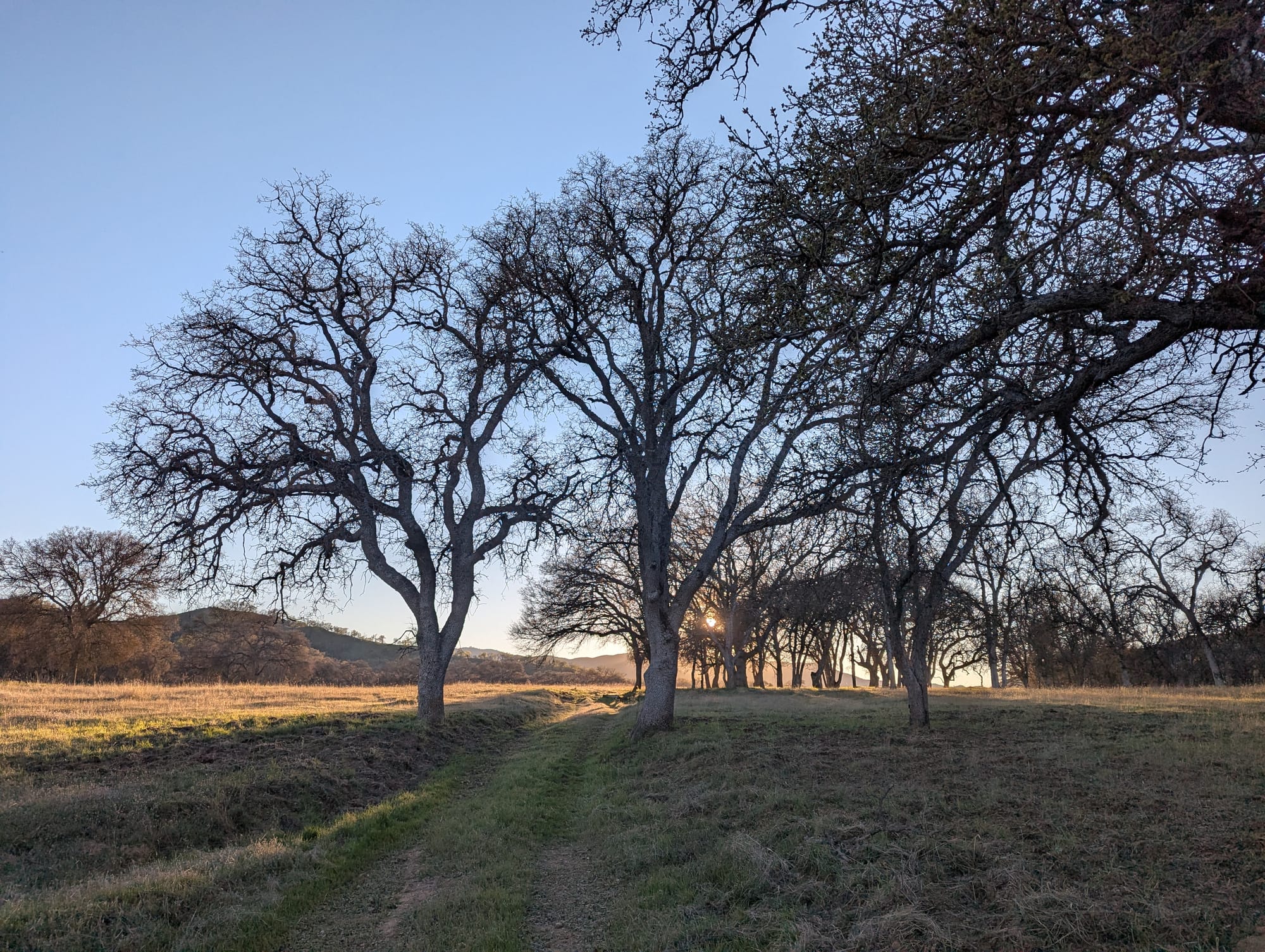
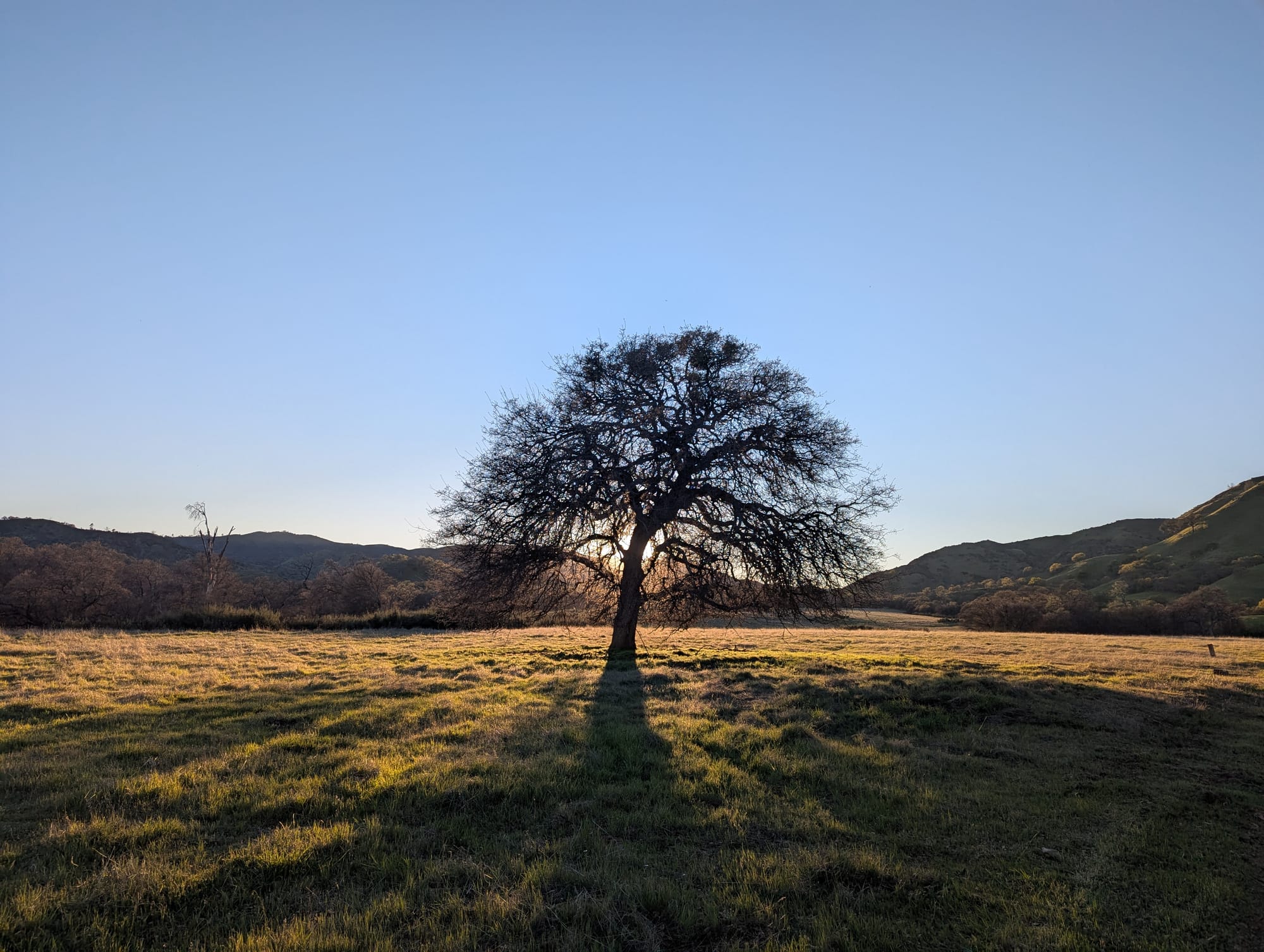
Golden Mode was beautiful:
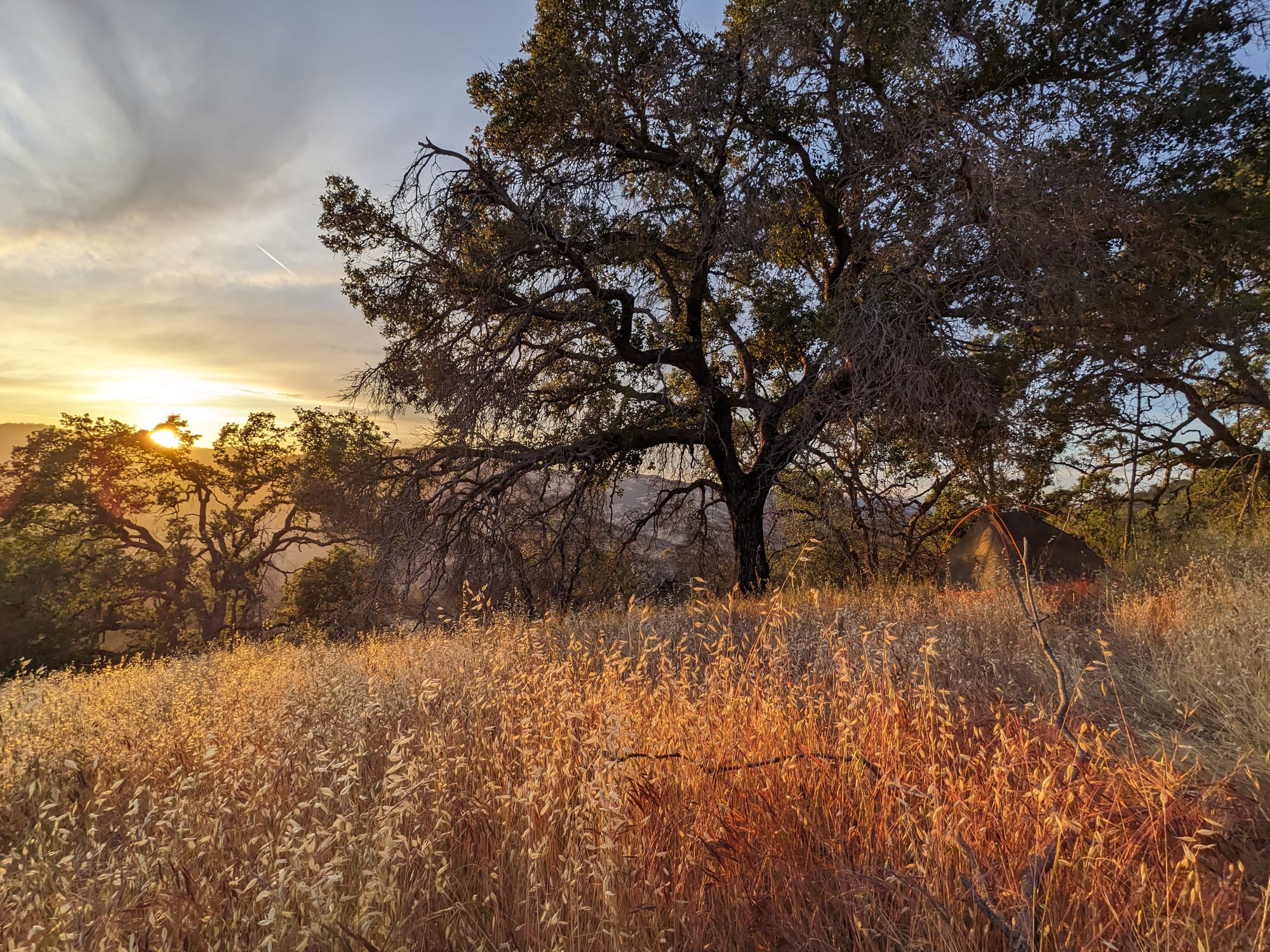
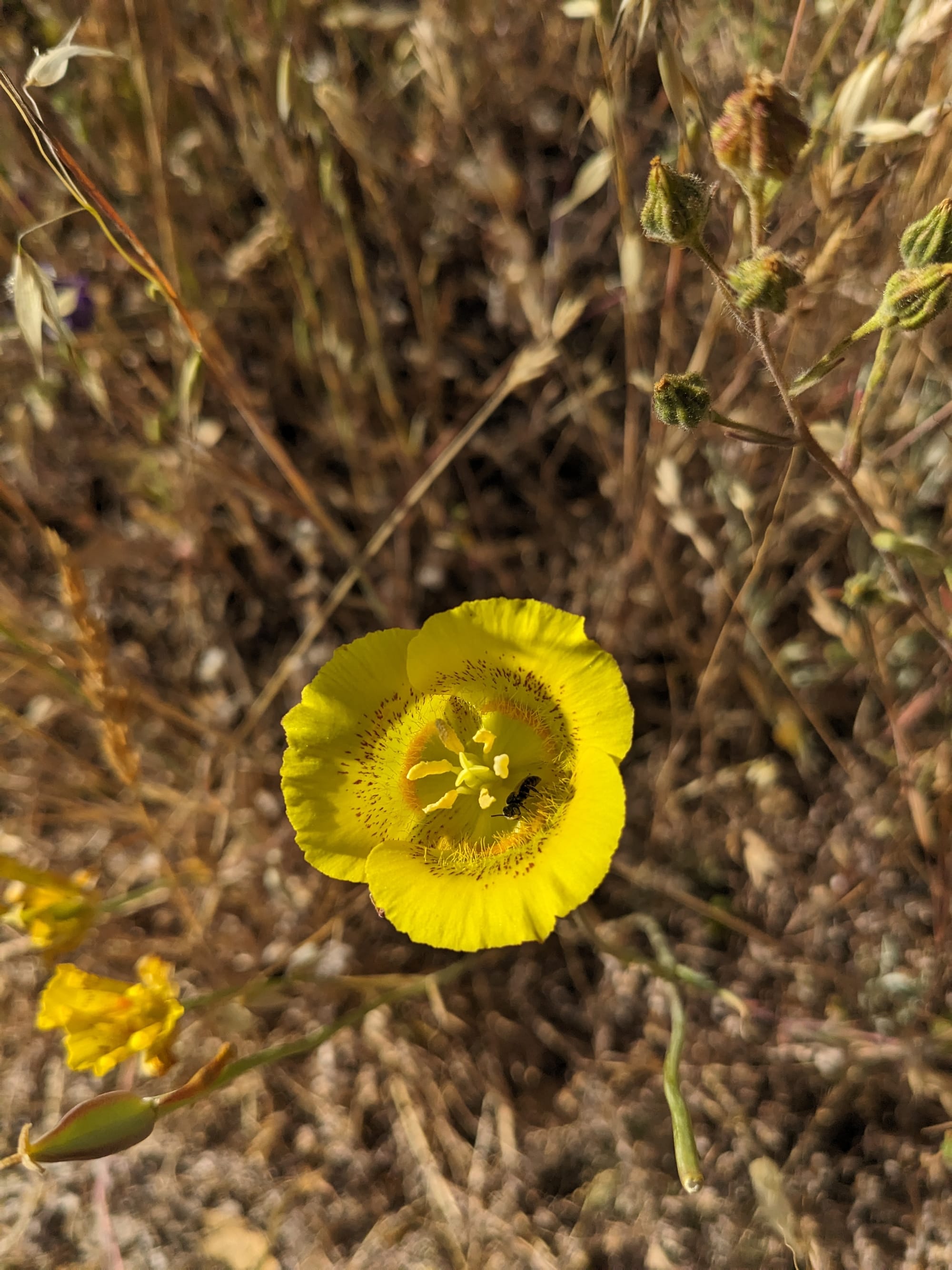
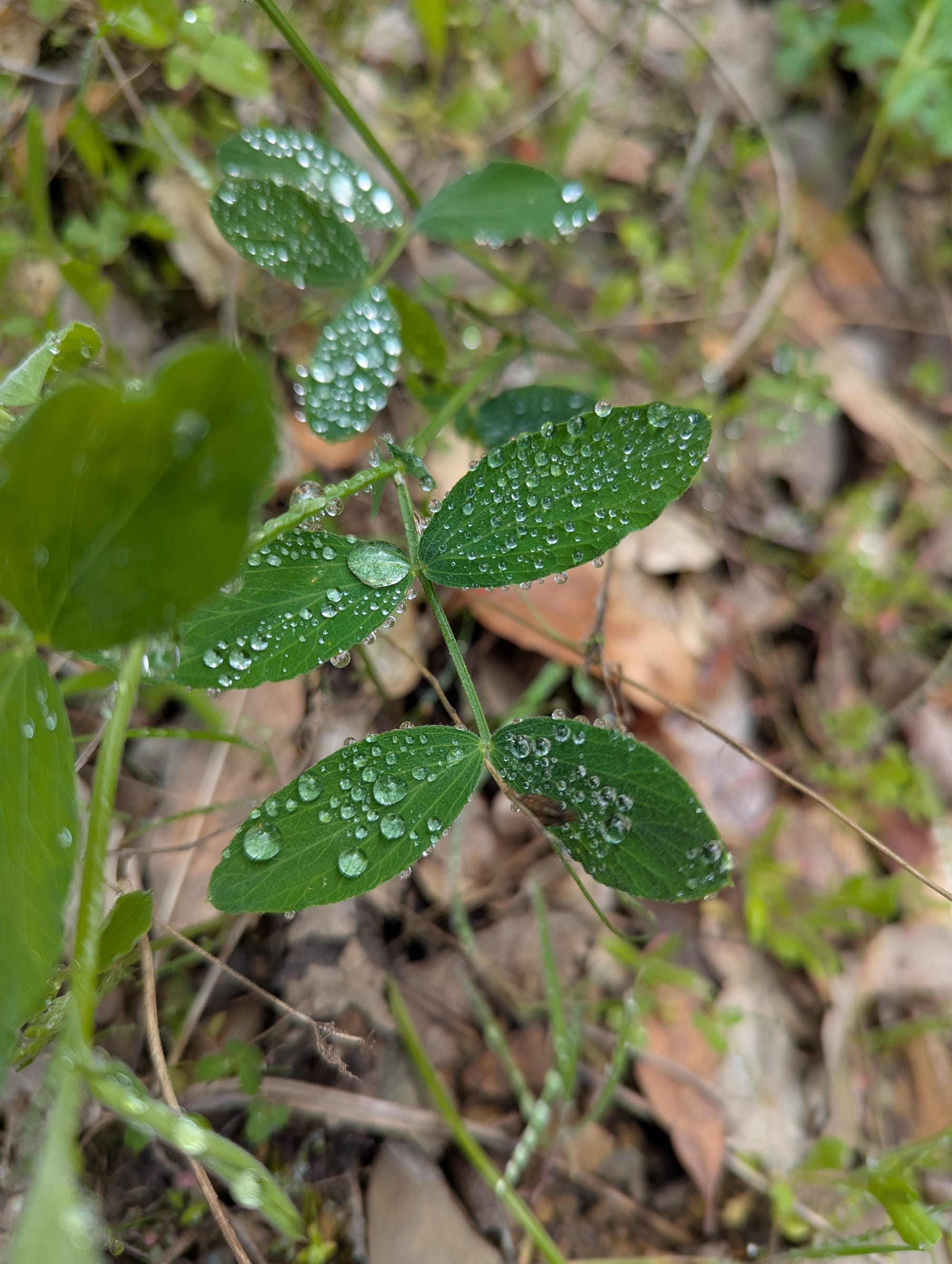
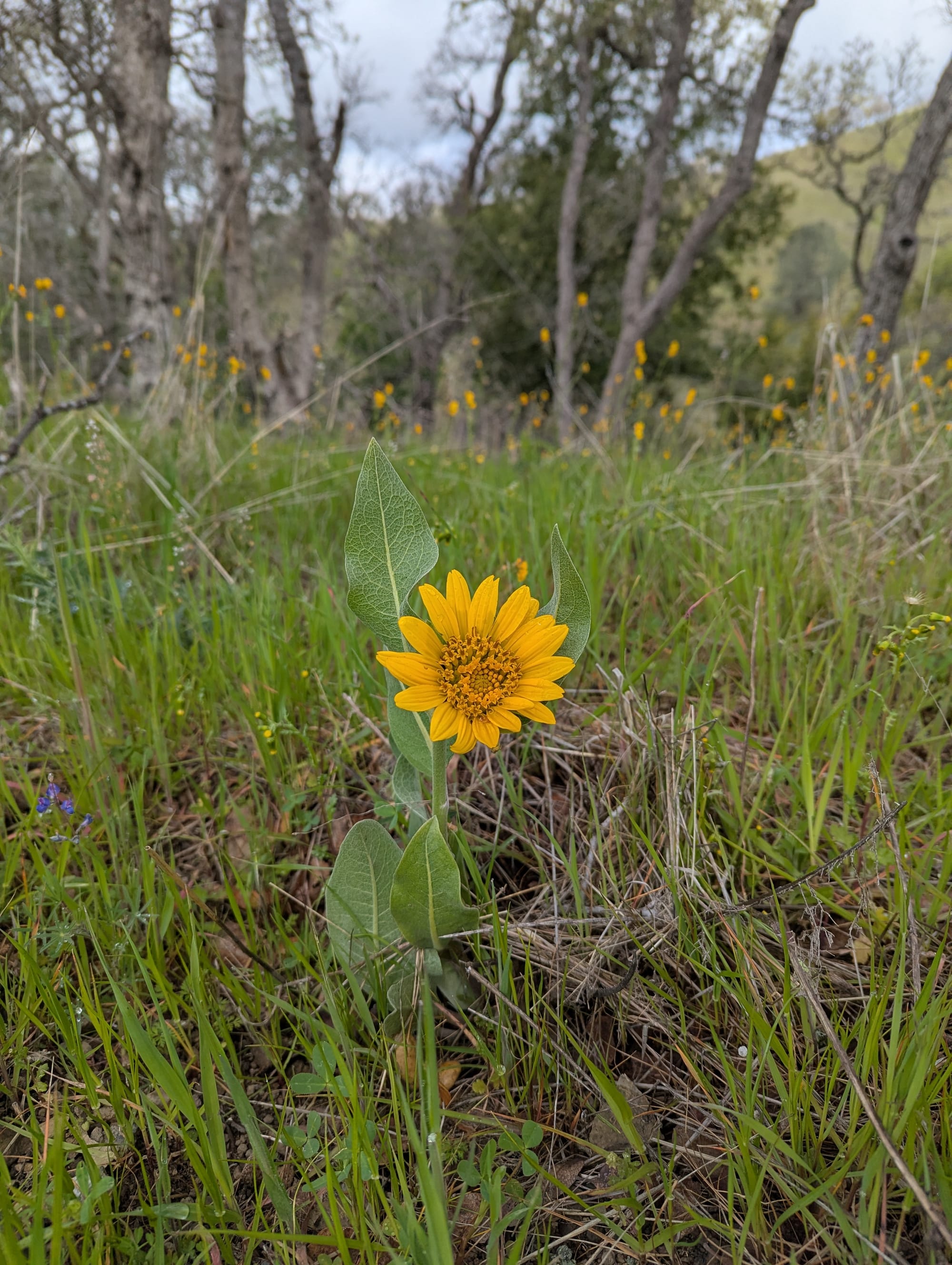
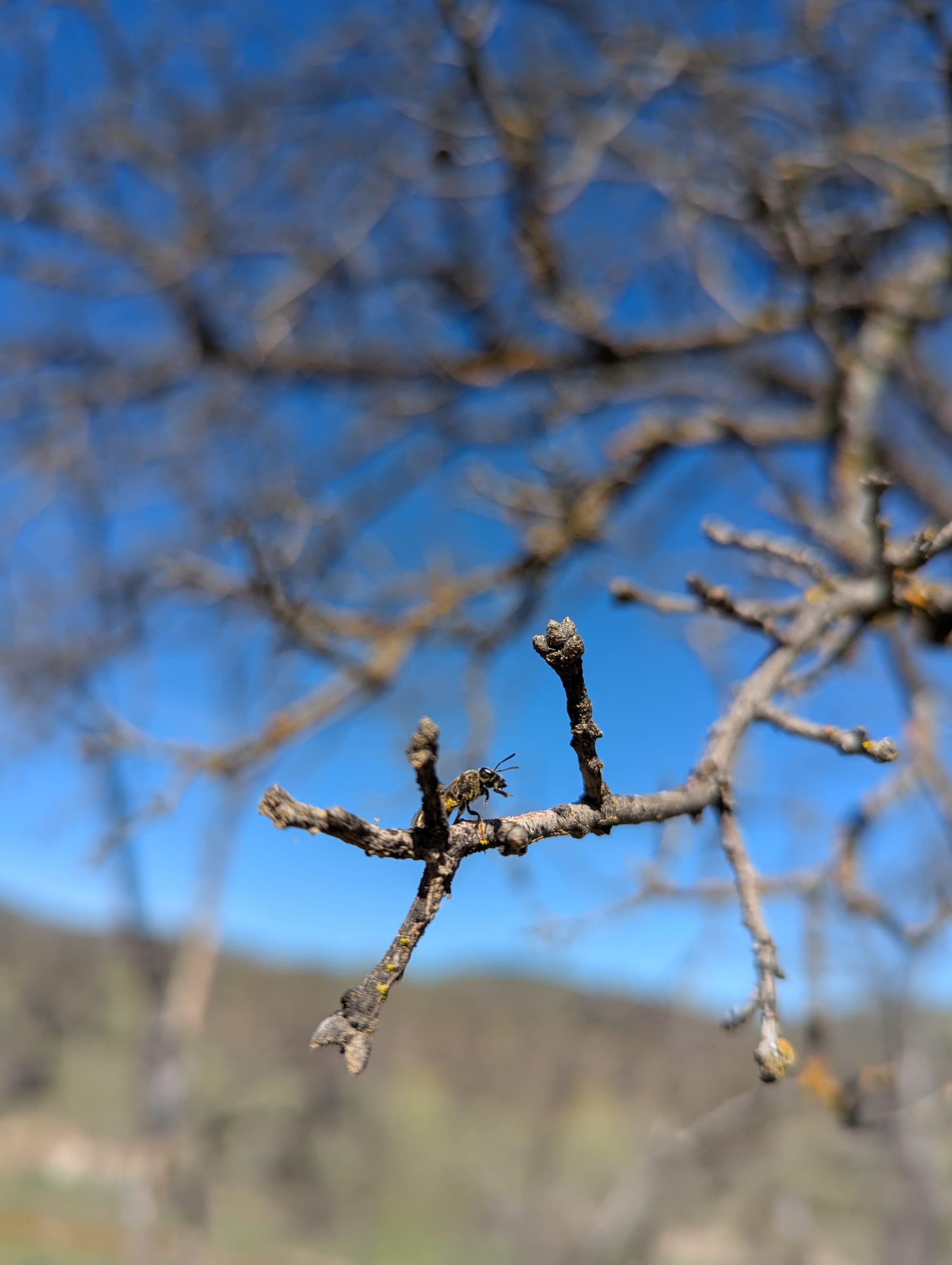
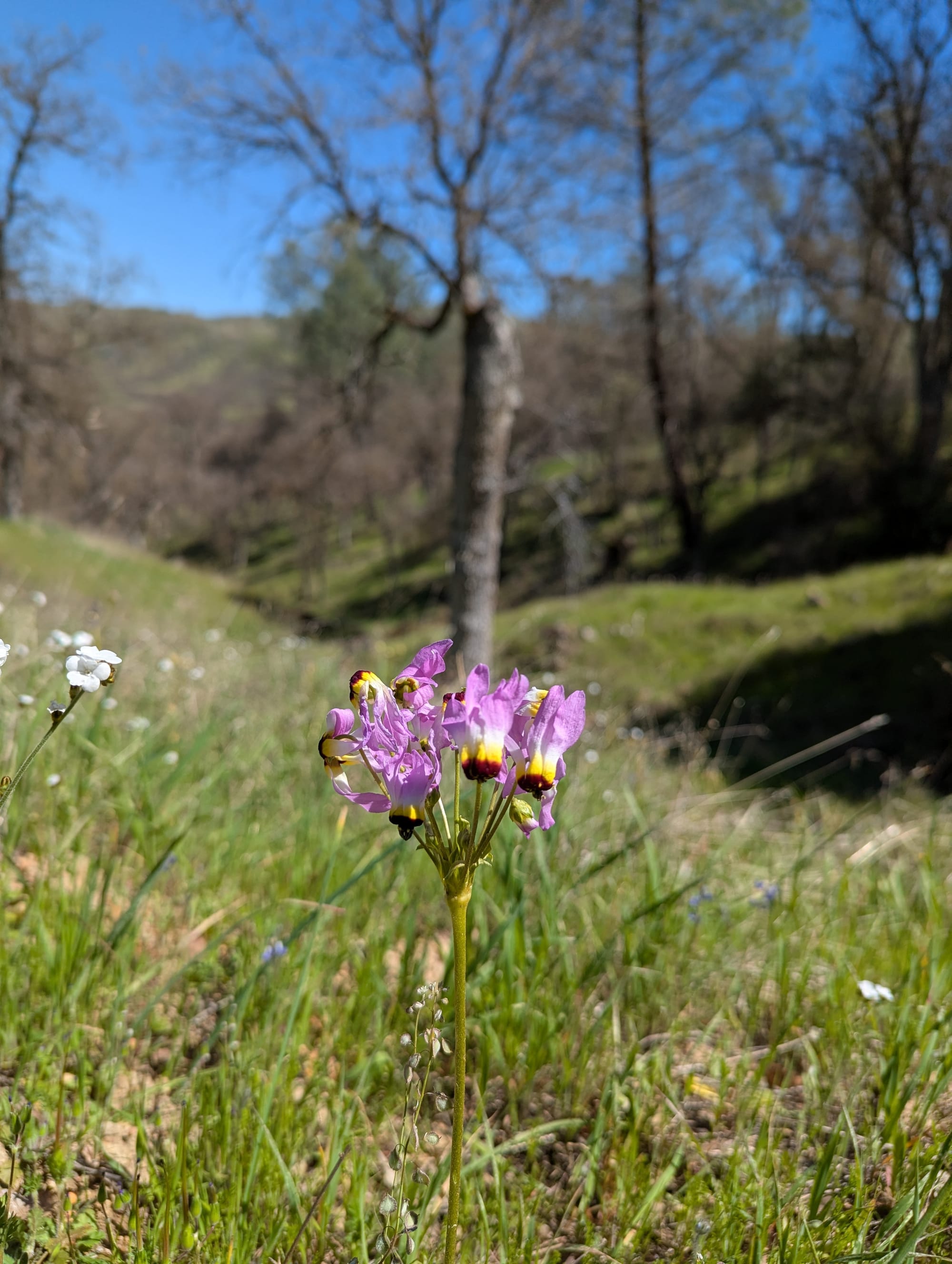
(Turns out Green Mode is also beautiful)
Background & Prep
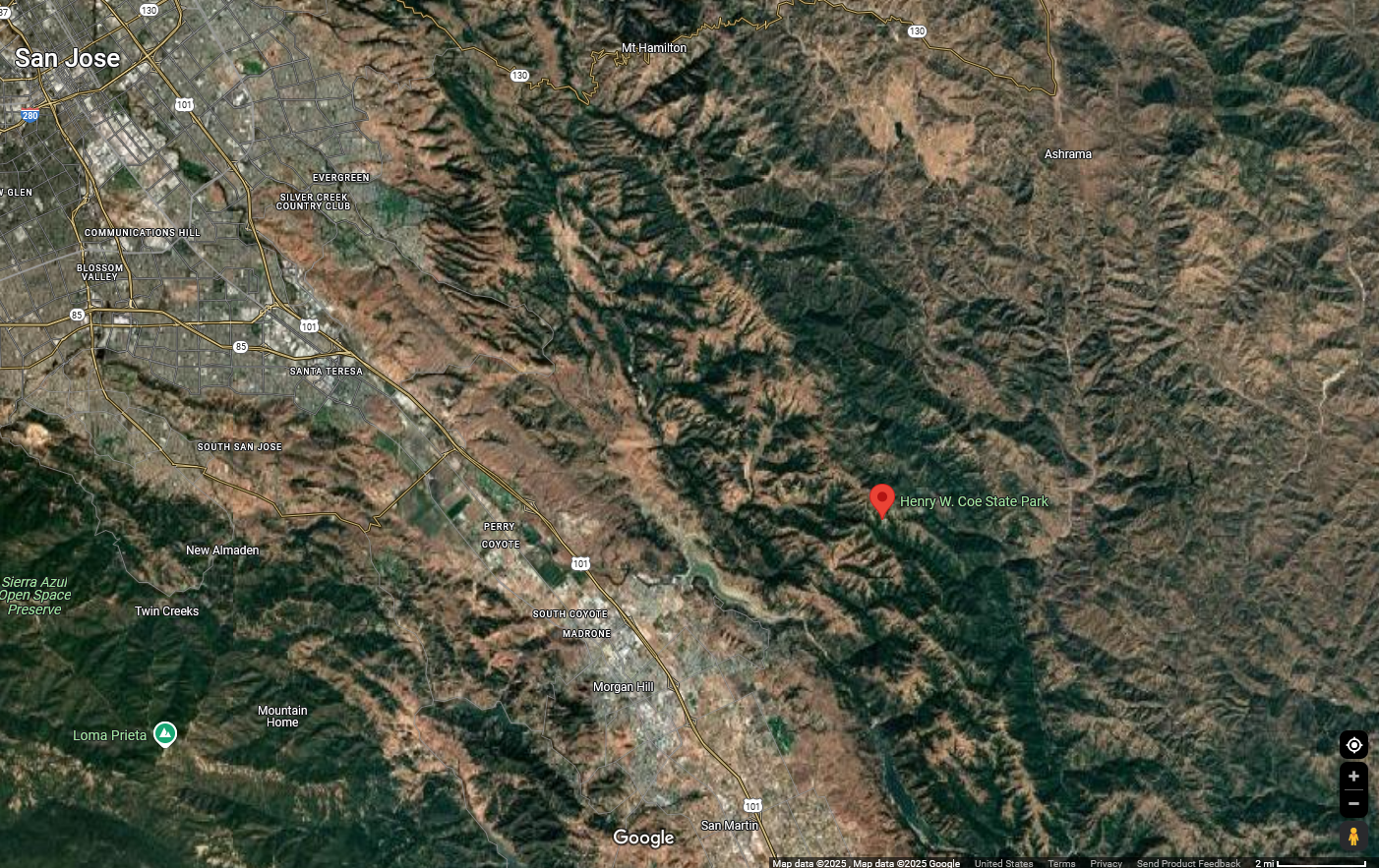
Henry W Coe State Park is massive - it's the 2nd largest state park in Northern California at 87,000 acres. Contained within it is a designated wilderness area, known as the Orestimba Wilderness, which is an additional 22,000 acres. It's about an hour south of San Francisco, where Silicon Valley fades into farm country.
And no one has heard of it.
Seriously, I've only met 2 people who have even heard of it: an old timer on a hiking trail, and the woman at our farmer's market Atomly and I affectionately refer to as The Juice Lesbian. It's incredibly remote, a long drive on a curvy two-lane no matter which entrance you come in, with no outside roads passing through the park. The western side of the park has minimal infrastructure: a few primitive campsites, a rare outhouse here and there, but that's it. The eastern side is dispersed camping (i.e., you can camp anywhere) with virtually no infrastructure.
It's a filtering your own water, shitting in a hole you dug, BYOeverything kind of situation. If anything goes wrong, you're a day+ hike from any of the entrances. I've never seen another person in the distance, never seen another person's tent, in the combined 8 days I've spent in the park thus far. Outside the area immediately around the visitor center, I saw a one cyclist, a group of 3 backpackers, and a park ranger my whole last trip.
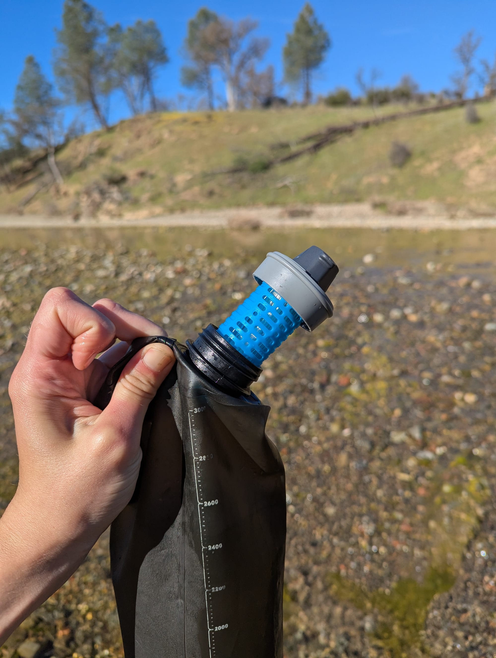
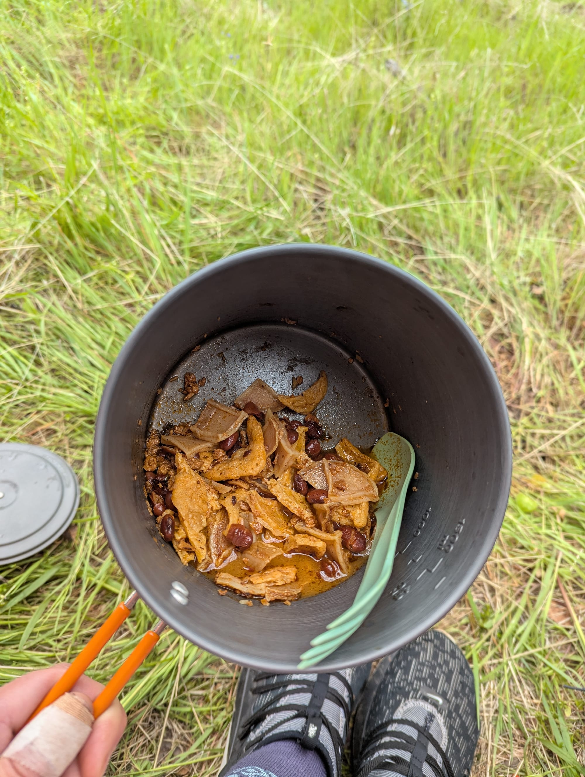
Needless to say, a lot of prep went into this trip. Aside from a few packaged snacks, I made virtually all of my own food for the week. I dehydrated a huge variety of fruits and vegetables, as well as some tofu, granola, and a massive batch of Root Bark Stew. (Btw: Backpacking Chef has been so helpful in my learning-to-make-backpacking-food-journey). I had a couple of meals and ingredients from my kayak trip last fall as well. I made 4 breakfasts, 4 dinners, and a whole assortment of lunch/snack items.
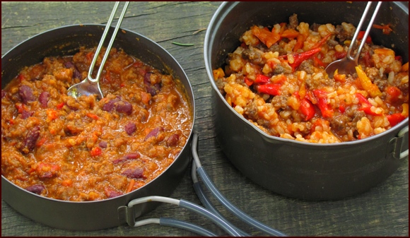
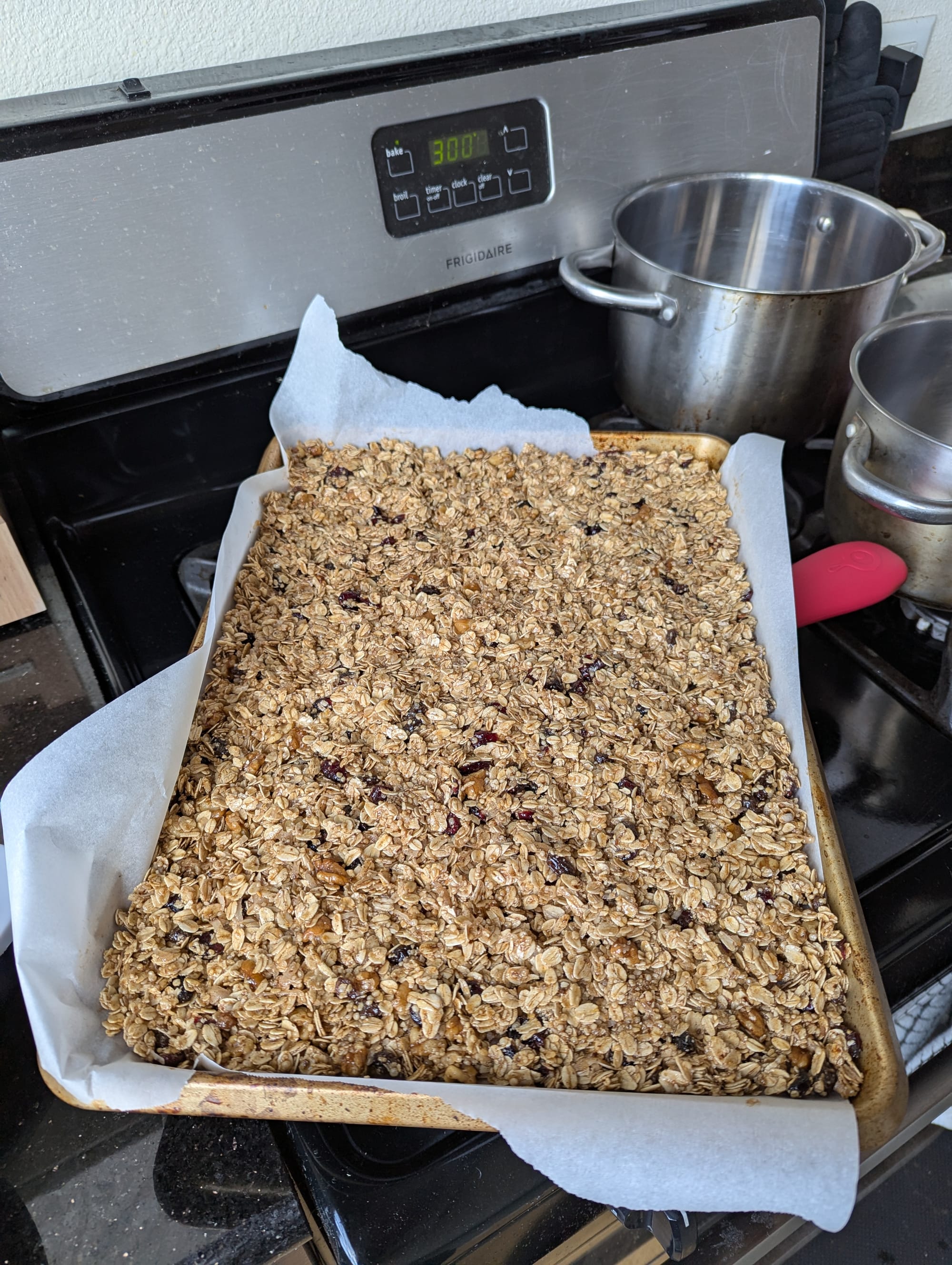
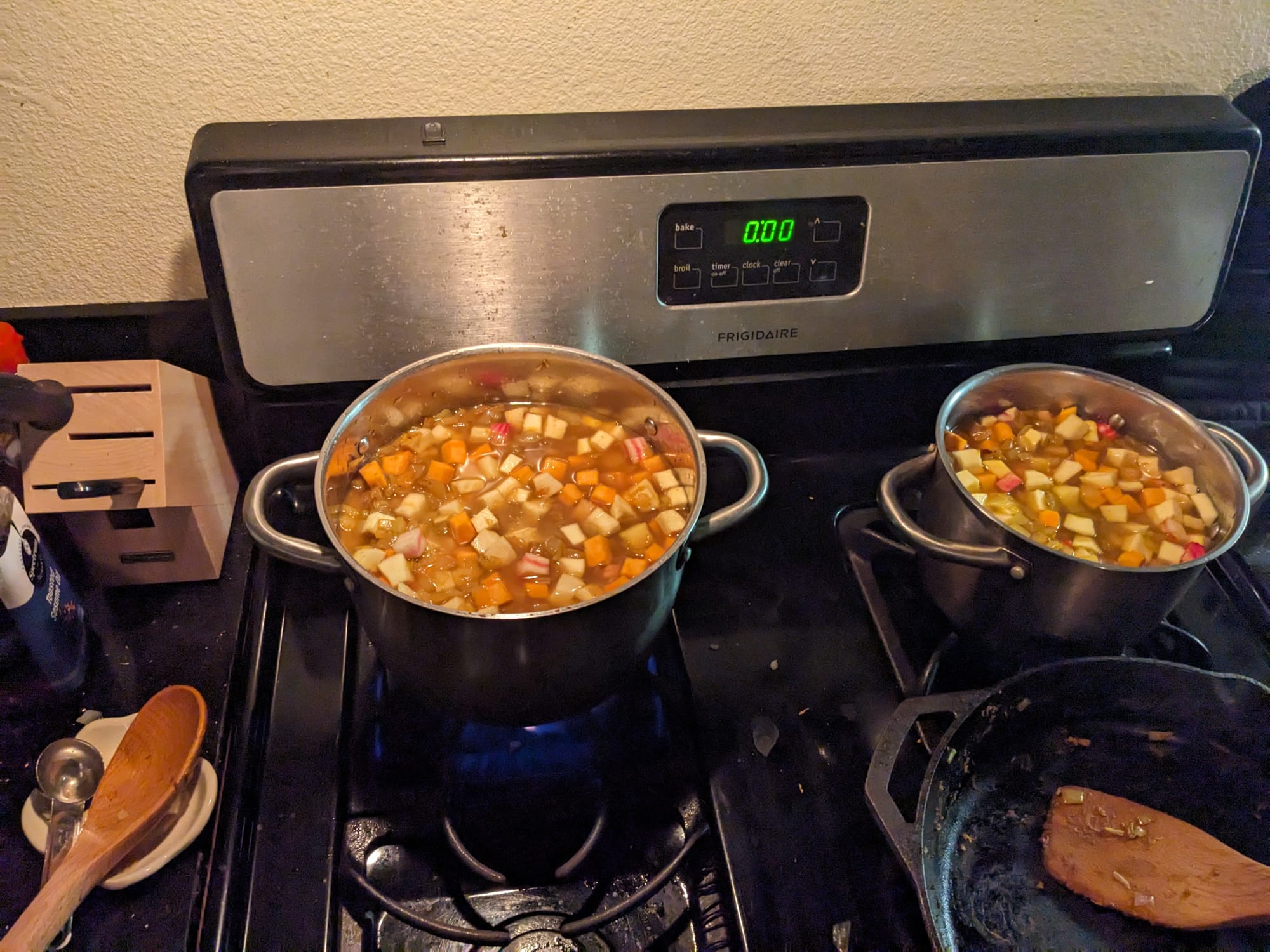
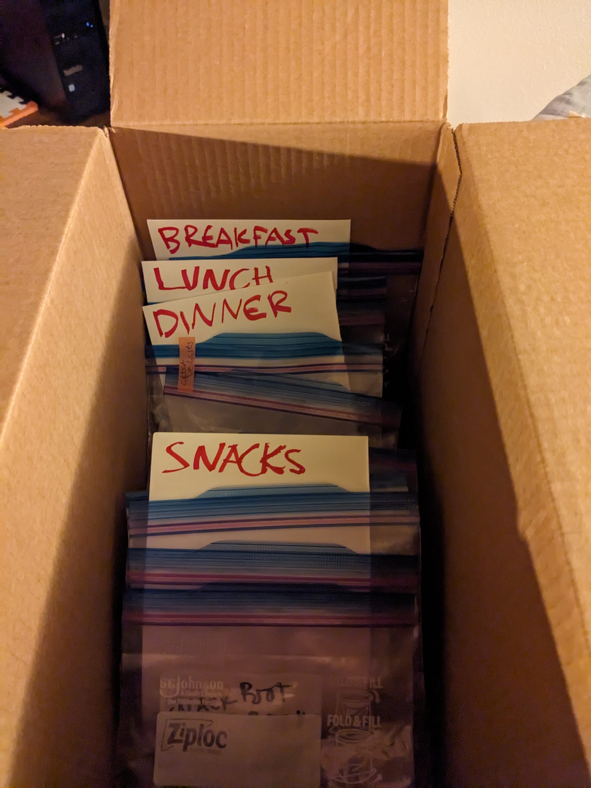
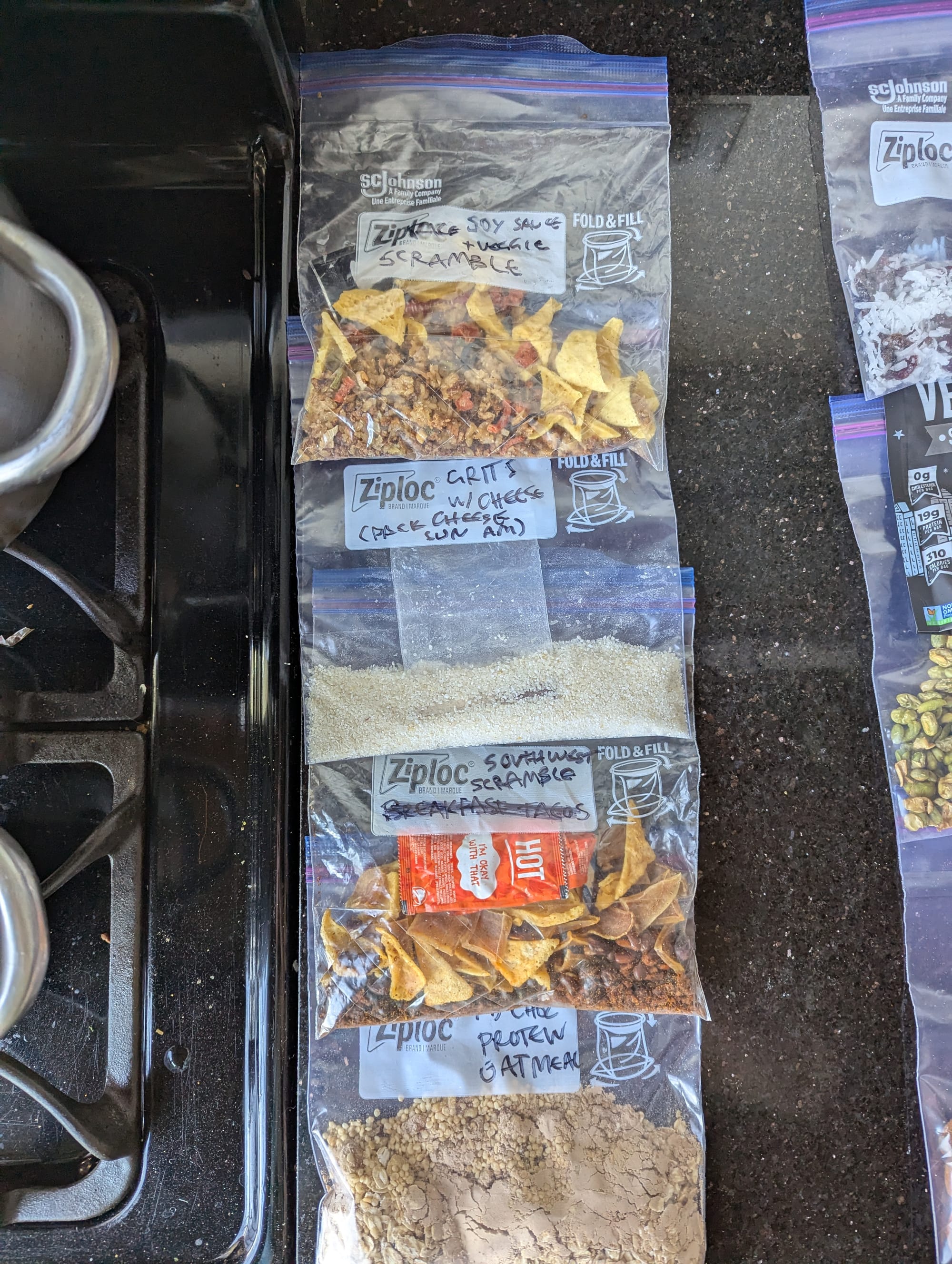
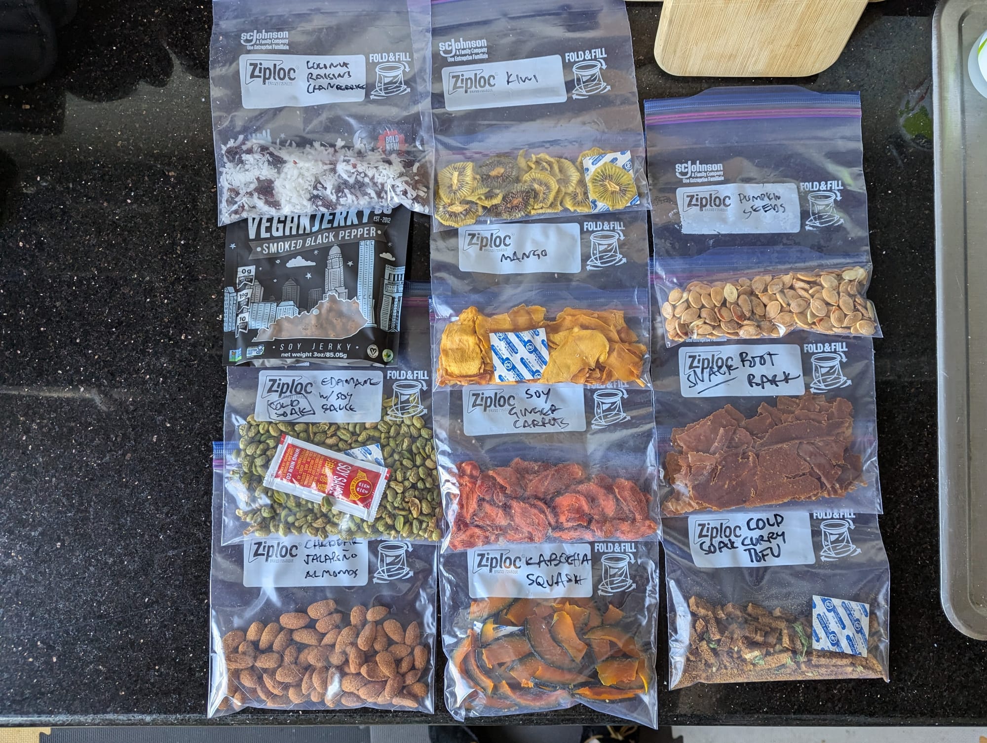
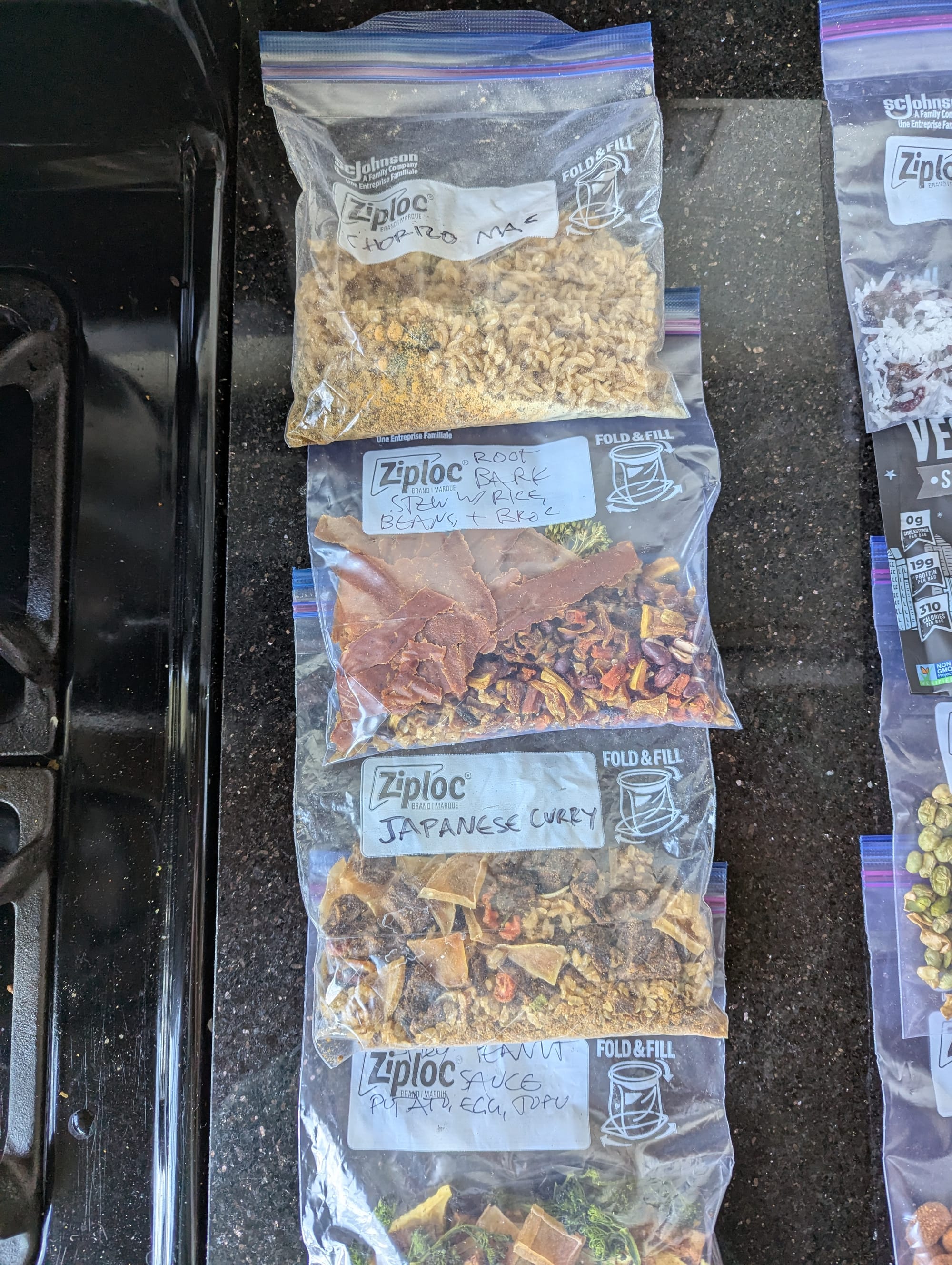
granola, "the record store method," root bark stew, breakfast, lunch/snacks, dinner
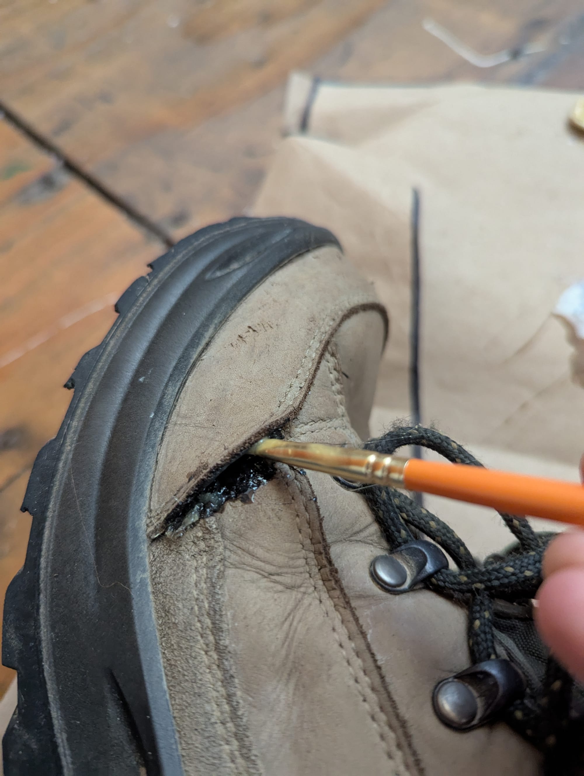
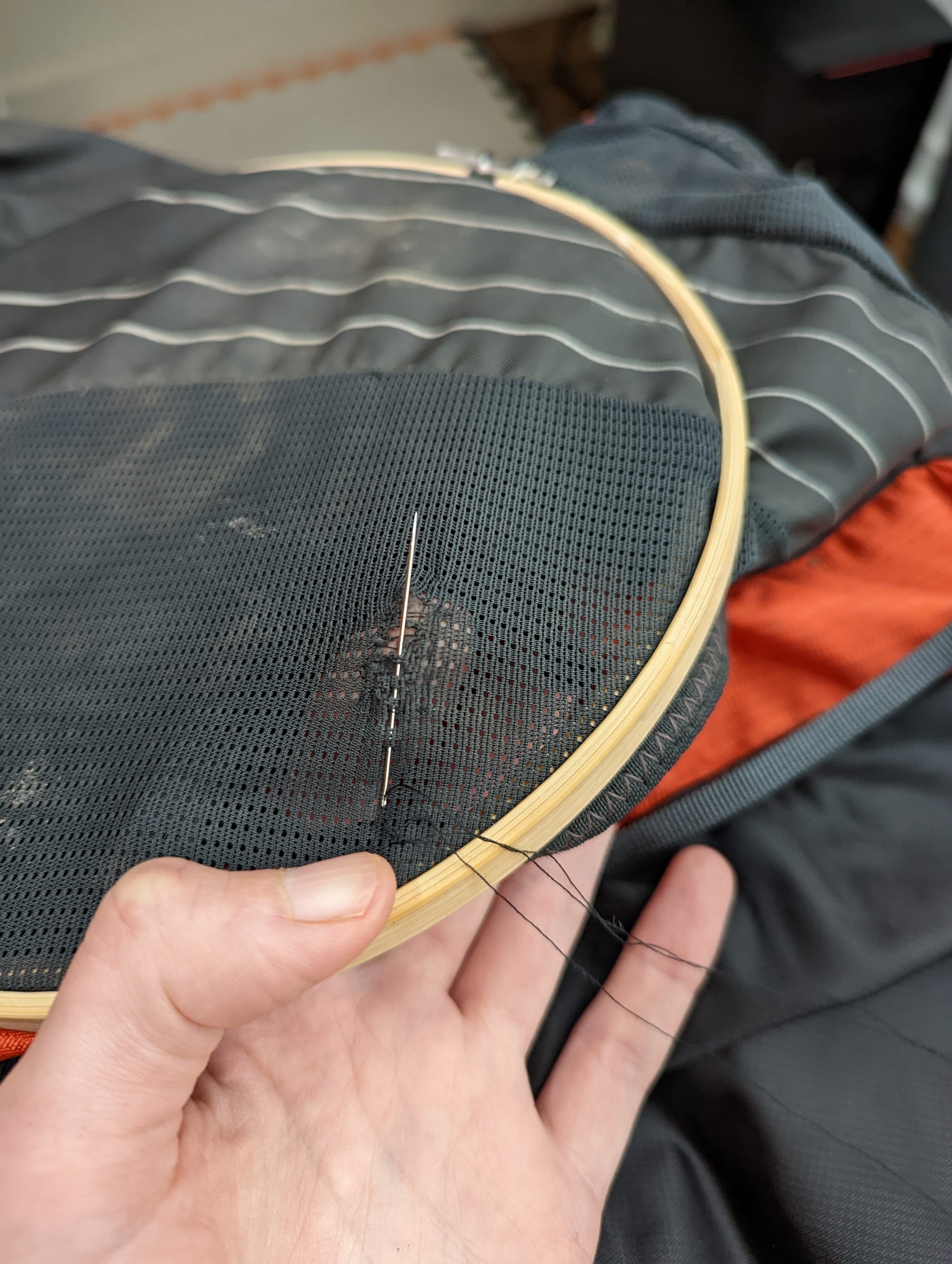
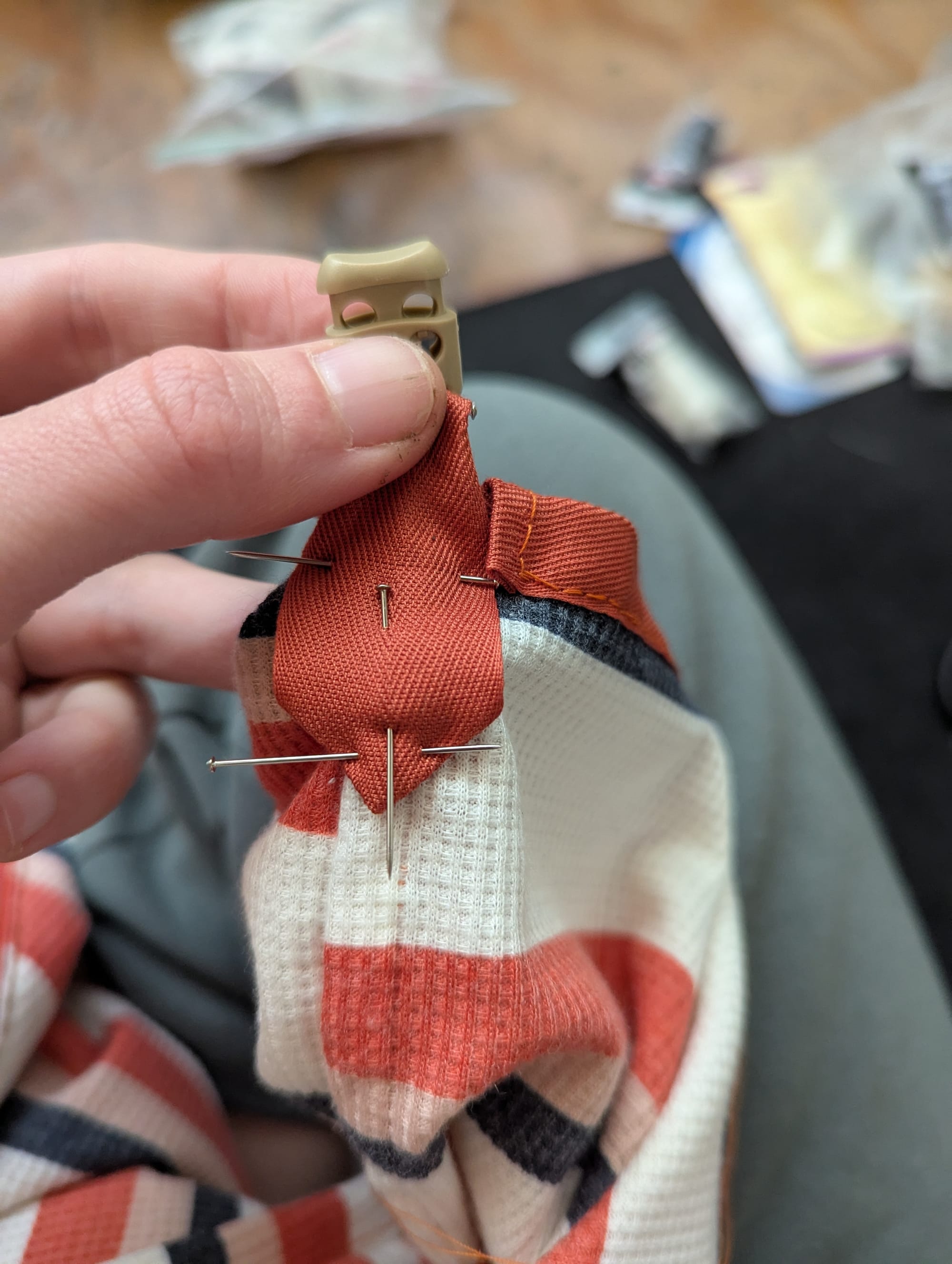
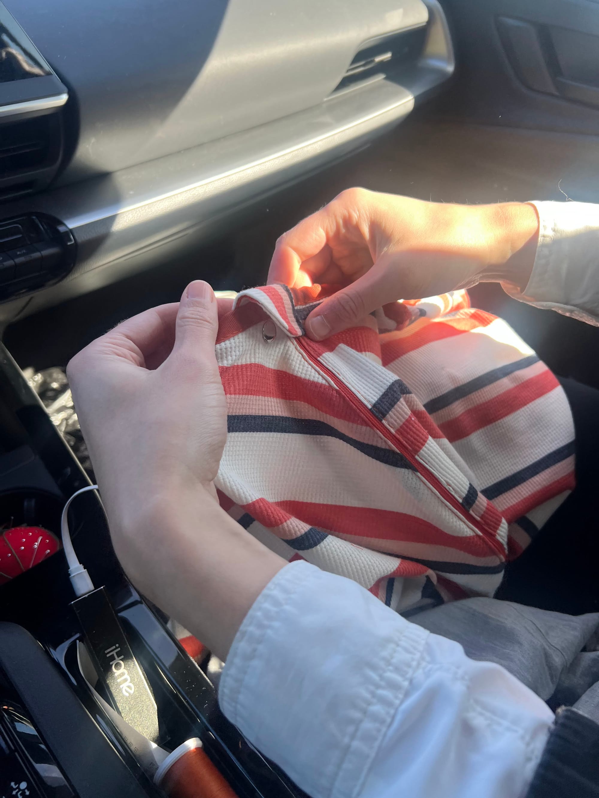
Of course there were lots of other prep tasks to be done: putting things in tiny bags, contact cement-ing my boots back together and other various repairs, and sewing myself a sleeping bag liner like this one, by hand. (The sleeping bag liner will have its own post but the gist of it is: sleeping bag liners are the shape of a sleeping bag but made of a lighter material, meant to go inside as an added layer of warmth and comfort. This particular one whose design I copied converts into a tactical potato sack that you can wear around camp, with a hood and zippers that form arm holes, as well as a drawstring at the feet. It turned out great and was a WONDERFUL addition to my camping setup)
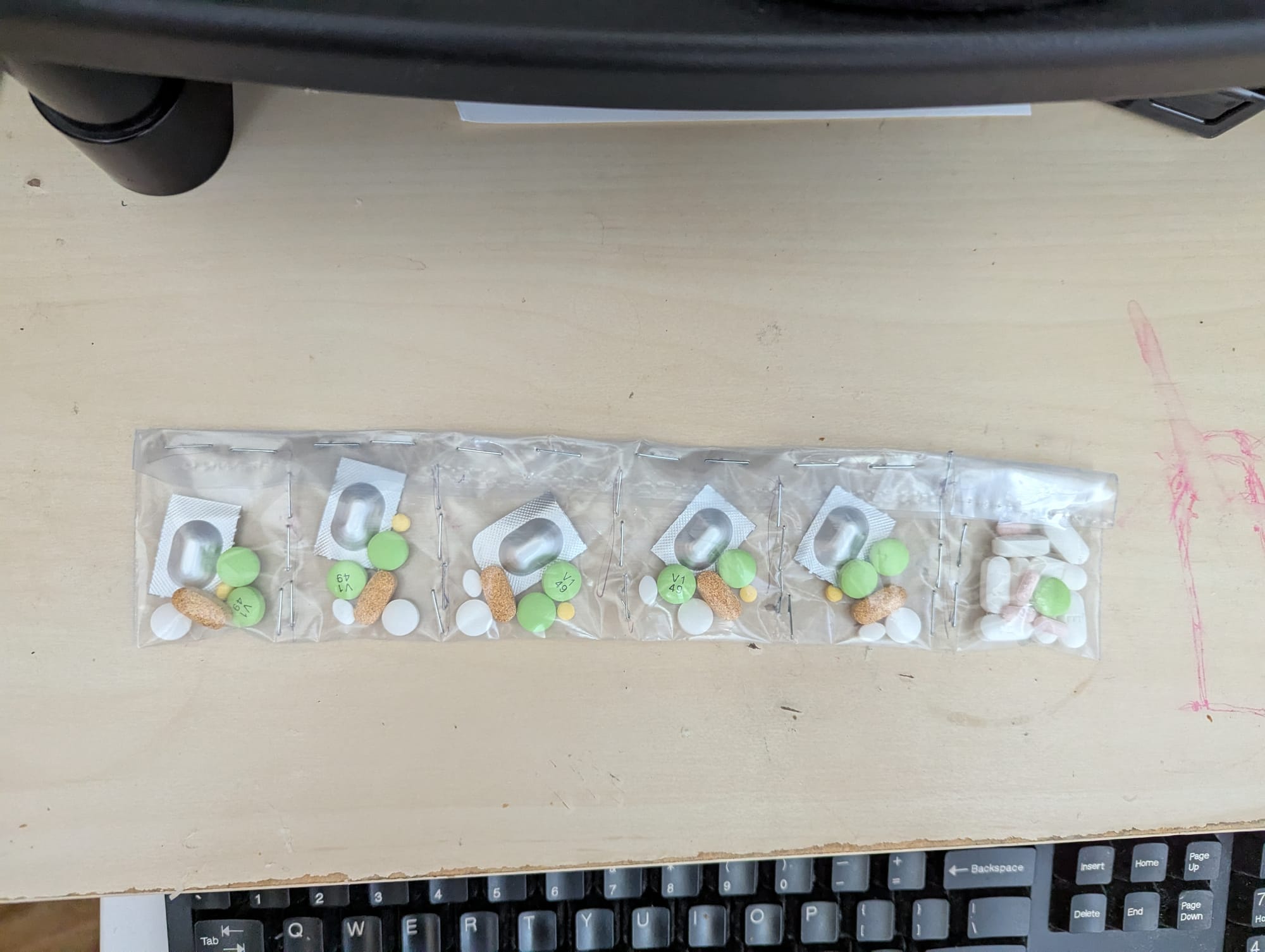
I packed much lighter than last time, bringing only 2 sets of clothes and virtually no disposable items that weren't part of a first aid kit, and leaving various other non-necessary items behind. This turned out to be a great decision; I felt so much more organized and had an easier time finding things, packing, unpacking etc. And my pack was noticeably lighter. I ended up only needing one of the battery packs, and the library book and piece of cardstock I folded to make a makeshift journal were great additions. (The "field notes" throughout the rest of the post are excerpts from that journal, including what songs became stuck in my head completely unprompted)
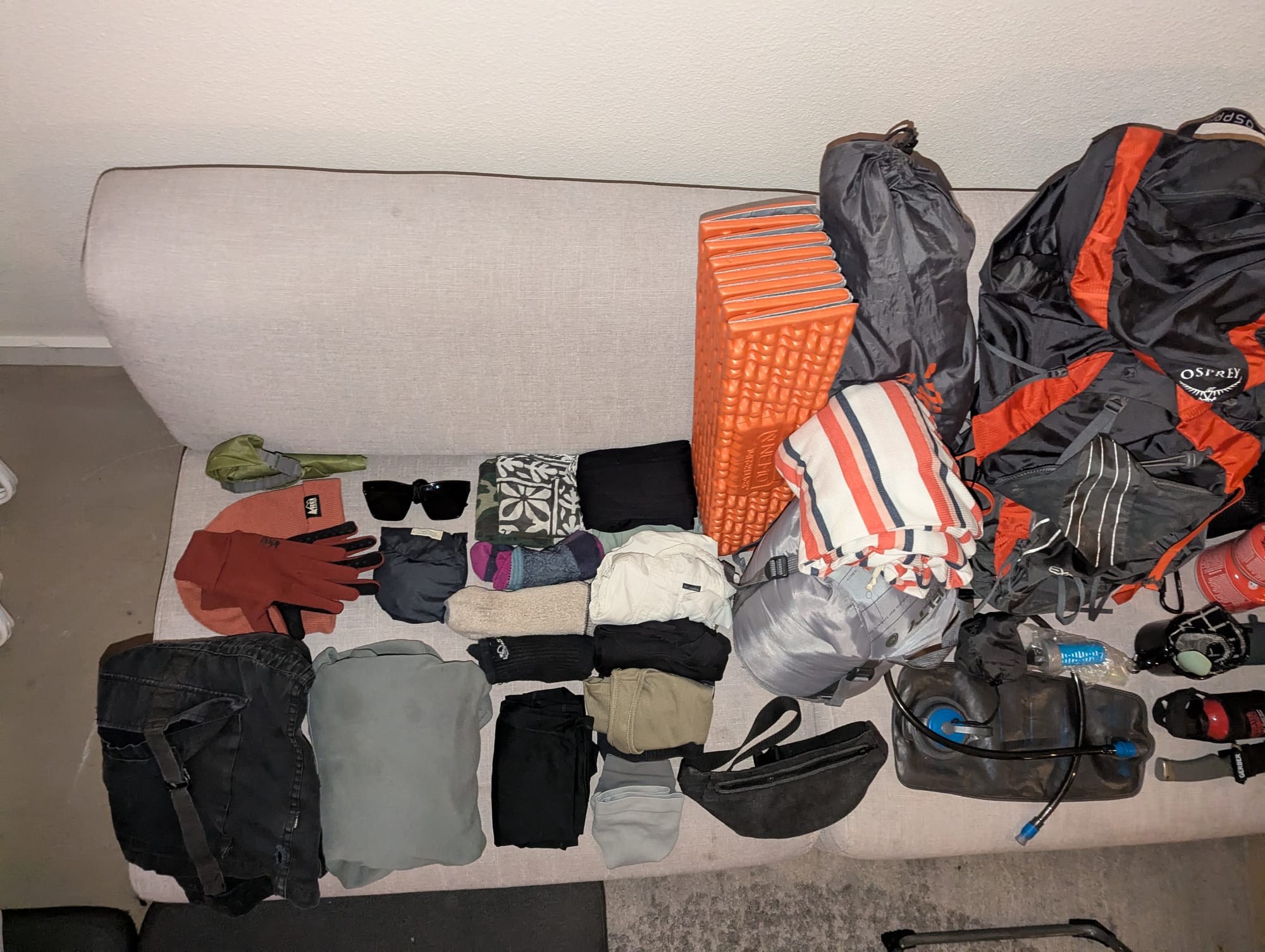
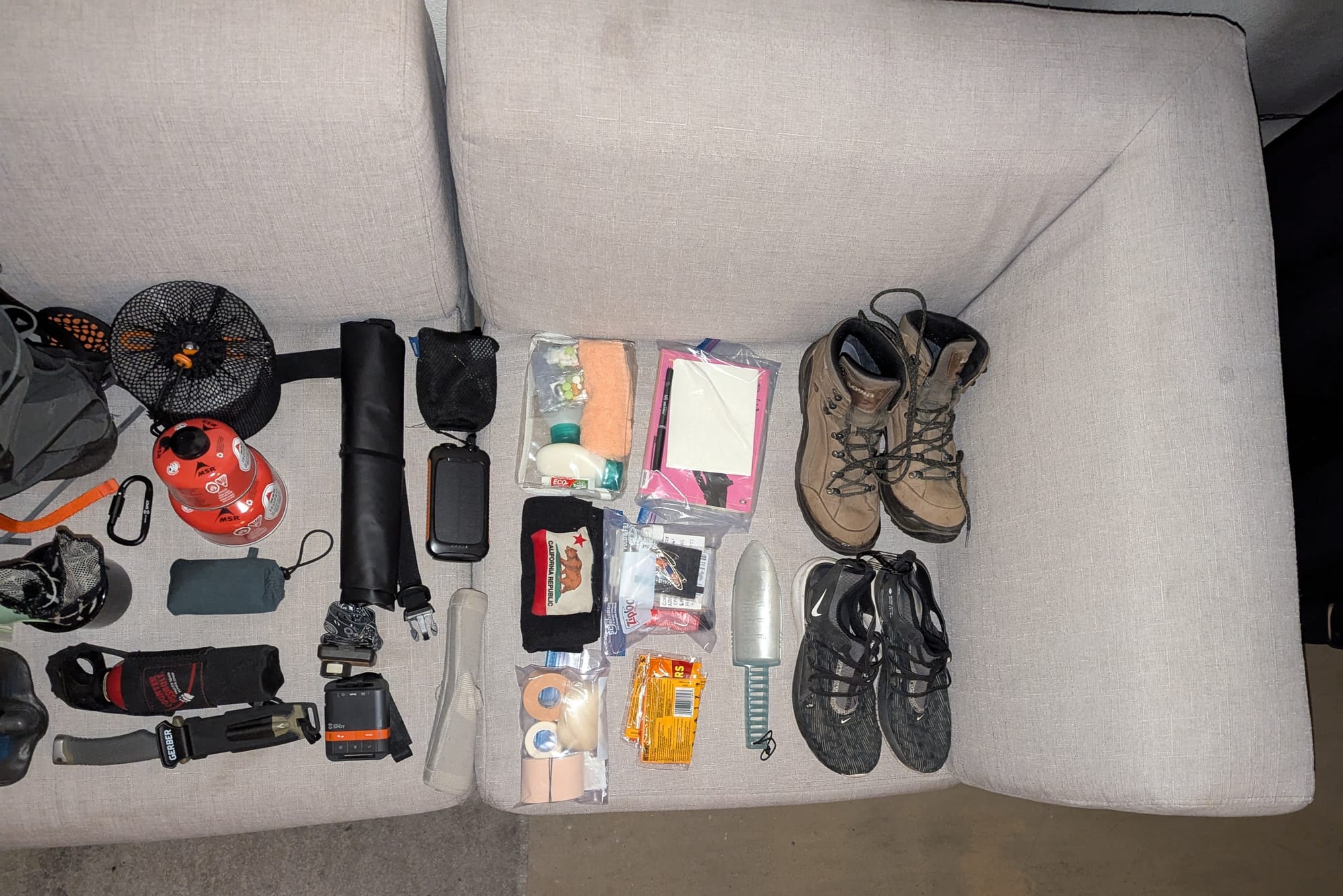
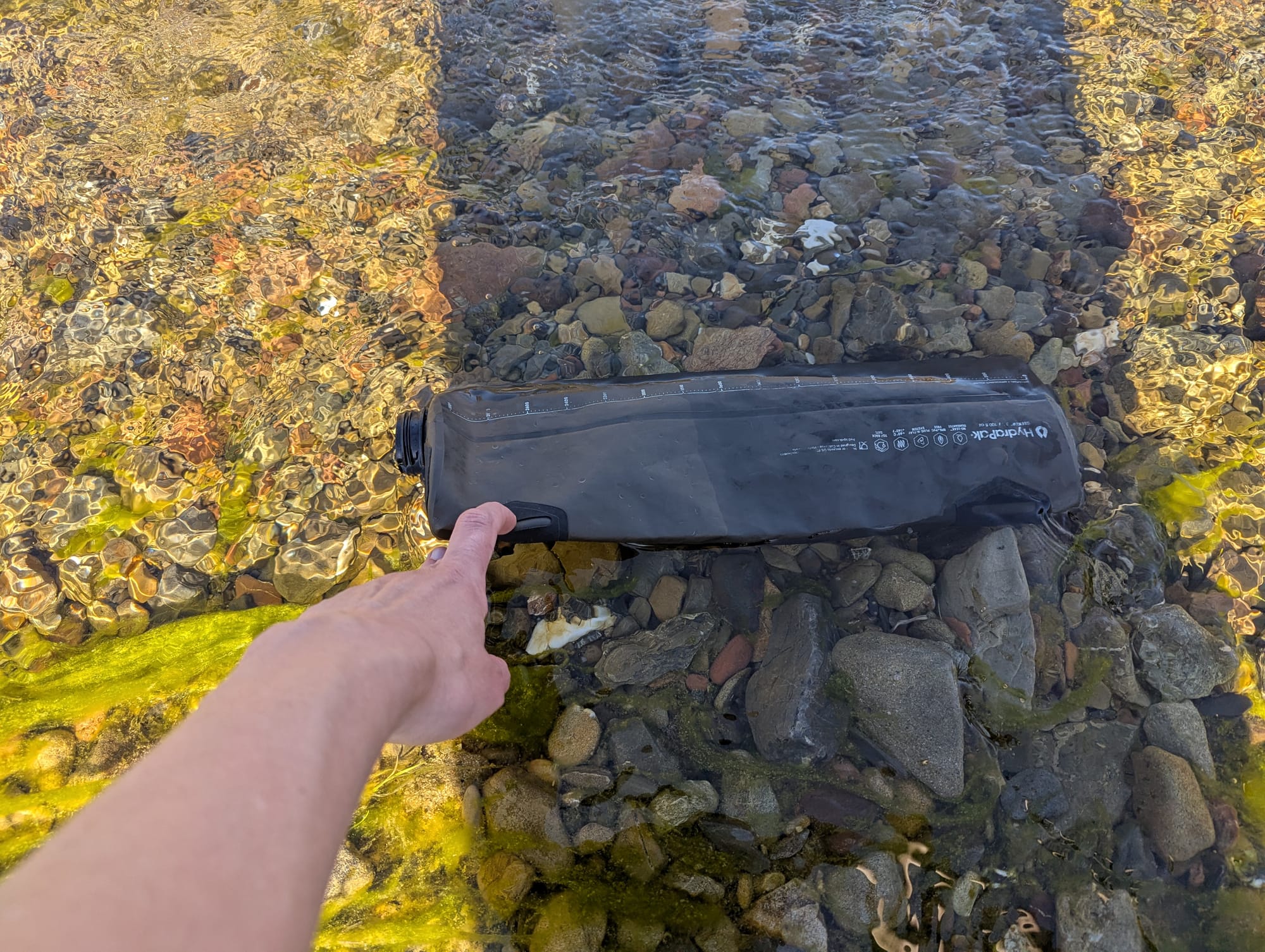
image 1: clothes, sleeping pad, sleeping bag and liner, waist pack, water reservoirs and filter, backpack, tentclothes, sleeping pad, sleeping bag and liner, waist pack, water reservoirs and filter, backpack, tent image 2: camp stove, utensil, cup, dish towel, compass, bear spray, knife, food bag, headlamp, spot tracker, toiletries, small towel, foot care items, tiny library book, pen and paper, first aid kit, hot hands, trowel, hiking boots, sneakers
Day 1
- lizard
- Boogie Shoes
Atomly and I woke up at 6am, gathered all my stuff, had a quick bite to eat, and then went to pick up the Zipcar we rented for the drive. The garage it was parked in was right in the middle of where a half marathon was happening apparently? but we eventually got in, and got out without too much trouble.
We made our way down through the end of the extended Bay Area sprawl, down into farm country, through all the farm stands with impossibly cute hand-painted signs for cherry pies, more avocados than you could ever reasonably use for cheap, pistachios, and more. We turned down a 2-lane road, then onto the steep and winding dirt road leading up to the park. I was still sewing the last bits onto the sleeping bag liner up until we got to the front gate.
At sign-in, you go over your itinerary with a park ranger, including the general area where you plan to camp each night. That day, this entrance was staffed by a cross, or at least stressed-out seeming older woman, and a German guy who seemed newish and trying very hard to do a good job. I walked in and she said "hiking?" "No, backpacking." "One night?" "Four!"
After some fumbling with my giant paper map, I was eventually able to give them all the required info. The woman was distressed when I said I was being dropped off, as they use license plate numbers to keep track of who's in the park. The German was trying to be helpful and come up with suggestions and she wasn't having it. I don't know what they eventually landed on but eventually I was released from questioning.
I went back to the car, got my stuff all situated, gave Atomly several hugs goodbye, and headed onward!
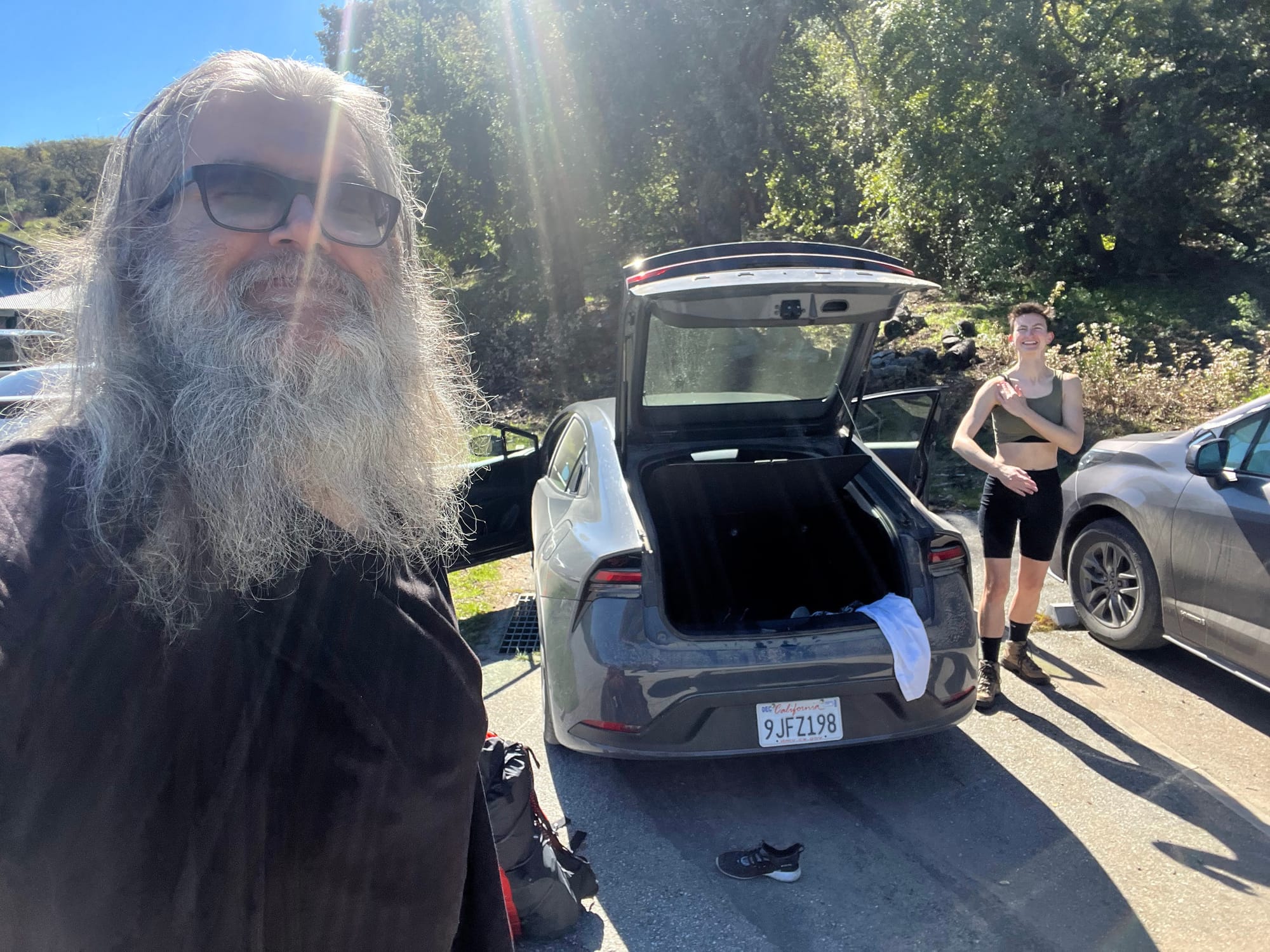
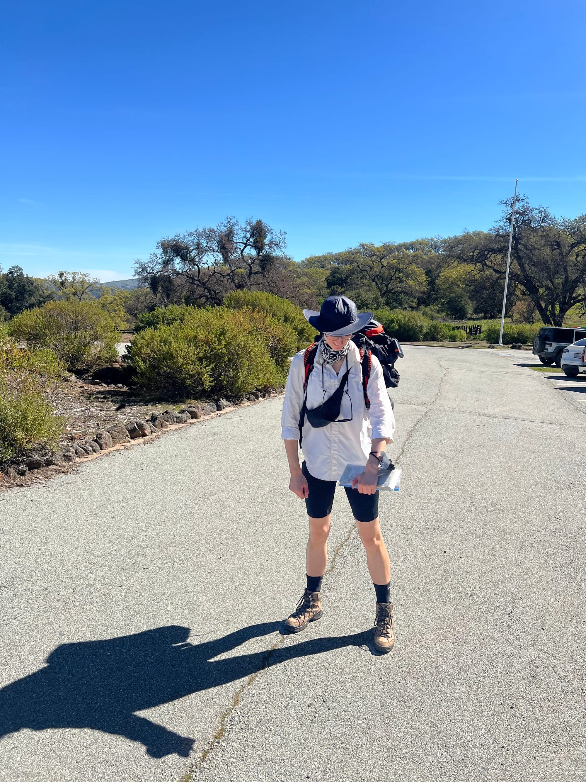
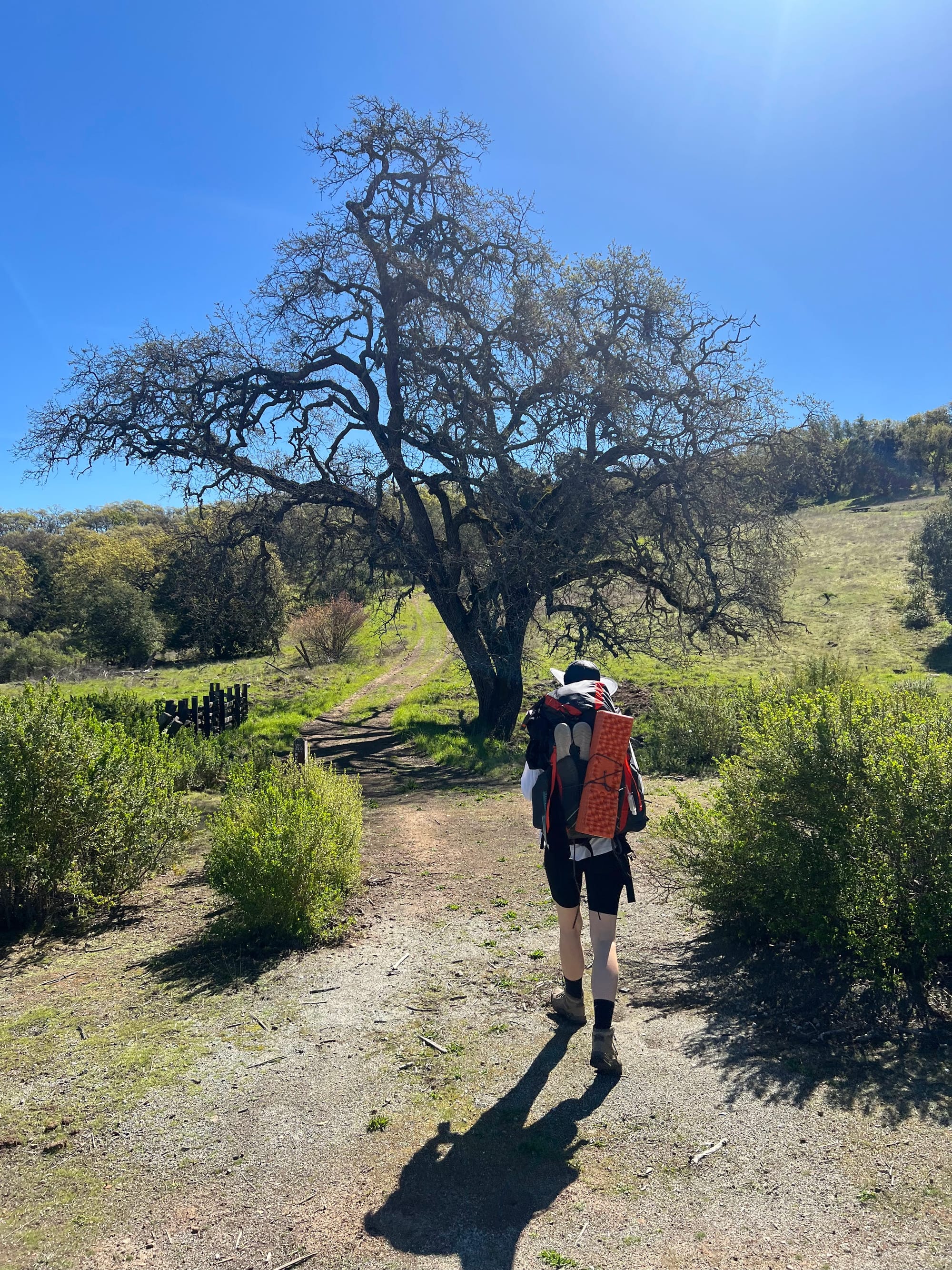
I had knowingly front-loaded my first day with the most mileage – I wanted to make it up to the Orestimba Wilderness zone so I could camp there for the first 2 nights and have a whole day just to explore there. I had 13 miles of mostly steep, exposed dirt roads ahead of me, and a ton of elevation gain.
It was a very taxing day of hiking; I was way behind on sleep from a week of planning and preparing my food and gathering last minute supplies, as well as rushing to complete my huge sewing project. It ended up being unseasonably hot that day too, mid-80's if not even hotter. I pushed on, at times having to stop frequently on very steep sections to catch my breath and keep from overheating.
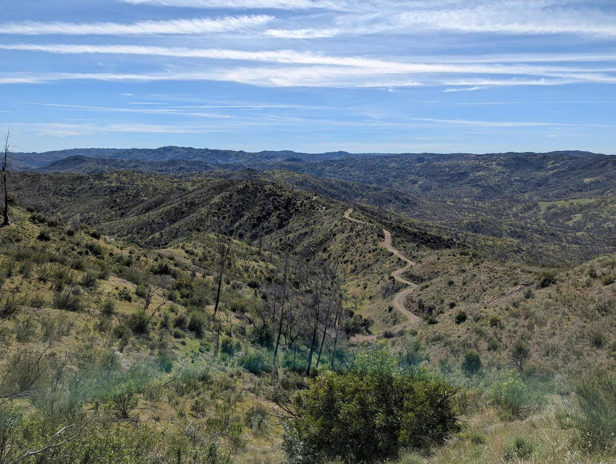
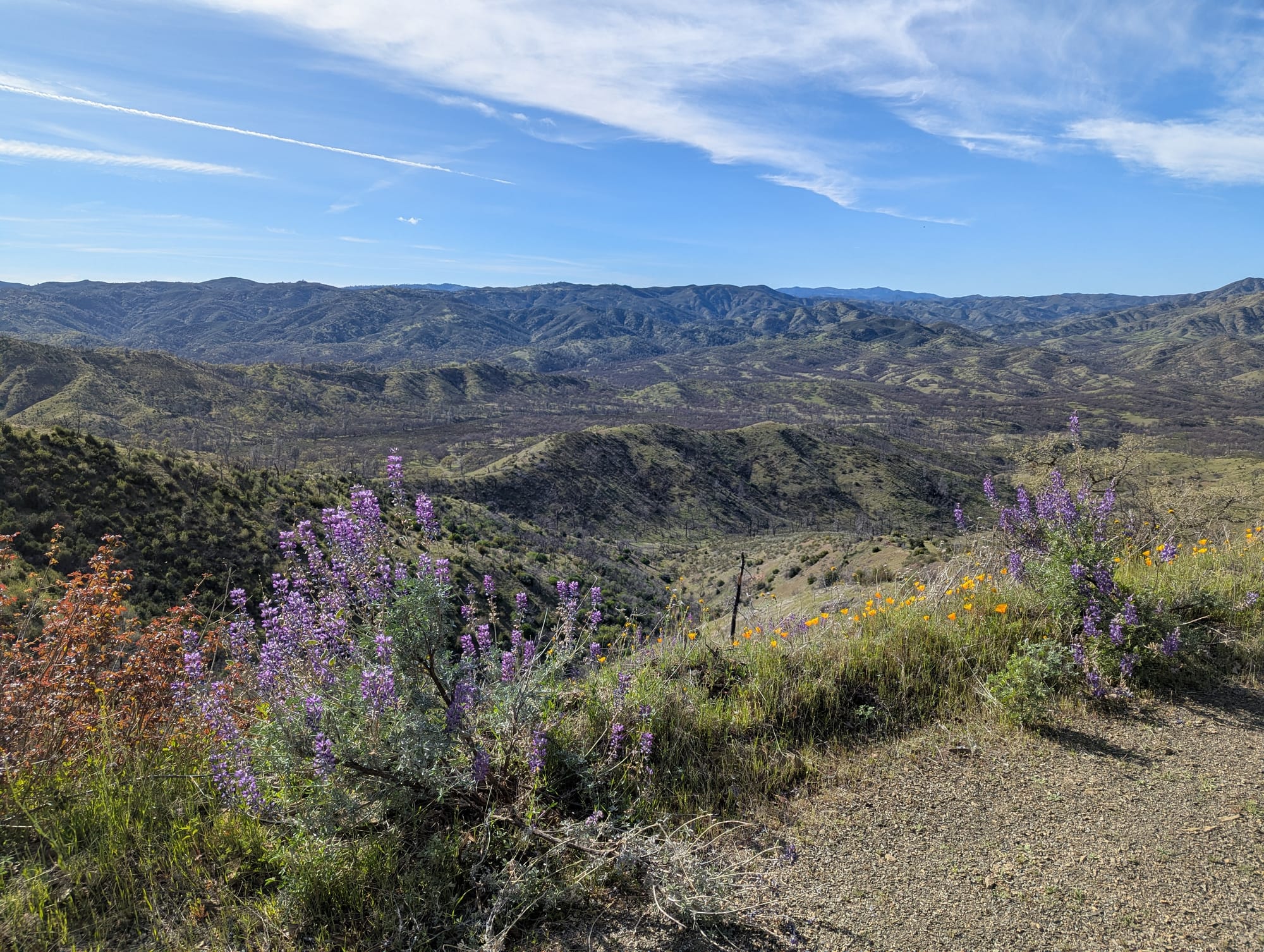
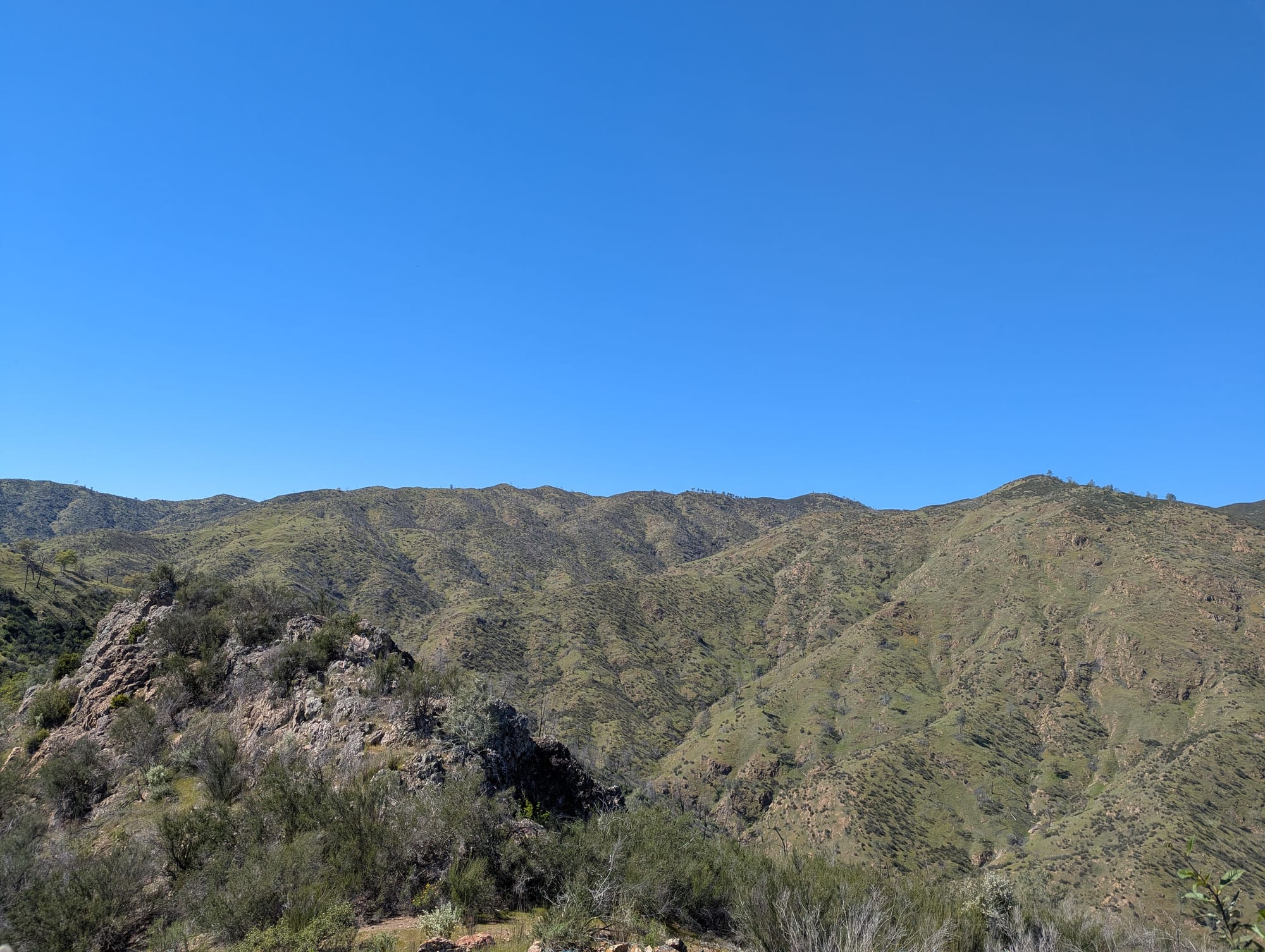
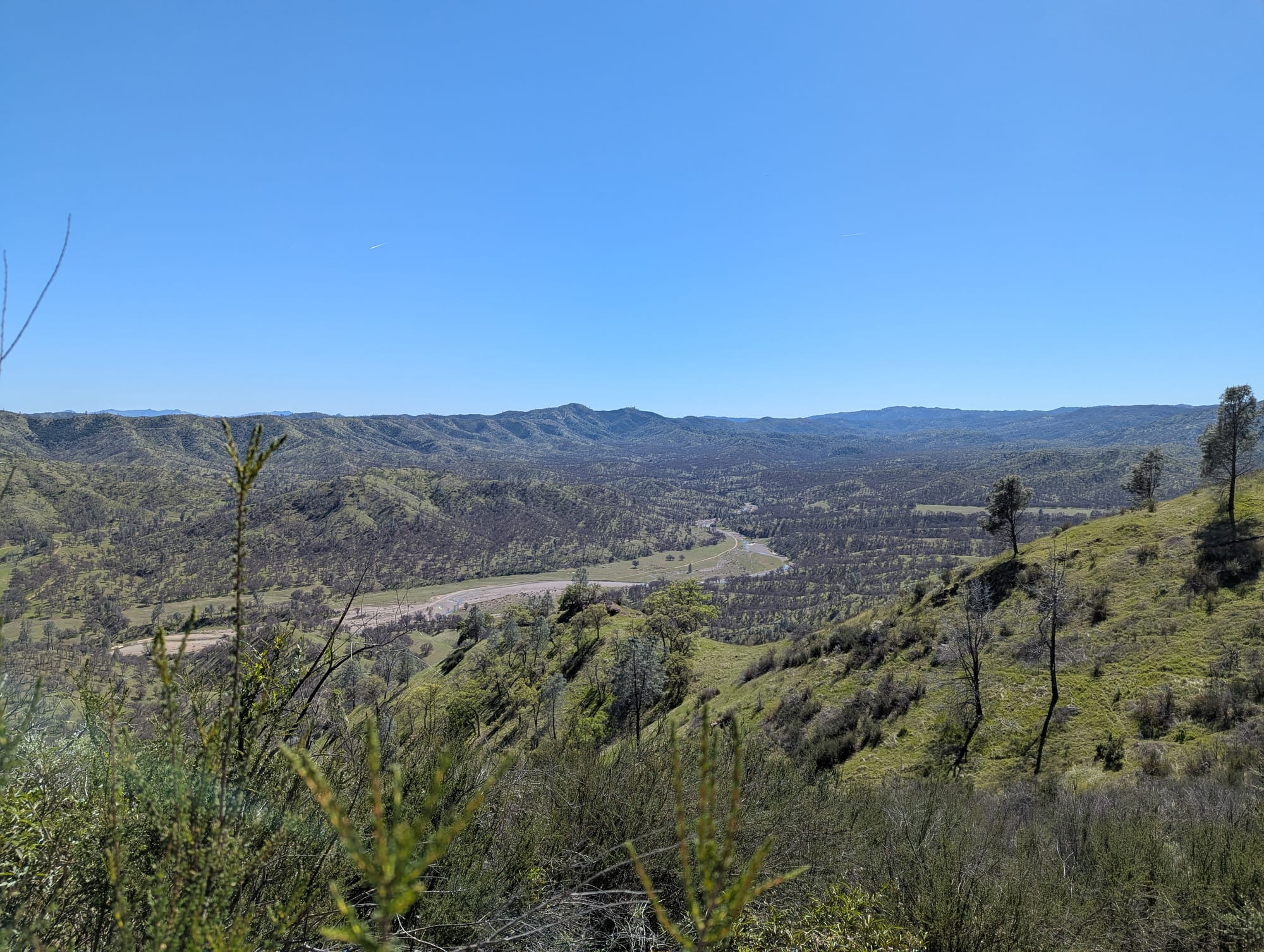
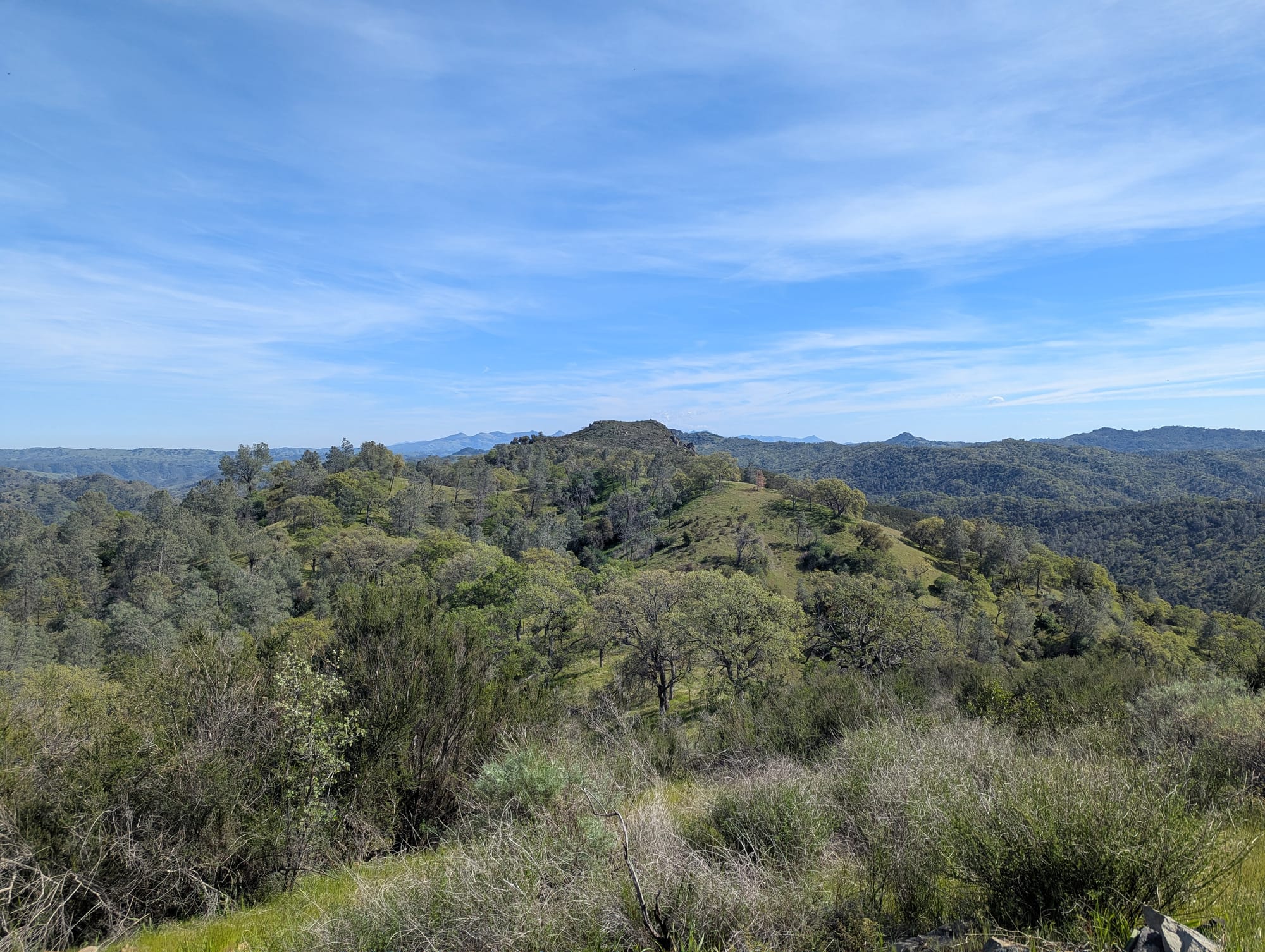
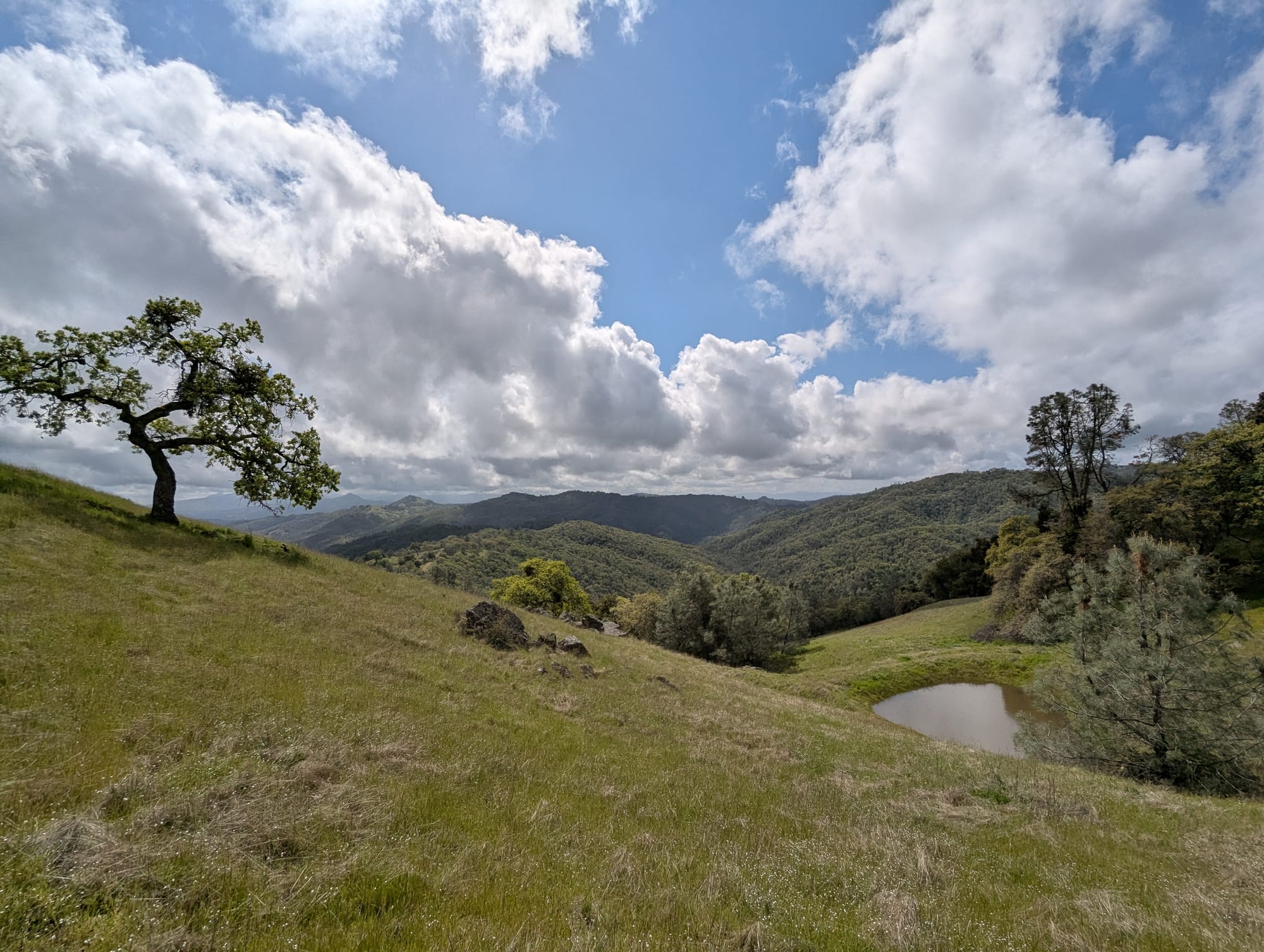
All that being said, it is a surreal feeling, especially once you get up high enough, to realize you are surrounded by nothing but wilderness, nothing but mountains in all directions, as far as you can see, and even farther.
One of these distant mountains had a distinctive rock formation on top. I had Rooster Comb in my sights! This gave me a little boost of much-needed motivation; I was going to make it this time, damn it.
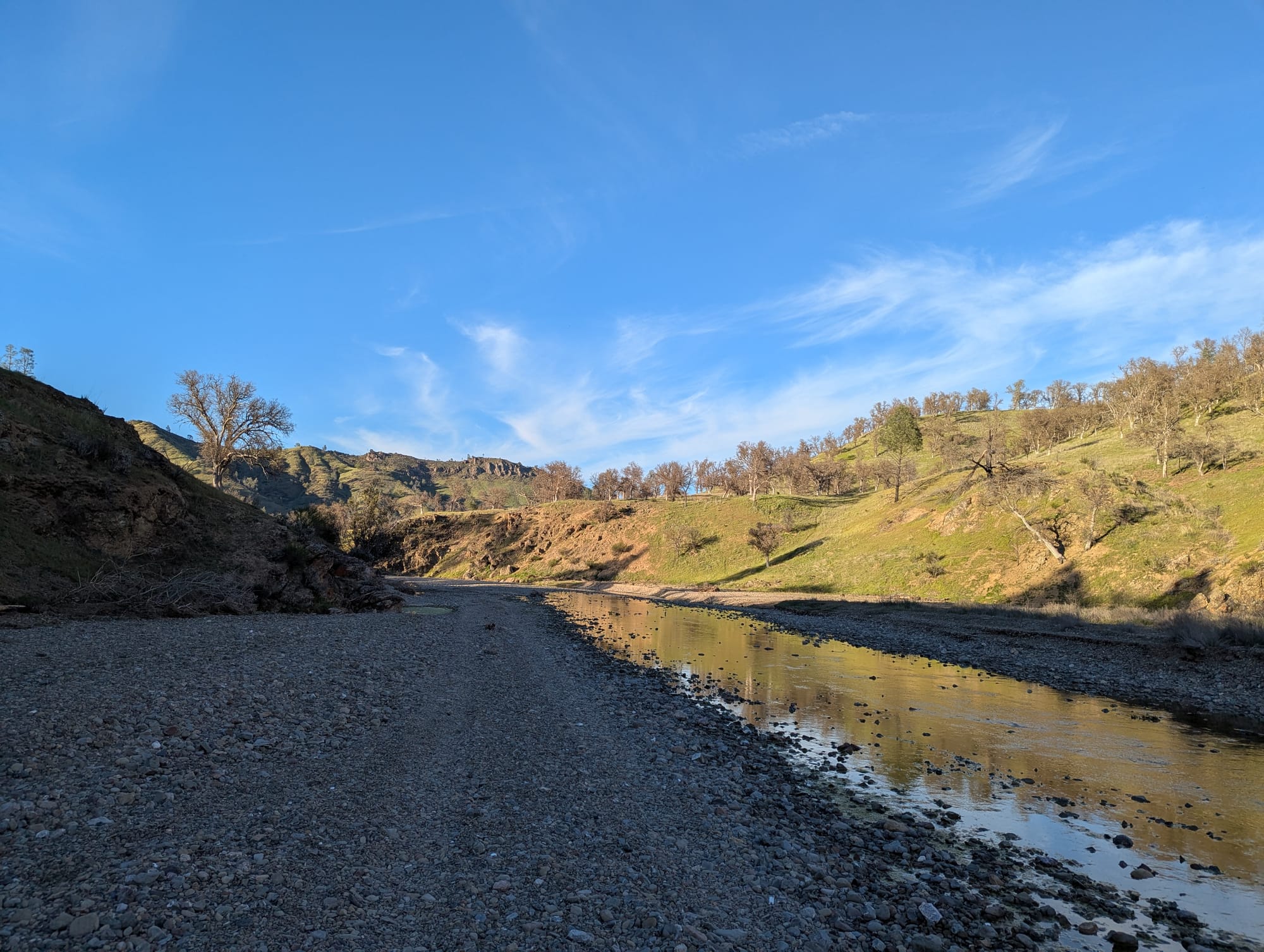
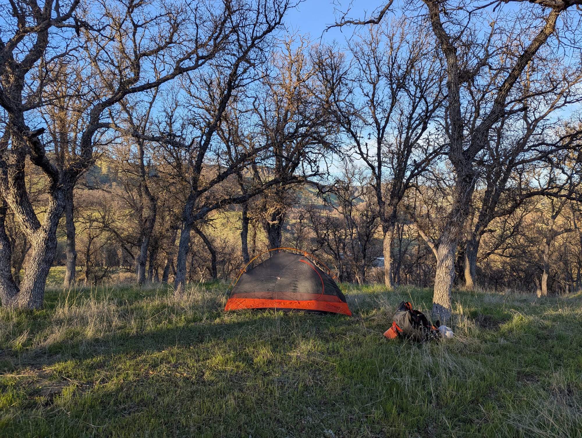
Eventually, I made my way down off the ridge to Orestimba Creek, and soon, much to my excitement and relief, came across a sign marking the beginning of the state wilderness. Paradise Flat, where I planned to camp for the next 2 nights, was just a mile or so down a road from here. I made it almost to Paradise Flat, but my brain saw a nice, level-looking area under some oak trees and said "that's it, we're camping here."
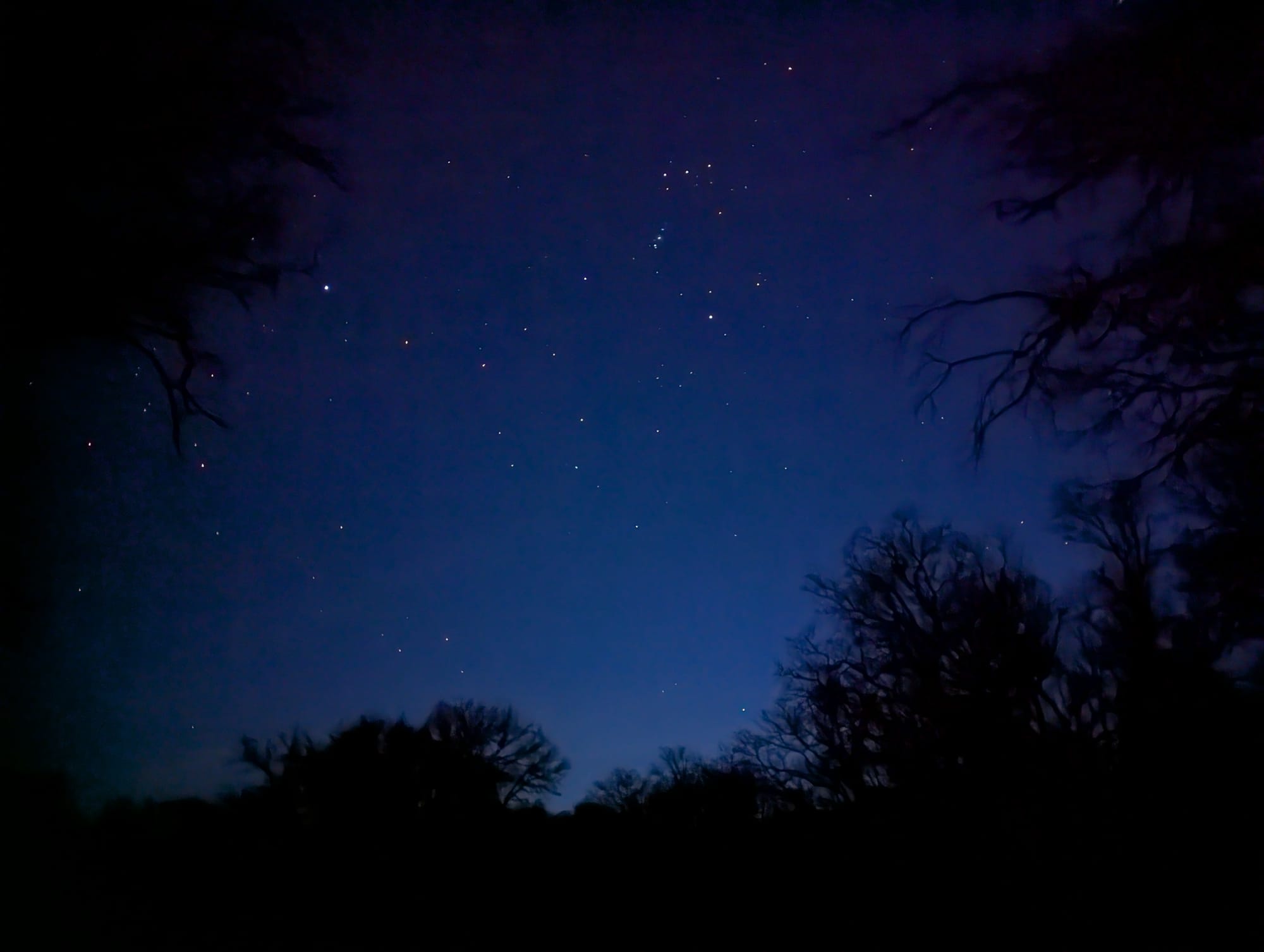
I set up camp, made my dinner, and sat in my tent watching the stars for a bit, as the coyotes came out to sing to each other from across the meadow. I was asleep before 9, and had this weird kind of sleep paralysis-adjacent dream within a dream that I have when I'm really REALLY behind on sleep:
Then I'd wake up from that dream, into another dream, where I'd laugh and tell the people in that dream about my mountain lion dream. THEN, the whole process repeated, multiple times: mountain lion dream, can't scream, "wake up", talk about the dream, then actually wake up.
Day 2
- woke up to hogs screaming
- cursed oatmeal
- tasty curry
- Styx - Renegade, America the Beautiful
I woke up on the second day feeling pretty exhausted from the 13 steep and sweltering hot miles I'd done the day before. Since I was camping in this spot for 2 nights, I'd set aside this day to explore the Orestimba Wilderness. I'd planned a giant loop, following a creek around the inner perimeter of the region, with some optional sidequests. But I'd also told myself that I was free to just hang out in my tent and rest all day if I needed to.
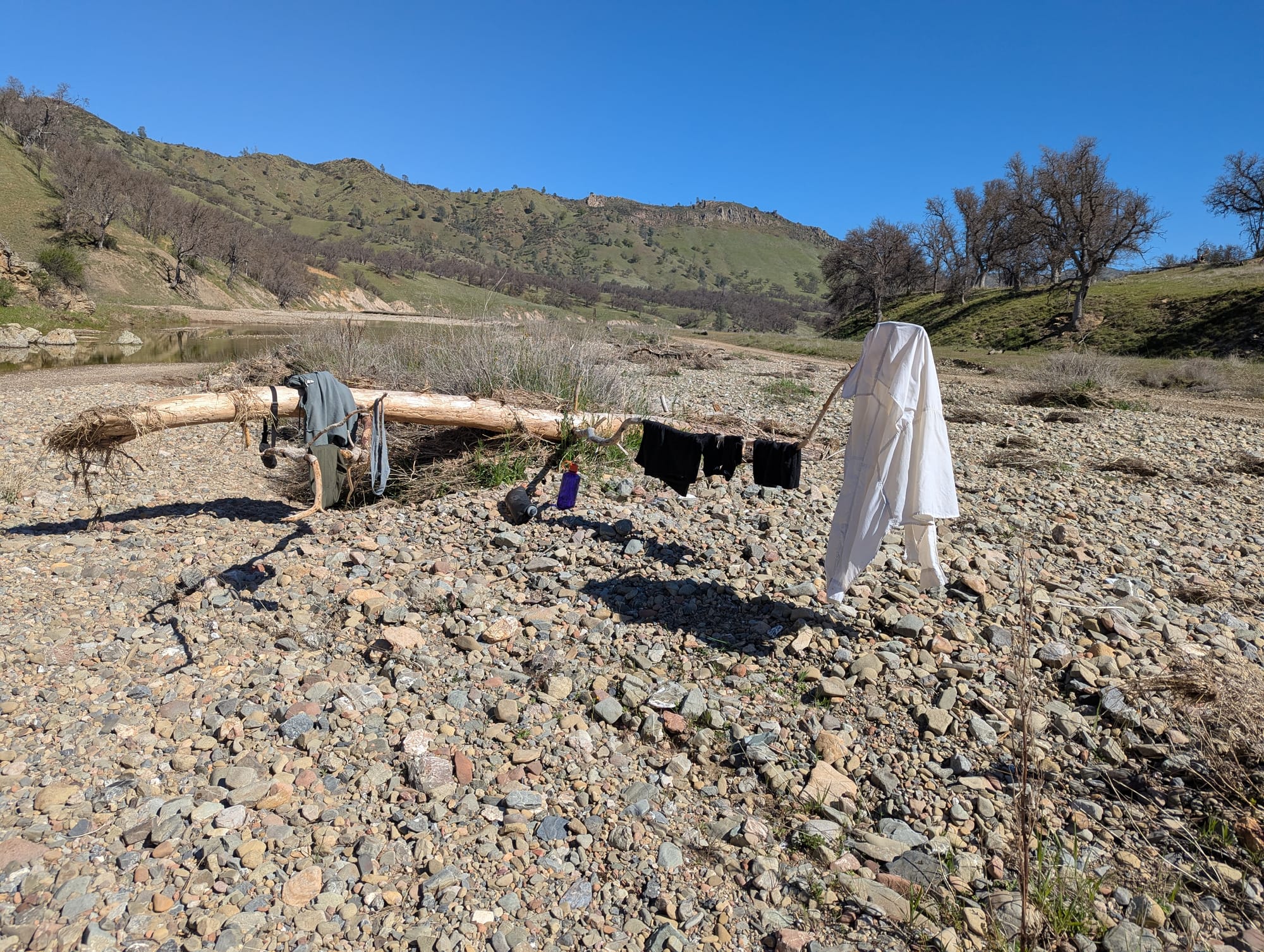
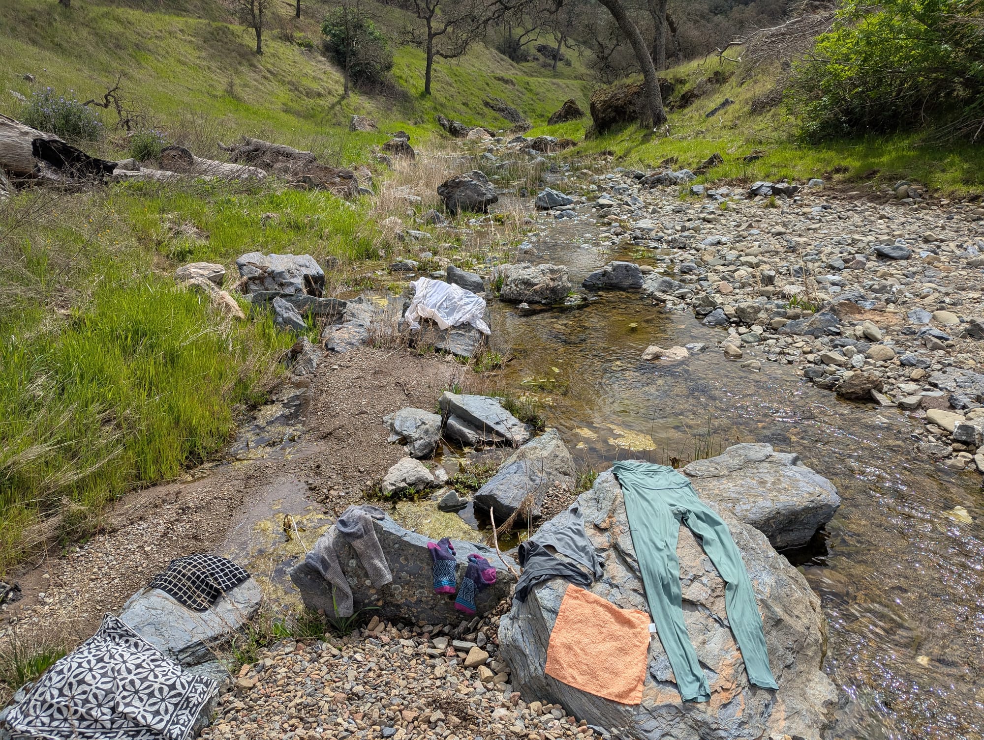
I decided to split the difference, and hike up to the top of Rooster Comb, my white whale from my last trip. I had a leisurely morning getting ready, then walked down to the creek to fill up on water and do some laundry. I don't know why, but I found creek laundry to be a fun and pleasant little task. I didn't use any soap, just washed my clothes against some rocks to eliminate about 2/3 of the stink. All of backpacking is a grimy endeavor but there are levels to the grime.
After dropping off my clothes back at camp, I followed the road (which is really just the creek bed) up towards the chert formation of my dreams. It was HOT again that day, at least in the mid-80's.
The eastern edge of Rooster Comb is part of some guy's private ranch, with the park boundary cutting the mountain in two. The gate at the property line had the whole "we don't call 911" sign with the shotgun on it.² Didn't make me feel too comforted to go on the portion of the trail going up the mountain that crosses into his property, but it seems like there's an agreement that hikers can access the mountain as long as they do so from the trail above and not the road.
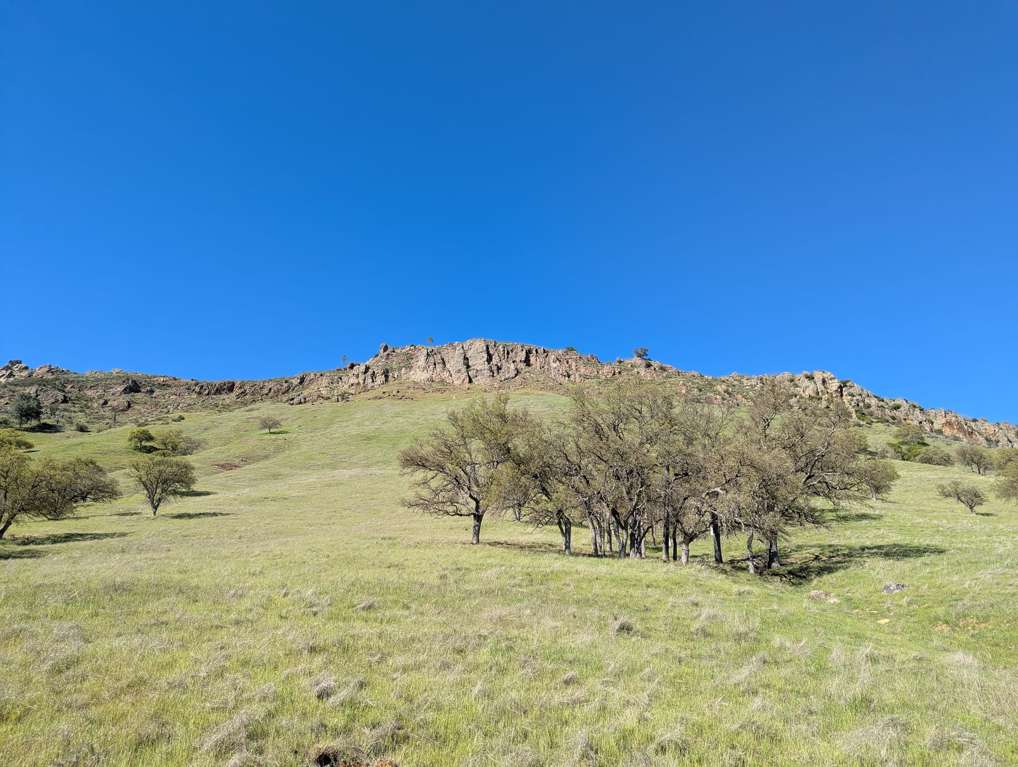
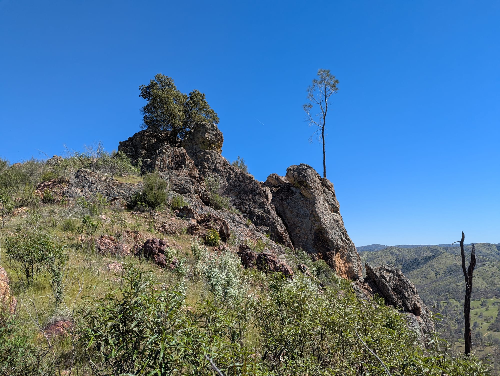
The trail going around Rooster Comb was comfortable, with easy switchbacks, and went through some pretty oak woodlands. The summit trail, however, had not been maintained recently and probably rarely sees use. I fully lost the trail at multiple points, and had to do a fair amount of bushwhacking through fallen burned trees and dense scrub intertwined with poison oak. It was hot and the trail was steep in a lot of places, so I just hiked long enough to peek up over the rock formation at the top.
It was only a 3-4 mile hike round trip but I still ended up rationing the liter of water I brought up with me. I'd stashed a second water container behind a tree at the trailhead, and was very grateful for this brilliant moment of foresight when I made it back down. I was too exhausted to do too much more exploring that day, and ended up going back to camp and taking a nap. I took a sunset walk through Paradise Flat and went to bed just about as soon as the sun went down.
I was beating myself up a little bit for not getting to see much beyond my one little corner of the Orestimba Wilderness, wondering what all I'd missed by not going on my grand loop as planned. I decided I'd have to come back and spend a few days there.
Day 3
- delicious cheese grits
- ground squirrel fight¹
- big hill
- Led Zeppelin song I only sort of know 2 lines of
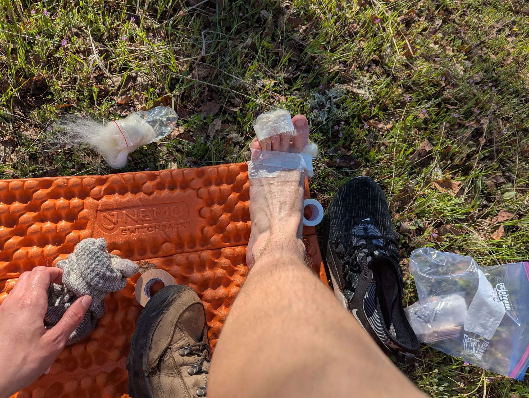
On Day 3 it was time to say goodbye to Orestimba Wilderness and my cozy camping spot near Paradise Flat, and start making my way South. I woke up and did my morning chores, which usually consist of making breakfast, taping up my feet, looking over my route for the day, and collecting water.
I followed Orestimba Creek for a few miles, and decided to take a short detour to check out Mustang Pond, on the recommendation of a park ranger.
I was pretty tired and ended up following a fork of the creek in the exact opposite direction, realizing about a quarter of a mile in when the terrain wasn't matching up with my map. I didn't want to go back to my planned route the way I came; it had been slow going with a lot of crossing back and forth over the creek. Instead, I used my topo map to find a route through saddles and valleys, cutting through the steep hills between me and where I was supposed to be.
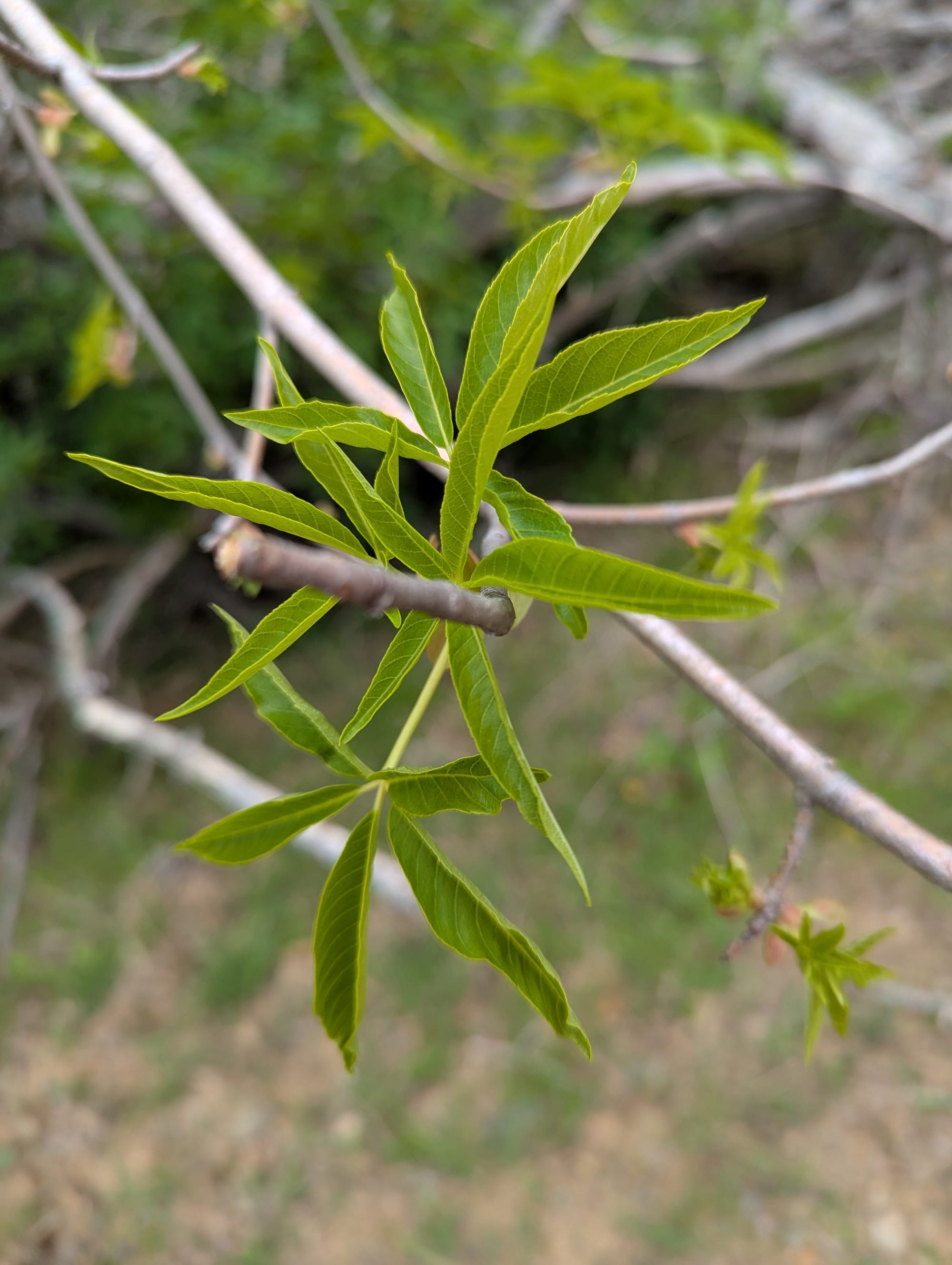
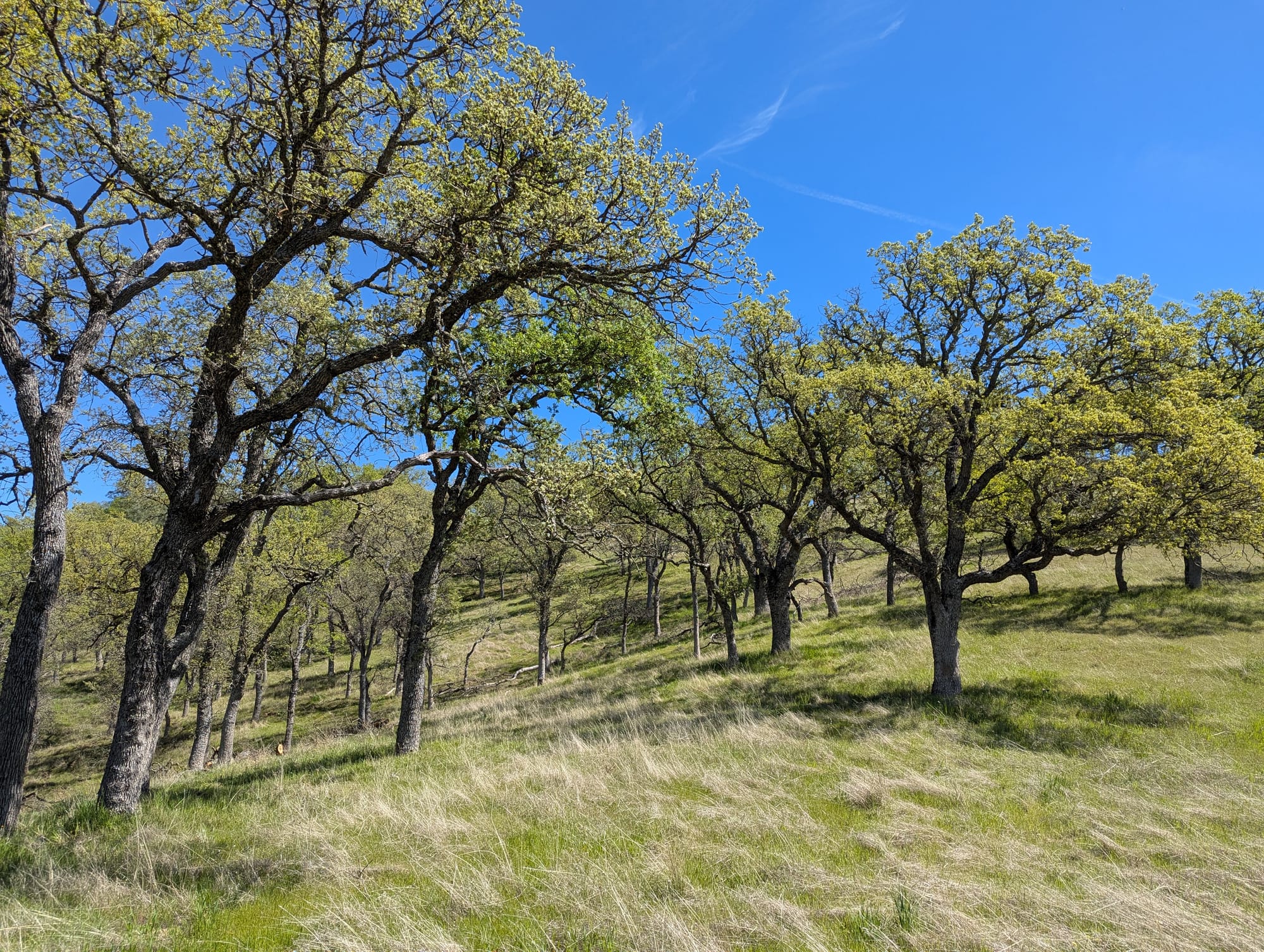
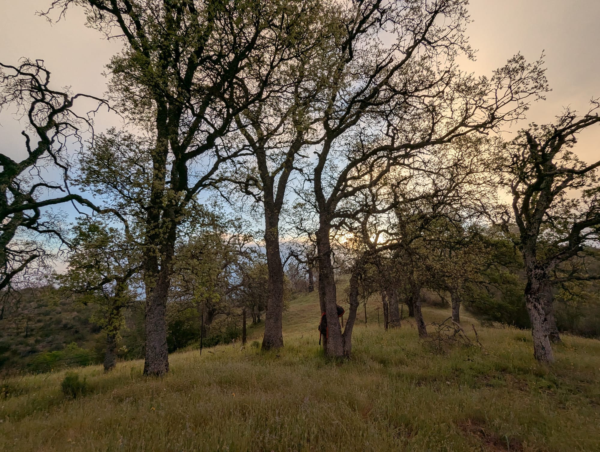
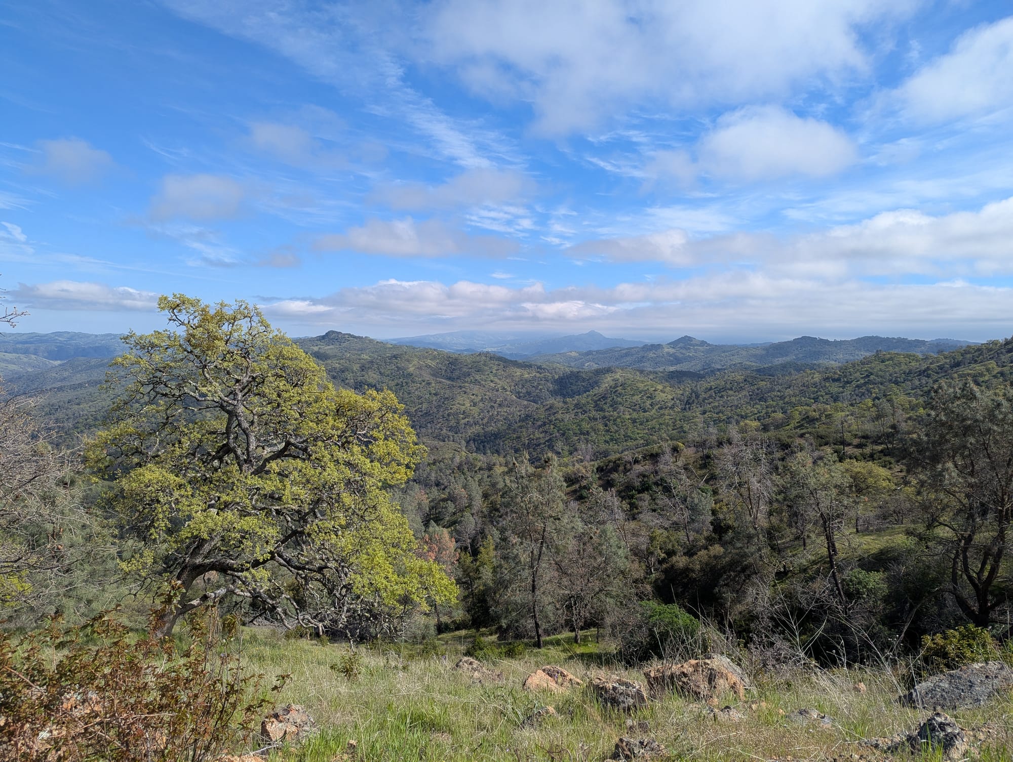
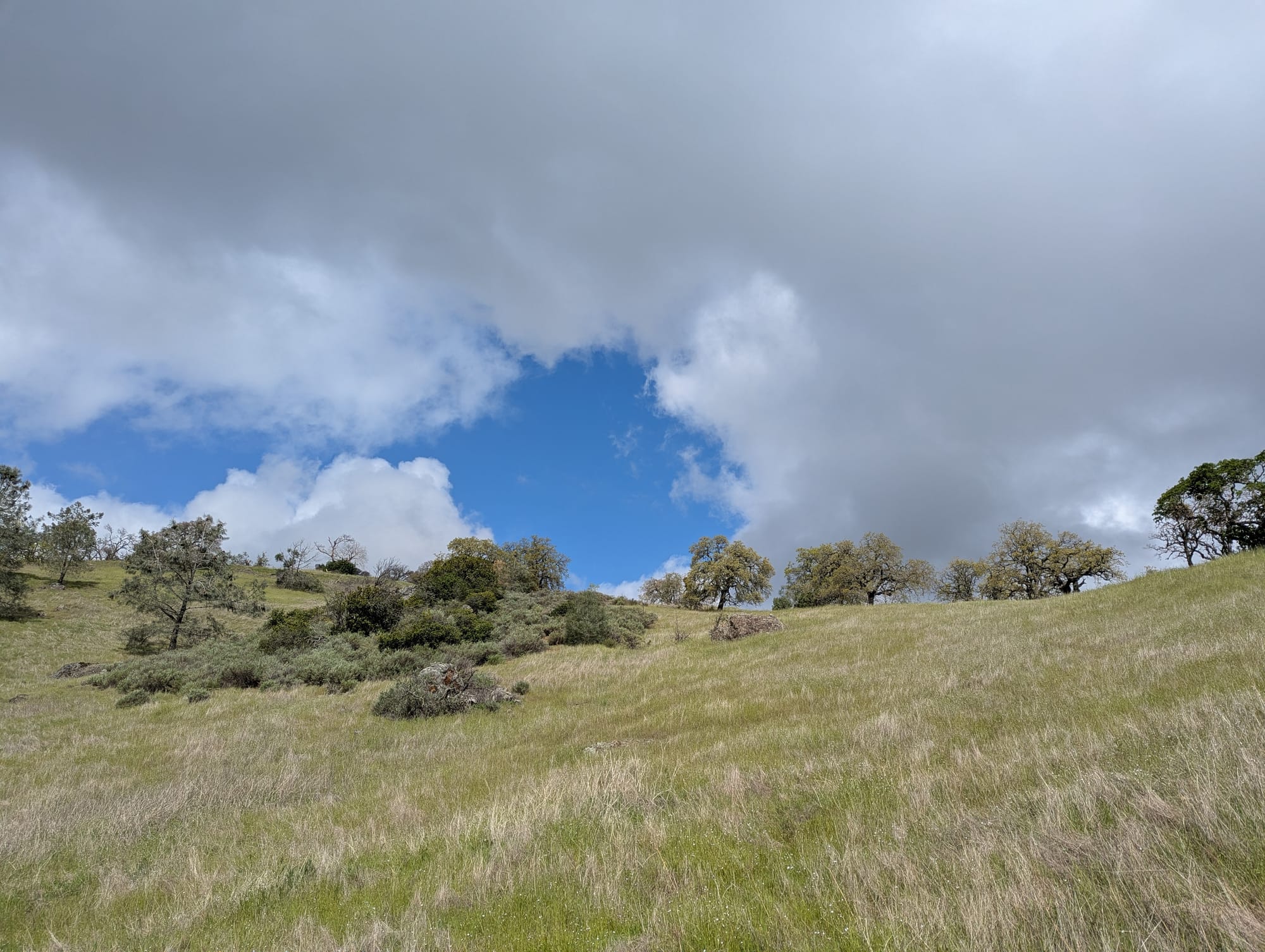
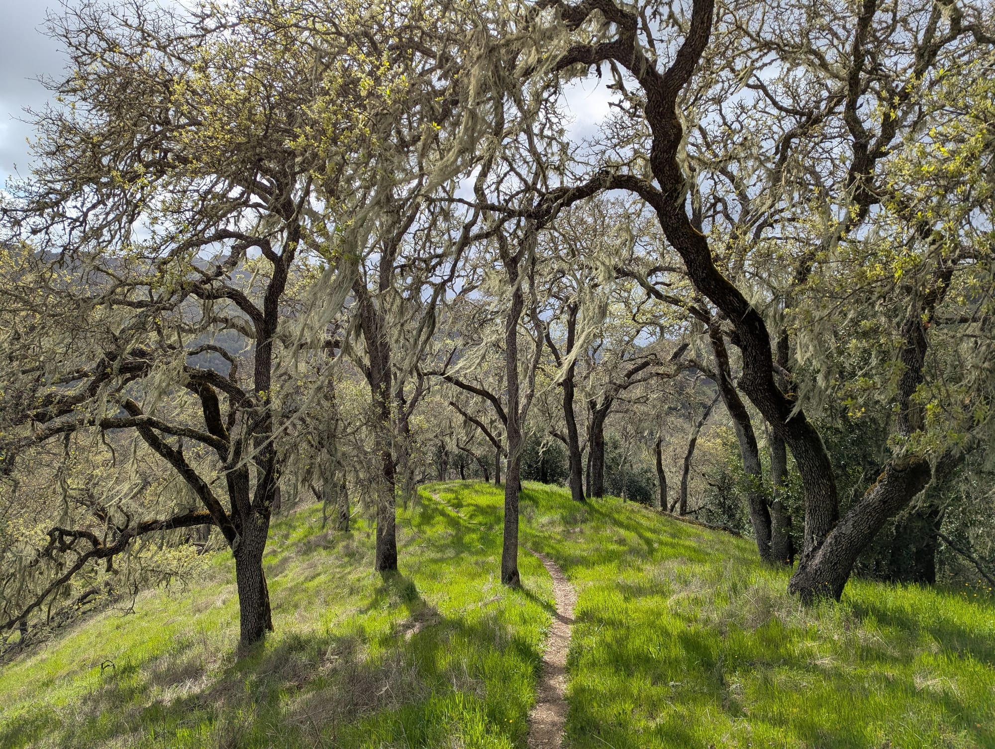
From there, my route took me on a beautiful meandering trail through oak woodlands. This was a single-track trail made for people, unlike a lot of the trails in the park that are old ranch roads, tracing a gentle contour line around the side of the hills. The oaks in this area were just beginning to put out tender, bright green leaves, which glowed in the sun.
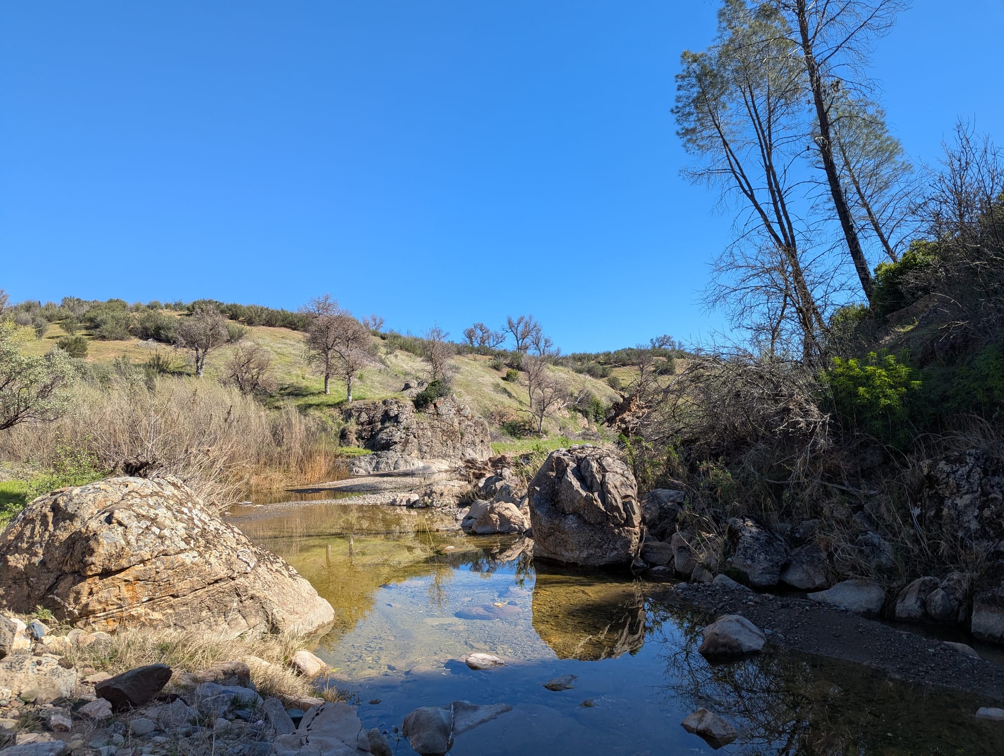
The trail eventually made its way down to follow a creek, and I passed the most alluring looking swimming hole. I wanted to go jump in SO BAD, but I was still in my day hiker's mindset of pushing on, covering ground, making it home before sunset. I only got about 100 yards or so past before I said fuck it and went back. I stripped down to my underwear, jumped into the freezing water, and washed off two days' worth of grime. Reader, I felt like a year had been added back to my life.
After this whole fairytale experience, I had a grueling climb up to the ridge leading up to Walsh Peak, where I'd planned to camp for the night. For my last two nights, I'd sought out ridges on the map that looked like they had some flatter areas, that would roughly evenly split the last 3 days of distance.
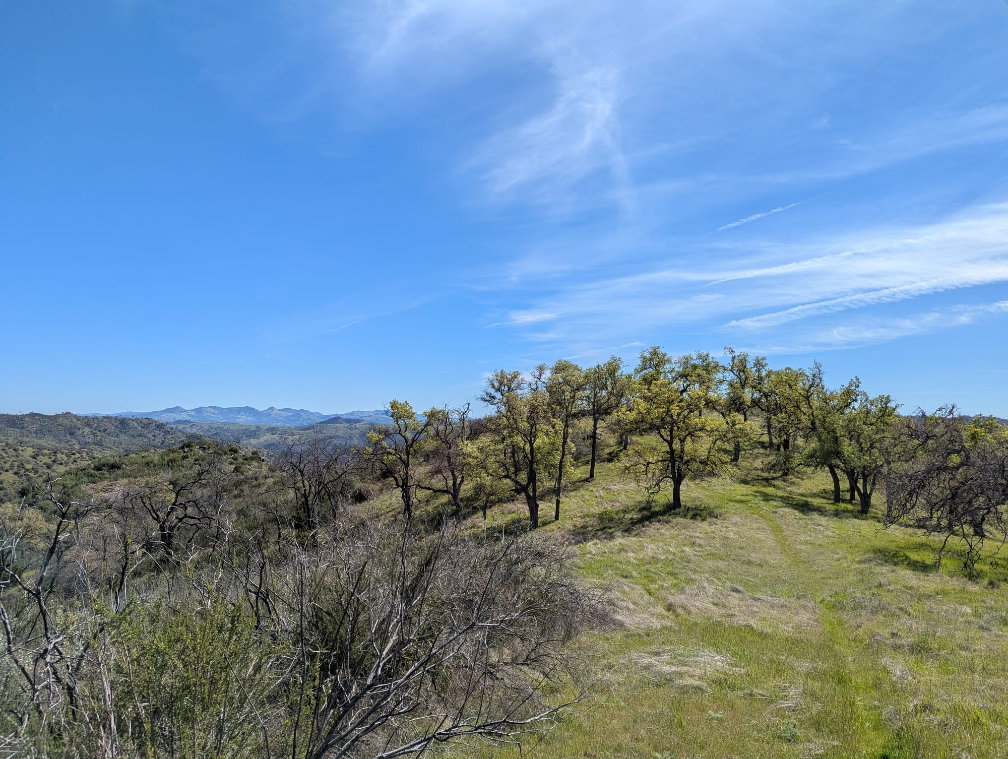
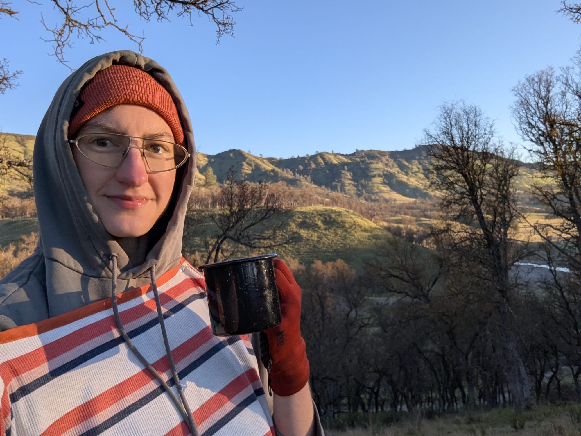
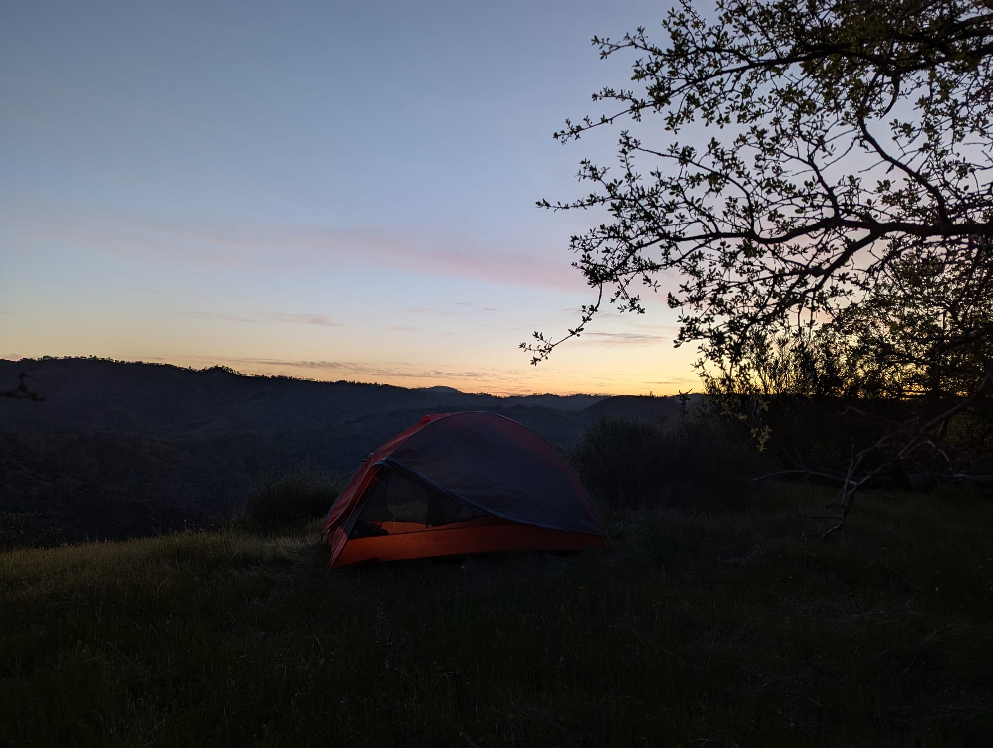
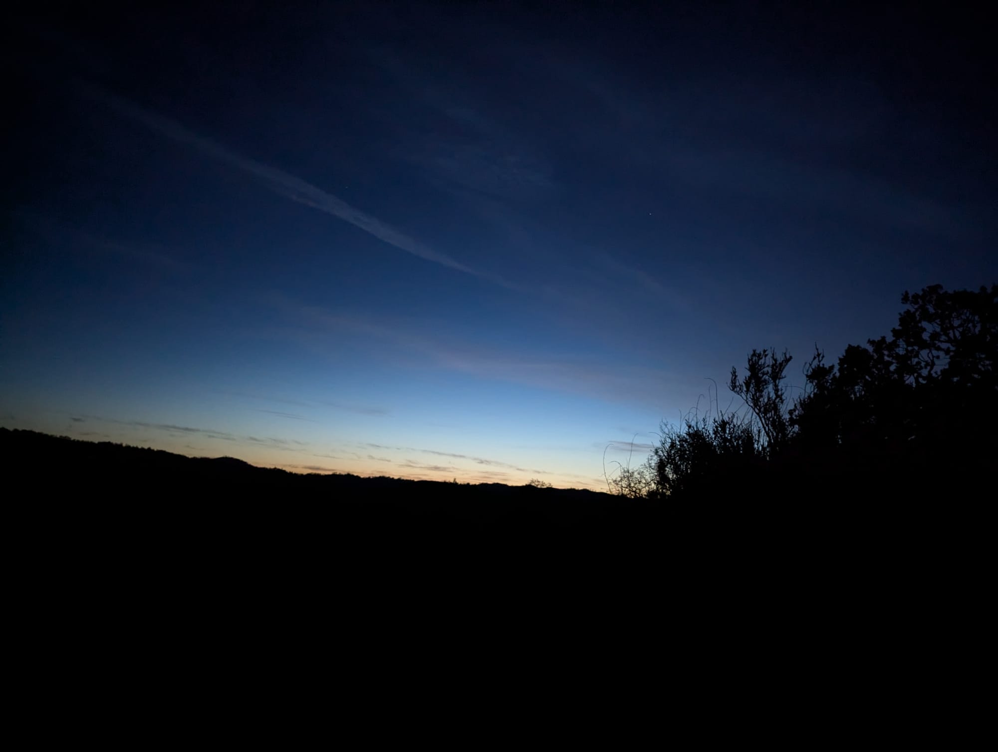
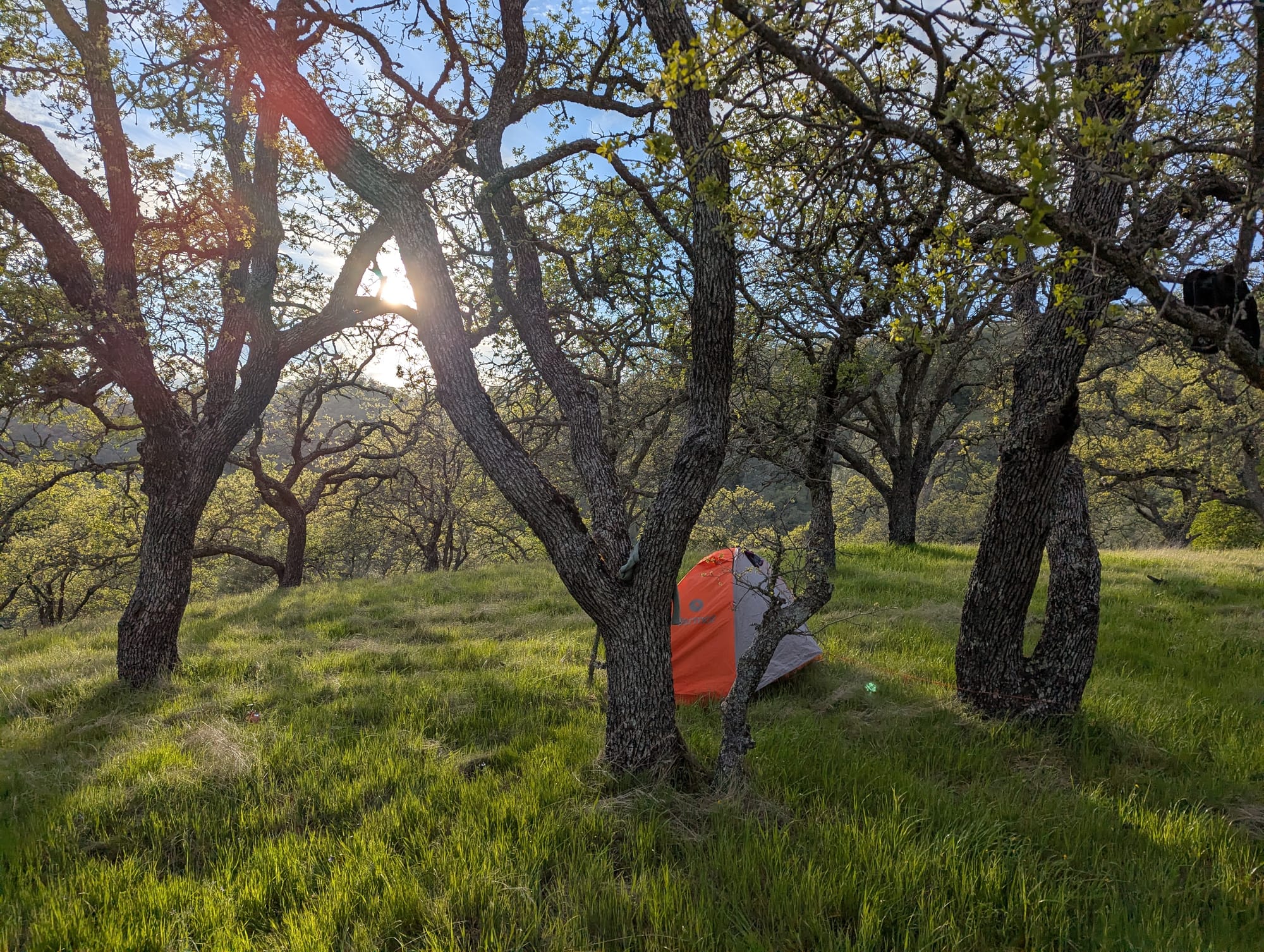
I was too tired to function, and ended up wandering back and forth along the ridge looking for somewhere suitable to set up camp. The view was breathtaking, with mountains fading to blue in the distance in all directions. However, a lot of the flat areas were covered in thick scrub. I finally found a decent spot just off the road under some oaks, and called it a night.
Day 4
- tasty scramble
- lil mouse
- windy as fuck night
- none of my clothes dried
- miserable dinner in cold, root bark stew 6/10
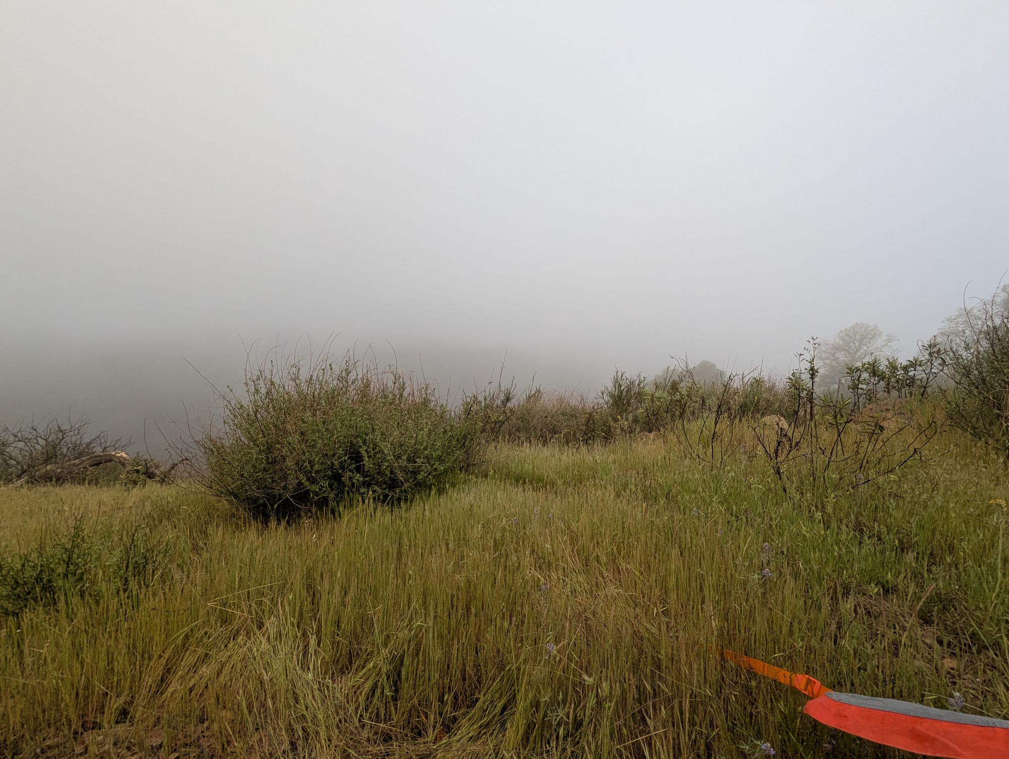
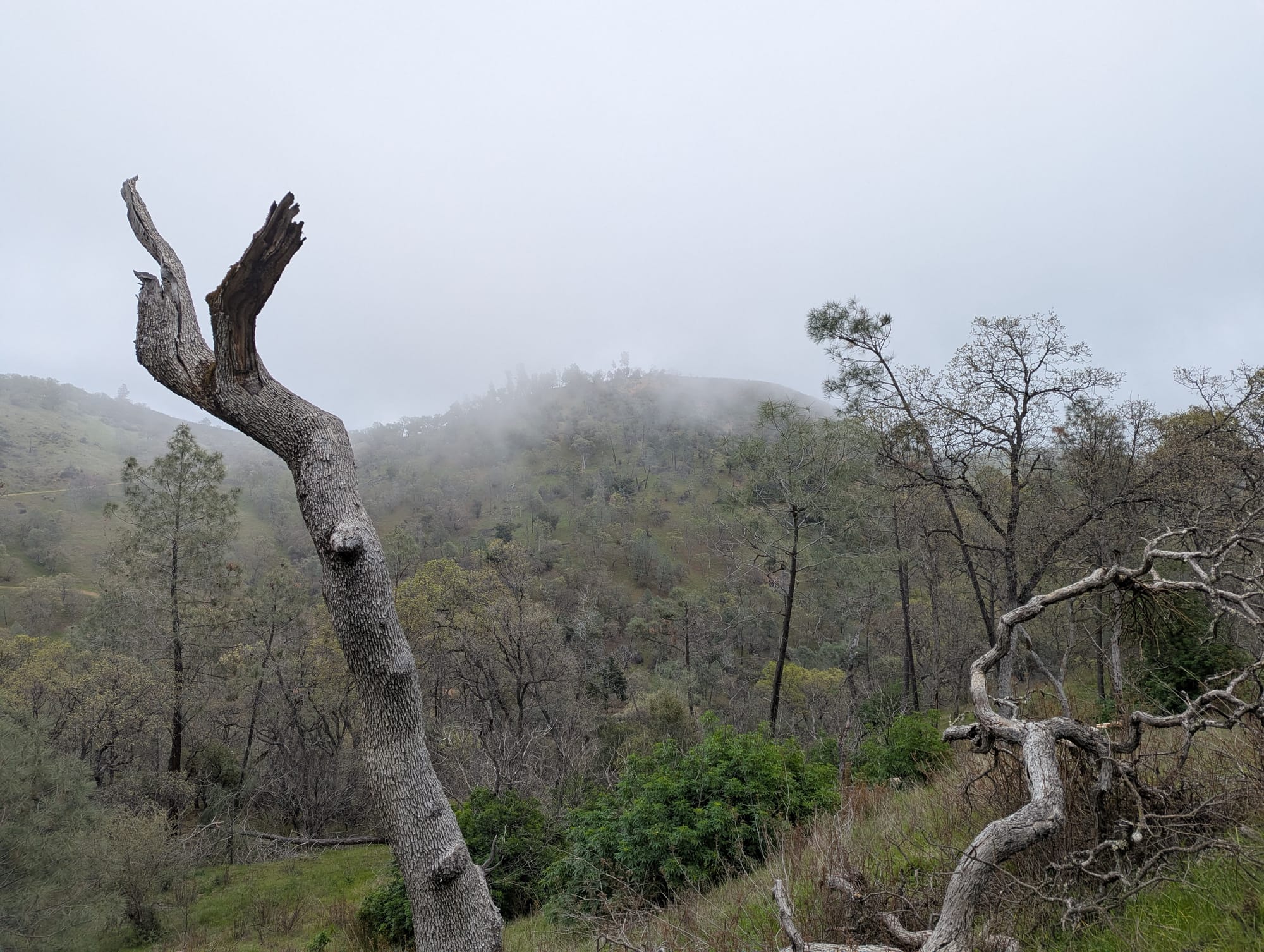
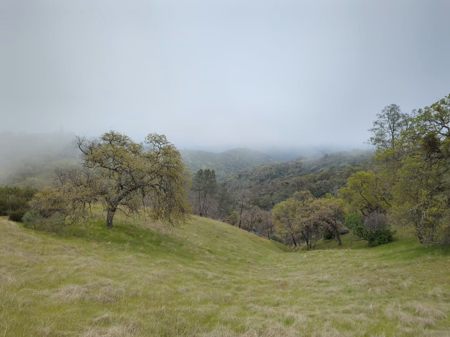
On Day 4 I woke up to a little fog, and then a lot of fog! The plan for that day was to continue South, cover some more miles, and stop for a detour to see Pacheco Falls. I left my campsite as the sun seemed to be coming out, and stopped at a creek to gather water and do some more laundry. I tied my wet clothes to my backpack, thinking they'd be dry within a few hours in the sun.
Pretty much immediately, the clouds came back with a vengeance, and with them, a chilly wind. I had some steep roads to climb that day and was happy to not have the sun bearing down on me (even though I spent that night desperately trying to dry my least wet pair of socks with hand warmers). It ended up being a pleasant time, weaving through the hills inside a cloud.
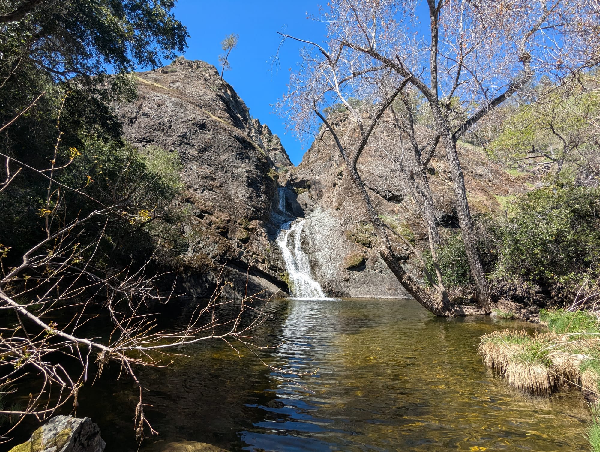
I turned off on the trail that led to Pacheco Falls, and made my way down a treacherously steep dirt road, past a pond, and finally to the top of a huge rock formation. There are trails to an overlook at the top of the falls, and to the bottom, and I started with the former. To see the falls, you have to walk out onto a rock ledge and peer over. I wanted to climb out even further, but I didn't want to become a "Tourists Falls In Waterfall, Dies" headline.
I've never seen a waterfall remotely like this one before. Water cascading down a rock face, into a series of equally sized and spaced cauldrons, flowing down from one to another to another.
After sitting and staring at the magnificent view for my usual 37 seconds or so before I don't know what to do with myself, I hiked down to the bottom. The top view is objectively cooler, but the little pool the falls terminated in was beautiful, and it was just an overall nice place to be.
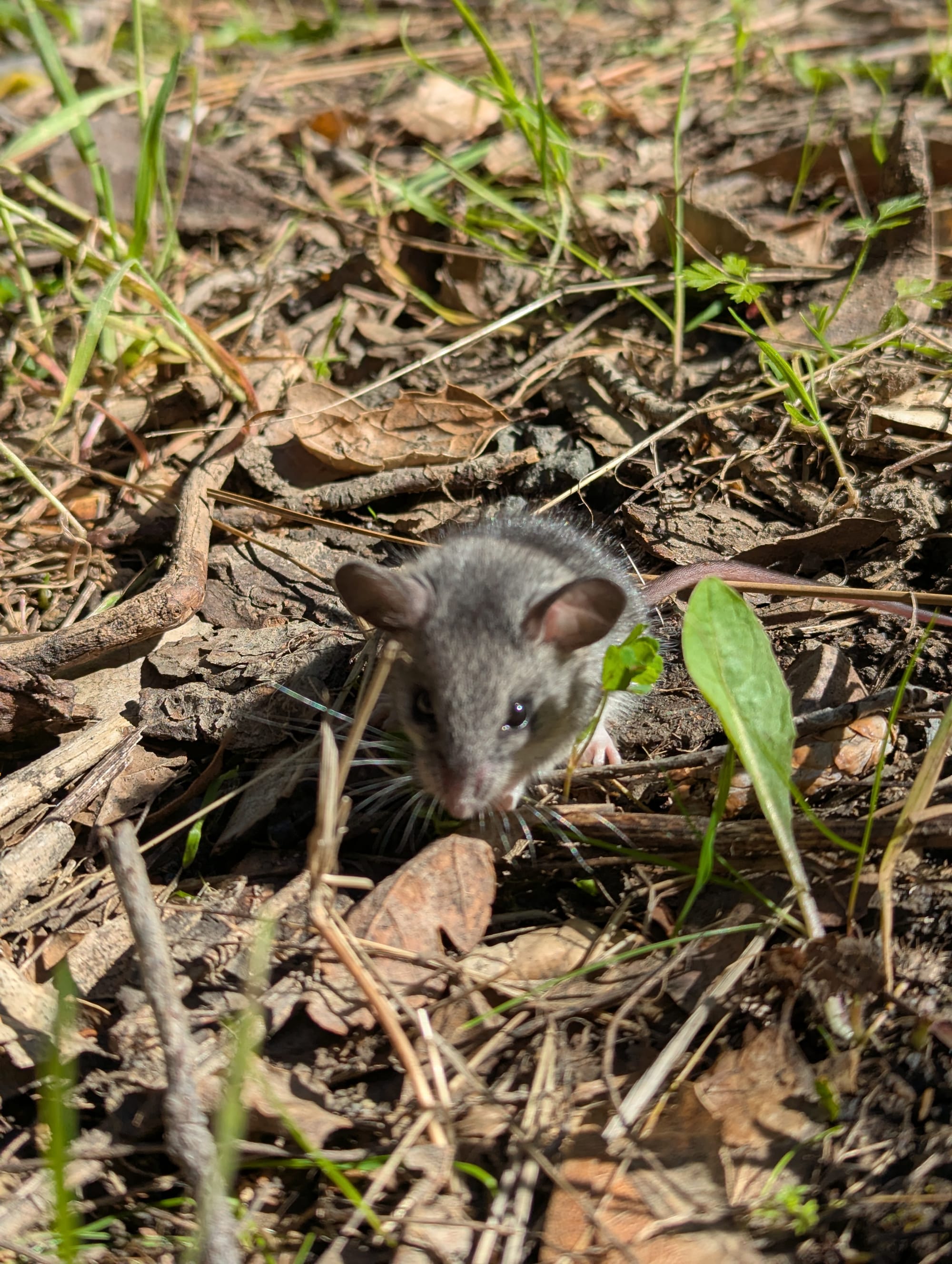
I saw this tiny mouse of some sort, a real live cartoon character. I never have a problem leaving wildlife alone, letting them do their thing. I have NEVER had to resist the urge to just scoop a guy up in my palm and carry him with me on my shoulder like I did with this creature. I left him there; besides, where could I take him that is better than where he lives, a beautiful fucking waterfall.
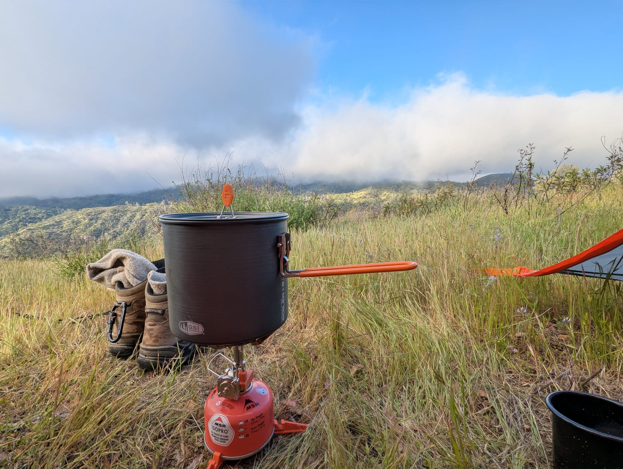
After the falls, I hiked to the ridge where I would be camping that night. I decided that I'd camp at the first decent looking spot I could find, determined to avoid the delirious walk back and forth indecisively looking at potential spots. By then the afternoon fog was coming in, and soon it was unbearably cold and windy. I had to hide in my tent until it died down long enough to boil water for my stew. I ate as quickly as possibly squatting down in the grass, huddled in a proctive ball like an armadillo against the wind.
Clouds blew over the ridge all night, and my tent was getting pelted by raindrops. I reluctantly admit it was pretty cozy, albiet very chilly. The leggings I'd also been trying to dry with hand warmers did not dry, and so they went into my pillow (bag stuffed with whatever clothes I'm not wearing currently) inside of a dry bag, and I slept in shorts. I put the handwarmers in my shorts pockets and loose in my sleeping bag, and slept medium.
Day 5
- 2windy2function
- tasty southwest scramble
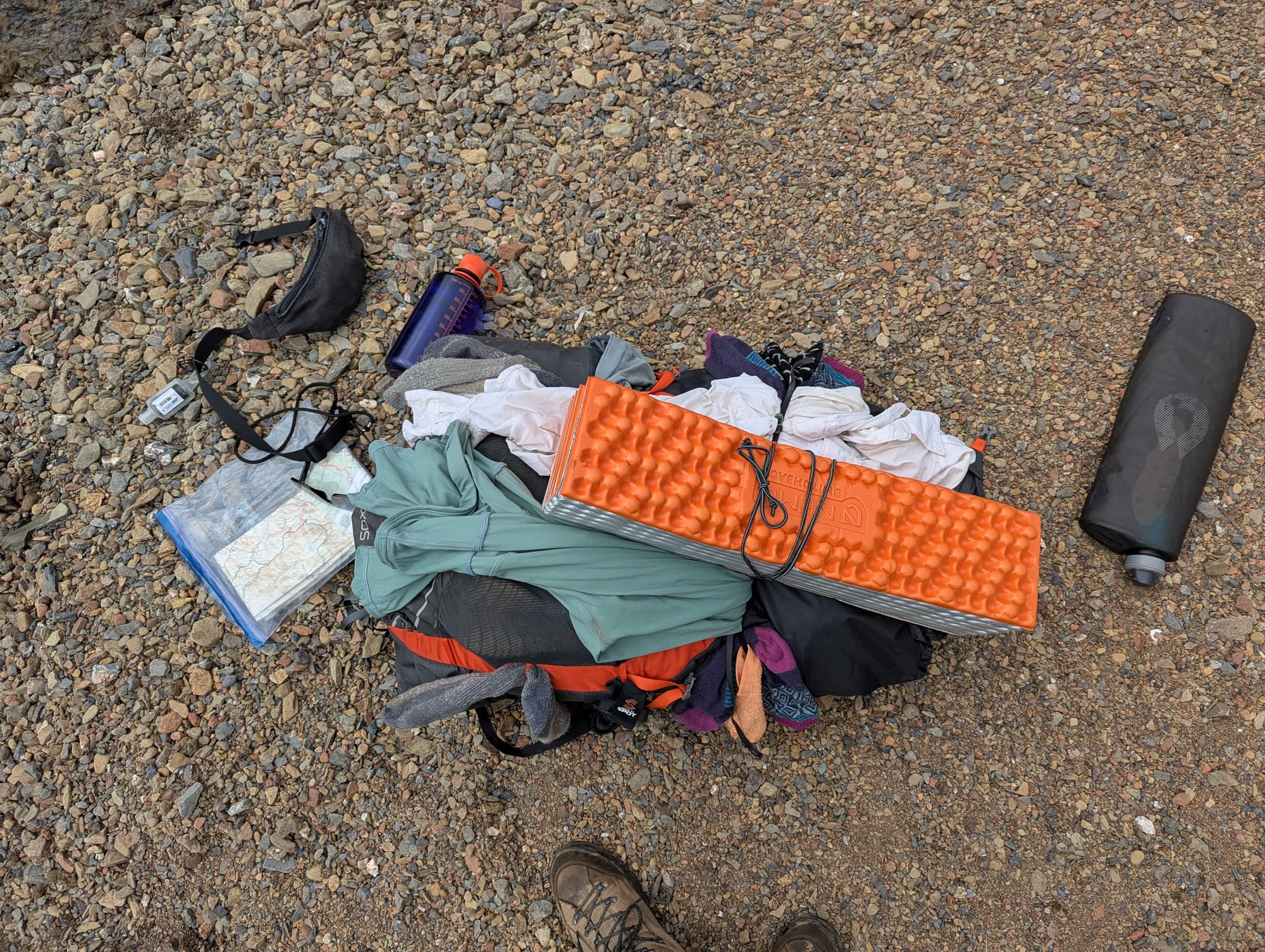
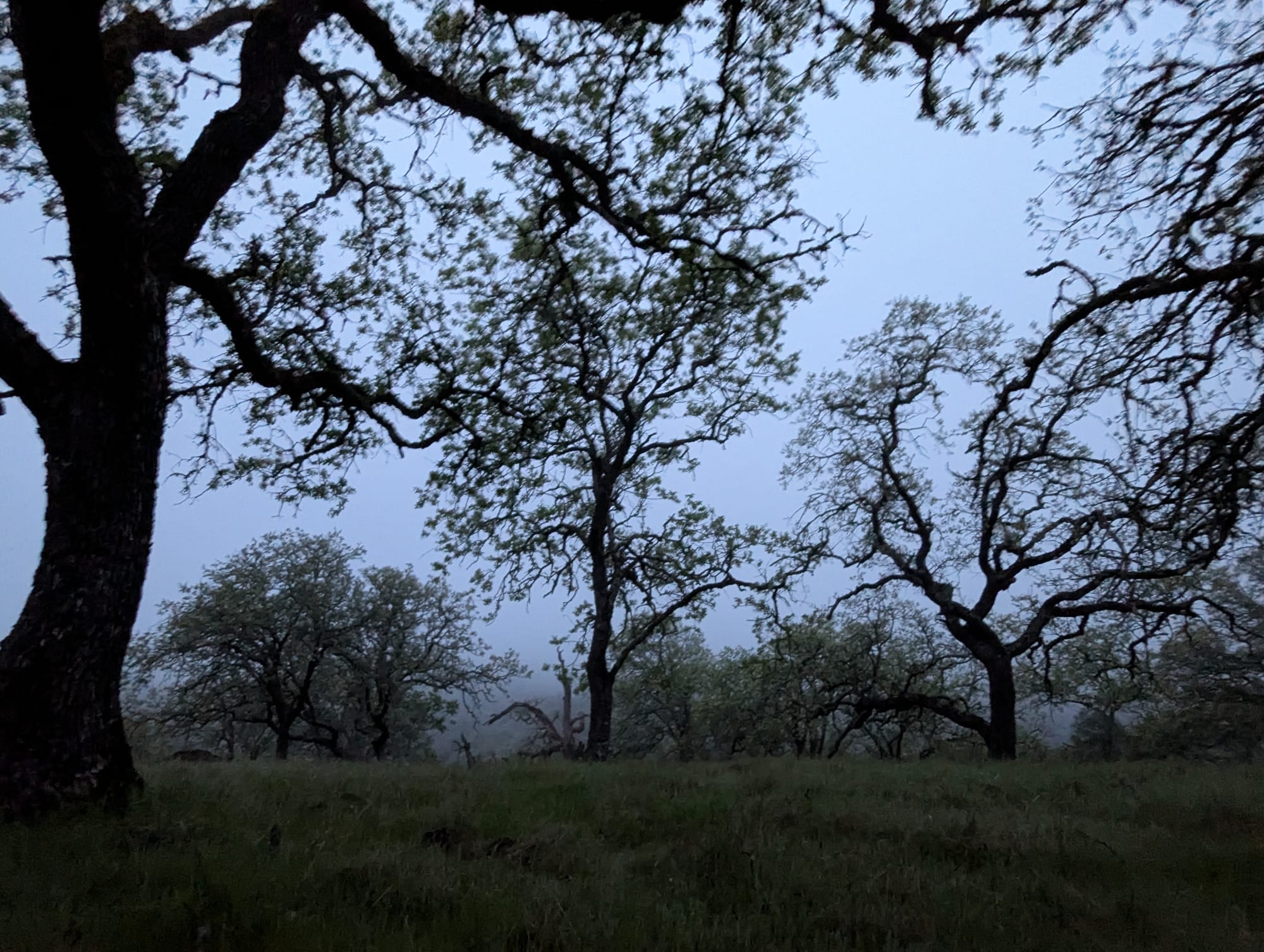
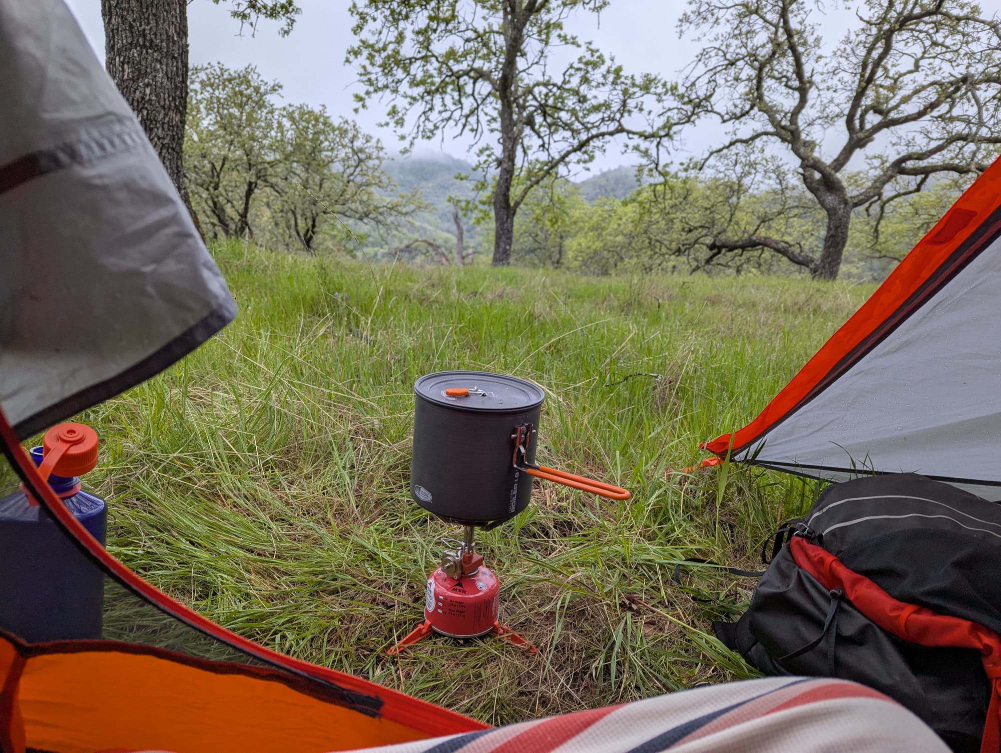
I woke up on the last day still inside a cloud system, with icy wind still pelting my tent with raindrops. It was the hardest time I've ever had getting out of bed on a camping trip before. I finally had to pee enough to force me out of my sleeping bag, and I ran and grabbed my backpack and my now soaking wet laundry from the tree it was hanging in, and brought everything into my tent vestibule to pack up from there.
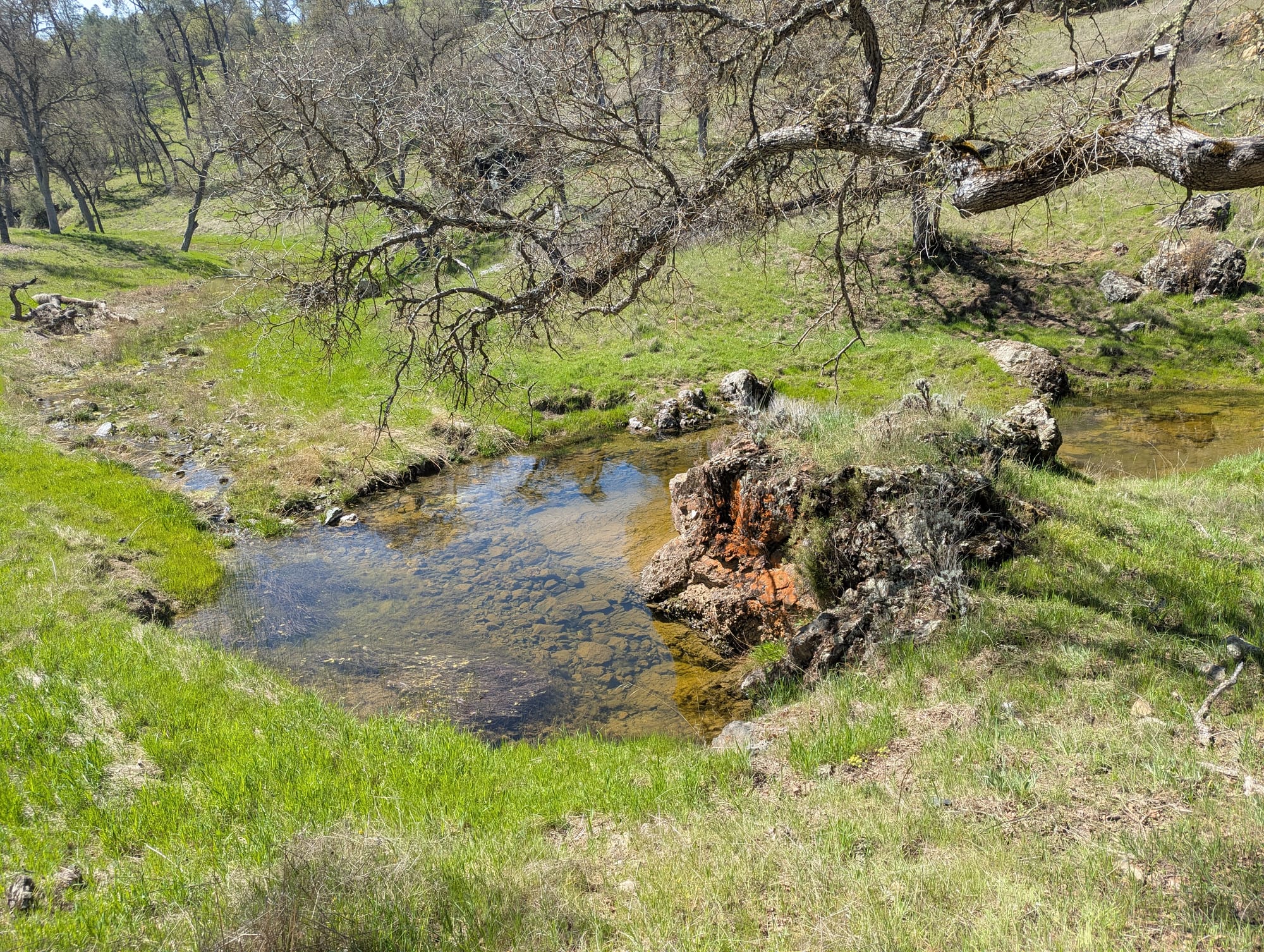
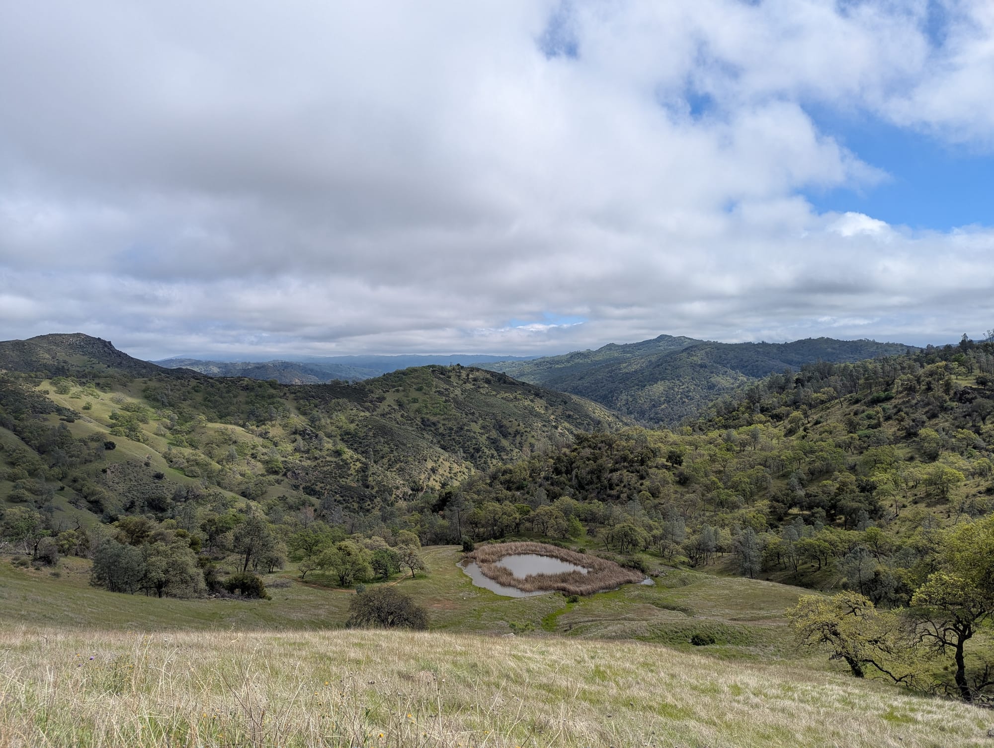
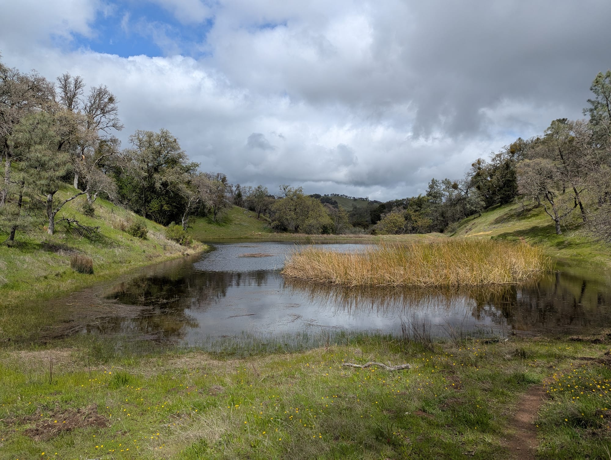
By around 11 or noon, I was finally packed up, and the sun was finally coming out a bit. I had a Lyft scheduled from the Hunting Hollow entrance at 6pm, and only had about 8 miles to cover, so I could afford to take my time. I gathered my final batch of nature water from this picturesque as hell little pond, and headed back up the ridge for my final stretch.
Now that the sun was fully out and I had sweeping views of the entire park, I started to get really emotional. The night before, I'd been so ready to be home, but now I was thinking about the singular experience I was about to leave behind. I stood and stared out over the endless mountains for a while.
Since I had time to kill, I took a little detour to Wasno Pond (yes there was! I saw it!). Pretty, otherwise unremarkable except for the fact that it was populated by one (1) single duck. I don't know why this was so funny to me. Just a solitary little guy swimming around, seemingly content. Maybe this park is so vast that you can have a pond to yourself if you so desire.
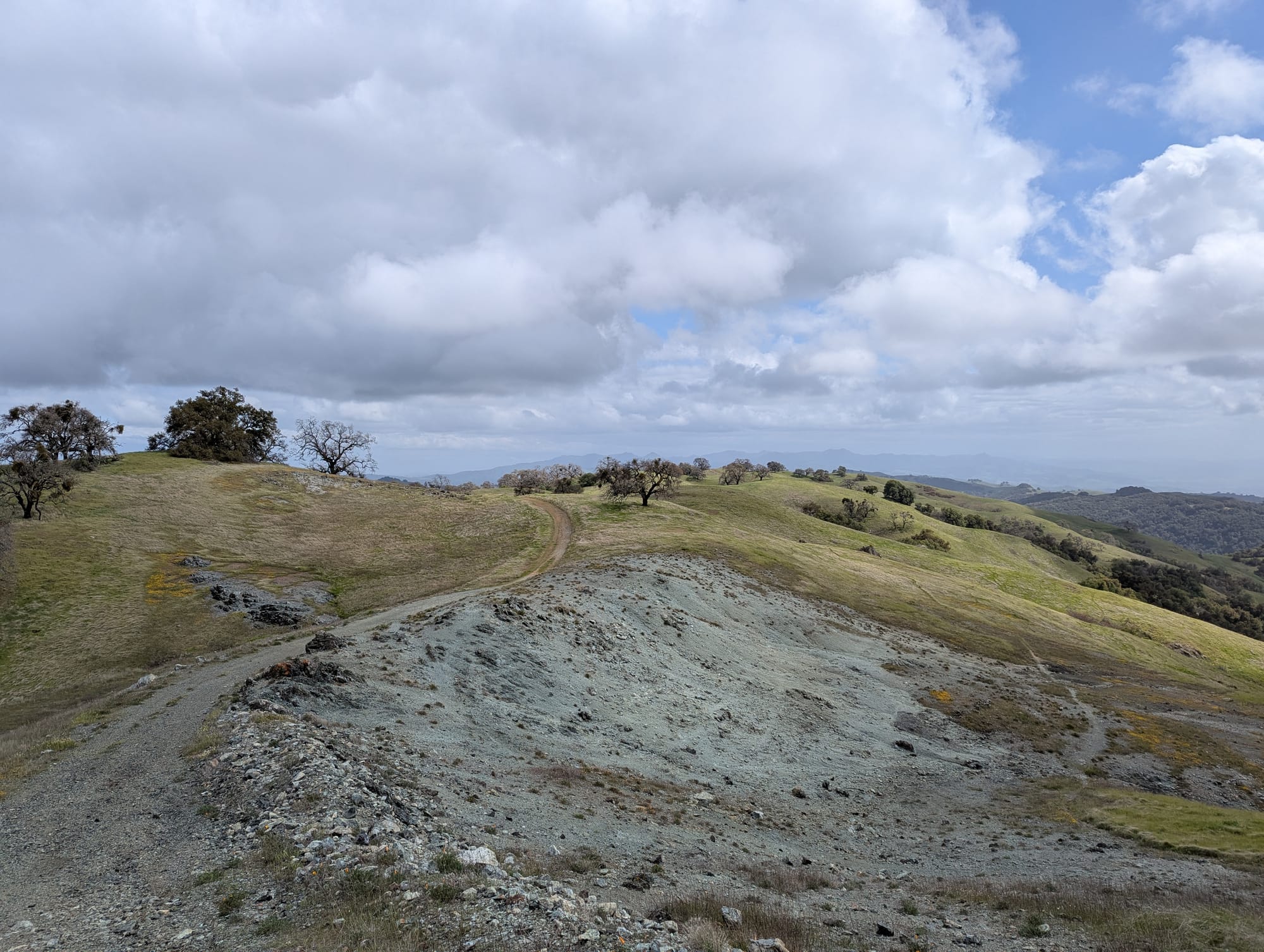
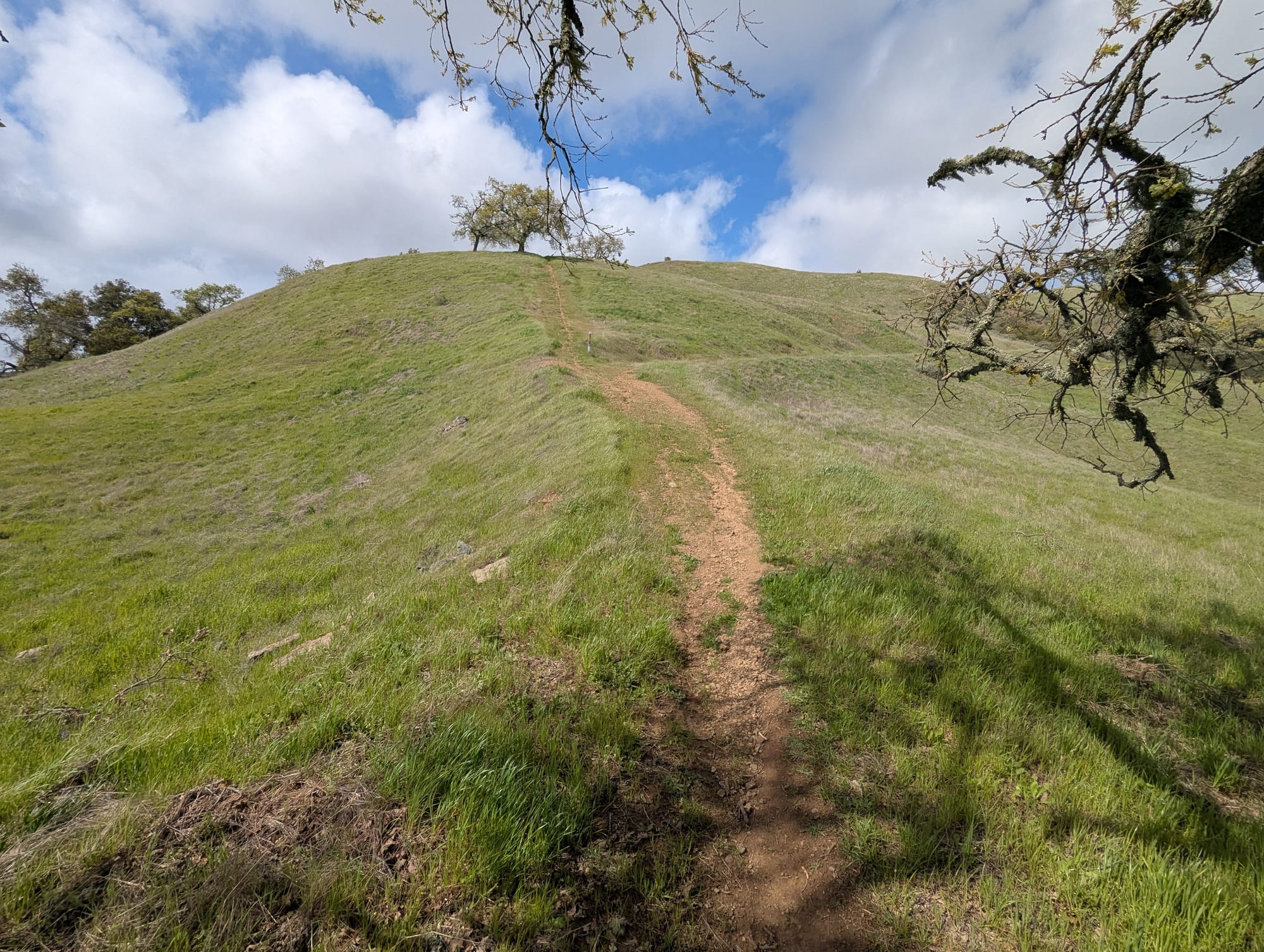
Finally, I headed to Middle Steer Ridge Trail to make my final descent: up a hill, past a massive swath of exposed serpentine, and finally down one of the steepest trails I've ever experienced. Slippery, narrow, gravely single track, going straight down the sharp nose of the ridge. I was taking like 6" long steps, doing some kind of sideways slow motion Riverdance looking maneuver, delicately scooting down the hill with my heavy backpack and a 20 mph cross breeze.
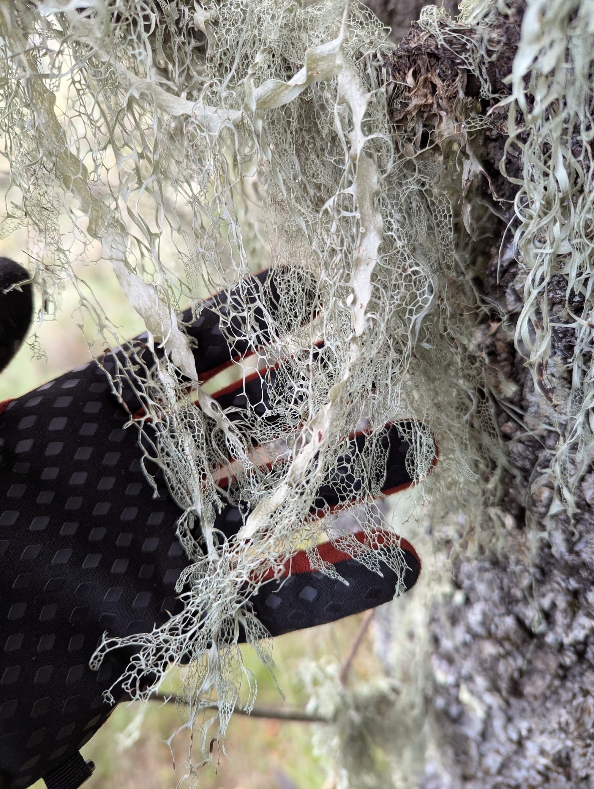
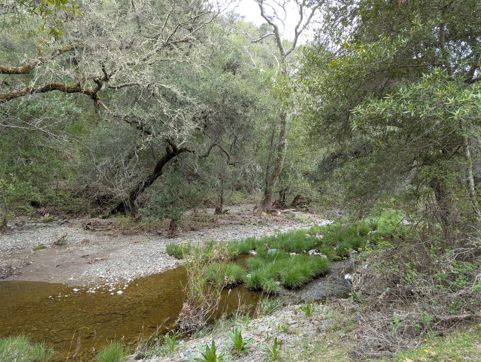
At one point I fell right on my ass and could not get up (without taking my backpack off). This entire treacherous affair took place inside the Windows XP desktop background, and as I went further down, the oaks became covered in beard lichen, reminiscent of live oaks along the coast. I finally had a creek in sight, and knew I was close.
There was no service at or near the entrance gate, so I waited anxiously for an hour or so, hoping my scheduled Lyft would actually arrive. (Atomly and I had devised a Morse code-like combination of the 3 pre-programmed messages on my Spot that meant "send a Lyft to Hunting Hollow" just in case). The guy showed up on time, thankfully, and we had a nice chat on our drive to Gilroy. He taught me how to make quinoa in a rice cooker.
In Gilroy, I caught my scheduled Greyhound bus, ate a gummy, and had a surprisingly chill ride home.
Conclusion
I've been dreading writing this post for the same reason I'd been dreading the "how was it?" questions when I returned from my trip. How do you sum up an experience as all-consuming as 5 days alone in the wilderness? "It was great" is true but feels disingenuous, as there were moments, even days, of overwhelming physical discomfort and flagging morale. But if you mention this, people tend to pity you for Having A Bad Time On Vacation, which is also wholly inaccurate.
Ultimately, it is a transformative experience, wherein you hand over yourself, your belongings, your plans, and your expectations to the elements and the rugged terrain. You are disassembled into your component parts, and then reassembled, almost but not exactly the same⁴.
I'm already excited for my next visit.
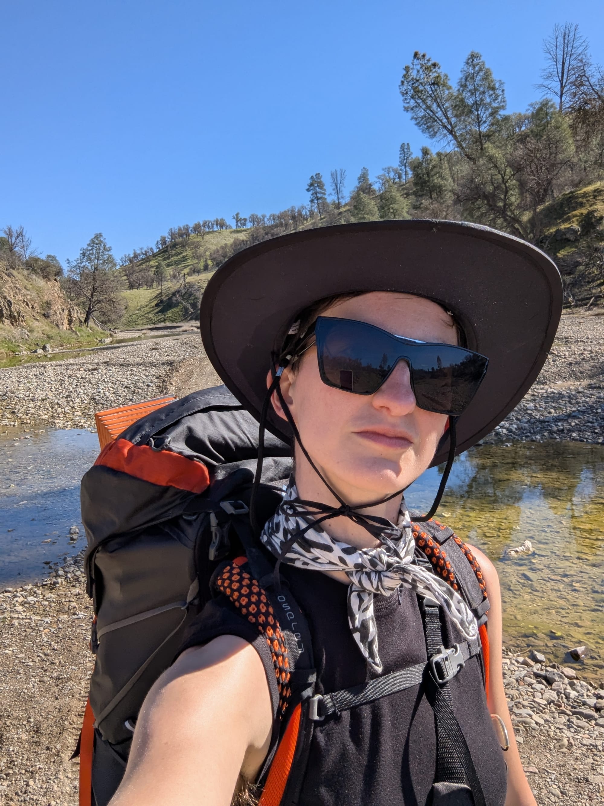
Footnotes/Appendix
¹ Including this down here because it's unaesthetic from a scrolling-through-a-photo-essay perspective but I had to share it.
² I was excited for my visit to Orestimba Wilderness, thinking that it would be even more untouched than the rest of the already-wild park. It was beautiful, but it was also full of this dickhead's cattle. He lets his herds graze freely, and the park knows about it, but allows it I suppose. When I think "wilderness" I don't think 2000 lb non-native grazers, but maybe that's just me. Anyway, the entitlement of cattle farmers in this state never ceases to amaze me. 👴🗣️☁️
³ The usual process of trying to go camping in the Bay Area or basically anywhere nearby is extremely "Welcome to your Authentic Nature Experience, please stand in line and wait for your number to be called. If you do not have a ticket, you must go to the back of the line." Reservations are made through complicated recreation.gov portals, and for some places it's almost a Burning Man tickets type situation. Campsites are expensive - Coe is $5/night compared to $30/night at Point Reyes (or basically anywhere else in the Bay.) It has never felt equitable to me, having to "know the deal", having to have the time to watch a reservation website for openings, having to cough up hundreds of dollars just to spend a couple nights on our "public" land.
⁴ This just reminded me of the time in college where I took apart my entire bike to repaint the frame. I put it all back together, looking spiffy, but somehow ended up with a single screw or washer leftover and no idea where it was supposed to go.


